The best road cycling routes around Hornindal
5.0
(3)
74
riders
7
rides
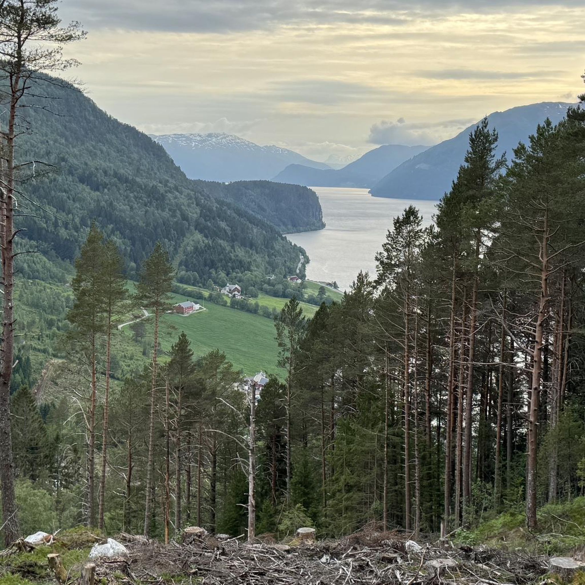
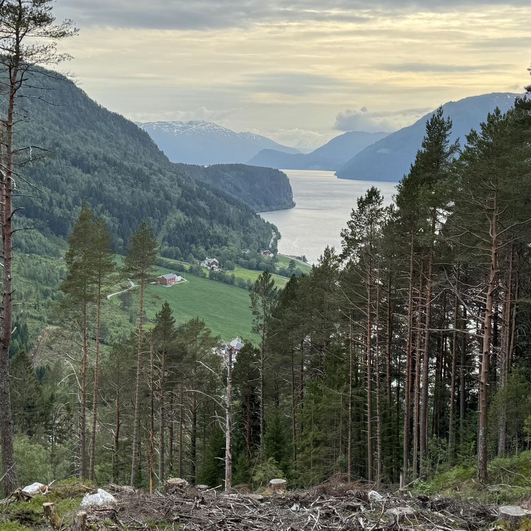
Road cycling routes around Hornindal are set amidst towering mountains and fjord-like valleys, offering a diverse landscape for cyclists. The region is characterized by steep mountain slopes and the deep waters of Hornindalsvatnet, Europe's deepest lake, providing scenic backdrops. Cyclists can expect routes with significant elevation gains on largely paved surfaces, traversing varied terrain.
Best road cycling routes around Hornindal
- The most popular road cycling route is Rabben – Norsvegen loop from Stryn vidaregåande skule, a 59.6 miles (95.9…
Last updated: June 29, 2026
24
riders
Moderate road ride. Good fitness required. Mostly well-paved surfaces and easy to ride.
5.0
(1)
16
riders
97.3km
05:15
1,600m
1,600m
Hard road ride. Very good fitness required. Some segments of this route may be unpaved and difficult to ride.

Sign up for free
5.0
(2)
11
riders
118km
05:52
1,690m
1,690m
Hard road ride. Very good fitness required. Mostly well-paved surfaces and easy to ride.
11
riders
75.8km
04:28
1,650m
1,650m
Hard road ride. Very good fitness required. Some segments of this route may be unpaved and difficult to ride.
5
riders
132km
07:58
1,700m
1,700m
Hard road ride. Very good fitness required. Some segments of this route may be unpaved and difficult to ride.
Get access to more routes and recommendations from other explorers.
Sign up for free
Already have an account?
Our route recommendations are based on thousands of hikes, rides, and runs completed by other people on komoot.
Start today with a free account
Your next adventure awaits.
Login or Signup
Popular around Hornindal
Tips from the Community

Small weir for a walk, but not a major highlight…
0
0

Road biking, running, and walking on a quiet side road with decent asphalt. No sidewalk or bike path!
0
0

Loen Skylift - enjoy the magnificent view of the Nordfjord with the cable car. The Loen Skylift was opened by Queen Sonja herself on May 20, 2017. The steepest cable car in the world takes you to a height of 1000 m in just seven minutes. The cable car has two gondolas with the sonorous names Hugin and Munin. These alternate and carry around 35 people. The end station of the lift is on the Hoven mountain, which rises steeply above the Nordfjord.
1
0
Since 1934, the church has been used for special occasions and serves mainly as a museum. The white wooden church was built in 1759 in a cruciform design according to plans by an unknown architect.
1
0
The red wooden church was built in 1934 according to plans by the architect Daniel Muri in the form of a long church.
1
0

Hellesylt is a small place where you can relax a little.
0
0
Small place to walk
0
0

A beautiful waterfall in the middle of Hellesylt.
0
0
Frequently Asked Questions
How many road cycling routes are available around Hornindal?
There are 7 road cycling routes around Hornindal, offering a diverse range of experiences. The majority, 6 routes, are classified as difficult, while 1 route is moderate, catering to various skill levels.
What kind of terrain can I expect on road cycling routes in Hornindal?
Road cycling in Hornindal features towering mountains, fjord-like valleys, and the expansive Hornindalsvatnet, Europe's deepest lake. You can expect routes with significant elevation gains on largely paved surfaces, traversing varied and often challenging terrain.
Are there any moderate road cycling routes in Hornindal?
Yes, there is one moderate road cycling route available. The Glacier View loop from Visnes is a 54.2 km path that offers views of glacial landscapes and takes approximately 2 hours 17 minutes to complete.
Which road cycling routes offer the most challenging climbs?
For experienced riders seeking significant climbs, routes like the Rabben – Norsvegen loop from Stryn vidaregåande skule (95.9 km with 1589m elevation gain) and the View of Lake Loen – Loen Skylift Base Station loop from Eid kyrkje (118.3 km with 1693m elevation gain) provide substantial ascents and panoramic views.
Are there any road cycling routes that feature waterfalls?
Yes, the region is known for its waterfalls. The Hellesylt Boutique & Bar – Waterfall loop from Grovaøyane is a difficult 132.1 km route that specifically highlights waterfalls, including the Hellesylt Waterfall, adding to the scenic beauty.
What are some scenic viewpoints or attractions along the road cycling routes?
Many routes offer stunning views. You can find highlights like Hoven Summit (1011 m), the Loen Skylift & View from Mount Hoven, and the View of Nordfjord. The View of Lake Loen – Loen Skylift Base Station loop from Eid kyrkje offers views of Lake Loen.
What do other road cyclists say about the routes in Hornindal?
The road cycling routes in Hornindal are highly rated by the komoot community, with an average score of 5.0 stars. Over 70 road cyclists have used komoot to explore the varied terrain, often praising the challenging climbs and panoramic views of the surrounding mountains and fjords.
Are there any loop routes for road cycling in Hornindal?
Yes, all the listed road cycling routes in Hornindal are designed as loops. Examples include the Rabben – Norsvegen loop from Stryn vidaregåande skule and the Glacier View loop from Visnes, allowing you to start and finish at the same point.
What is the best season for road cycling in Hornindal?
Hornindal offers an exceptional environment for outdoor activities. While specific seasonal details are not provided, the stunning natural features and varied terrain are best enjoyed during milder weather, typically from late spring through early autumn, when roads are clear of snow and ice.
Are there any routes that offer views of Hornindalsvatnet, Europe's deepest lake?
Yes, Hornindalsvatnet is a central feature of the region. The Glacier View loop from Visnes offers views of glacial landscapes, and the region itself is defined by the deep waters of Hornindalsvatnet, providing picturesque lakeside cycling opportunities.
What are the typical distances for road cycling routes in Hornindal?
The road cycling routes in Hornindal vary significantly in length. You can find routes ranging from moderate distances like the Glacier View loop from Visnes at 54.2 km, to much longer and more challenging routes such as the Hellesylt Boutique & Bar – Waterfall loop from Grovaøyane which is 132.1 km.
Most popular routes around Hornindal
Most popular attractions around Hornindal

Get inspired with the komoot mobile app


Explore more
Browse the best Road cycling routes in other regions.
