The best cycling routes around Vega
3.5
(7)
86
riders
4
rides
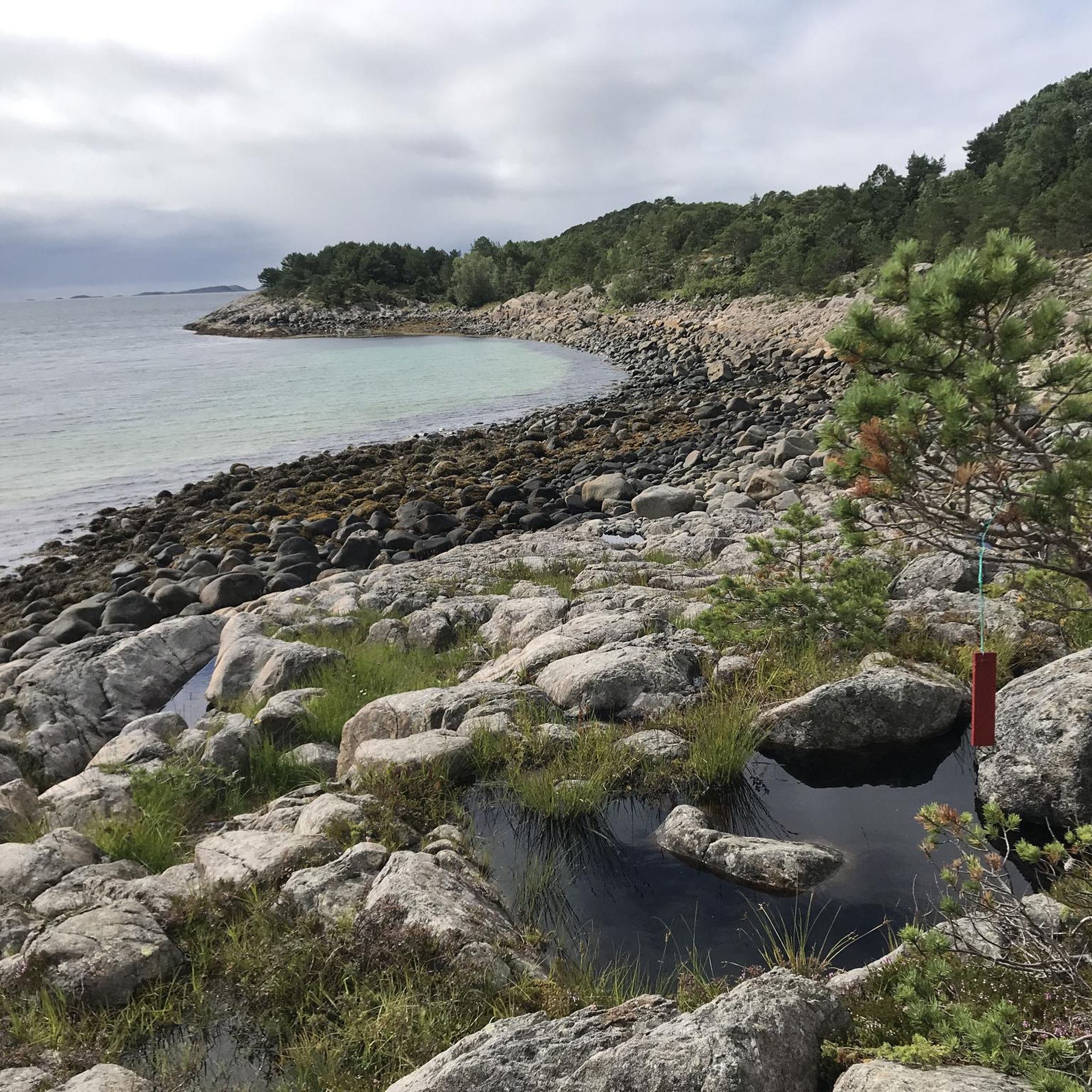
Touring cycling routes around Vega are characterized by coastal landscapes and island views. The region features relatively low elevation gains, with hills under 200 meters, making it suitable for varied cycling experiences. The terrain primarily consists of island roads and paths, offering views of the surrounding waters and natural features.
Best touring cycling routes around Vega
- The most popular touring cycling route is View of Vega Island – Verdensarvkafe and Center loop from Høgåsen, a 22.2 miles (35.7 km)…
Last updated: August 22, 2026
3.0
(1)
8
riders
76.1km
04:41
670m
670m
Hard bike ride. Very good fitness required. Mostly paved surfaces. Suitable for all skill levels.
4.0
(3)
37
riders
35.7km
02:08
150m
150m
Moderate bike ride. Good fitness required. Mostly paved surfaces. Suitable for all skill levels.

Sign up for free
3.0
(1)
15
riders
28.0km
01:43
120m
120m
Easy bike ride. Great for any fitness level. Mostly paved surfaces. Suitable for all skill levels.
4.0
(2)
10
riders
45.0km
02:42
180m
180m
Moderate bike ride. Good fitness required. Mostly paved surfaces. Suitable for all skill levels.
8
riders
16.5km
00:59
30m
30m
Easy bike ride. Great for any fitness level. Mostly paved surfaces. Suitable for all skill levels.
Our route recommendations are based on thousands of hikes, rides, and runs completed by other people on komoot.
Start today with a free account
Your next adventure awaits.
Login or Signup
Popular around Vega
Tips from the Community

Bronnoysund is a town in the municipality of Brønnøy in the county of Nordland, Norway. A sign in the town center indicates the town's location in the center of Norway. The distance to the North Cape and the Lindesnes Lighthouse (considered the southernmost point of the country) is 840 km.
2
0
The Norwegian Aquaculture Center (Norsk Havbrukssenter AS) is a visitor and research facility for modern aquaculture located in Toft, in the Norwegian municipality of Brønnøy, and cooperates with various fish farming companies. The center opened in 2008. The hatchery is accessible via a floating dock. The facility includes a modern feeding platform, an automated feeding system, a control room, underwater cameras, salmon cages, cod cages, and a small aquarium. The aquaculture center is committed to sustainable farming and focuses on the environment beneath the facilities. School classes, kindergartens, tourists, local residents, and stakeholders from the aquaculture industry visit the facility year-round.
3
0
The Brønnøysund Bridge (Brønnøysundbrua) is a 550-meter-long, cantilevered concrete bridge that has connected the Norwegian island of Torget with the mainland at Brønnøysund since 1979. With a maximum clearance of 30 meters, it allows ships to pass through and is an important part of the Norwegian road network. Visitors appreciate the bridge not only as a means of transportation, but also for its architecture and the beautiful views of the surrounding landscape, including the famous Torghatten mountain on the island of Torget.
4
0
In the town center of Bronnoysund lies Brønnøy Church, a stone church in the Neo-Gothic style dating from 1870. Parts of the chancel and entrance walls date back to the Middle Ages. The church's oldest artifact is a pre-Reformation wooden crucifix.
4
0
Brønnøysund lies on a narrow peninsula on the mainland, surrounded by islands and water. Here, you find yourself in the heart of Norway. The small coastal town, with its 5,000 inhabitants, surrounds the narrow but strategically located harbor, where trade and fishing are conducted.
4
0

Cycling over water and islands with spectacular views is just unbelievable.
0
0
The essence of Norway: a bay with blue water and tiny boats, with a backdrop of pastel colored houses.
0
0

The essence of Norway: a bay with blue water and tiny boats, with a backdrop of pastel colored houses.
0
0
Frequently Asked Questions
What is the typical terrain like for touring cycling in Vega?
Touring cycling routes around Vega are characterized by coastal landscapes and island views. The terrain primarily consists of island roads and paths, offering views of the surrounding waters and natural features. You'll find relatively low elevation gains, with hills generally under 200 meters, making for a varied but manageable cycling experience.
Are there touring cycling routes suitable for beginners in Vega?
Yes, Vega offers several routes suitable for beginners. For example, the View of Vega Island – Einesfossen loop from Kvalholmen is an easy 17.7-mile (28.4 km) path featuring minimal elevation changes. Another easy option is the View of Vega Island – Verdensarvkafe and Center loop from Høgåsen, which is 15.3 miles (24.5 km) long.
What kind of elevation gain can I expect on touring cycling routes in Vega?
The touring cycling routes in Vega generally feature gentle hills and relatively low elevation gains. The highest elevation gain on a single route is around 180 meters, as seen on the View of Vega Harbor – Harbor in Norway loop from Risåsen. Most routes have elevation gains well under 150 meters, making them accessible for various fitness levels.
Are there any circular touring cycling routes in Vega?
Yes, all the touring cycling routes listed for Vega are circular loops. This means you can start and end your ride at the same point, making logistics simpler. Examples include the View of Vega Island – Verdensarvkafe and Center loop from Høgåsen and the Rest Area by the Lake loop from Risåsen.
What natural features or landmarks can I see while cycling in Vega?
While cycling in Vega, you can enjoy stunning coastal views and island scenery. Specific points of interest include the Ravnfloget Vegatrappa, which offers panoramic views, and the Stortuva Summit with views of the Seven Sisters and Herøy Islands. You might also encounter the Einesfossen waterfall on some routes, such as the View of Vega Island – Einesfossen loop from Kvalholmen.
Are the touring cycling routes in Vega suitable for families?
Given the prevalence of easy and moderate routes with low elevation gains, many touring cycling routes in Vega are suitable for families. The island roads and coastal paths offer a pleasant environment for cyclists of varying ages and abilities. Routes like the View of Vega Island – Verdensarvkafe and Center loop from Høgåsen are good options for a family outing.
What do other cyclists say about touring cycling in Vega?
The touring cycling routes in Vega are highly rated by the komoot community, with an average score of 4.0 stars from 5 reviews. Over 80 touring cyclists have used komoot to explore Vega's varied terrain, often praising the scenic coastal views and the accessibility of the island roads.
How long do touring cycling routes in Vega typically take?
The duration of touring cycling routes in Vega varies depending on the distance and your pace. Most routes can be completed within 2 to 3 hours. For instance, the View of Vega Island – Verdensarvkafe and Center loop from Høgåsen takes approximately 2 hours 13 minutes, while the longer View of Vega Harbor – Harbor in Norway loop from Risåsen typically takes about 2 hours 41 minutes.
Are there places to stop for refreshments or accommodation along the routes?
Yes, some routes pass by places where you can stop for refreshments. For example, the View of Vega Island – Verdensarvkafe and Center loop from Høgåsen passes by a local cafe. Additionally, you might find options for camping, such as the Brådal Camping Spot, which could be near some routes.
When is the best time of year to go touring cycling in Vega?
Given Vega's coastal location, the best time for touring cycling is typically during the warmer months, from late spring through early autumn (May to September). During this period, you can expect milder temperatures and longer daylight hours, which are ideal for enjoying the island's scenery and coastal routes.
Can I expect to see wildlife while touring cycling in Vega?
While specific wildlife sightings on the cycling routes are not guaranteed, coastal areas like Vega are often home to various bird species. Keep an eye out for marine birds and other local fauna as you cycle along the island roads and paths.
How many touring cycling routes are available in Vega?
There are a handful of dedicated touring cycling routes available in Vega, offering diverse experiences across the island's coastal landscapes. These routes cater to various skill levels, from easy to moderate.
Most popular routes around Vega
Most popular attractions around Vega

Get inspired with the komoot mobile app


Explore more
Browse the best Cycling routes in other regions.
