The best road cycling routes around Halsa
37
riders
7
rides
Road cycling routes around Halsa, a village in Heim Municipality, Trøndelag county, Norway, offer diverse terrain for cyclists. The region is characterized by its location between Halsafjorden and Skålvikfjorden, providing scenic fjord-side roads and coastal beauty. Cyclists can expect varied landscapes, from tranquil stretches along the water to mountainous terrain with significant elevation changes. The area's roads often feature low traffic, allowing for an immersive cycling experience amidst Norway's natural features.
Best road cycling routes around Halsa
- The most popular…
Last updated: June 29, 2026
9
riders
35.8km
01:42
480m
480m
Moderate road ride. Good fitness required. Mostly well-paved surfaces and easy to ride.
10
riders
91.2km
04:34
1,340m
1,340m
Hard road ride. Very good fitness required. Some segments of this route may be unpaved and difficult to ride.

Sign up for free
4
riders
29.2km
01:34
450m
450m
Moderate road ride. Good fitness required. Some segments of this route may be unpaved and difficult to ride.
3
riders
37.0km
01:46
510m
510m
Moderate road ride. Good fitness required. Mostly well-paved surfaces and easy to ride.
5
riders
152km
07:30
1,630m
1,630m
Hard road ride. Very good fitness required. Mostly well-paved surfaces and easy to ride.
Get access to more routes and recommendations from other explorers.
Sign up for free
Already have an account?
Our route recommendations are based on thousands of hikes, rides, and runs completed by other people on komoot.
Start today with a free account
Your next adventure awaits.
Login or Signup
Popular around Halsa
Tips from the Community

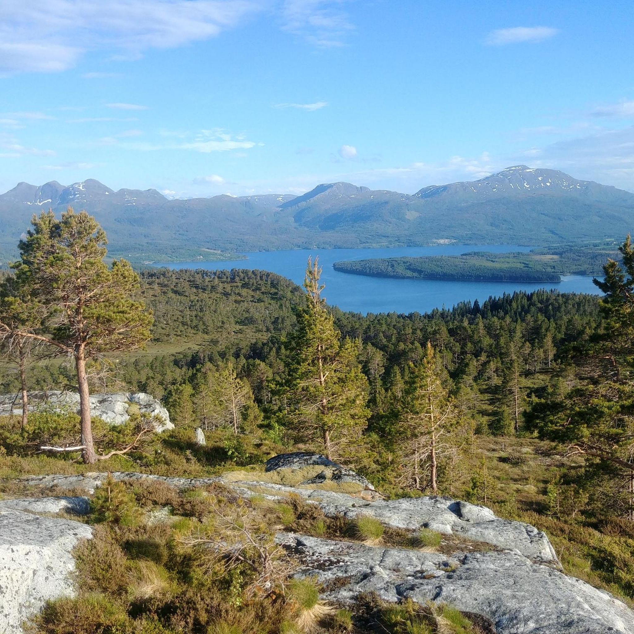
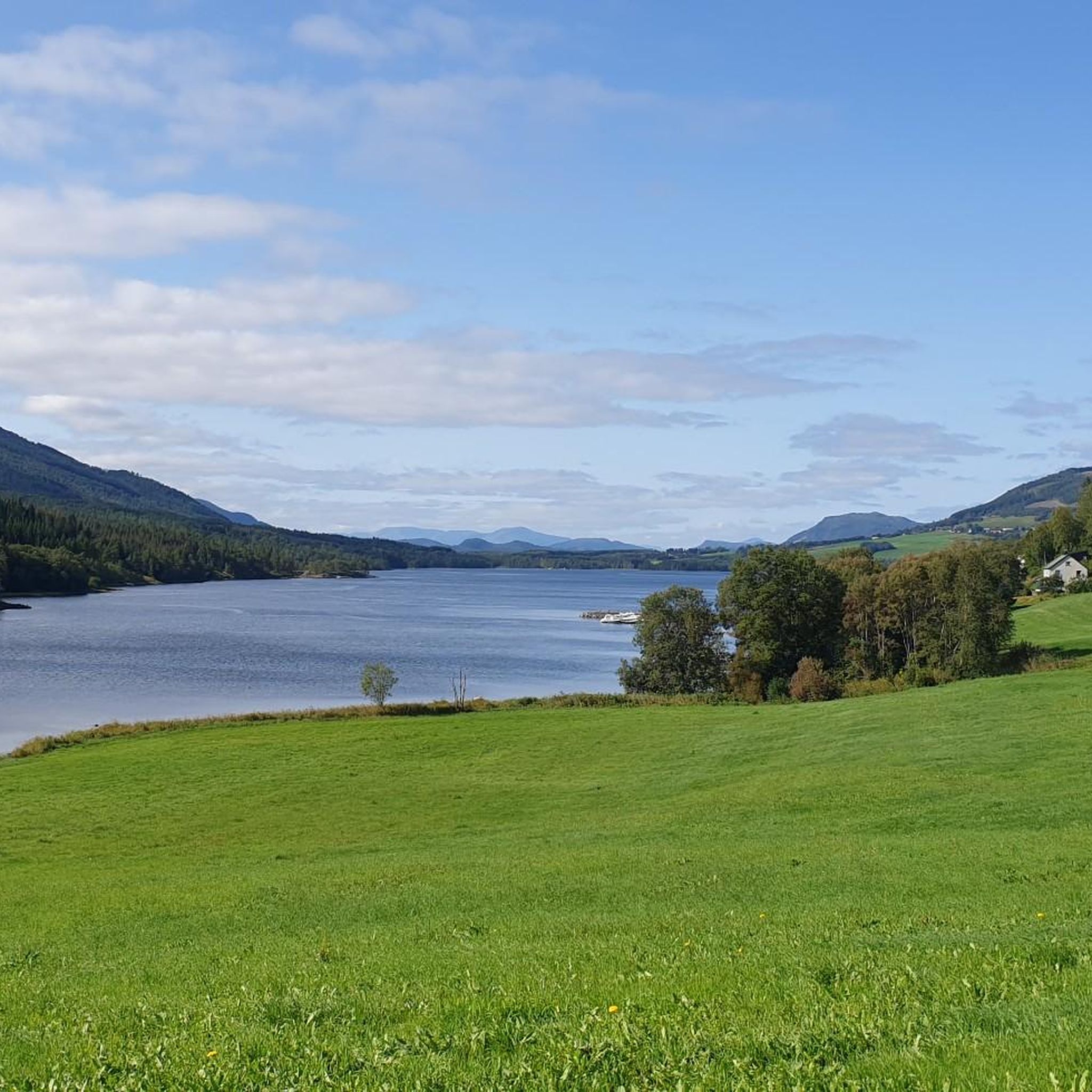
Occupying a lovely spot at the end of the Foldfjorden, Ålmo is a picturesque village. Comprising half-a-dozen farms and a scattering of houses, it's an idyllic location that forms part of the Fjordruta long-distance trail. Peaks visible from the village include Dalamannen, Bårdsetfjellet, Aresvikfjellet and the mountains of Tustnastabban.
0
0
Nauthatten is a small hill on the island of Stabblandet that features on the Fjordruta. The prominence of its modest top makes it a great viewpoint for the island of Smøla and inland for Stabblandet's peaks, including the impressive Storøra.
0
0
Gullstein kirke is a beautiful church and a lovely foreground to Tustna and Stabblandet's peaks. It can hold up to 300 people and was built in 1869. The Fjordruta long-distance trail passes the building.
0
0
This section of the Fjordruta explores some lovely woodland at the foot of eastern Tustna's mountains. It's not far from here to the beautiful Gullstein kirke, built in the long church style and set to the backdrop of Tustna and Stabblandet's peaks.
0
0
Frequently Asked Questions
What kind of terrain can I expect when road cycling around Halsa?
Road cycling in Halsa offers a diverse landscape. You'll find breathtaking fjord-side roads along Halsafjorden and Skålvikfjorden, providing scenic coastal beauty. The region also features mountainous terrain with significant elevation changes, including long, gradual climbs and thrilling descents, appealing to cyclists looking for a challenge.
How many road cycling routes are available in the Halsa area?
There are 7 road cycling routes documented around Halsa on komoot, offering a range of experiences from moderate loops to more challenging long-distance rides.
Are there any challenging road cycling routes for experienced riders?
Yes, Halsa offers routes with substantial elevation gain for experienced cyclists. For example, the Ålmo Village – Gullstein Church loop from Vågosen is a difficult 56.1-mile (90.2 km) trail with over 1300 meters of elevation gain, typically taking around 4 hours and 26 minutes to complete.
What is the best time of year for road cycling in Halsa?
The best time for road cycling in Halsa, and Norway in general, is typically between mid-May and mid-September. During these months, roads are generally clear of snow, and daylight hours are long, providing optimal conditions for exploring the region's scenic routes.
Are there any circular road cycling routes in Halsa?
Yes, many of the routes around Halsa are designed as loops, allowing you to start and end in the same location. Examples include the popular Gullstein Church loop from Ytre Kråkøya and the longer Gullstein Church – Litlbukta loop from Tustna.
What kind of road conditions can I expect while cycling in Halsa?
While much of Norway's cycling infrastructure features well-paved surfaces, some routes, particularly in more remote or mountainous areas, may include unpaved or gravel sections. Generally, the roads are scenic and well-maintained, offering a peaceful experience with low traffic, especially on back roads.
What natural features or landmarks can I see along the road cycling routes in Halsa?
The routes in Halsa offer stunning views of the Halsafjorden and Skålvikfjorden. While cycling, you might pass by various natural features and points of interest. Notable highlights in the broader area include mountain passes like Pass Between Jurtinden and Skarven and various summits such as Skarven Summit, offering dramatic Norwegian landscapes.
Are there any family-friendly road cycling options in Halsa?
While specific 'family-friendly' designations aren't provided for all routes, Halsa offers a mix of difficulties. Moderate routes like the Roadbike loop from Jutvika hyttefelt (18.2 miles / 29.2 km) could be suitable for families with older children or those accustomed to longer rides, especially on the quieter fjord-side roads.
What is the traffic like on Halsa's road cycling routes?
Many parts of the Norwegian road network, including routes around Halsa, offer low-traffic conditions, especially on back roads or older routes. This contributes to a more peaceful and safe cycling experience, allowing for immersive exploration of the natural surroundings.
Are there places to stop for refreshments or accommodation along the routes?
While specific cafes or pubs directly on every route are not detailed, the region's character suggests opportunities to find local produce from roadside farms in summer. For more substantial stops, you would typically find cafes, restaurants, and accommodation options in the villages and settlements within Heim Municipality, such as Liabøen, Valsøyfjord, or Valsøybotn.
What should I bring for road cycling in Halsa?
Given the varied terrain and potential for mixed surfaces, it's advisable to bring a well-maintained road bike suitable for some elevation changes. Essential gear includes appropriate cycling attire for changing weather, a repair kit, sufficient water and snacks, and navigation tools. Being prepared for both paved and potentially unpaved sections will enhance your experience.
Can I use public transport with my bike to access routes in Halsa?
Information on specific public transport options for bikes in Halsa is limited. In general, public transport in rural Norway can be less frequent, and policies for carrying bikes vary. It's recommended to check with local bus or ferry operators in advance if you plan to combine cycling with public transport.
Most popular routes around Halsa
Most popular attractions around Halsa

Get inspired with the komoot mobile app


Explore more
Browse the best Road cycling routes in other regions.
