The best running trails around Åseral
54
runners
8
runs
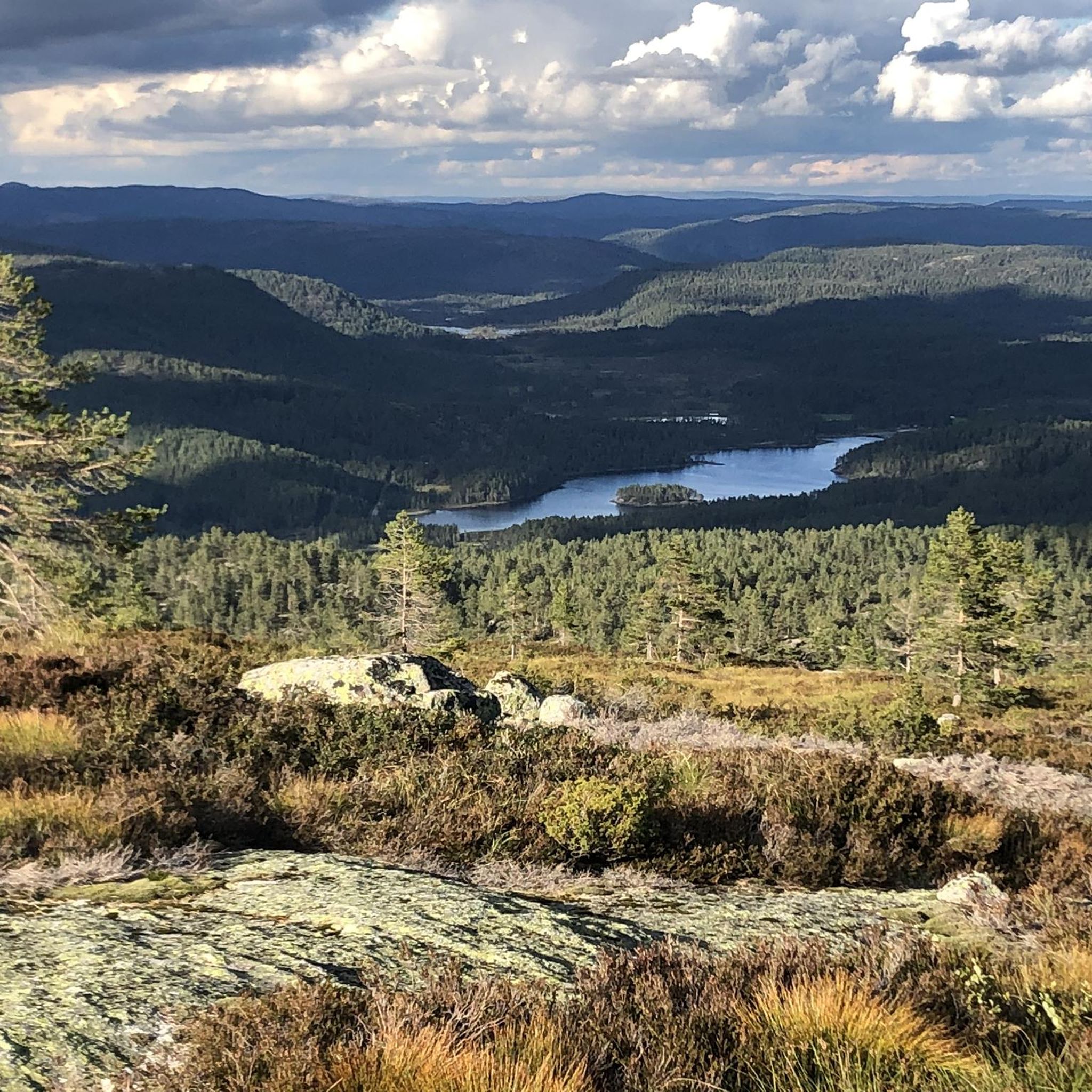
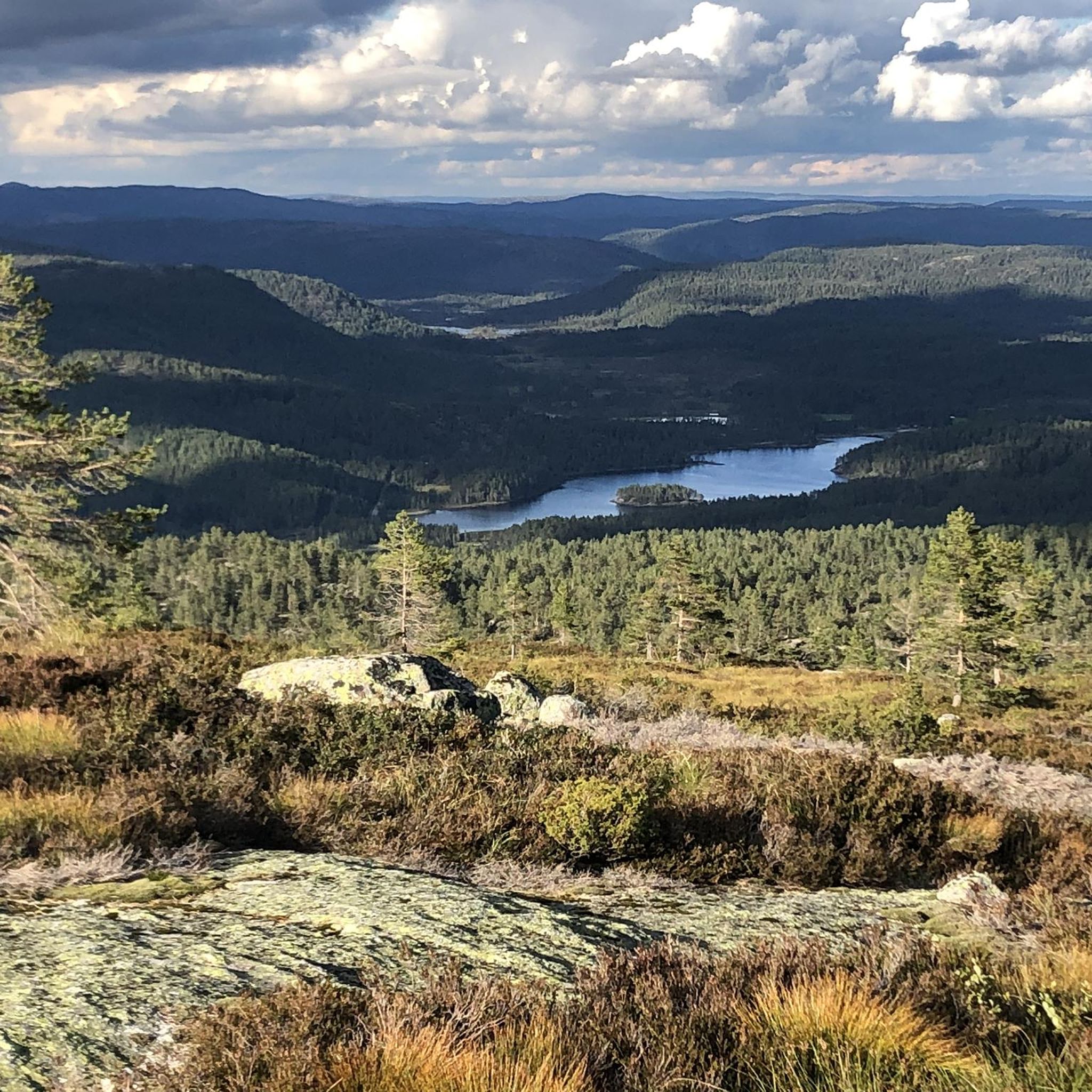
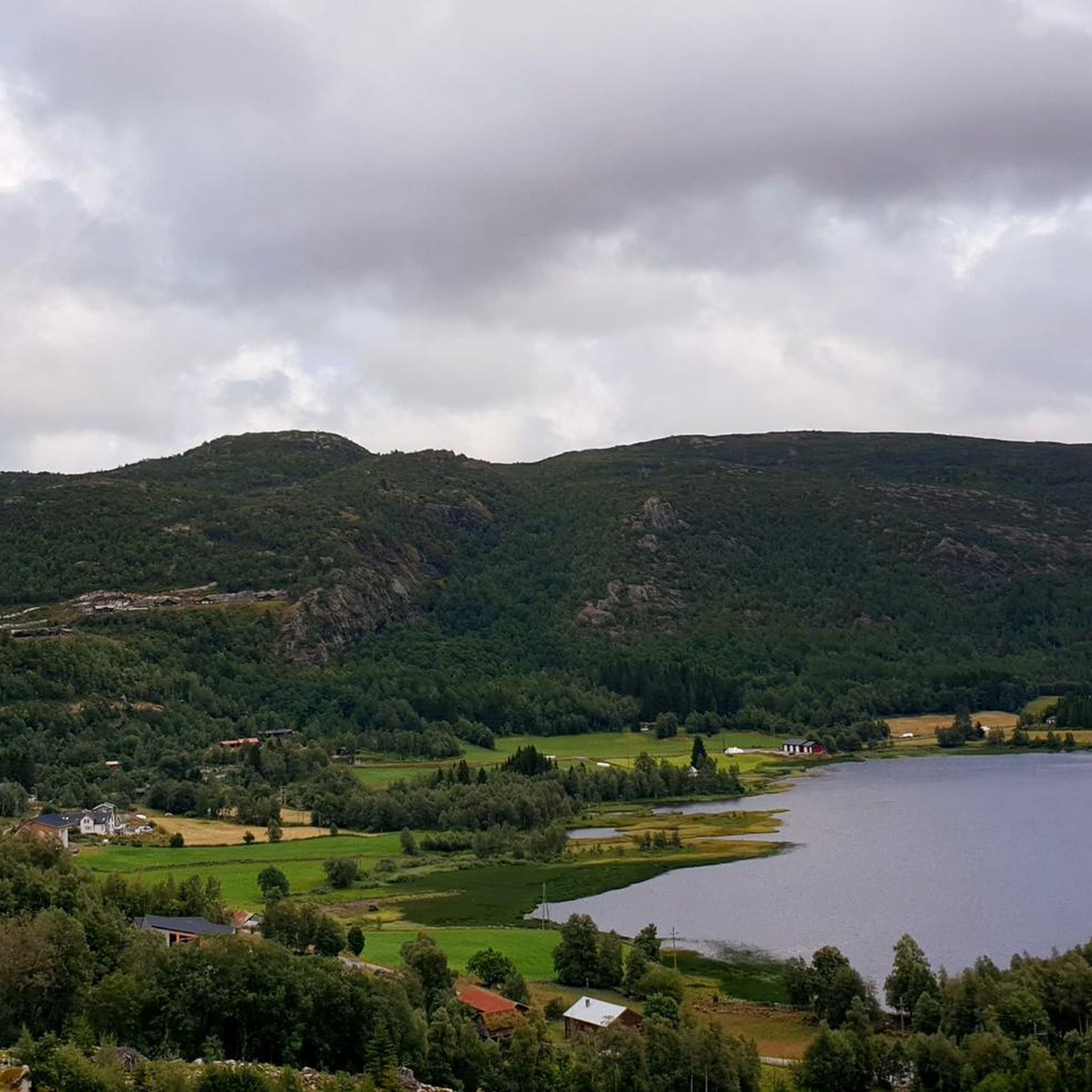
Jogging routes around Åseral traverse a diverse landscape characterized by tranquil forests, rocky outcrops, and high plateaus. The region features majestic mountains and numerous pristine lakes, offering varied scenery for runners. Trails often meander along the edges of lakes and rivers, providing both scenic views and varied gradients. This combination of natural features makes Åseral suitable for a range of running experiences.
Best jogging routes around Åseral
- The most popular jogging route is Bjørkeliæ – Bjørkeholtet loop from Øynæ,…
Last updated: June 29, 2026
13
runners
8.23km
00:57
140m
140m
Moderate run. Good fitness required. Mostly paved surfaces. Suitable for all skill levels.
12
runners
10.0km
01:09
170m
170m
Moderate run. Good fitness required. Mostly paved surfaces. Suitable for all skill levels.

Sign up for free
6
runners
4.83km
00:31
90m
90m
Easy run. Great for any fitness level. Mostly paved surfaces. Suitable for all skill levels.
6
runners
4.26km
00:28
70m
70m
Easy run. Great for any fitness level. Mostly paved surfaces. Suitable for all skill levels.
6
runners
10.7km
01:21
250m
250m
Moderate run. Good fitness required. Mostly paved surfaces. Suitable for all skill levels.
Get access to more routes and recommendations from other explorers.
Sign up for free
Already have an account?
Our route recommendations are based on thousands of hikes, rides, and runs completed by other people on komoot.
Start today with a free account
Your next adventure awaits.
Login or Signup
Popular around Åseral
Frequently Asked Questions
What kind of terrain can I expect on running routes in Åseral?
Running routes in Åseral offer a diverse landscape, ranging from tranquil forests and pastures to rocky outcrops and alpine meadows. You'll find paths meandering along pristine lakes and rivers, providing varied scenery and gradients suitable for different running experiences. The region is known for its southernmost mountains in Norway, offering both gentle paths and more challenging mountain treks.
Are there easy running routes suitable for beginners or families in Åseral?
Yes, Åseral has several easy running routes perfect for beginners or families. For instance, the Store Knabetjødn loop from Moserinnbekken is an easy 3.0-mile (4.8 km) path that winds through tranquil forests, offering a peaceful environment. The region's extensive trail network includes options for all fitness levels.
Can I find circular running trails in Åseral?
Absolutely. Many of the running routes in Åseral are designed as loops, allowing you to start and finish at the same point. Examples include the popular Bjørkeliæ – Bjørkeholtet loop from Øynæ, a 5.1-mile (8.2 km) moderate trail, and the Running loop from Knaben, a 2.6-mile (4.3 km) easy option. These circular routes provide a convenient way to explore the area.
Are there any running routes that feature waterfalls or lakes?
Yes, Åseral's landscape is dotted with pristine lakes and cascading waterfalls, and many running paths offer views of these natural features. You can find scenic routes along lakes like Øre, Gyvatn, and Nåvatnet. The Eikerapen Waterfall is a notable attraction, and other waterfalls can be found along the Hola River, adding picturesque scenery to your run.
What are some points of interest or landmarks I might see while running in Åseral?
While running in Åseral, you can encounter various points of interest. The region offers stunning views of Fånefjorden and other lakes, as well as impressive mountain vistas from summits. For a unique historical perspective, you might find the B-17 Bomber Wreckage (1941 Crash Site). The Eikerapen Waterfall is also a beautiful natural landmark.
Are there options for longer or more challenging running routes?
For those seeking longer or more challenging runs, Åseral provides excellent options. The Farevasstondæ loop from Ljosland kapell is a moderate 6.6-mile (10.7 km) route with significant elevation gain. The region's mountainous terrain, including peaks like Skoræ and Skrivarknuten, offers strenuous trail running opportunities for experienced runners.
Is Åseral suitable for winter jogging or running?
While Åseral is primarily known for skiing in winter, many of its extensive trails transform into excellent paths for hiking and running in warmer months. For evening or winter runs, Kyrkjebygd offers an illuminated cross-country ski track, which can provide a safe and accessible option after dark, depending on snow conditions.
What is the best time of year to go jogging in Åseral?
The best time of year for jogging in Åseral is typically during the warmer months, from spring through autumn. During this period, the extensive network of trails through mountains, forests, and along lakes is clear of snow and ideal for running, allowing you to fully enjoy the diverse and stunning natural landscapes.
Are there any specific areas in Åseral known for good running trails?
Areas like Ljosland and Bortelid, known for their ski resorts, also provide year-round access to nature with trails perfect for running in the summer. Kyrkjebygd offers an illuminated track for evening runs. The general region around Åseral, with its diverse terrain and extensive trail network, ensures good running opportunities throughout.
How long do running routes in Åseral typically take to complete?
The duration of running routes in Åseral varies depending on the distance and difficulty. Easy routes like the Running loop from Knaben (2.6 miles / 4.3 km) can be completed in about 28 minutes. Moderate trails, such as the Bjørkeliæ – Bjørkeholtet loop from Øynæ (5.1 miles / 8.2 km), typically take around 1 hour.
Where can I find parking for running trails in Åseral?
Parking is often available at trailheads or near popular starting points for routes. For example, the Ørnenapen Trailhead Parking is one such location. Many routes start from villages or accessible points where parking facilities are provided, making it convenient to access the trails.
What do other runners enjoy most about jogging in Åseral?
Runners frequently praise Åseral for its diverse and stunning natural landscapes, which provide a dynamic environment for jogging. The extensive network of well-marked trails, ranging from gentle paths to challenging mountain treks, is highly appreciated. The peaceful surroundings, scenic views along lakes, and the variety of terrain are often highlighted as key attractions.
Most popular routes around Åseral
Most popular attractions around Åseral

Get inspired with the komoot mobile app


Explore more
Browse the best Running Trails & Routes in other regions.
