The best walks and hikes around Herefossfjorden
4.3
(5)
47
hikers
9
hikes
Hiking around Herefossfjorden offers diverse natural landscapes, characterized by fishing lakes, expansive bogs, and dense forests. The region features varied terrain, from gentle paths to more challenging highland routes. Herefossfjorden itself is a significant natural feature, stretching approximately 5.6 miles (9 km) and forming part of the Tovdalselva river system. The area provides a well-signposted trail network suitable for different skill levels.
Best hiking trails around Herefossfjorden
- The most popular hiking route is Rislåknuten Summit – Knutelia loop from Rislåknuten…
Last updated: July 10, 2026
5.0
(2)
7
hikers
3.60km
01:06
120m
120m
Easy hike. Great for any fitness level. Easily-accessible paths. Suitable for all skill levels.
3.0
(1)
14
hikers
5.24km
01:49
280m
280m
Easy hike. Great for any fitness level. Easily-accessible paths. Suitable for all skill levels.

Sign up for free
5.0
(1)
4
hikers
4.24km
01:10
70m
70m
Easy hike. Great for any fitness level. Easily-accessible paths. Suitable for all skill levels.
5
hikers
15.8km
04:16
200m
200m
Moderate hike. Good fitness required. Easily-accessible paths. Suitable for all skill levels.
2
hikers
2.76km
01:02
190m
190m
Easy hike. Great for any fitness level. Easily-accessible paths. Suitable for all skill levels.
Get access to more routes and recommendations from other explorers.
Sign up for free
Already have an account?
Our route recommendations are based on thousands of hikes, rides, and runs completed by other people on komoot.
Start today with a free account
Your next adventure awaits.
Login or Signup
Popular around Herefossfjorden
Tips from the Community

On the wooded climb leading to the summit of Rislåknuten, this clearing offers a stunning view of the Tovdalselva valley. It’s the perfect spot to catch your breath before the final stretch to the summit.
0
0
The summit of Rislåknuten rises to 376 metres. Its 360-degree panoramic view overlooks the entire nature reserve and its surroundings.
0
0
The climb up to Rislåknuten, which is fairly easy, takes you through a lovely forest, particularly during the first part. It’s a peaceful setting before you reach the stunning panoramic views from the summit.
0
0

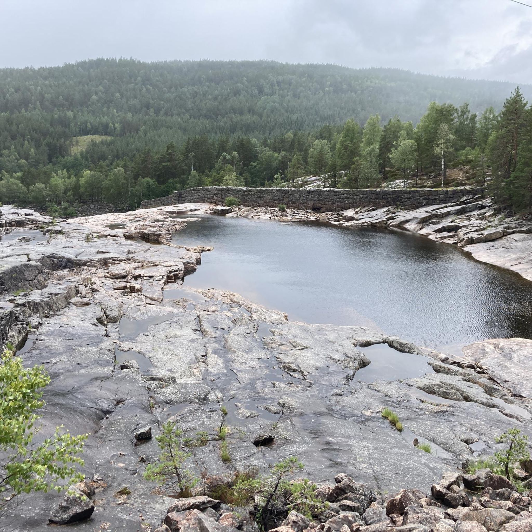
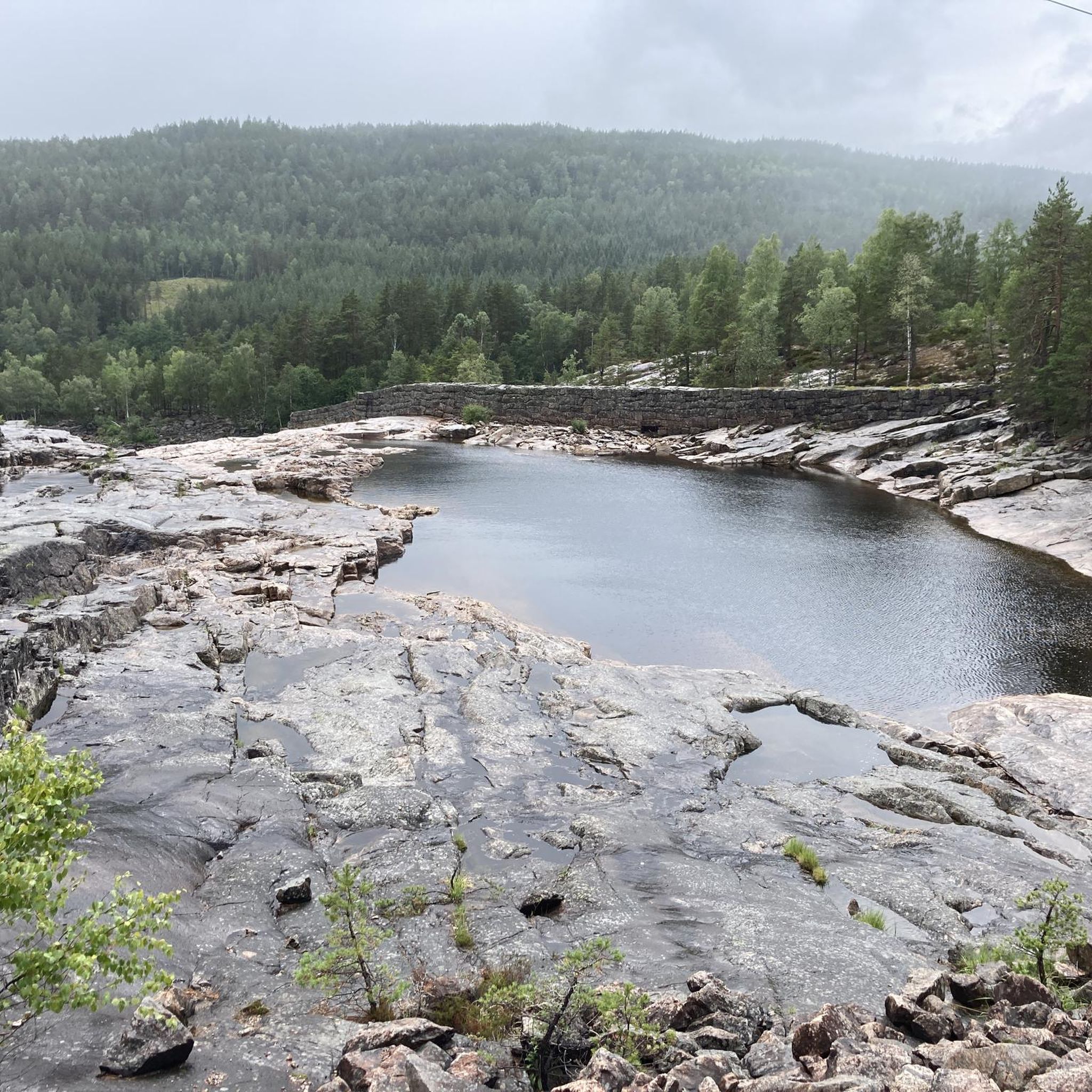
Here the train crosses the wide river bed over a bridge. When there is no water, the rocky surface of the river bed is dry. But beware, signs warn that this can change quickly!
0
0
Here we cross the railway tracks. The train runs more in the tunnel than in the light
0
0
A great refuge with a great view offers a dry shelter here. There are pillows, light, USB charger for mobile phone, stove with wood, binoculars, books and a toilet next door. And all for free. However, you are not allowed to stay overnight. Craziness!
0
0
Frequently Asked Questions
How many hiking trails are available around Herefossfjorden?
There are 9 hiking trails recorded around Herefossfjorden on komoot, offering a range of experiences from easy strolls to more challenging routes. These trails are well-regarded by the komoot community, with an average rating of 4.0 stars.
What kind of terrain can I expect on hikes in Herefossfjorden?
The terrain around Herefossfjorden is quite varied, featuring expansive bogs, dense forests, and highland areas. You'll encounter paths winding past fishing lakes and along the shores of Herefossfjorden itself, offering a diverse hiking experience suitable for different skill levels.
Are there any family-friendly hiking options in the area?
Yes, Herefossfjorden offers several family-friendly options. Areas like Flakkeheia and Eskedal are particularly popular, featuring adventure trails and even troll-themed activities designed to engage younger hikers. Many of the easier routes are also suitable for families.
Are dogs allowed on the hiking trails around Herefossfjorden?
Generally, dogs are welcome on hiking trails in Norway, including around Herefossfjorden. However, it's important to keep dogs on a leash, especially during nesting seasons for birds (April 1 to August 20) and when near livestock. Always clean up after your pet.
Are there any circular or loop trails available?
Yes, many of the trails around Herefossfjorden are designed as circular or loop routes, allowing you to start and end at the same point. For example, the Toplandsheia – Sandtjennknatten loop from Toplandsheia is an easy 4.2 km path, and the Nøklingheia – Toplandsheia loop from Øynastua offers a longer 15.8 km journey.
What are some notable natural features or viewpoints to look out for?
The region is rich in natural beauty. You can find the Gauslåfjorden flowing over the Herefossen waterfall into Herefossfjorden, creating a scenic spectacle. Many trails lead to exceptional viewpoints offering panoramic views across the Sørlandet region. The Kolåsbu Day Use Cabin is also a popular destination with stunning views over Herefossfjorden.
Are there any waterfalls in the Herefossfjorden area?
Yes, the Gauslåfjorden flows over the Herefossen waterfall directly into Herefossfjorden. While not a major hiking destination in itself, its presence adds a dynamic and scenic element to the landscape, enhancing the natural appeal of the area.
What is the best time of year to go hiking in Herefossfjorden?
The best time for hiking in Herefossfjorden is typically from spring through autumn (May to October) when the weather is milder and trails are clear of snow. Summer offers long daylight hours, while autumn provides beautiful fall foliage. Winter hiking is possible, especially for ice fishing on the lake, but requires appropriate gear and conditions.
Are there any historical or cultural landmarks along the trails?
Yes, the Håstølknuten area offers a blend of distinctive rock formations and local history. Below its summit, you can find Råmundhelleren, a historical rock shelter, providing a glimpse into the past while enjoying the natural surroundings.
Is there public transport or parking available near the trailheads?
While specific public transport options directly to all trailheads might be limited, Herefoss village serves as a local hub. Parking is generally available at common starting points for popular trails. It's advisable to check local transport schedules and parking availability for your chosen trailhead in advance.
What do other hikers enjoy most about hiking in Herefossfjorden?
The area is highly rated by the komoot community, with an average score of 4.0 stars. Reviewers often praise the exceptionally well-signposted trail network, making navigation easy, and the diverse natural scenery that includes fishing lakes, dense forests, and panoramic viewpoints.
Are there any challenging hikes for experienced hikers?
While many trails are easy to moderate, the region does offer more challenging options, particularly those leading into highland terrain. The 'På topp i Birkenes' program encourages hikers to collect registered summits, providing a sense of achievement for those seeking more demanding routes and higher elevation gains.
Most popular routes around Herefossfjorden

Get inspired with the komoot mobile app


Explore more
Browse the best Hikes in other regions.
