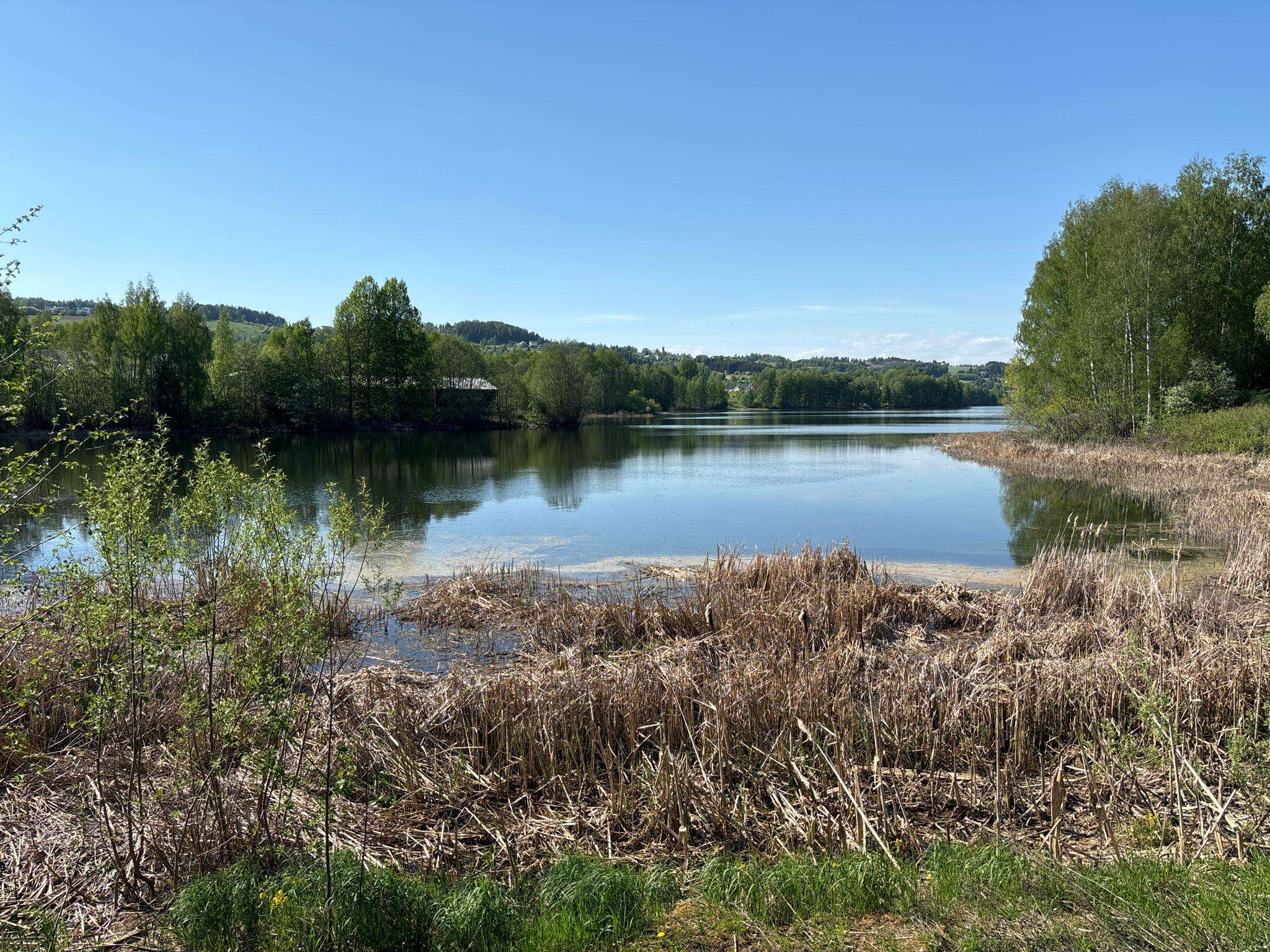
The best MTB trails around Jarenvatnet
3.9
(10)
12
riders
4
rides
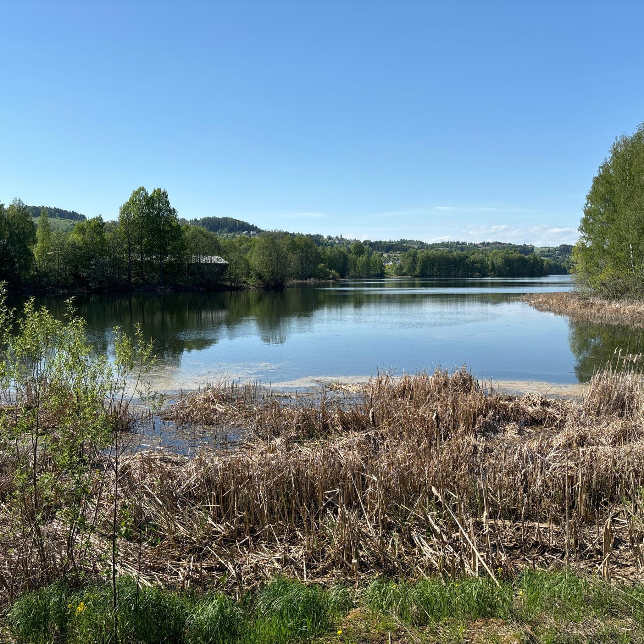
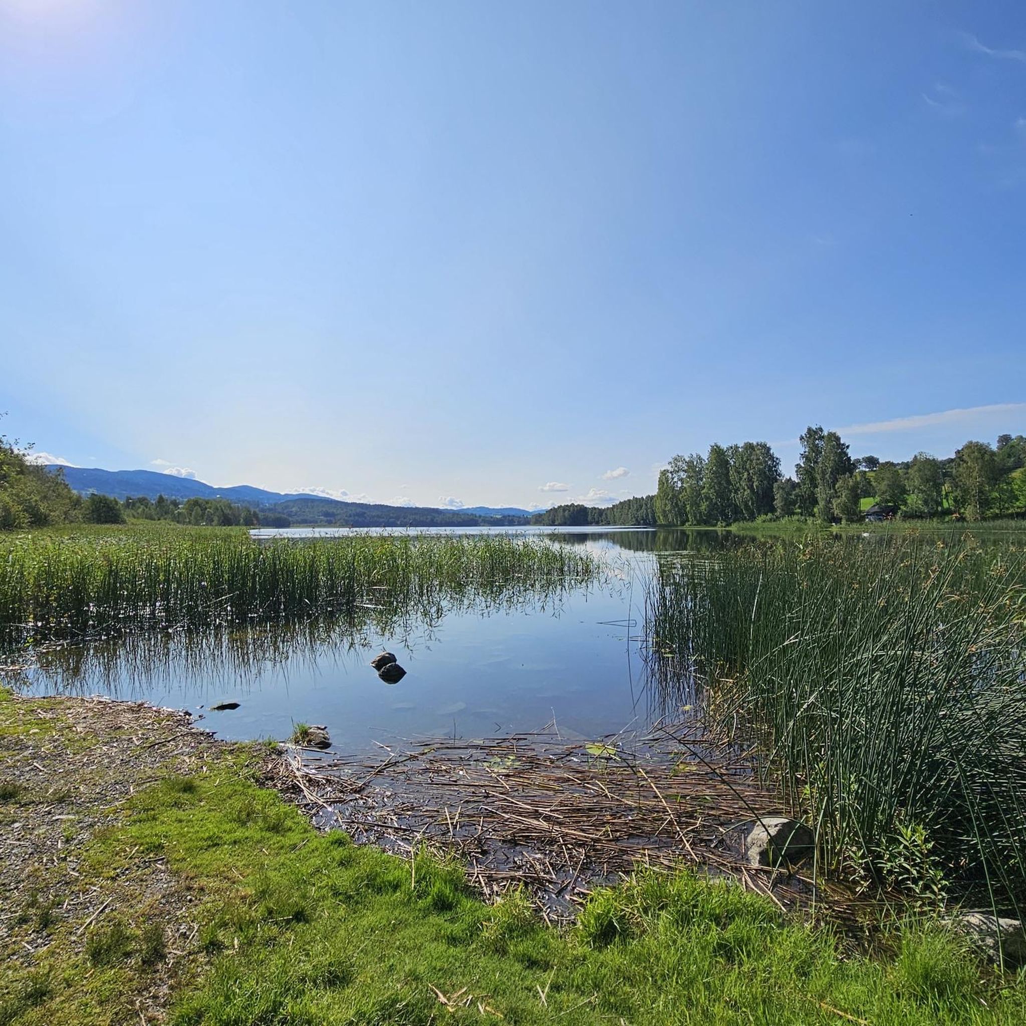
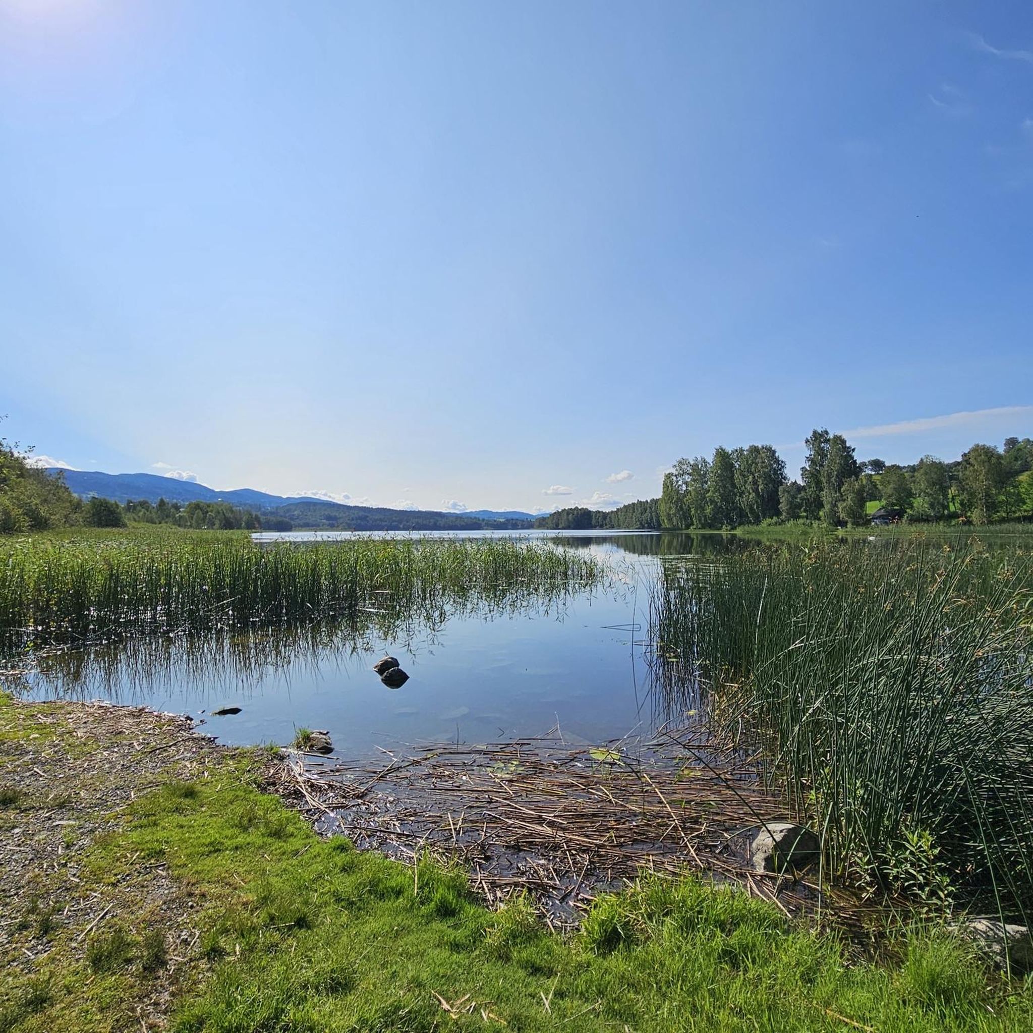
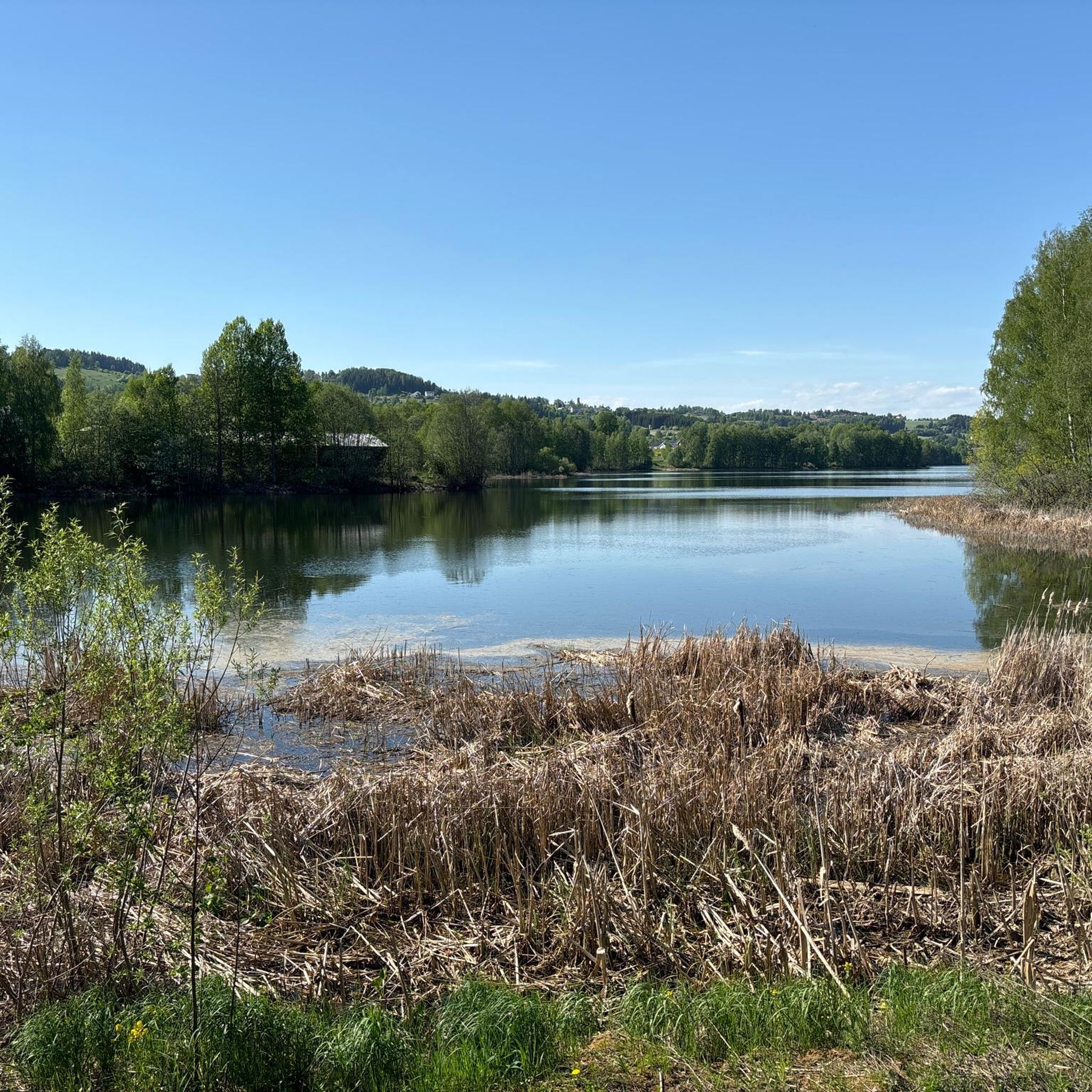
Mountain bike trails around Jarenvatnet are set in the Gran municipality of Hadeland, Norway, centered around the lake itself, which sits 201 meters above sea level. The region features diverse natural landscapes, including forested areas and varied terrain, with the southern half of Jarenvatnet designated as a nature reserve. This wetland area is important for its rich flora and birdlife, contributing to a unique environment for mountain biking. The trails traverse these varied landscapes, offering different technical challenges and experiences.
…Last updated: July 10, 2026
4.0
(1)
3
riders
50.0km
03:36
670m
670m
Moderate mountain bike ride. Good fitness required. Advanced riding skills necessary.
6
riders
28.4km
02:41
460m
460m
Moderate mountain bike ride. Good fitness required. Suitable for all skill levels.

Sign up for free
3.9
(9)
1
riders
25.6km
01:37
340m
340m
Moderate mountain bike ride. Good fitness required. Advanced riding skills necessary.
2
riders
10.1km
00:55
170m
160m
Moderate mountain bike ride. Great for any fitness level. Advanced riding skills necessary.
Our route recommendations are based on thousands of hikes, rides, and runs completed by other people on komoot.
Start today with a free account
Your next adventure awaits.
Login or Signup
Frequently Asked Questions
How many mountain bike trails are there around Jarenvatnet?
There are 4 mountain bike trails around Jarenvatnet, all rated as moderate difficulty. These routes offer diverse experiences through the region's natural landscapes.
What kind of terrain can I expect on the mountain bike trails around Jarenvatnet?
The trails around Jarenvatnet traverse varied landscapes, including forested areas and open views around the lake. The region is characterized by its central lake, surrounding woodlands, and a protected nature reserve, offering a mix of natural environments.
Are there any family-friendly mountain bike trails around Jarenvatnet?
All the mountain bike trails listed for Jarenvatnet are rated as moderate. While they offer diverse terrain, riders should assess their family's skill and fitness levels. For example, the Lygna – Knørraputten loop from Geitryggen is the shortest at 10.4 km, which might be a more manageable option for families with some riding experience.
What are the typical elevation gains on the mountain bike trails?
The elevation gains on the trails vary. For instance, the Korshaugen – Rundhaugen loop from Moen kirke has an elevation gain of approximately 669 meters over 50 km, while the Velofoss loop from Lunner involves about 342 meters of ascent over 25.6 km. These indicate moderate climbs suitable for experienced riders.
What natural features can I see while mountain biking around Jarenvatnet?
Jarenvatnet itself is a central feature, and the southern half of the lake is a designated nature reserve, important for its rich flora and birdlife. The northern part is also a significant 'kalksjø' (calcareous lake). You'll experience diverse natural beauty, including forested areas and wetland environments.
When is the best time of year for mountain biking in Jarenvatnet?
While specific seasonal details for mountain biking are not provided, the region's natural environment suggests that late spring, summer, and early autumn would offer the most favorable conditions. During these months, trails are typically clear of snow and ice, and the weather is generally milder.
Are there any loop routes available for mountain biking?
Yes, all the mountain bike trails listed for Jarenvatnet are loop routes. This allows riders to start and finish at the same point, offering convenient exploration of the area. Examples include the Fagerbakka – Spranglia loop from Skjellmyra and the Lygna – Knørraputten loop from Geitryggen.
What do other mountain bikers enjoy most about the trails in Jarenvatnet?
The mountain bike trails around Jarenvatnet are highly rated by the komoot community, with an average score of 3.9 stars. Riders often appreciate the varied terrain, the mix of forested sections and open views, and the opportunity to explore the diverse natural landscapes of the region.
Can I bring my dog on the mountain bike trails around Jarenvatnet?
While specific regulations for dogs on mountain bike trails are not detailed, the southern half of Jarenvatnet is a nature reserve. It's advisable to keep dogs on a leash, especially in protected areas, to protect wildlife and ensure a pleasant experience for all users. Always follow local signage regarding pet policies.
Is public transport available to reach the Jarenvatnet area?
Information on specific public transport routes directly to trailheads around Jarenvatnet is not readily available. It is generally recommended to check local bus or train schedules for services to Gran municipality or nearby towns, and plan for potential connections or a short ride to reach the starting points of the trails.
Are there any cafes or places to eat near the mountain bike trails?
The provided information does not specifically mention cafes or eateries directly adjacent to the mountain bike trails around Jarenvatnet. However, as Jarenvatnet is located in the Gran municipality, you would likely find amenities, including cafes and shops, in the main town of Gran or other nearby settlements.
Where can I park when visiting the Jarenvatnet mountain bike trails?
While specific parking locations for each trailhead are not detailed, it is common for trail access points in such regions to have designated parking areas. When planning your route, check the komoot tour details for specific starting points like 'Moen kirke' or 'Skjellmyra', as these often indicate areas where parking might be available.
Most popular routes around Jarenvatnet

Get inspired with the komoot mobile app


Explore more
Browse the best MTB trails in other regions.
