The best walks and hikes around Bjertnessjøen
4.9
(9)
45
hikers
7
hikes
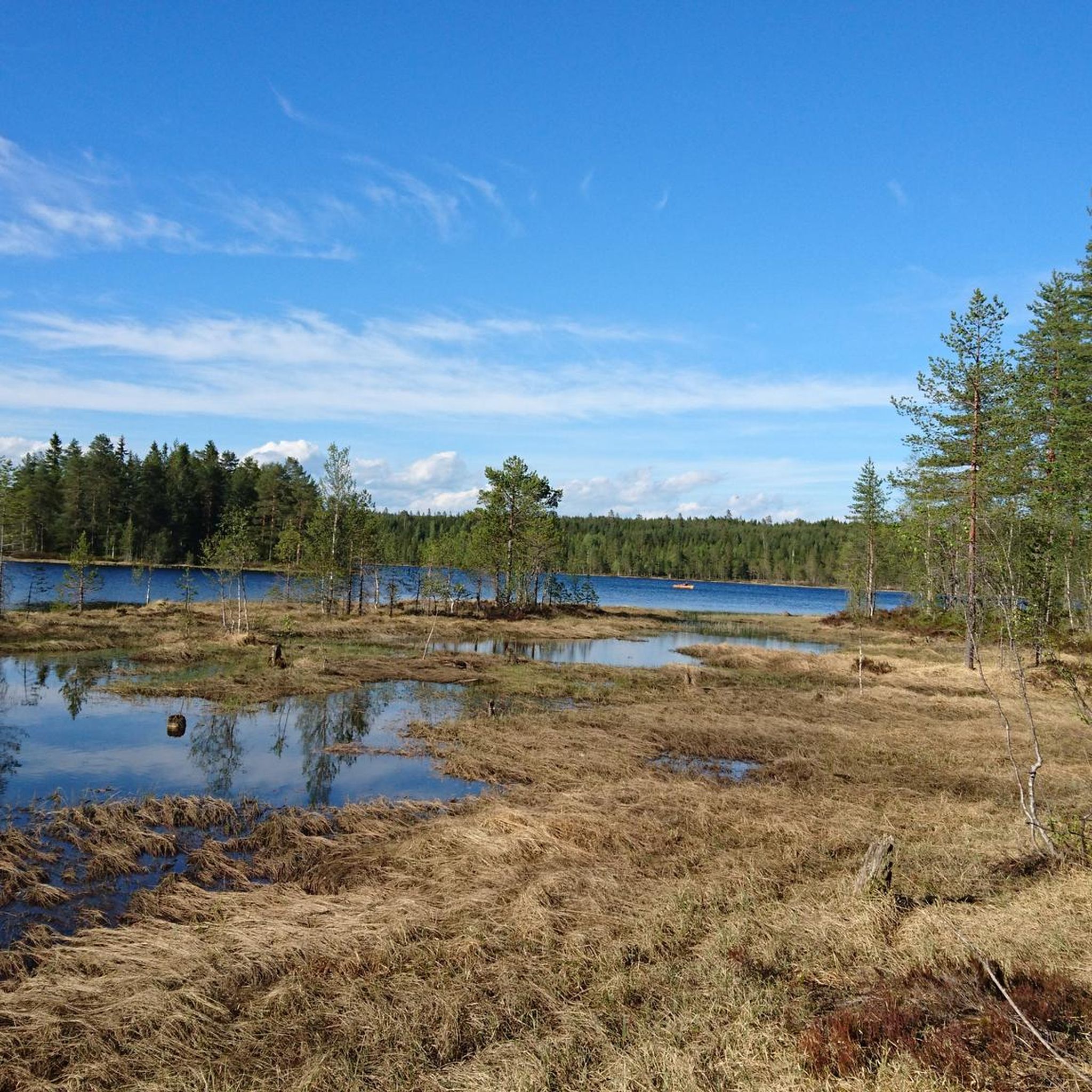
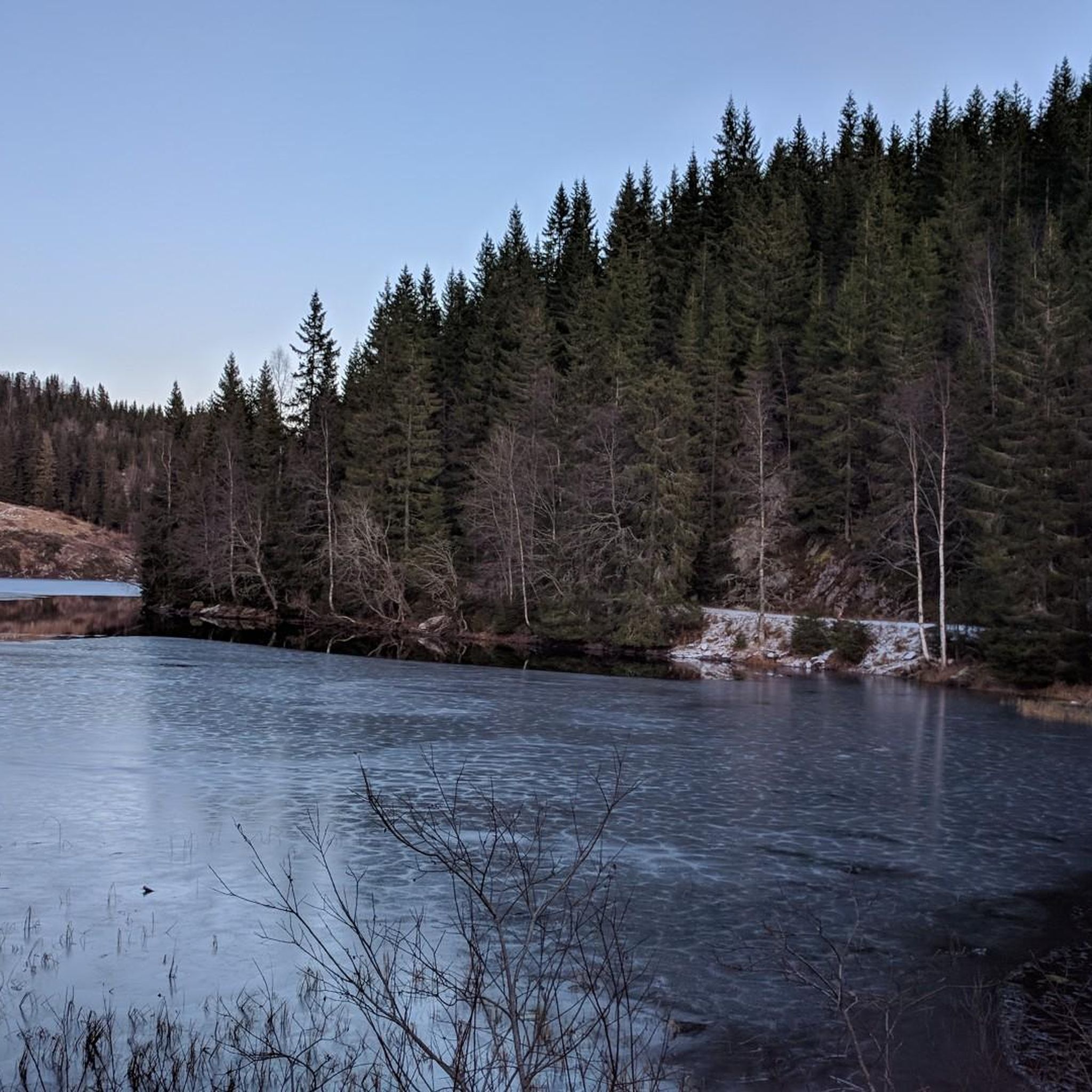
Hiking around Bjertnessjøen offers experiences within a preserved natural setting in the Nannestad municipality of Norway. The area is characterized by forested paths and open terrain, typical of Norway's diverse natural environments. As a regulated drinking water source, Bjertnessjøen and its surroundings are well-preserved, providing clean air and a tranquil environment. Hikers can expect serene landscapes and the opportunity to connect with nature.
Best hiking trails around Bjertnessjøen
- The most popular hiking route is Sørseterlia loop from Tøyenhaugen, a…
Last updated: June 27, 2026
2
hikers
9.86km
02:40
130m
130m
Moderate hike. Good fitness required. Easily-accessible paths. Suitable for all skill levels.
2
hikers
5.50km
01:29
70m
70m
Easy hike. Great for any fitness level. Easily-accessible paths. Suitable for all skill levels.

Sign up for free
3
hikers
5.85km
01:39
120m
120m
Easy hike. Great for any fitness level. Easily-accessible paths. Suitable for all skill levels.
5.0
(1)
14
hikers
6.08km
02:11
380m
380m
Moderate hike. Good fitness required. Easily-accessible paths. Suitable for all skill levels.
5.0
(1)
2
hikers
7.99km
02:46
430m
430m
Moderate hike. Good fitness required. Easily-accessible paths. Suitable for all skill levels.
Get access to more routes and recommendations from other explorers.
Sign up for free
Already have an account?
Our route recommendations are based on thousands of hikes, rides, and runs completed by other people on komoot.
Start today with a free account
Your next adventure awaits.
Login or Signup

Tips from the Community

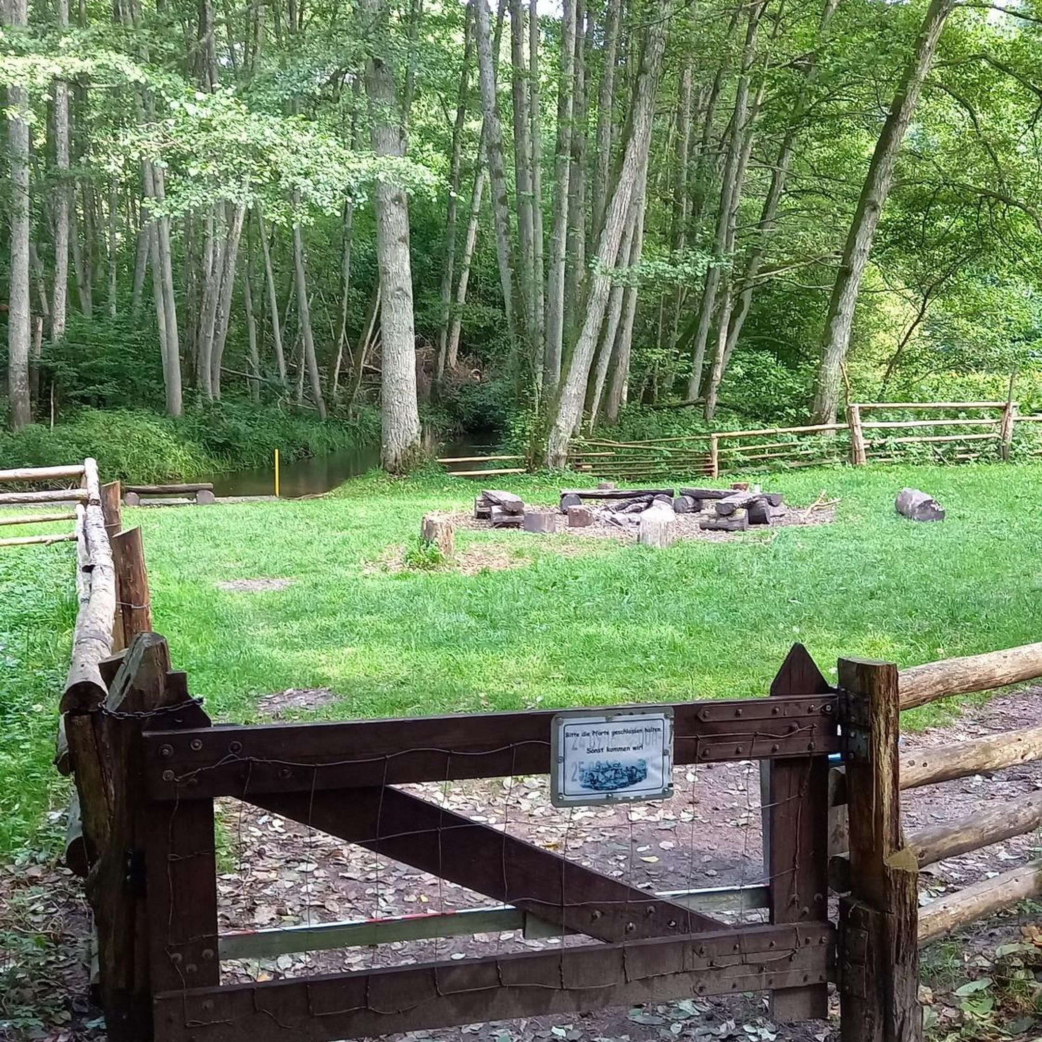
Råbjørnhytta is a cabin situated directly on the shores of Råbjørn lake. You'll find it following forest trails and it offers a pleasant place to pause during your tour. There is a public toilet available.
0
0
Frequently Asked Questions
What kind of terrain can I expect on hikes around Bjertnessjøen?
The hiking trails around Bjertnessjøen primarily feature a mix of forested paths and open terrain. As is typical for Norway's natural environments, you can expect diverse landscapes, including some ascents that may offer varied scenery. The area is well-preserved, providing a tranquil environment.
Are there any easy hiking trails suitable for beginners or families?
Yes, there are easy trails available. For instance, the Sørseterlia loop from Tøyenhaugen is an easy 5.5 km route that takes about 1 hour 29 minutes, offering a tranquil experience through local forests. Another easy option is the Joputthaugen – Råbjørnhytta loop from Fiskeløysa, which is 5.8 km and takes around 1 hour 38 minutes.
What is the best time of year to go hiking in Bjertnessjøen?
While specific seasonal details for Bjertnessjøen are limited, Norway's general hiking season typically runs from late spring through early autumn (May to September). During these months, trails are usually free of snow, and the weather is more favorable. Always check local conditions before heading out, especially in shoulder seasons.
Are there any circular hiking routes around Bjertnessjøen?
Yes, several circular routes are available. The Lilykkja – Bjertnesseterlia loop from Sjonken is a moderate 9.9 km path with diverse terrain. Another option is the Råbjørnhytta – Høgås loop from Fiskeløysa, a moderate 13.4 km trail.
What do other hikers say about the trails in Bjertnessjøen?
The routes in Bjertnessjøen are highly rated by the komoot community, with an average score of 5.0 stars from 6 reviews. Hikers often praise the serene landscapes, clean surroundings, and the opportunity to connect with nature in a well-preserved environment.
Can I bring my dog on the hiking trails around Bjertnessjøen?
While specific regulations for dogs on trails around Bjertnessjøen are not detailed, generally in Norway, dogs are permitted on hiking trails but must be kept on a leash, especially during certain times of the year (e.g., nesting season for birds, or when livestock are present). It's always best to check local signage or Nannestad municipality guidelines for any specific restrictions.
Are there any viewpoints or landmarks to look out for on the trails?
The region around Bjertnessjøen is known for its pristine nature and tranquil environment. While specific named landmarks are not widely publicized, the diverse terrain often includes ascents that can offer panoramic views of the surrounding forests and open landscapes. The lake itself, as a regulated drinking water source, provides a clean and scenic focal point.
What is the longest hiking trail available in the Bjertnessjøen area?
The longest trail listed is the Råbjørnhytta – Høgås loop from Fiskeløysa, which is a moderate 13.4 km route. This trail features varied scenery and takes approximately 3 hours 38 minutes to complete.
Is swimming or camping allowed in Bjertnessjøen?
No, Bjertnessjøen is a regulated drinking water source for the municipalities of Nannestad and Ullensaker. To maintain its pristine quality, activities like swimming and camping in the lake are prohibited.
How many hiking routes are there in total around Bjertnessjøen?
There are 6 hiking routes documented around Bjertnessjøen, offering a range of experiences from easy forest walks to more moderate trails with elevation gain.
What is the typical elevation gain on trails in this area?
The elevation gain on trails around Bjertnessjøen varies. For example, easy routes like the Sørseterlia loop from Tøyenhaugen have about 73 meters of elevation gain, while moderate trails such as the Lilykkja – Bjertnesseterlia loop from Sjonken can have around 131 meters of ascent.
Are there any trails that are particularly challenging?
Currently, the documented trails around Bjertnessjøen are categorized as either easy or moderate. There are no trails specifically rated as 'difficult,' making the area accessible for a wide range of hikers looking for enjoyable experiences without extreme challenges.
Most popular routes around Bjertnessjøen

Get inspired with the komoot mobile app


Explore more
Browse the best Hikes in other regions.
