The best road cycling routes around Avalsjøen
24
riders
2
rides
Road cycling around Avalsjøen offers routes through a tranquil lake environment and surrounding common lands. The area features varied terrain, including both paved and unpaved sections, catering to different cycling preferences. Routes often involve significant elevation gains, with some exceeding 1500 feet (450 meters). The region provides a natural setting for active exploration, characterized by its accessible routes and peaceful landscapes.
Best road cycling routes around Avalsjøen
- The most popular road cycling route is Kalvsjøtjernet – Stortjernet loop from Harestua…
Last updated: June 27, 2026
10
riders
83.9km
03:55
920m
920m
Hard road ride. Very good fitness required. Some segments of this route may be unpaved and difficult to ride.
7
riders
40.2km
02:08
640m
640m
Moderate road ride. Good fitness required. Some segments of this route may be unpaved and difficult to ride.

Sign up for free
3
riders
75.9km
03:48
1,090m
1,090m
Hard road ride. Very good fitness required. Some segments of this route may be unpaved and difficult to ride.
2
riders
69.3km
03:39
1,130m
1,130m
Hard road ride. Very good fitness required. Some segments of this route may be unpaved and difficult to ride.
2
riders
55.6km
03:12
890m
890m
Moderate road ride. Good fitness required. Some segments of this route may be unpaved and difficult to ride.
Our route recommendations are based on thousands of hikes, rides, and runs completed by other people on komoot.
Start today with a free account
Your next adventure awaits.
Login or Signup
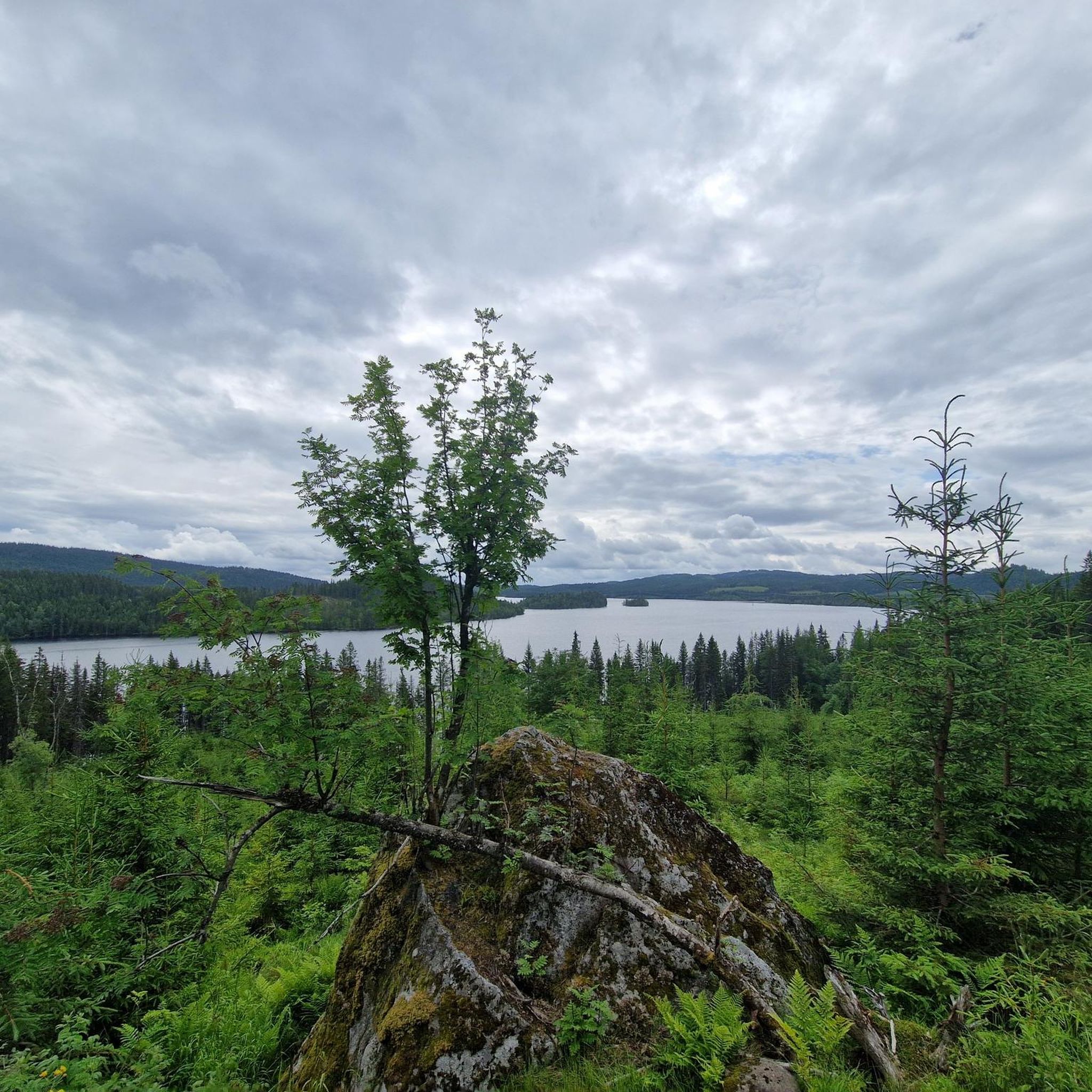
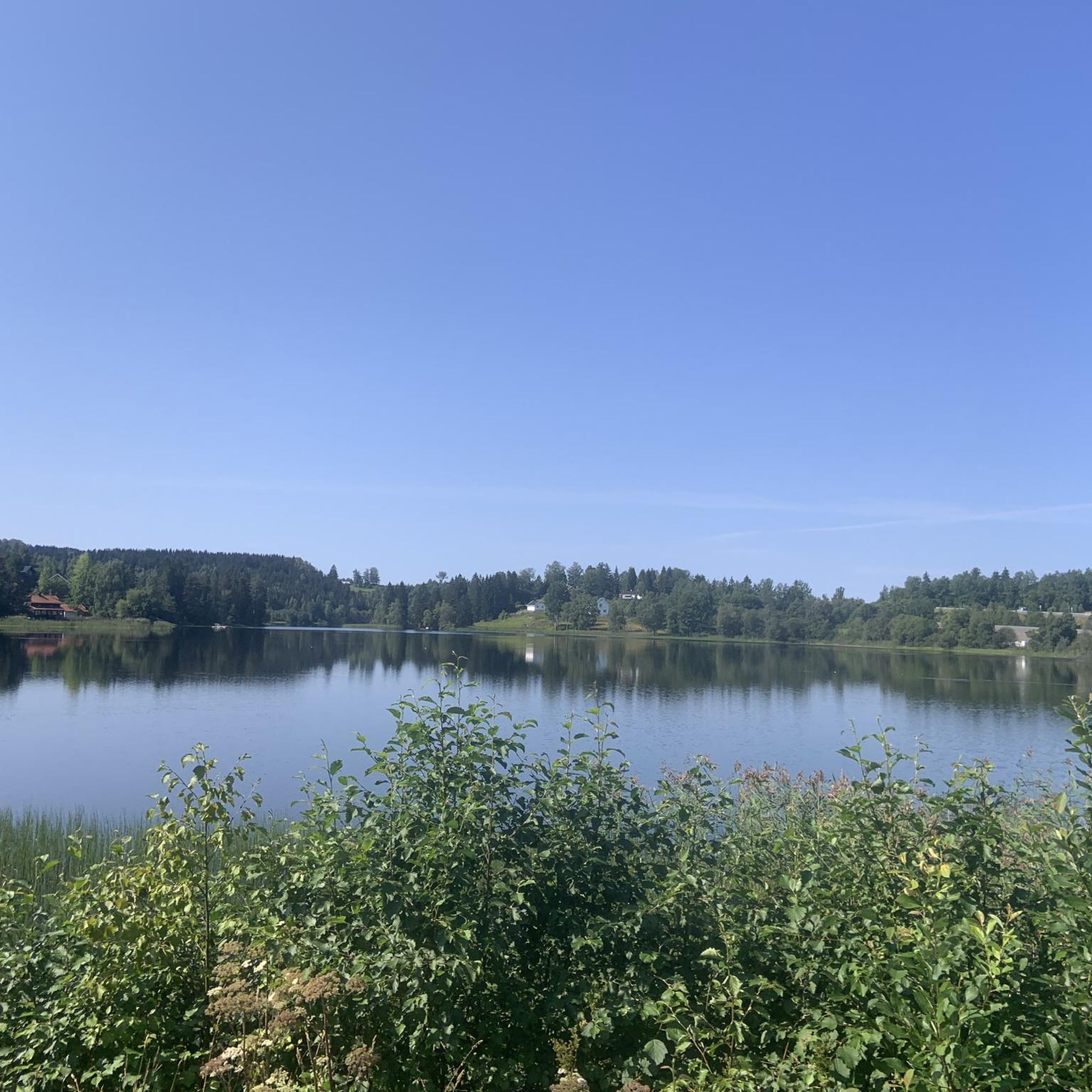
Tips from the Community

Fun gravel section downhill, but keep aware of traffic if need be :)
0
0


Frequently Asked Questions
What kind of terrain can I expect on road cycling routes near Avalsjøen?
The routes around Avalsjøen offer varied terrain. While many sections are predominantly paved and suitable for road bikes, some segments may include unpaved surfaces. This mix provides options for both smooth road tours and more adventurous rides, often involving significant elevation gains.
How many road cycling routes are available around Avalsjøen?
There are several road cycling routes available around Avalsjøen, with komoot featuring over 20 routes in the area. These routes cater to various preferences, from moderate to difficult, with options for different distances and elevation profiles.
What is the best time of year to go road cycling around Avalsjøen?
The region around Avalsjøen is best enjoyed for road cycling during the warmer months when roads are clear of snow and ice. This allows for optimal conditions to experience the tranquil lake environment and surrounding common lands.
Are there routes suitable for beginners or families?
While many routes around Avalsjøen involve notable elevation changes and can be challenging, there are options that cater to different fitness levels. For those seeking a shorter, moderate ride, the Elgsjøen – Grønntjernet loop from Harestua is a good choice, offering a 24.4-mile path with significant elevation but a more manageable distance.
Are there challenging routes for experienced road cyclists?
Yes, experienced road cyclists will find challenging routes around Avalsjøen. For instance, the Sverigetjernet – Kjevlingen loop from Harestua is a difficult 46.0-mile trail with over 1000 meters of elevation gain. Another demanding option is the Kalvsjøtjernet – Stortjernet loop from Grua, which covers 68.2 miles with over 1000 meters of ascent.
Where can I park when road cycling around Avalsjøen?
Specific parking locations are not detailed in the route descriptions, but routes often start from accessible points like Harestua or Grua, which typically offer parking facilities for outdoor activities. It is advisable to check the starting point of your chosen route for local parking options.
Are there any circular road cycling routes around Avalsjøen?
Yes, many of the road cycling routes around Avalsjøen are designed as loops, allowing you to start and end at the same point. Examples include the Kalvsjøtjernet – Stortjernet loop from Harestua and the Brattfossen – Svenskesletta loop from Stokke.
Can I find places to eat or drink along the routes?
While specific cafes or pubs directly on the routes are not detailed, the starting points of many routes, such as Harestua, are likely to offer amenities. It's recommended to carry sufficient water and snacks, especially on longer rides, as the routes often pass through tranquil natural areas.
What natural features or viewpoints can I expect to see while cycling?
Road cycling around Avalsjøen offers views of the tranquil lake itself and the surrounding common lands (Lunner allmenning and Gran allmenning). Routes often pass by several smaller lakes and through scenic, relatively undisturbed natural settings, providing a picturesque backdrop for your ride.
Are there opportunities for other outdoor activities besides road cycling?
Yes, the Avalsjøen area is rich in outdoor activities. Besides road cycling, you can enjoy hiking, mountain biking, and trail running. The lake itself is popular for swimming, fishing, and camping, particularly on the spit of land where the Aklangselva river flows into Avalsjøen.
What is the typical duration and elevation gain for road cycling routes in the area?
Road cycling routes around Avalsjøen vary in duration and elevation. You can expect rides lasting from around 2 to 5 hours, with significant elevation gains. For example, the Kalvsjøtjernet – Stortjernet loop from Harestua is a 50.8-mile route taking nearly 4 hours with over 870 meters of elevation gain, while the Sverigetjernet – Kjevlingen loop from Harestua is a 46.0-mile trail with over 1000 meters of ascent.
How do the routes around Avalsjøen cater to different fitness levels?
The routes around Avalsjøen are categorized by difficulty, ranging from moderate to difficult. This allows cyclists to choose paths that match their fitness and experience. Moderate routes, like the Elgsjøen – Grønntjernet loop from Harestua, offer a good challenge without being overly strenuous, while difficult routes provide significant climbs and longer distances for advanced riders.

Get inspired with the komoot mobile app


Explore more
Browse the best Road cycling routes in other regions.
