The best cycling routes around Ottsjön
27
riders
6
rides
Touring cycling around Ottsjön offers routes through a landscape characterized by forests, hills, and proximity to Lake Ottsjön. The region features varied terrain, including both gentle paths and more challenging ascents, with an average elevation of 568 meters. Cyclists can expect to encounter a mix of wooded areas and open views, often providing scenic perspectives of the Jämtland region and surrounding mountain ranges. The area's diverse topography includes ancient woodlands and expansive vistas, contributing to varied cycling gradients.
Best touring…
Last updated: May 20, 2026
5
riders
27.1km
02:18
220m
220m
Hard bike ride. Good fitness required. You may need to push your bike for some segments of this route.
3
riders
8.16km
00:59
370m
370m
Moderate bike ride. Good fitness required. Mostly paved surfaces. Suitable for all skill levels.

Sign up for free
5
riders
88.5km
06:53
680m
680m
Hard bike ride. Very good fitness required. Mostly paved surfaces. Suitable for all skill levels.
6
riders
52.5km
03:24
570m
570m
Hard bike ride. Very good fitness required. Mostly paved surfaces. Suitable for all skill levels.
6
riders
77.7km
04:53
740m
740m
Hard bike ride. Very good fitness required. Mostly paved surfaces. Suitable for all skill levels.
Our route recommendations are based on thousands of hikes, rides, and runs completed by other people on komoot.
Start today with a free account
Your next adventure awaits.
Login or Signup
Popular around Ottsjön
Tips from the Community

Vålådalen Mountain Station sits at the edge of the nature reserve where the high terrain gives way to forest and valley — a warm, well-equipped base with accommodation, restaurant, and bus connections onward to Undersåker and the train line.
0
0

Välliste is a 1,025-meter-high peak in the Jämtland county. At the top, there's a small cabin, and on a clear day, the view extends all the way to Norway.
1
0

The 1,025m (3,362 ft) peak offers commanding 360-degree views and has a shelter, ideal for escaping from the elements.
0
1

The central square of the town of 3,000 inhabitants is Åre torg. It is surrounded by hotels, restaurants, discos and shops. This is where locals and hordes of holidaymakers come together to enjoy the attractions of this ski resort, one of Sweden's oldest and most important.
15
0

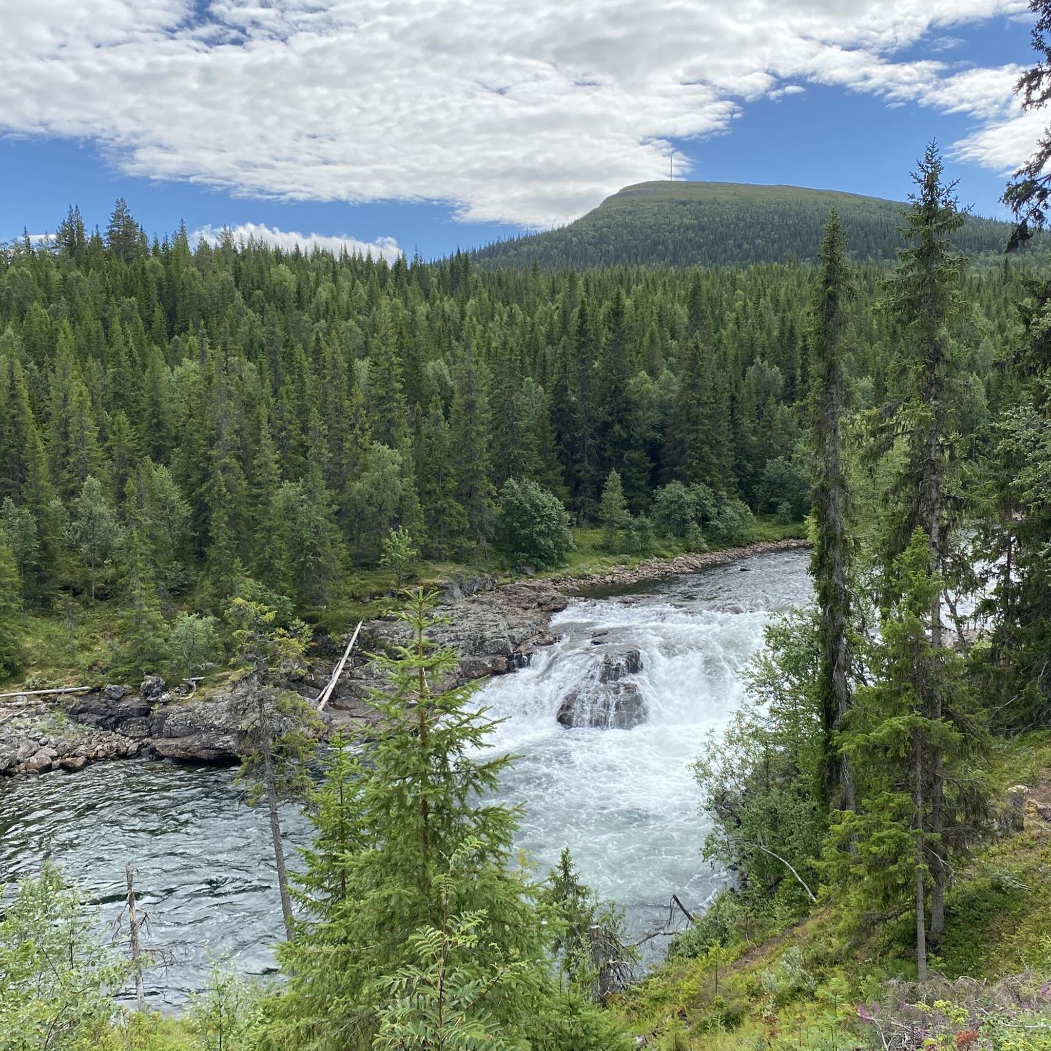
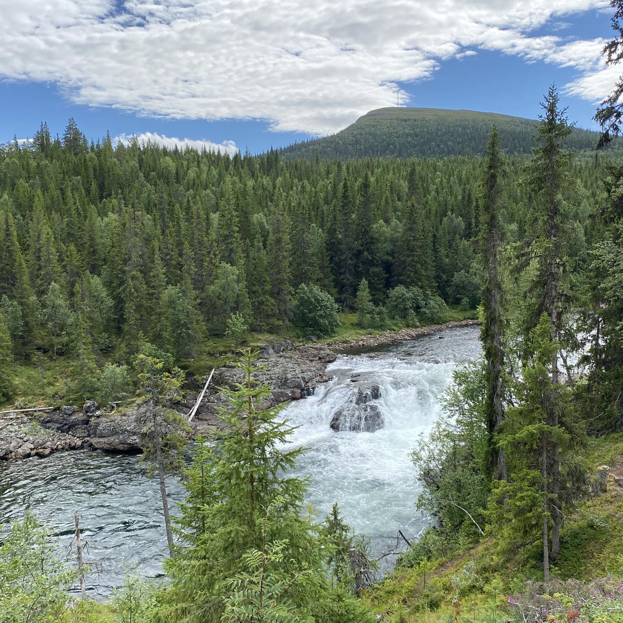
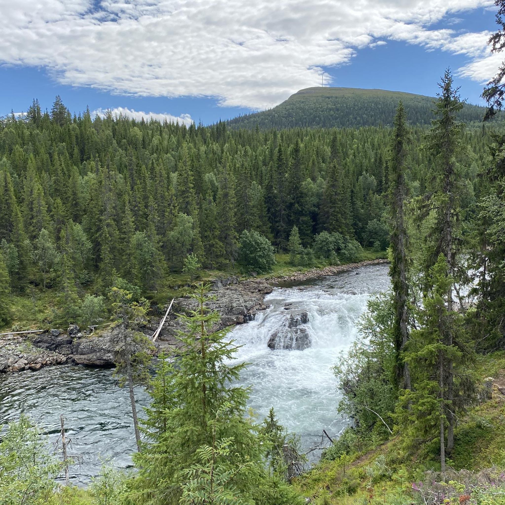
Impressive suspension bridge over the Vålån river.
1
0
Frequently Asked Questions
What kind of terrain can I expect when touring cycling around Ottsjön?
The Ottsjön region offers a varied landscape characterized by forests, rolling hills, and scenic views of the lake. You'll encounter a mix of wooded areas and open vistas, with routes often providing classic perspectives of the Jämtland region. Expect both gentle paths and more challenging ascents.
Are there any easy or moderate touring cycling routes suitable for beginners in Ottsjön?
While many routes in the area are considered difficult, there is at least one moderate option available. The Välliste Summit loop from Trillevallen is a moderate 8.2 km (5.1 miles) trail that can be completed in under an hour, offering a good option for those looking for a less strenuous ride.
Where can I find challenging touring cycling routes in Ottsjön?
Ottsjön is well-suited for experienced touring cyclists, with several difficult routes. For a significant challenge, consider the Shelter with Fire Pit loop from Vålådalen, which spans nearly 88.5 km (55 miles) and features substantial elevation changes. Another demanding option is the Välliste Summit loop from Trillevallen, known for its panoramic vistas and considerable ascent.
Are there any circular touring cycling routes around Ottsjön?
Yes, many of the touring cycling routes in the Ottsjön area are designed as loops. For example, the popular Shelter with Fire Pit loop from Ottsjön (damm) is a 27.1 km (16.9 miles) circular trail that navigates through forested areas. The Välliste Summit loop from Trillevallen is another circular option.
What is the best time of year for touring cycling in Ottsjön?
The best time for touring cycling around Ottsjön is typically during the warmer months, from late spring through early autumn. During this period, the trails are generally free of snow and ice, and the weather is more conducive to cycling, allowing you to fully enjoy the forested paths and lake views.
Are there any long-distance touring cycling routes available?
Yes, for those seeking longer rides, the Shelter with Fire Pit loop from Vålådalen is a substantial route covering approximately 88.5 km (55 miles). Another extended option is the Shelter with Fire Pit loop from Undersåker, which is about 52.5 km (32.6 miles) long.
What kind of views can I expect on the touring cycling routes?
The routes often provide scenic perspectives of the Jämtland region, including views of Ottsjön itself. Many trails pass through dense forested areas, offering a tranquil experience, while others ascend to higher points like Välliste Summit, providing panoramic vistas of the surrounding landscape.
How many touring cycling routes are available in the Ottsjön area?
There are several touring cycling routes around Ottsjön, with komoot featuring 6 distinct options. These routes cater to various skill levels, though the majority are rated as difficult.
What makes the touring cycling in Ottsjön unique?
Touring cycling in Ottsjön is defined by its diverse natural environment, combining forested paths, significant elevation changes, and picturesque lake views. The region offers a genuine outdoor experience, allowing cyclists to immerse themselves in the tranquil Jämtland landscape.
Are there any specific points of interest or landmarks along the touring cycling routes?
While specific landmarks are not detailed for these routes, the region itself is known for its natural beauty. Many routes are named after features like 'Shelter with Fire Pit' or lead towards 'Välliste Summit,' indicating points of interest within the natural landscape that offer opportunities for rest or scenic overlooks.
Is it possible to find routes that offer a mix of forest and open views?
Yes, the touring cycling routes around Ottsjön are characterized by a blend of environments. You will frequently find yourself cycling through dense forested areas, which then open up to provide expansive views of the surrounding natural landscape and the lake, offering a dynamic and engaging ride.

Get inspired with the komoot mobile app


Explore more
Browse the best Cycling routes in other regions.
