The best road cycling routes around Kirnberg an der Mank
4.6
(77)
2,734
riders
171
rides
Road cycling around Kirnberg an der Mank features a landscape characterized by rolling hills and varied terrain, offering routes that traverse both open countryside and more challenging ascents. The region provides a mix of elevation changes suitable for different fitness levels, with routes often winding through rural settings. Road cyclists can expect well-maintained roads connecting small towns and villages, providing a consistent surface for cycling. The area's geography supports both shorter, flatter rides and longer, more demanding routes with significant…
Last updated: July 5, 2026
54
riders
75.5km
03:53
1,270m
1,270m
Hard road ride. Very good fitness required. Mostly well-paved surfaces and easy to ride.
20
riders
36.2km
01:32
210m
210m
Easy road ride. Great for any fitness level. Mostly well-paved surfaces and easy to ride.

Sign up for free
5.0
(1)
22
riders
Easy road ride. Great for any fitness level. Mostly well-paved surfaces and easy to ride.
3.0
(1)
13
riders
Easy road ride. Great for any fitness level. Mostly well-paved surfaces and easy to ride.
7
riders
52.3km
02:27
560m
560m
Moderate road ride. Good fitness required. Some segments of this route may be unpaved and difficult to ride.
Get access to more routes and recommendations from other explorers.
Sign up for free
Already have an account?
Our route recommendations are based on thousands of hikes, rides, and runs completed by other people on komoot.
Start today with a free account
Your next adventure awaits.
Login or Signup
Tips from the Community

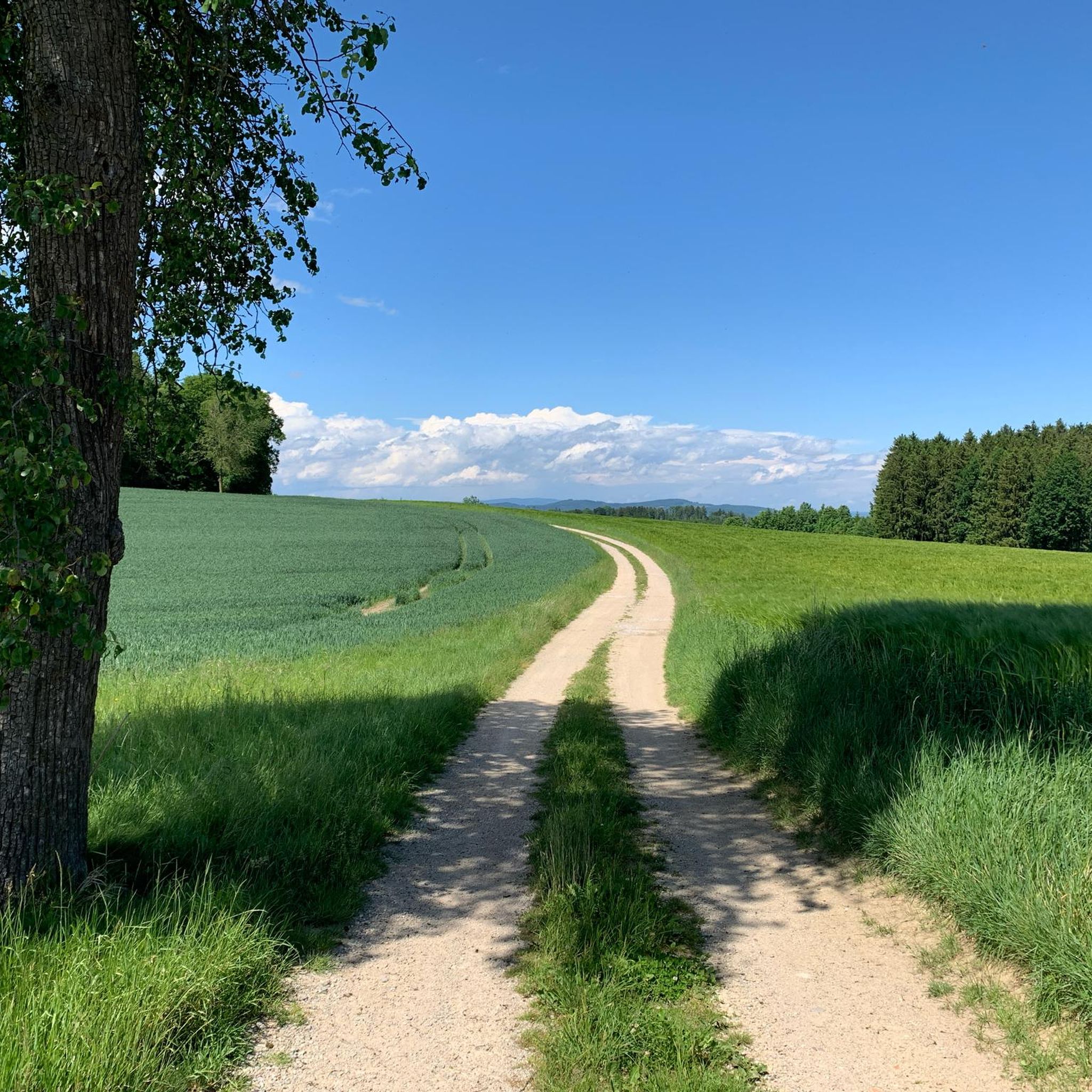
Great view into the Mostviertel towards Ötscher
0
0

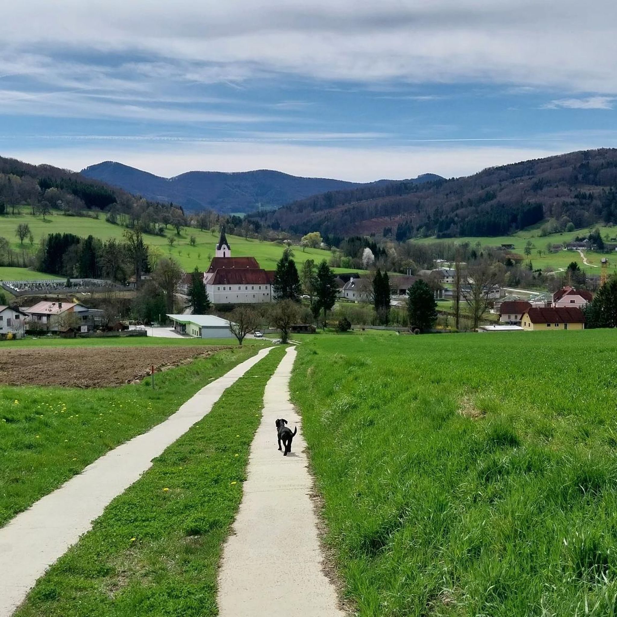
beautiful connection from Kirchberg to the north
0
0

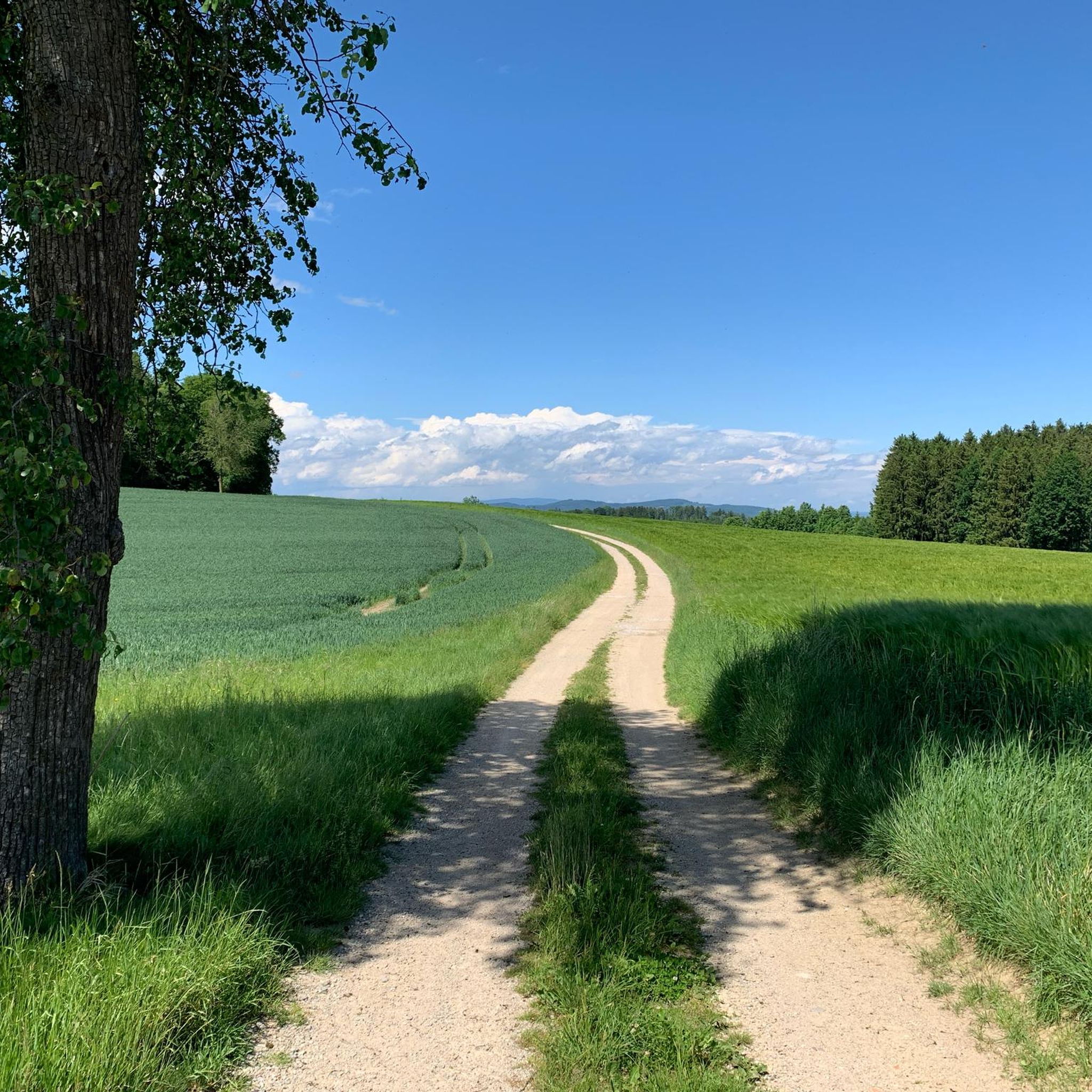
The area is very nice for cycling.
0
0
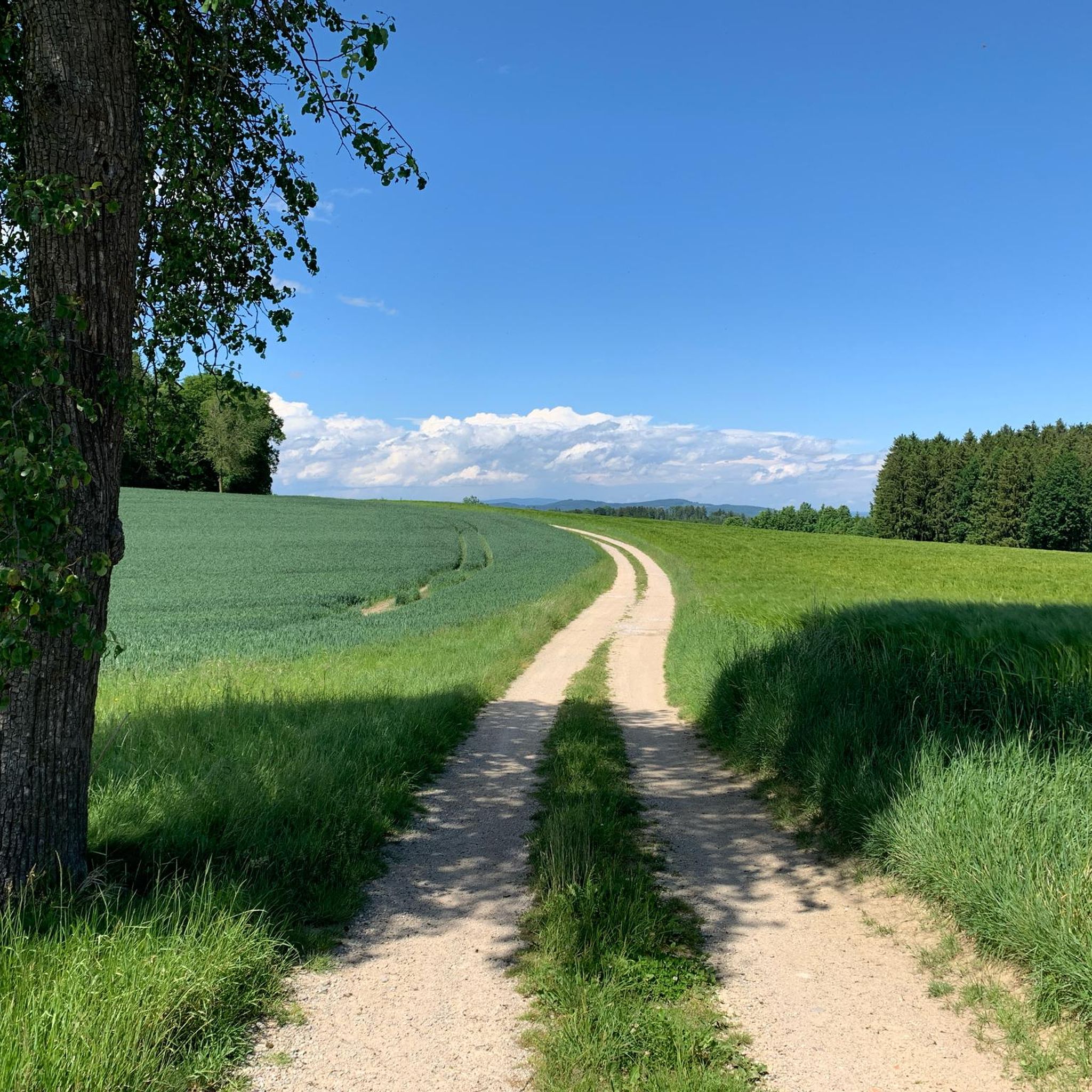
The area is very nice for cycling.
0
0

Unfortunately, it's privately owned and not open to the public. A few years ago, I wrote a blacksmithing report on the impressive window grilles and had access to the entire site for a day. It's a shame that some of the castles aren't accessible.
2
0


Strannersdorf Castle is located west of Mank in the Mostviertel region. A castle was first mentioned on this site in the mid-14th century. In the 15th century, the Lords of Walsee built a new fortress on the site after losing their ancestral castle. At the beginning of the 16th century, the Steinberger family took over the fortifications and transformed them into the castle it houses today. The striking neo-Baroque façade with its characteristic spire was created during extensive modernization in 1888/89. For a tour to Strannersdorf Castle, there are numerous cycling paths in the area. The region around Mank offers scenic routes suitable for both recreational and competitive cyclists.
2
0

There are beautiful things here, right next to the Melker Alpine Foreland Cycle Path.
0
0
Frequently Asked Questions
How many road cycling routes are available around Kirnberg an der Mank?
The region offers over 170 road cycling routes, catering to various skill levels. You'll find 42 easy routes, 105 moderate, and 31 difficult options, ensuring there's a ride for every experience level.
Are there road cycling routes suitable for beginners in Kirnberg an der Mank?
Yes, Kirnberg an der Mank has several beginner-friendly options. An easy route is the Thalmühle – Parish Church of Mank loop from Kirnberg an der Mank, which is 22.3 miles (35.9 km) long and offers a relaxed ride through the local area.
Where can I find challenging road bike climbs around Kirnberg an der Mank?
For advanced cyclists seeking significant elevation gain, the Luftberg South Ascent – Luftberg Pass loop from Kirnberg an der Mank is a difficult 45.9 miles (73.9 km) route featuring over 1200 meters of ascent, providing a demanding experience.
Are there any circular road cycling routes in the area?
Yes, many routes around Kirnberg an der Mank are designed as loops. For example, the Scheibbs – Rolling Hills loop from Kirnberg an der Mank is a moderate 32.5 miles (52.3 km) route that takes you through varied countryside and returns to your starting point.
What kind of scenery can I expect on road cycling routes in Kirnberg an der Mank?
Road cycling around Kirnberg an der Mank is characterized by rolling hills and varied terrain, traversing both open countryside and more challenging ascents. You'll often find routes winding through rural settings, connecting small towns and villages.
What do other road cyclists enjoy most about road cycling in Kirnberg an der Mank?
The area is highly rated by the komoot community, with an average score of 4.6 stars from over 60 reviews. Cyclists often praise the well-maintained roads, the mix of elevation changes suitable for different fitness levels, and the scenic rural landscapes.
Are there any interesting landmarks or viewpoints along the road cycling routes?
While cycling, you can explore nearby attractions. Consider visiting viewpoints like Urlingerwarte on Blassenstein or Bichlberg Shelter and Viewpoint for panoramic views. The region also features natural wonders like the Erlauf Gorge.
What is a good moderate-difficulty route for road cycling?
A popular moderate route is the Pulverturm – Strannersdorf Castle loop from Kirnberg an der Mank. This route covers 24.5 miles (39.4 km) with over 500 meters of elevation gain, offering a balanced challenge.
What is the best time of year for road cycling in Kirnberg an der Mank?
The region's rolling hills and open countryside are generally best enjoyed from spring through autumn. These seasons offer pleasant temperatures and optimal road conditions for cycling. Winter cycling might be possible but can be affected by snow and ice, especially on higher elevations.
Are there any shorter road cycling routes for a quick ride?
Yes, for a quicker ride, consider the Gartling Hill Road – Stadler Bicycle Workshop loop from Katastralgemeinde Wolkersdorf. This route is 10.8 miles (17.4 km) long and can typically be completed in under an hour, offering a varied countryside experience.
What are the road conditions like after rain in Kirnberg an der Mank?
The roads around Kirnberg an der Mank are generally well-maintained. After rain, surfaces can be wet, and some debris might wash onto the roads, especially on less-trafficked rural sections. Always exercise caution and adjust your speed accordingly.
Are there opportunities to stop for refreshments or coffee along the routes?
Many routes in Kirnberg an der Mank pass through or near small towns and villages, where you can often find local cafes or inns. Planning your route with komoot allows you to identify potential stops for refreshments along the way.
Most popular routes around Kirnberg an der Mank
Most popular attractions around Kirnberg an der Mank

Get inspired with the komoot mobile app


Explore more
Browse the best Road cycling routes in other regions.
