Easy hikes and walks around Balne
4.2
(70)
677
hikers
77
hikes
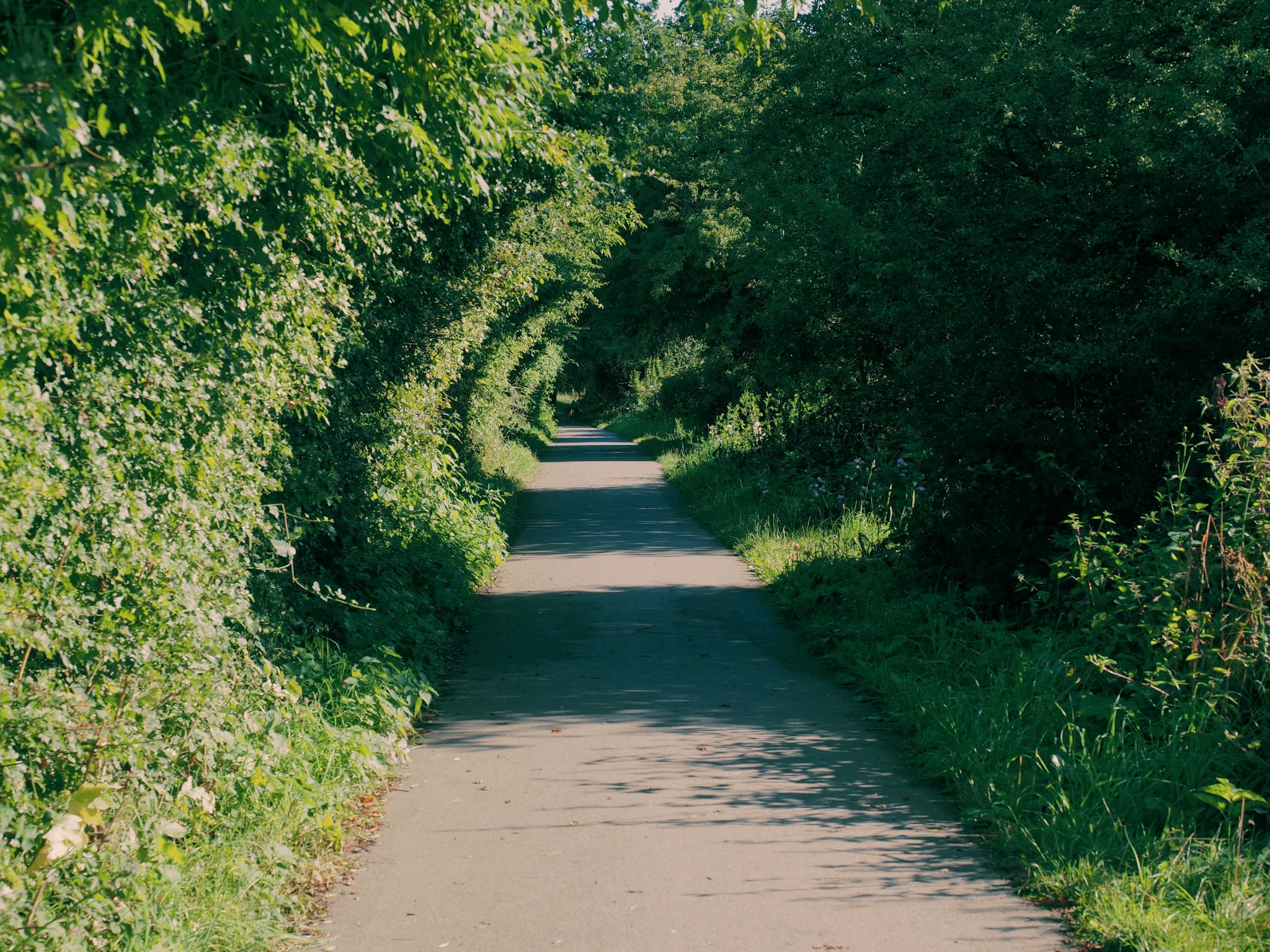
Easy hiking trails around Balne are characterized by flat agricultural plains and tranquil waterside paths, making them accessible for various fitness levels. The terrain primarily consists of gentle walks alongside the River Went and the Aire and Calder Navigation Canal. This topography provides a serene environment for hikers seeking easy routes through open countryside.
Best easy hiking trails around Balne
- The most popular easy hiking route is Snaith Priory Church – St Laurence Church, Snaith loop from Snaith, a 4.2 miles (6.8 km) trail that takes 1 hour 44 minutes to complete, featuring local historical landmarks.
- Another top favourite among local hikers is River Went – Aire and Calder Navigation loop from Pollington, an easy 4.7 miles (7.5 km) path meandering along tranquil waterways and through open fields.
- Local hikers also love the Aire and Calder Navigation loop from Pollington, a 2.1 miles (3.3 km) trail leading through flat agricultural plains, often completed in about 50 minutes.
- Hiking around Balne is defined by flat agricultural plains, riverside paths, and canals. The network offers options for different ability levels, with a focus on easy walking routes.
- The routes in Balne are highly rated by the komoot community with an average score of 4.4 stars from over 60 reviews. More than 600 hikers have used komoot to explore Balne's varied terrain.
Last updated: May 19, 2026
5.0
(1)
23
hikers
Easy hike. Great for any fitness level. Easily-accessible paths. Suitable for all skill levels.
8
hikers
7.04km
01:47
10m
10m
Easy hike. Great for any fitness level. Easily-accessible paths. Suitable for all skill levels.

Sign up for free
5
hikers
7.56km
01:54
10m
10m
Easy hike. Great for any fitness level. Easily-accessible paths. Suitable for all skill levels.
9
hikers
3.33km
00:50
0m
0m
Easy hike. Great for any fitness level. Easily-accessible paths. Suitable for all skill levels.
4.0
(1)
9
hikers
Easy hike. Great for any fitness level. Easily-accessible paths. Suitable for all skill levels.
Get access to more routes and recommendations from other explorers.
Sign up for free
Already have an account?
Our route recommendations are based on thousands of hikes, rides, and runs completed by other people on komoot.
Start today with a free account
Your next adventure awaits.
Login or Signup
Popular around Balne
Other adventures around Balne

Tips from the Community


Long established and fiercely independent brewery in Snaith. https://oldmillinns.co.uk/
3
0
The River Went is a river in Yorkshire, England. It rises close to Featherstone and flows eastward, joining the River Don at Reedholme Common. https://en.m.wikipedia.org/wiki/River_Went
1
0
Beautiful canal, right on the Trans Pennine Trail https://en.m.wikipedia.org/wiki/Aire_and_Calder_Navigation
1
0
Snaith Priory was a Benedictine priory in Snaith, within the East Riding of Yorkshire, England. The priory was located at the Church of St Lawrence in Snaith, which has been a Grade I listed building since 1967.[1] It was founded shortly after 1101, and dissolved in 1539. https://en.m.wikipedia.org/wiki/Snaith_Priory
2
0

An ancient market town that is still thriving today, dominated by its Priory Church which dates back to Anglo-Saxon times. An ideal place to grab a hot meal in any of its pubs and cafes, or visit the local brewery.
1
0

Impossible to continue walk as river in flood!
0
0

Brockadale Nature Reserve, nestled in West Yorkshire, is a haven for nature enthusiasts. Its rich biodiversity includes ancient woodlands, wildflower meadows, and pristine wetlands. Please note that access and regulations may change, so it's essential to check the most recent information before visiting.
1
0
Frequently Asked Questions
How many easy hiking trails are available around Balne?
Balne offers a wide selection of easy hiking trails, with over 50 routes specifically categorized as easy. These paths are designed for various fitness levels, providing accessible options through the region's flat agricultural plains and tranquil waterside areas.
What is the typical terrain like on easy hikes in Balne?
The easy hiking trails around Balne are characterized by their flat agricultural plains and serene waterside paths. You'll primarily find gentle walks alongside the River Went and the Aire and Calder Navigation Canal, offering a peaceful environment through open countryside.
Are there any circular easy walks in Balne?
Yes, Balne features several excellent circular easy walks. A popular option is the River Went – Aire and Calder Navigation loop from Pollington, which is 4.7 miles (7.5 km) and meanders along tranquil waterways. Another shorter circular route is the Aire and Calder Navigation loop from Pollington, a 2.1-mile (3.3 km) trail through flat agricultural plains.
What natural features can I expect to see on easy walks around Balne?
Easy walks in Balne often feature the picturesque banks of the River Went and the Aire and Calder Navigation Canal. You can also explore areas like Brockadale Nature Reserve, which offers a chance to experience local wildlife and natural beauty.
Are the easy trails in Balne suitable for families with children?
Yes, the flat and gentle nature of Balne's easy trails makes them highly suitable for families with children. The absence of significant elevation gain and the presence of waterside paths provide a safe and enjoyable environment for all ages. Routes like the Aire and Calder Navigation loop from Pollington are particularly good for shorter outings.
Are dogs allowed on the easy hiking trails in Balne?
Many of the easy hiking trails around Balne are dog-friendly, especially those through open fields and along canal paths. It's always recommended to keep dogs on a lead, particularly near livestock or in nature reserve areas, to protect wildlife and ensure a pleasant experience for everyone.
What do other hikers enjoy most about easy hikes in Balne?
The easy hikes in Balne are highly regarded by the komoot community, with an average rating of 4.4 stars from over 60 reviews. Hikers frequently praise the tranquil waterside paths, the serene environment of the flat agricultural plains, and the accessibility of the routes for all ability levels.
Are there any historical landmarks or points of interest along easy trails?
Yes, some easy trails incorporate local historical landmarks. For instance, the Snaith Priory Church – St Laurence Church, Snaith loop from Snaith features local historical sites. You might also encounter structures like the Ferrybridge Old Bridge on routes in the wider area.
What is the best time of year to go hiking in Balne?
Balne's easy trails are enjoyable throughout much of the year due to their flat terrain. Spring and summer offer pleasant weather for waterside strolls and open field walks, while autumn provides beautiful scenery. Even in winter, the paths remain accessible, though appropriate footwear for potentially muddy conditions is advisable.
Where can I find parking for easy hikes near Balne?
Parking is generally available in or near the villages that serve as starting points for many of Balne's easy hikes, such as Pollington and Snaith. Specific parking details can often be found on individual route pages or local village information boards.
Can I access Balne's easy hiking trails using public transport?
While Balne itself is a small village, nearby towns and villages like Snaith and Pollington, which are common starting points for these easy hikes, may have public transport links. It's advisable to check local bus schedules for connections to these areas to access the trailheads.
Are there any cafes or pubs near the easy hiking trails in Balne?
Yes, you can find amenities like cafes and pubs in the villages surrounding Balne, such as Pollington and Snaith. These establishments offer convenient spots for refreshments before or after your hike. For example, Birkin Tea Room is a nearby option.
Most popular routes around Balne
Most popular attractions around Balne

Get inspired with the komoot mobile app


Explore more
Browse the best Hikes in other regions.
