The best road cycling routes around Kirchschlag bei Linz
5.0
(9)
617
riders
22
rides
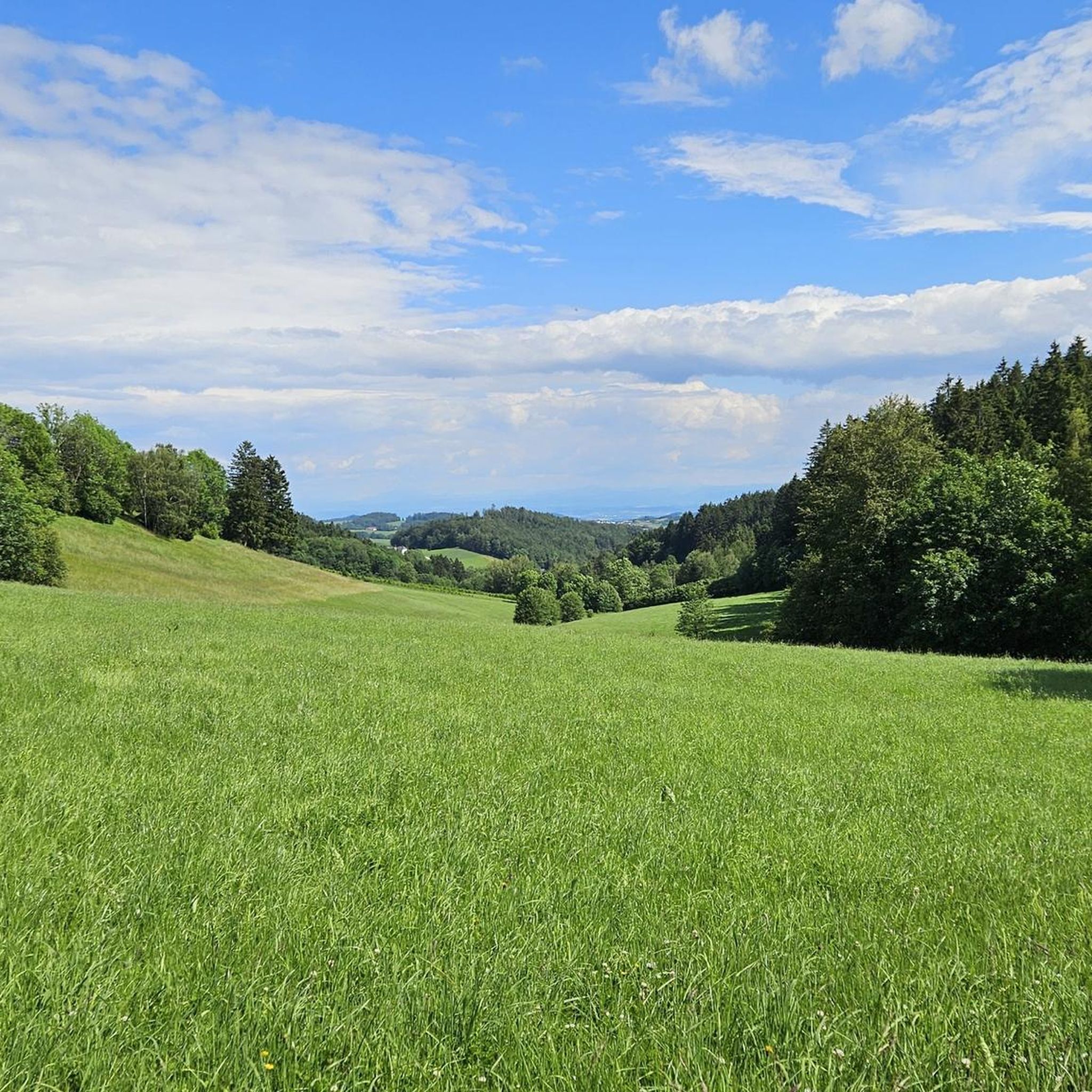
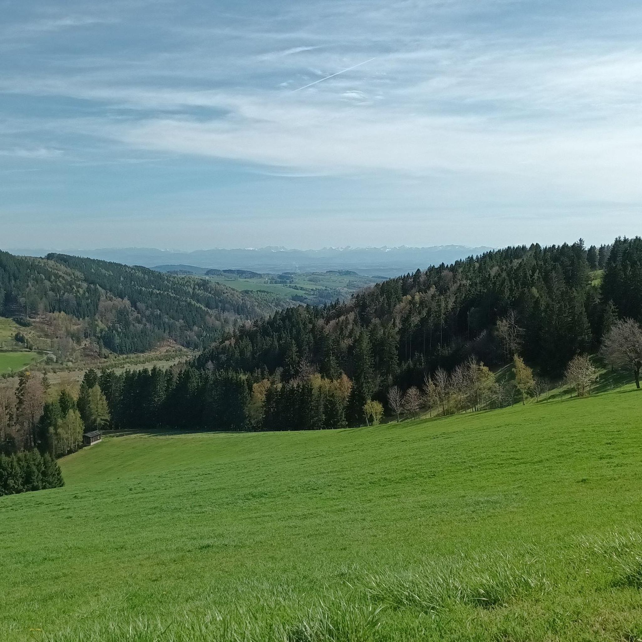
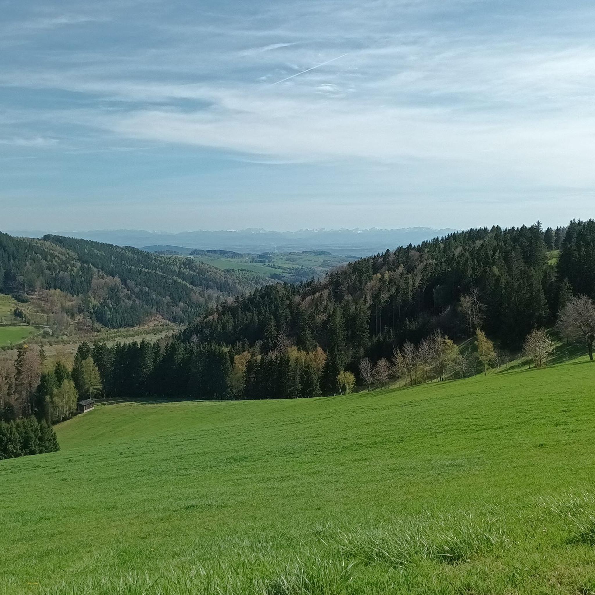
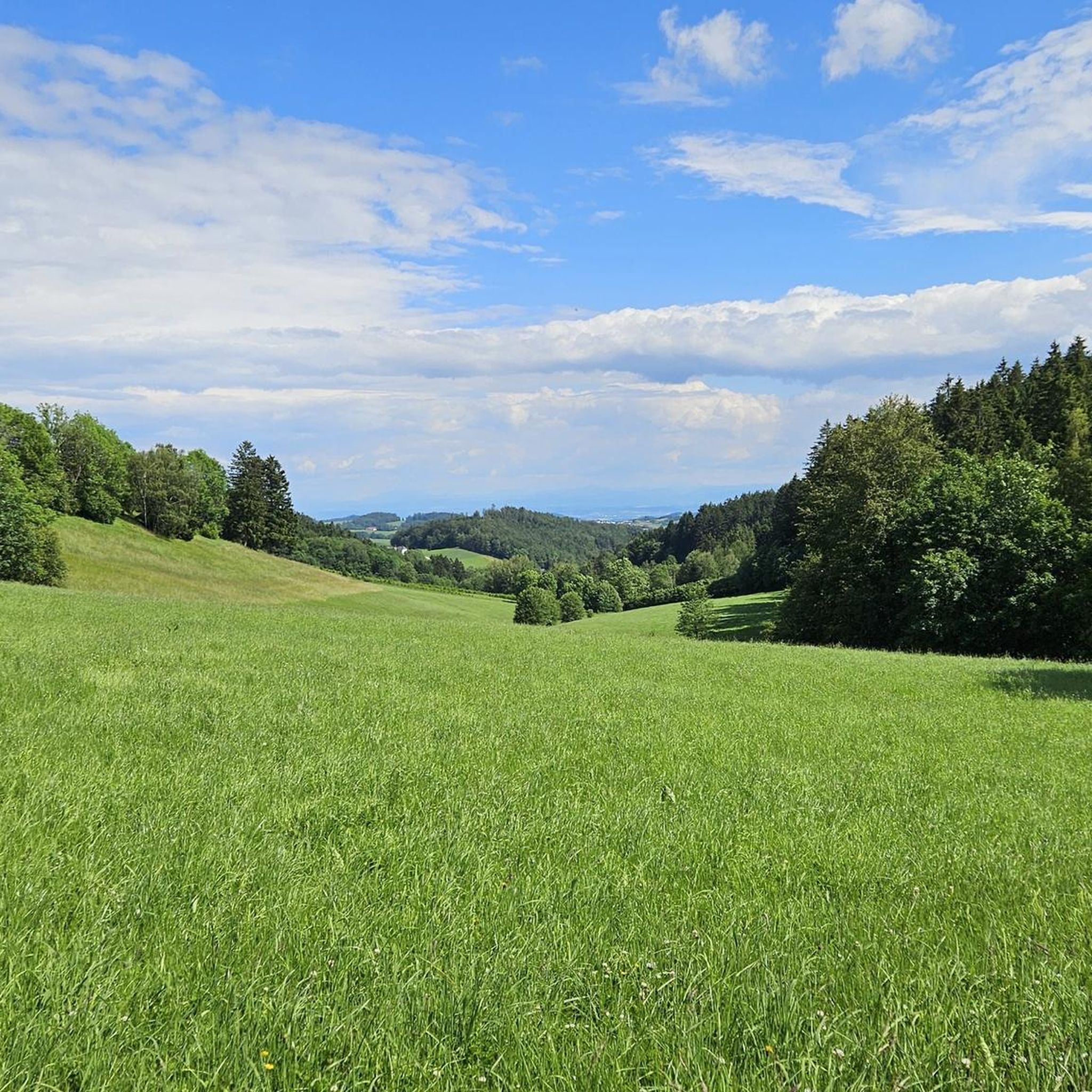
Road cycling around Kirchschlag bei Linz offers diverse landscapes characterized by hilly terrain, extensive forests, and elevated positions providing distant views. Located at an elevation of 894 meters above sea level, the area benefits from clear, fog-free air. The region's topography includes significant elevation gains, making it suitable for challenging road cycling routes.
Best road cycling routes around Kirchschlag bei Linz
- The most popular road cycling route is Main Square (Hauptplatz), Linz – Southeast View of Linz loop from Bezirk…
Last updated: July 8, 2026
5.0
(2)
143
riders
64.5km
03:22
1,190m
1,190m
Hard road ride. Very good fitness required. Mostly well-paved surfaces and easy to ride.
5.0
(2)
115
riders
61.6km
03:08
1,020m
1,020m
Hard road ride. Very good fitness required. Mostly well-paved surfaces and easy to ride.

Sign up for free
5.0
(1)
61
riders
41.7km
02:10
750m
750m
Moderate road ride. Good fitness required. Mostly well-paved surfaces and easy to ride.
43
riders
61.5km
03:02
950m
950m
Hard road ride. Very good fitness required. Mostly well-paved surfaces and easy to ride.
5.0
(2)
30
riders
Moderate road ride. Good fitness required. Mostly well-paved surfaces and easy to ride.
Get access to more routes and recommendations from other explorers.
Sign up for free
Already have an account?
Our route recommendations are based on thousands of hikes, rides, and runs completed by other people on komoot.
Start today with a free account
Your next adventure awaits.
Login or Signup
Tips from the Community

The parish church of St. Anne, with its attached parish office and parish hall, is well worth a visit.
0
0

The town hall stands at the western end of the main square, northeast of the parish church in the town of Bad Leonfelden in the Mühlviertel region.
0
0

Great rest area with swimming and refreshment options on hot days on the Danube Cycle Path.
3
0


beach for swimming
7
0

Very pretty, small town in the Upper Mühlviertel. Take some time to stroll through the alleys and enjoy the atmosphere.
0
1

Café Kastner in the center is known for the best pastries in the entire Mühlviertel. Beautiful town center. But the whole place is designed for cars and is flooded accordingly.
2
0

Long, great descent to Hirschbach
0
0
Frequently Asked Questions
What kind of terrain and views can I expect when road cycling around Kirchschlag bei Linz?
The region is characterized by hilly terrain and extensive forests, offering significant elevation gains and enchanting distant views. Located at an elevation of 894 meters, you'll often experience clear, fog-free mountain air. Many routes provide panoramic views, including those overlooking Linz.
Are there road cycling routes suitable for beginners or those looking for an easier ride?
While many routes in Kirchschlag bei Linz feature significant elevation gains, there are options for varying fitness levels. For a moderate ride, consider the Kirchschlag – Eidenberg Village loop, which covers 28.7 km with 730m of elevation gain.
What are some challenging road cycling routes for experienced riders?
Experienced cyclists seeking a challenge will find several difficult routes. The Main Square (Hauptplatz), Linz – Southeast View of Linz loop is a demanding 60.8 km ride with over 1,000m of elevation gain, offering panoramic views of Linz. Another challenging option is the Bad Leonfelden Market Square – Waxenberg loop, covering 61.5 km with nearly 950m of elevation gain.
What historical or cultural landmarks can I see along the road cycling routes?
You can incorporate historical sites into your rides. The Kirchschlag – Reichenau Castle Ruins loop is a moderate 42.6 km path that takes you past the historic Reichenau Castle Ruins. Other nearby castles include Waxenberg Castle Ruins and Linz Castle.
Are there any circular road cycling routes available?
Yes, many of the road cycling routes around Kirchschlag bei Linz are designed as loops. Examples include the Main Square (Hauptplatz), Linz – Southeast View of Linz loop and the Kirchschlag – Reichenau Castle Ruins loop, allowing you to start and end at the same point.
What is the best time of year for road cycling in Kirchschlag bei Linz?
The region is known for its 'good and fog-free high-altitude air,' making it pleasant for cycling during warmer months. While specific seasonal advice isn't detailed, the clear air and scenic views are best enjoyed when weather conditions are favorable, typically from spring through autumn. Winter conditions might affect accessibility on some routes.
Are there any facilities to improve cycling skills in the area?
Yes, Kirchschlag bei Linz features a dedicated cycling technique park (Radtechnik-Parcours). This park offers three trails of varying difficulty, designed for cyclists to practice and improve their technique, catering to everyone from beginners to professionals.
What do other road cyclists enjoy most about road cycling in Kirchschlag bei Linz?
The area is highly rated by the komoot community, with an average score of 5.0 stars from 5 reviews. Cyclists often praise the diverse landscapes, the challenging elevation gains, and the beautiful forest-near locations with magical distant views. Over 500 road cyclists have used komoot to explore the varied terrain.
Can I find routes that offer views of the city of Linz?
Absolutely. Several routes are designed to provide stunning vistas of Linz. The Main Square (Hauptplatz), Linz – Southeast View of Linz loop is specifically highlighted for its panoramic views of the city.
Are there any less crowded or hidden gem road cycling routes in the region?
While the main routes are popular, the broader Mühlviertel region offers extensive cycling opportunities. For a slightly different experience, consider the Reichenau Castle Ruins – Ottenschlag Landscape Pond loop, a moderate 36.9 km ride that takes you through varied landscapes away from the most frequented paths.
What are the options for parking when starting a road cycling tour?
While specific parking locations for each route aren't detailed, many routes start from central points like Kirchschlag bei Linz or Bad Leonfelden Market Square, where public parking is generally available. It's advisable to check local parking regulations for your chosen starting point.
Are there any family-friendly outdoor activities in Kirchschlag bei Linz that could complement a cycling trip?
Beyond cycling, Kirchschlag bei Linz offers several family-friendly attractions. You could explore the 'Wasserwichtelwelt' Forest Walk, or for more adventure, visit the Hochseilgarten (High Ropes Course) Ralf & Walter, which has courses for various ages, including a climbing park for younger children.
Most popular routes around Kirchschlag bei Linz
Most popular attractions around Kirchschlag bei Linz

Get inspired with the komoot mobile app


Explore more
Browse the best Road cycling routes in other regions.
