Easy hikes and walks around Sampford Brett
4.6
(512)
3,515
hikers
287
hikes
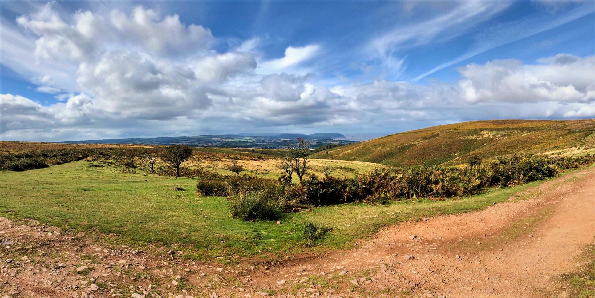
Hiking around Sampford Brett offers access to diverse landscapes, situated between the Quantock Hills Area of Outstanding Natural Beauty and Exmoor National Park. The region features rolling hills, deep wooded valleys known as "combes," and proximity to the coastline. Trails often wind through tranquil hamlets and offer views of the Bristol Channel. The area provides a network of paths suitable for various abilities, with a focus on easy hiking trails.
Best easy hiking trails around Sampford Brett
- The most popular…
Last updated: May 19, 2026
4.0
(1)
7
hikers
6.39km
01:58
210m
210m
Hike the easy 4.0-mile Coleridge Way: Monksilver and Nettlecombe Loop through Exmoor National Park, featuring historic churches and scenic w
4.3
(3)
8
hikers
Easy hike. Great for any fitness level. Easily-accessible paths. Suitable for all skill levels.

Sign up for free
3.0
(2)
26
hikers
4.51km
01:14
60m
60m
Easy hike. Great for any fitness level. Easily-accessible paths. Suitable for all skill levels.
5.0
(1)
9
hikers
Easy hike. Great for any fitness level. Easily-accessible paths. Suitable for all skill levels.
5.0
(1)
5
hikers
7.20km
01:59
120m
120m
Easy hike. Great for any fitness level. Easily-accessible paths. Suitable for all skill levels.
Get access to more routes and recommendations from other explorers.
Sign up for free
Already have an account?
Our route recommendations are based on thousands of hikes, rides, and runs completed by other people on komoot.
Start today with a free account
Your next adventure awaits.
Login or Signup
Popular around Sampford Brett
Other adventures around Sampford Brett

Tips from the Community

Nice Waterfall. Not as impressive as it looks on the pictures, if it has not rained for some time. Car park (4£ a day) available at Home Farm Holiday Center. (Limited space)
3
0

The natural waterfall at St Audries Bay plunges straight down onto the beach and can only be reached on foot at low tide.
4
0
Dunkery Beacon at the summit of Dunkery Hill is the highest point on Exmoor and in Somerset, England. It is also the highest point in southern England outside of Dartmoor. The sandstone hill rises to 519 metres and provides views over the surrounding moorland, the Bristol Channel, and hills up to 86 miles away.
1
1

This church dates back to the 12th century, although several of its parts are from later years, such as the tower (1500) or the North aisle and Trevelyan chapel (1540). Like many other churches, it underwent various restorations in the 19th century. The building you see to its left also holds historical significance; it is the Nettlecombe Court.
1
0

The highest northerly point on the Quantock Hills, the trig point and summit of Beacon Hill is a great viewpoint and run target. It stands at 310m and looks down over Bridgewater Bay and the Kilve coast. The running along the trails on the Quantock ridge is brilliant and although sometimes wet underfoot it's always good. You can run a long loop out to Wills Neck or further or link Beacon Hill with a coastal loop past Kilve.
0
0
Frequently Asked Questions
How many easy hiking trails are available around Sampford Brett?
Sampford Brett offers a wide selection of easy hiking trails, with over 130 routes suitable for various abilities. These trails explore the diverse landscapes between the Quantock Hills and Exmoor National Park.
Are there any easy circular walks in the Sampford Brett area?
Yes, many easy circular walks are available. For example, the Coleridge Way: Monksilver and Nettlecombe Loop is a 4.0-mile (6.4 km) circular route passing through Exmoor National Park. Another option is the Beacon Hill & Bicknoller Post loop, a 2.1-mile (3.3 km) trail offering panoramic views in the Quantock Hills.
Can I find easy walks that feature waterfalls near Sampford Brett?
Yes, you can! The St Audries Bay Waterfall loop from Doniford Halt is an easy 2.8-mile (4.5 km) trail that leads through coastal scenery directly to a beautiful waterfall.
Are there family-friendly easy hikes around Sampford Brett?
The easy trails around Sampford Brett are generally suitable for families. Many routes are short and relatively flat, winding through tranquil hamlets and wooded valleys. The Monksilver and Nettlecombe Loop is a good example, offering a manageable distance and points of interest like historic churches.
What kind of natural features or viewpoints can I expect on easy hikes in this region?
Easy hikes in the area often feature diverse landscapes. You can expect rolling hills, deep wooded valleys known as 'combes,' and views of the Bristol Channel. Higher points like those found on the Beacon Hill & Bicknoller Post loop offer panoramic vistas. You might also encounter streams and historic mills.
Are there any historic landmarks or attractions to see on easy walks?
Many easy routes pass through charming villages and near historic churches. For instance, the St Mary's Church, Nettlecombe – All Saints Church, Monksilver loop connects two historic churches. The village of Sampford Brett itself has a well-preserved Norman church and 18th-century cottages. Further afield, but accessible, is Dunster Village with its medieval castle.
What do other hikers say about the easy trails around Sampford Brett?
The easy trails in Sampford Brett are highly regarded by the komoot community, with an average rating of 4.5 stars from over 480 reviews. Hikers often praise the varied terrain, the tranquility of the wooded valleys, and the scenic views of the Quantock Hills and Exmoor National Park.
Are there options for shorter easy walks, perhaps under 1.5 hours?
Yes, there are several shorter easy walks. The Beacon Hill & Bicknoller Post loop can typically be completed in about an hour. Another good option is the St Audries Bay Waterfall loop, which takes around 1 hour 13 minutes.
Are there pubs or cafes near the easy hiking trails in Sampford Brett?
Many routes pass through or near charming villages where you can find local amenities. For example, the The White Horse, Stogumber – Stogumber Village loop starts and ends in Stogumber, a village known for its pub, The White Horse, offering a convenient stop for refreshments.
What is the best time of year to enjoy easy hikes around Sampford Brett?
The diverse landscapes around Sampford Brett, including the Quantock Hills and Exmoor National Park, offer enjoyable hiking experiences throughout the year. Spring brings wildflowers, summer provides lush greenery, autumn showcases vibrant foliage, and winter offers crisp, clear views, especially from higher vantage points like Beacon Hill Trig Point.
Where can I find parking for easy hikes in the Sampford Brett area?
Many trails, particularly those in the Quantock Hills, have designated parking areas. For instance, the Beacon Hill & Bicknoller Post loop starts from Staple Plain Car Park. Local circular walks often begin from the Sampford Brett Village Hall car park, and other routes may have roadside parking in villages.
Most popular attractions around Sampford Brett

Get inspired with the komoot mobile app


Explore more
Browse the best Hikes in other regions.
