The best road cycling routes around Kirchheilingen
4.6
(264)
1,377
riders
79
rides
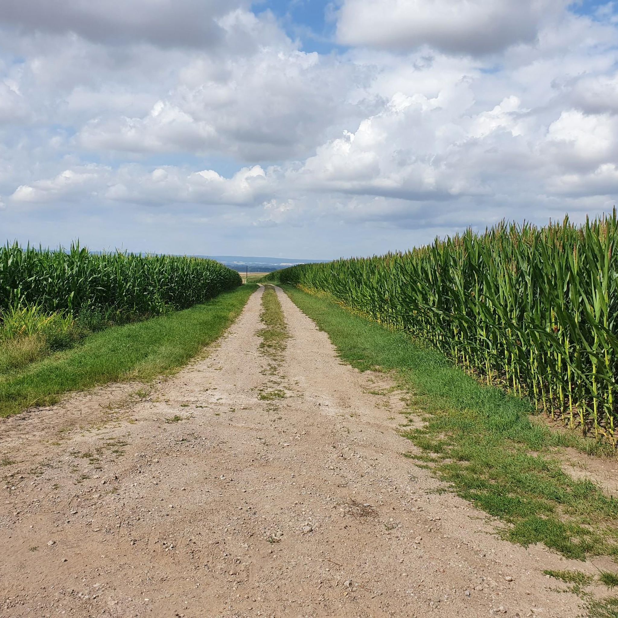
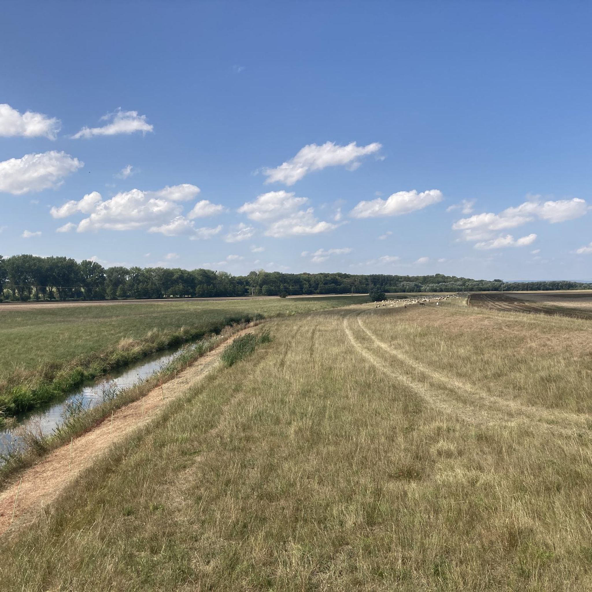
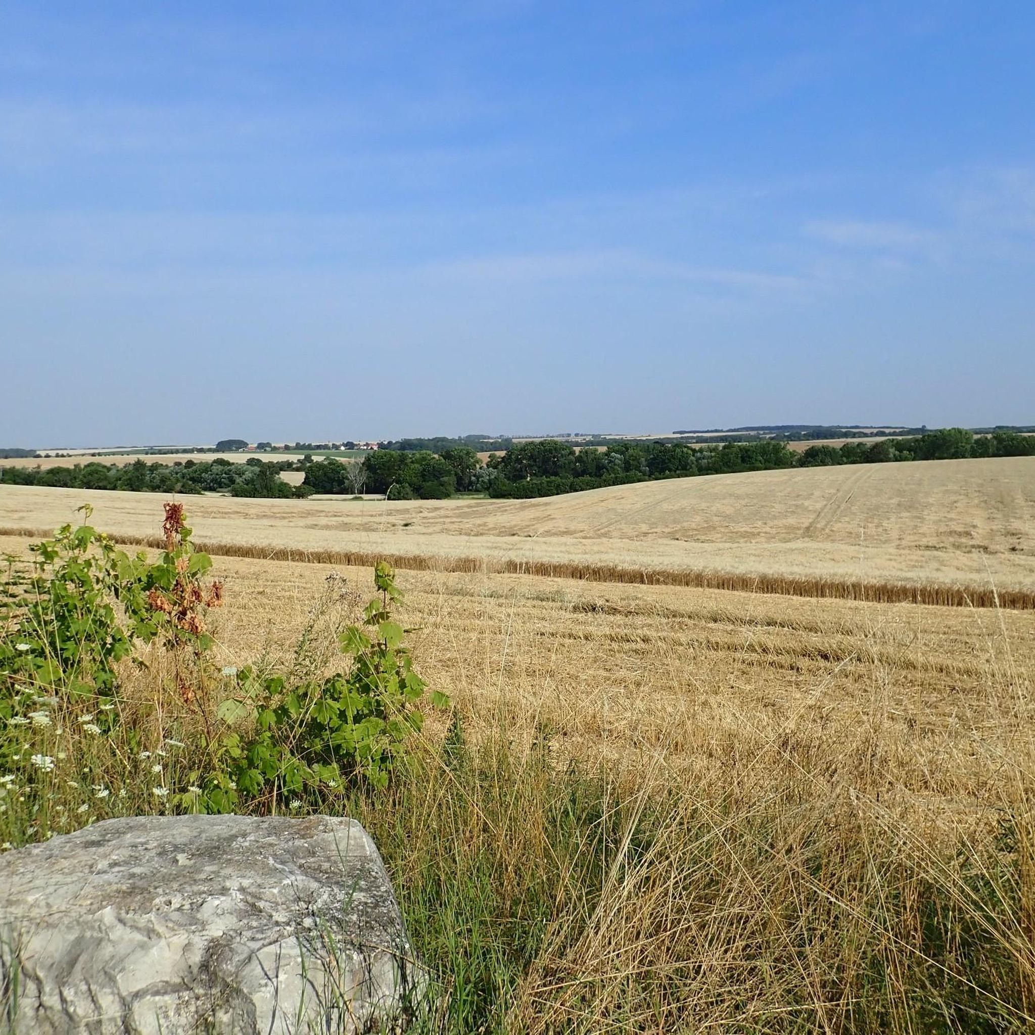
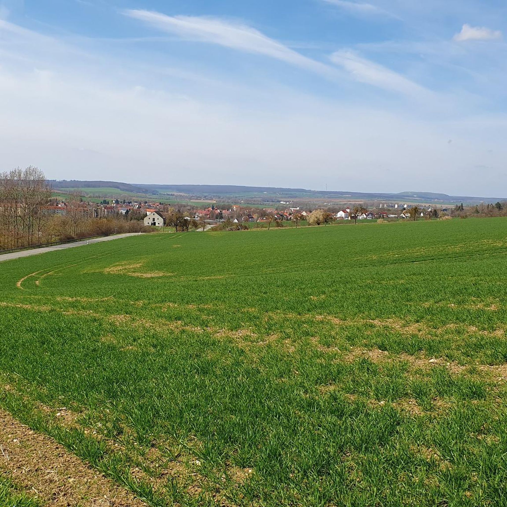
Road cycling routes around Kirchheilingen traverse a varied landscape within the Unstrut-Hainich-Kreis district of Thuringia, Germany. The region features the Unstrut Valley Nature Reserve, known for its meandering riverbed and dense bank vegetation. Cyclists can also explore areas within the Eichsfeld-Hainich-Werratal Nature Park, offering diverse views across the Heilinger Heights and the broader Thuringian Basin. The cycling infrastructure includes regional paths like the K² Radweg, which utilizes a former narrow-gauge railway line, providing routes with gentle inclines.
Best road cycling…
Last updated: May 12, 2026
5.0
(2)
20
riders
50.4km
02:16
430m
430m
Moderate road ride. Good fitness required. Mostly well-paved surfaces and easy to ride.
5.0
(1)
17
riders
63.5km
02:41
420m
420m
Moderate road ride. Good fitness required. Some segments of this route may be unpaved and difficult to ride.

Sign up for free
5.0
(3)
13
riders
Moderate road ride. Great for any fitness level. Some segments of this route may be unpaved and difficult to ride.
5.0
(1)
10
riders
31.2km
01:27
240m
240m
Moderate road ride. Great for any fitness level. Some segments of this route may be unpaved and difficult to ride.
5.0
(3)
8
riders
Moderate road ride. Good fitness required. Mostly well-paved surfaces and easy to ride.
Get access to more routes and recommendations from other explorers.
Sign up for free
Already have an account?
Our route recommendations are based on thousands of hikes, rides, and runs completed by other people on komoot.
Start today with a free account
Your next adventure awaits.
Login or Signup
Tips from the Community

You make good progress. Slight incline until the end, where an 18% wall awaits.
0
0
Top cycle path, beautiful area
0
0

The grounds are wonderfully well-maintained and authentic. The colorful koi in the lake are an attraction in their own right. The teahouse doesn't open until 1 p.m. However, there were only a few visitors during our morning visit, so we were able to enjoy the garden in peace. https://badlangensalza.de/kur-tourismus/entdecken-erleben/sehenswertes/parks-themengaerten/japanischer-garten/
5
0

Here you can enjoy gently babbling waterfalls in this oasis and linger at the sacred tree square in the Japanese Garden.
4
0
The Japanese Garden is one of the city of Bad Langensalza's five themed gardens. Located directly on Langensalza's spa and garden mile, it is an impressive park with pavilions, a pond, and a Japanese-style dry garden. https://badlangensalza.de/kur-tourismus/entdecken-erleben/sehenswertes/parks-themengaerten/japanischer-garten/
4
0

Outside of Nottertal-Heilinger Höhen you are on the Unstrut-Werra cycle path. This is 113 kilometers long and follows the rivers that give it its name.
0
0

Beautiful little church, which invites you to stop for photos.
1
0
Frequently Asked Questions
How many road cycling routes are available around Kirchheilingen?
There are over 80 road cycling routes available in and around Kirchheilingen, offering a wide range of options for cyclists. These routes are highly rated by the komoot community, with an average score of 4.7 stars from over 260 reviews.
What kind of terrain can I expect when road cycling near Kirchheilingen?
Road cycling routes around Kirchheilingen traverse a varied landscape, including the Unstrut Valley, the elevated Heilinger Heights, and the broader Thuringian Basin. You'll find sections with gentle inclines, particularly along paths like the K² Radweg which utilizes a former narrow-gauge railway line, as well as more rolling terrain.
What are the typical difficulty levels for road cycling routes in the Kirchheilingen area?
The routes around Kirchheilingen cater to various skill levels. Out of the 80 available routes, 6 are considered easy, 66 are moderate, and 8 are more difficult, ensuring there's a suitable option for most road cyclists.
Are there any scenic viewpoints or natural features to see along the road cycling routes?
Yes, the region offers several scenic spots. You can cycle through the Unstrut Valley Nature Reserve between Nägelstedt and Großvargula, known for its meandering riverbed and diverse wildlife. The area is also on the edge of the Eichsfeld-Hainich-Werratal Nature Park, providing varied landscapes and views across the Heilinger Heights and Thuringian Basin.
What historical sites or cultural attractions can I visit while cycling in the region?
The area around Kirchheilingen is rich in history. You can encounter historical sites like the Bad Langensalza Town Hall with its carillon and the Breite Fountain. There are also several castles nearby, such as Tonna Castle (Kettenburg) and Altengottern Castle, which can be explored as part of your cycling excursions.
Are there any long-distance road cycling routes available?
Yes, the region connects to prominent regional cycling paths. For example, the Unstrut-Werra Cycle Path – Unstrut Cycle Path loop from Schlotheim is a substantial 30.4-mile (48.9 km) route that offers a comprehensive tour of the area. The K² Radweg and Unstrut Radweg also provide options for longer rides.
Are there loop road cycling routes around Kirchheilingen?
Many routes in the area are designed as loops, allowing you to start and end in the same location. An example is the Beautiful cycle path – Rail Trail Near Kirchheiligen loop from Urleben, which covers 39.6 miles (63.8 km) and utilizes a former narrow-gauge railway line.
Are there family-friendly road cycling options in Kirchheilingen?
While most road cycling routes are moderate, the presence of paths like the K² Radweg, built on former railway lines, offers sections with gentle inclines that can be suitable for families with older children or those looking for an easier ride. Always check the specific route details for distance and elevation to ensure it matches your family's capabilities.
What is the best season for road cycling in Kirchheilingen?
The best seasons for road cycling in Kirchheilingen are typically spring, summer, and early autumn. During these months, the weather is generally mild, and the natural landscapes, including the Unstrut Valley Nature Reserve, are at their most vibrant. Always check the local weather forecast before heading out.
Can I find cafes or places to stop for refreshments along the road cycling routes?
Yes, several routes pass through or near towns and villages where you can find cafes and refreshment stops. For instance, the Schieferhof Nägelstedt – Ice Cream Café Klaus in der Au loop from Großwelsbach specifically mentions an ice cream café, indicating opportunities for breaks.
Are there any routes that pass by castles or palaces?
Absolutely. The region has several historical structures that can be incorporated into your rides. The Schloss Tonna loop from Bad Langensalza is an example of a route that takes you past Tonna Castle (Kettenburg), offering a blend of cycling and cultural exploration.
What is the K² Radweg and how does it relate to road cycling in Kirchheilingen?
The K² Radweg (Kneipp and Narrow-Gauge Railway Cycling Route) is a significant regional cycling path that passes through the Kirchheilingen area. It was established on a former narrow-gauge railway line, which means it often provides routes with gentle inclines, making it a popular and accessible option for road cyclists.
Most popular attractions around Kirchheilingen

Get inspired with the komoot mobile app


Explore more
Browse the best Road cycling routes in other regions.
