Easy hikes and walks around Veurne
4.4
(4897)
43,629
hikers
889
hikes
Easy hiking trails around Veurne traverse a varied landscape characterized by coastal dunes, expansive polder lands, and significant wetland areas. The region features dynamic dune ecosystems, including the Hoge Blekker, the highest dune on the Flemish coast, offering elevated views. Hikers can explore unique polder landscapes like De Moeren, situated below sea level, and the biologically rich Yser Estuary with its mudflats and salt marshes. These natural features provide diverse terrain for outdoor exploration.
Best easy hiking trails around Veurne
…Last updated: October 10, 2026
4.5
(59)
364
hikers
4.82km
01:13
10m
10m
Easy hike. Great for any fitness level. Easily-accessible paths. Suitable for all skill levels.
4.6
(84)
490
hikers
7.16km
01:49
20m
20m
Easy hike. Great for any fitness level. Easily-accessible paths. Suitable for all skill levels.

4.6
(9)
444
hikers
Easy hike. Great for any fitness level. Easily-accessible paths. Suitable for all skill levels.
4.4
(8)
400
hikers
3.50km
00:54
10m
10m
Easy hike. Great for any fitness level. Easily-accessible paths. Suitable for all skill levels.
4.5
(42)
205
hikers
Easy hike. Great for any fitness level. Easily-accessible paths. Suitable for all skill levels.
4.7
(32)
246
hikers
Easy hike. Great for any fitness level. Easily-accessible paths. Suitable for all skill levels.
4.2
(37)
266
hikers
7.15km
01:49
10m
10m
Easy hike. Great for any fitness level. Easily-accessible paths. Suitable for all skill levels.
4.6
(32)
123
hikers
6.07km
01:34
30m
30m
Easy hike. Great for any fitness level. Easily-accessible paths. Suitable for all skill levels.
4.8
(24)
155
hikers
Easy hike. Great for any fitness level. Easily-accessible paths. Suitable for all skill levels.
4.8
(25)
122
hikers
4.24km
01:05
10m
10m
Easy hike. Great for any fitness level. Easily-accessible paths. Suitable for all skill levels.
Get access to more routes and recommendations from other explorers.
Already have an account?
Our route recommendations are based on thousands of hikes, rides, and runs completed by other people on komoot.
Start today with a free account
Your next adventure awaits.
Popular around Veurne

Easy hikes around Calmeynbos
Easy hikes in Natuurreservaat De Westhoek
Easy hikes in Westhoekduinen, Duinen Van Cabour, De Moeren En Plateau Van Izenberge
Flanders’ Finest Hiking Routes
From De Panne to het Zwin – Belgian coastal path (Streek GR Kust)
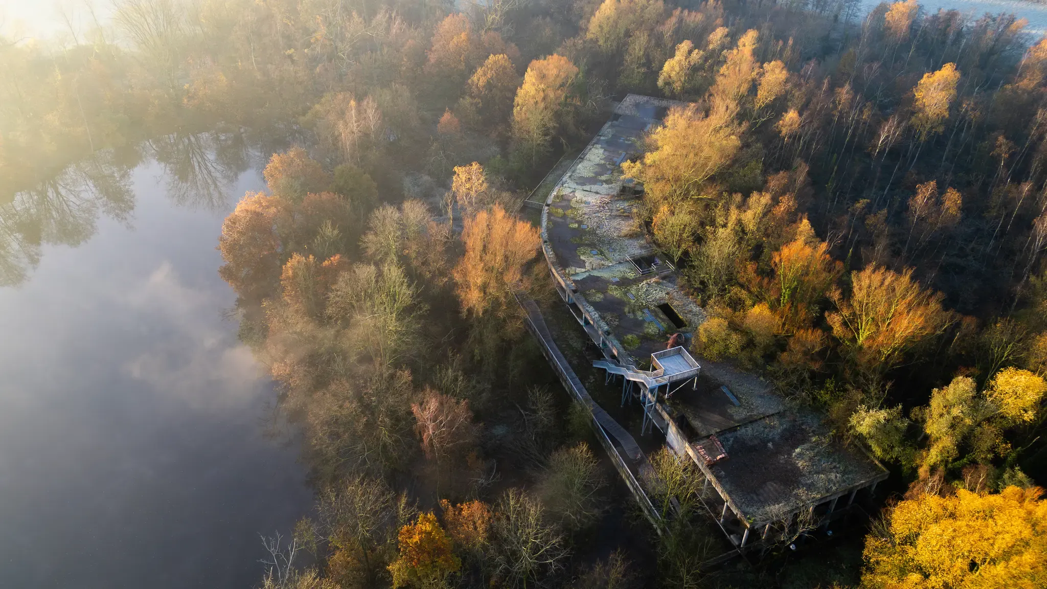
Hiking in Flanders – between dunes, forest and the scenic Meuse
Treinstappers – from station to station in Flanders
Delicious hiking: Culinary Tours in Flanders
Waterside walks in Flanders
Winter hiking bliss in Flanders
Other adventures around Veurne


Tips from the Community

The Sint-Jans-Onthoofdingkerk in Stavele is also known as the 'Leaning Tower of Pisa' of the Westhoek! If you look closely while cycling through the Yser Valley, you'll notice something about the skyline of Stavele. No, it's not due to the Westvleteren trappist beer or the Hommel beer from the Hop Festivals: the church tower of the Sint-Jans Onthoofdingkerk is really a little bit crooked! This robust church tower has been suffering from stability problems for decades and at some point decided to subtly lean towards the countryside. Although engineers are keeping a close eye on things and the tower has fortunately been declared stable, we secretly have our own, West Flemish version of the Tower of Pisa here in the Westhoek.
5
0
The Kallebrug – small bridge, big challenge! This striking wooden arch bridge over the Yser is the legendary Kallebrug, also known as the foot and cycle bridge near Stavele. It connects the towpaths between Stavele and Roesbrugge and forms a special and photogenic stretch of cycle route in the middle of the open landscape. But don't be fooled by its charming appearance… this bridge has a reputation! 😄 In the region, it's jokingly called 'the steepest bridge in the country'. The steep incline means that as a cyclist, you'll have to get out of the saddle here. And for those who find it a bit more difficult: the stairs on the side offer a solution to push the bike up by hand. A small bridge, in other words, where the budding Flandrien can prove themselves for a moment. 💪🚲 Once at the top, the reward awaits: a beautiful view over the Yser and the vast landscape. Take a moment to catch your breath, get your camera out, and then pedal on towards the next highlight. The Kallebrug: small in length, large in gradient… and even larger in cycling stories! 😉
3
0
Folk nostalgia on the Yser 🍻 Anyone cycling through Stavele can hardly ignore the authentic facade of ’t Hof van Commerce. This 180-year-old inn breathes the atmosphere of the Westhoek, with old signs, horse stables, and an interior full of antiques and stories. The former stables have been given a new life as atmospheric themed rooms, the terrace is located on the spot of the former pigsty, and even the toilet is in an old rabbit hutch. 😄 On the terrace, near the historic Stavele bridge and the Yser, you can enjoy a Picon, regional beer, or a hearty Breughel buffet. A wonderful place to put your bike aside for a moment and experience the authentic Westhoek at its best!
5
0

looks wonderful when you see it live. The water runs under the artwork on the pedestal
0
0

The pedestrian and cycle ferry is free and you can save a lot of distance
0
0
The demarcation post in Nieuwpoort-Bad (officially Demarcation Post No. 2) is a historical monument marking the northernmost point of the Western Front during World War I. The granite column symbolizes the extreme limit of the German advance and the place where the enemy was finally halted. A demarcation post (or borne Vauthier) is a memorial stone designed by the French sculptor and veteran Paul Moreau-Vauthier. In the 1920s, a total of 118 posts were erected along the entire 650-kilometer front line, from Nieuwpoort on the North Sea to the Swiss border. Today, 19 of these posts remain in Belgium. Symbolism and appearance: the post is about a meter high, made of red Alsatian granite, and is full of maritime and military symbols. The top: atop the post rests a Belgian soldier's helmet (Adrian type with a lion's head) on a laurel wreath. The sides: carved military equipment, including a canteen, a gas mask, hand grenades, and laurel branches. The inscription: the post bears the text in three languages (Dutch, French, and English): "Here the invader was stopped" Destruction and restoration in WWII: the confrontational text on the posts was an eyesore for Nazi Germany. During the occupation in World War II, the Germans ordered the multilingual inscriptions on the West Flemish demarcation posts to be chiseled away. It was not until September 1991 that the damaged inscriptions on the posts in Nieuwpoort were officially restored and rebuilt to their former glory. Historical significance of Post No. 2 The German attack (1917): Although the front on the Yser stabilized in October 1914 due to the deliberate flooding of the polders, the post in Nieuwpoort-Bad specifically commemorates a later, fierce battle. On July 10, 1917, the Germans launched a surprise attack (Unternehmen Strandfest) on the British lines on the coast to thwart an Allied offensive. Extreme limit: German stormtroopers managed to push the Allies back to the mouth of the Yser, but could not cross the harbor channel. The post stands exactly at the spot where this bloody advance was halted.
3
0

Wooden plank floor is being renovated, autumn 2025
1
1

"Westerpunt" is a six-meter-high architectural gem on the promenade leading to France. Studio MOTO designed it as a symbolic connection between the sea, dunes, and humanity. From the top, you can enjoy a magnificent 360° view of the surroundings. At high tide, part of the structure is submerged, making it seem as if you are literally suspended "above" the sea.
0
1
Frequently Asked Questions
How many easy hiking trails are available around Veurne?
Veurne offers a wide selection of easy hiking trails, with over 500 routes suitable for all skill levels. In total, there are more than 800 hiking routes in the region.
What kind of landscapes can I expect on easy hikes near Veurne?
Easy hikes around Veurne traverse diverse landscapes. You'll find dynamic dune ecosystems, including the Hoge Blekker, the highest dune on the Flemish coast. Expansive polder lands like De Moeren, situated below sea level, offer unique open views. Additionally, the biologically rich IJzer Estuary Nature Reserve features mudflats and salt marshes.
Are there any easy circular walks around Veurne?
Yes, many easy routes around Veurne are circular. For example, the De Doornpanne Visitor Centre – Doornpanne Learning Trail loop from Koksijde is an easy 5.9 km circular path through the dune landscape. Another option is the Westerpunt – View of the Dune Reserve loop from Natuurreservaat De Westhoek, a 6.1 km trail through the Westhoek nature reserve.
What are some notable natural features or landmarks to see on easy hikes?
You can explore several natural and historical landmarks. The View from the Hoge Blekker offers elevated perspectives over the dunes. The IJzer Estuary Nature Reserve is a special biotope with mudflats and salt marshes. You might also encounter the Ganzepoot Sluice Complex, a significant historical water management structure.
Are there family-friendly easy hikes in the area?
Many easy trails around Veurne are suitable for families. The Veurne city walking route is a gentle 4.8 km path ideal for a leisurely family stroll. Trails through the dune areas, such as the Doornpanne Learning Trail – View from the Hoge Blekker loop from Koksijde, also offer engaging experiences for all ages.
Can I go birdwatching on easy trails near Veurne?
Yes, the region is excellent for birdwatching, especially in its wetland areas. The Suikerwater wetland is known for species like the bluethroat and marsh harrier. You can also visit the Birdwatching hide at De Koolhofput for dedicated observation.
What do other hikers enjoy most about easy trails in Veurne?
The easy trails in Veurne are highly rated by the komoot community, with an average score of 4.4 stars from over 4,200 reviews. Hikers often praise the varied terrain, from coastal dunes to unique polder landscapes, and the well-maintained paths that make for enjoyable and accessible walks.
Are there easy routes that offer views of the coast or sea?
Yes, several easy routes provide coastal views. The Lombardsijde Creek – Nieuwpoort Lighthouse loop from Lombardsijde is a 7.0 km trail that takes you along the coast. The dune areas, such as those traversed by the De Doornpanne Visitor Centre – Oostduinkerke Buoy loop from Quartier Sénégalais, also offer glimpses of the sea.
Are there any easy hikes that follow rivers or canals?
Yes, you can find easy hikes along waterways. The Yser River – Kallebrug Over the Yser loop from Beveren aan de IJzer is a 7.1 km route that follows the Yser River, offering peaceful waterside scenery.
What is the best time of year for easy walks in Veurne?
Veurne's diverse landscapes make it suitable for easy walks year-round. Spring and autumn offer pleasant temperatures and vibrant natural colors, while summer is ideal for coastal walks. Even in winter, the polder and dune landscapes provide unique atmospheric experiences.
Are there opportunities to see wildlife on easy hikes?
Yes, the nature reserves and wetlands around Veurne offer chances to spot wildlife. In the dune reserves, you might encounter Scottish Highland cattle or Konik horses. The Suikerwater wetland and the IJzer Estuary Nature Reserve are particularly good for birdwatching.
Are there any easy trails that pass through historical sites?
Veurne's historical heritage is often integrated with its natural surroundings. The Veurne city walking route offers a gentle exploration of the town's historical elements. The Vauban Park, built on former fortifications, also combines nature with history.
Most popular routes around Veurne
Most popular attractions around Veurne

Get inspired with the komoot mobile app


Didn’t find what you were looking for?
Check out more Hikes throughout Veurne below and find the perfect route in your destination.
Explore more
Browse the best Hikes in other regions.
