The 20 Most Amazing Peaks in Wallonia
Best mountain peaks in Wallonia offer diverse natural landscapes and opportunities for outdoor recreation. This southern region of Belgium features a collection of peaks primarily within the Ardennes and High Fens nature reserve. These high points provide extensive views and unique ecosystems, significant for their ecological richness and historical importance. The region is ideal for hikers and nature enthusiasts seeking varied terrain.
Best mountain peaks in Wallonia
- The most popular mountain peaks is Signal de Botrange – Highest Point of…
Last updated: October 4, 2026
Vaalserberg Three-Country Point
Highlight • Monument
Translated by Google •
Tip by

Baltia Hill – Highest Point of Belgium
Highlight • Summit
Translated by Google •
Tip by

Sign up now to discover places like this
Get recommendations on the best single tracks, peaks, & plenty of other exciting outdoor places.
Baraque Michel
Highlight • Mountain Hut
Showing Translation
Tip by

Vaalserberg Climb via Route des Trois Bornes
Highlight (Segment) • Climb
Translated by Google •
Tip by

Vaalserberg Climb from the Netherlands
Highlight (Segment) • Climb
Translated by Google •
Tip by

Tombeau du Géant viewpoint
Highlight • Viewpoint
Translated by Google •
Tip by
Observation Bunker MN18 and Knuppelstock Orientation Table
Highlight • Historical Site
Translated by Google •
Tip by
Mont-Saint-Aubert
Highlight • Summit
Translated by Google •
Tip by

Signal de Botrange – Highest Point of Belgium
Highlight • Summit
Translated by Google •
Tip by

Col du Rosier East Ascent
Highlight (Segment) • Climb
Translated by Google •
Tip by

Sign up for free to discover even more peaks in Wallonia.
Already have an account?
Start today with a free account
Your next adventure awaits.
Popular around Wallonia

From Flanders to the Ardennes — GR 5 in Belgium
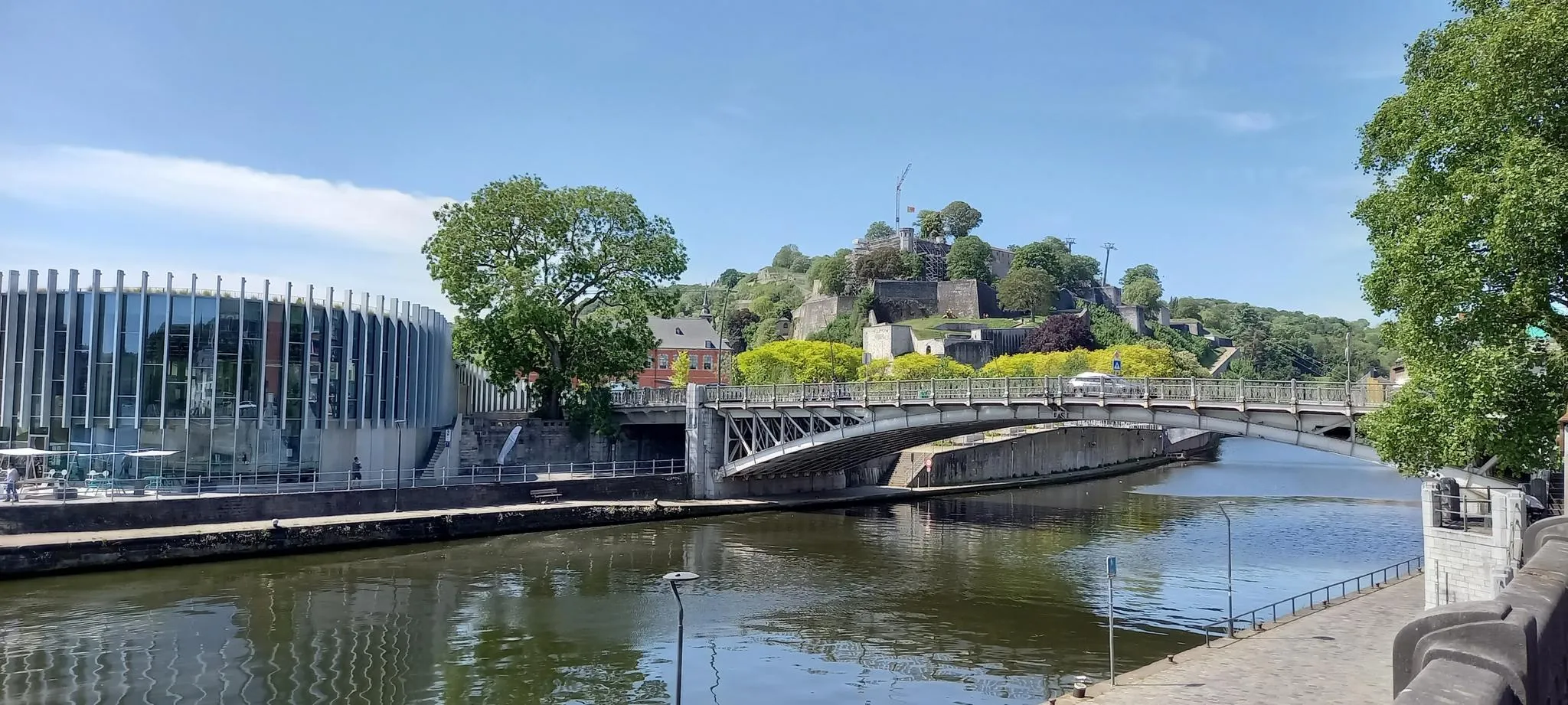
EuroVelo 3 — The adventure in the heart of Belgium
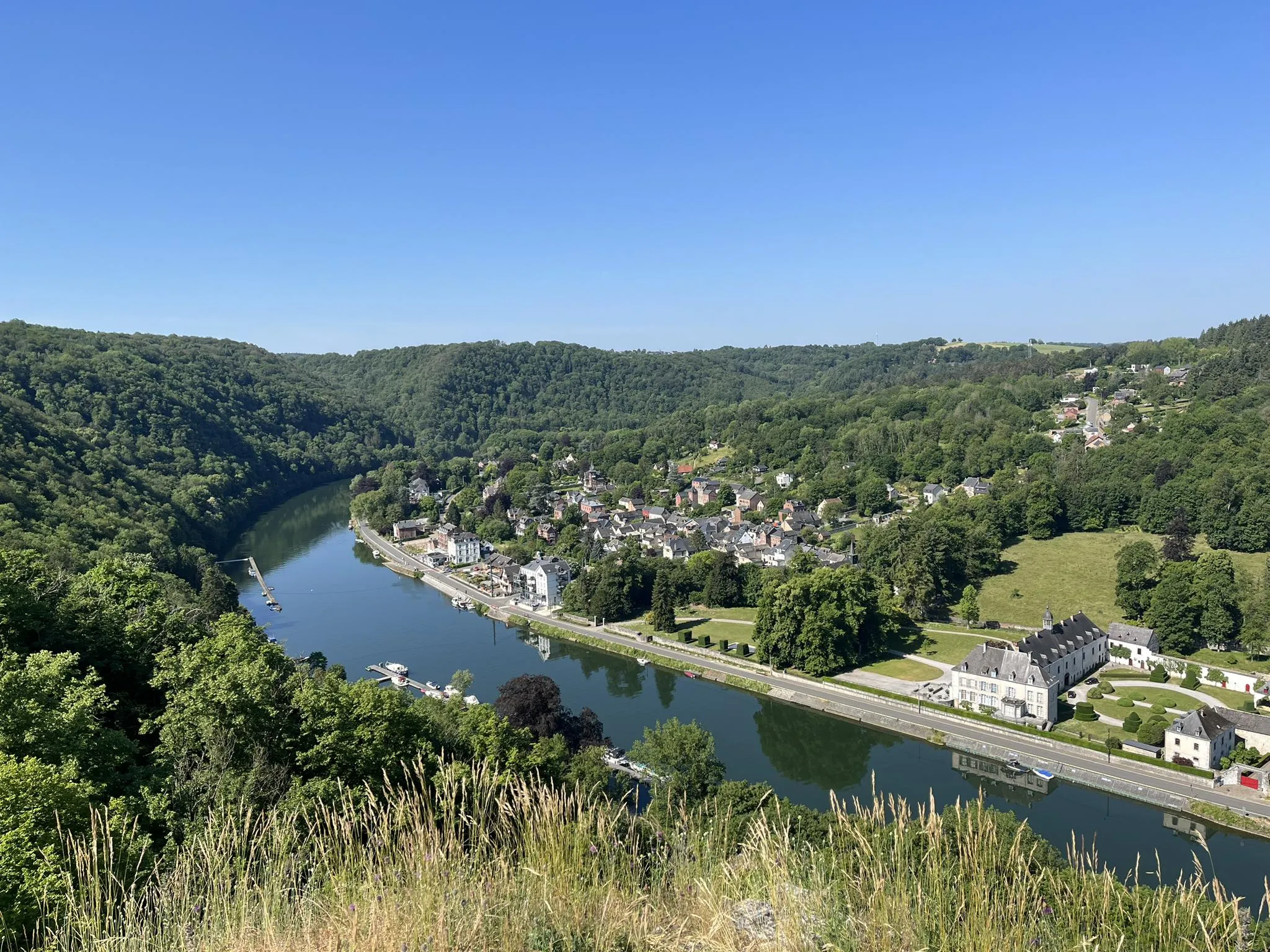
Sentier des abbayes trappistes part 1 – Between nature and gastronomy
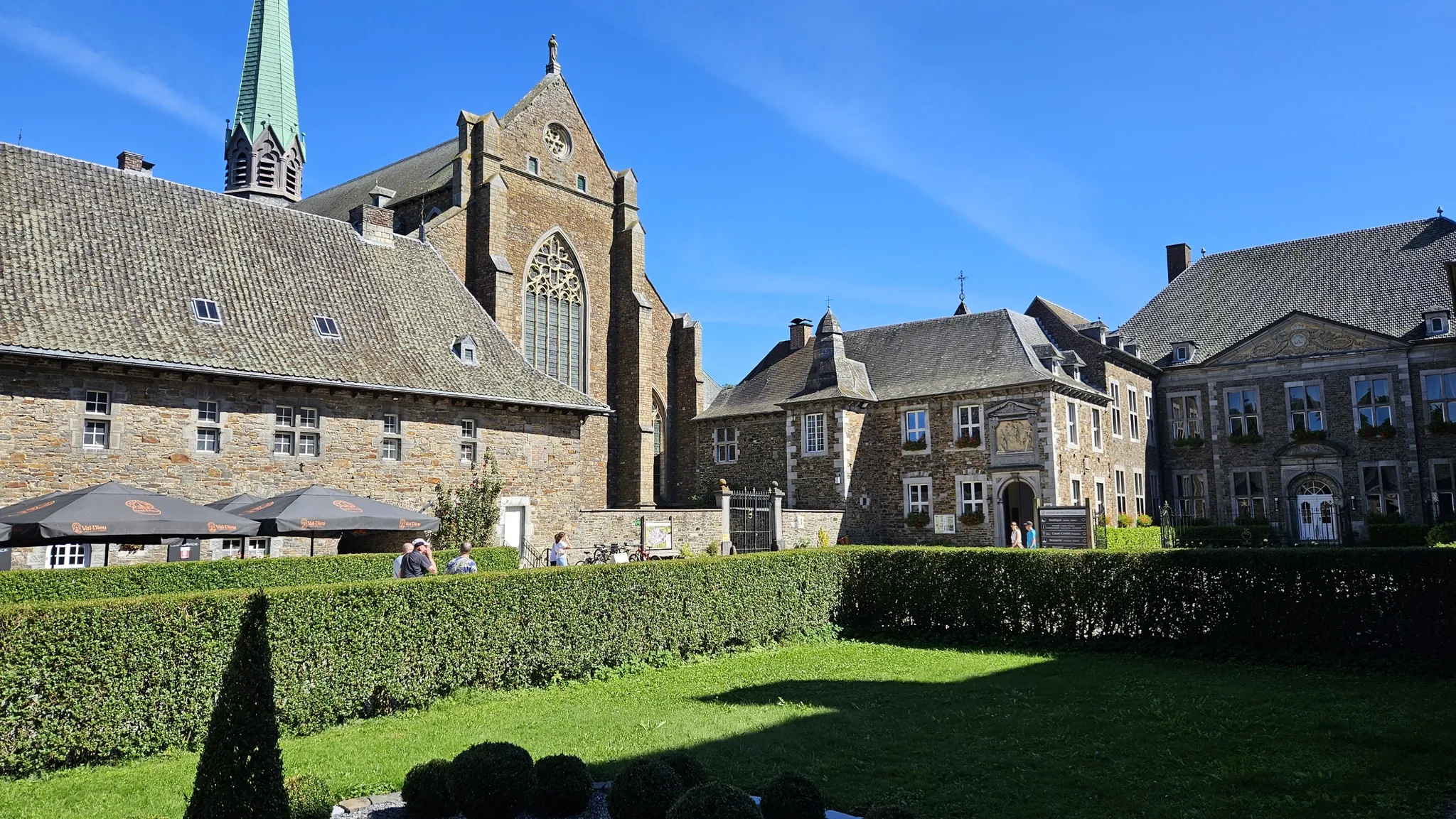
Trappist abbeys cycle route – Between beers and heritage
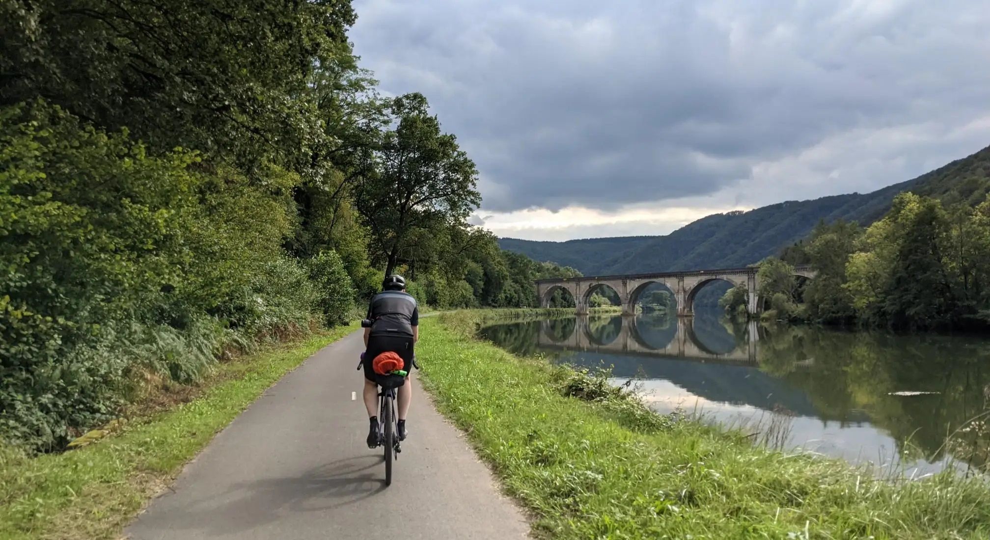
Aachen to Reims – Ardennes, Meuse and Champagne
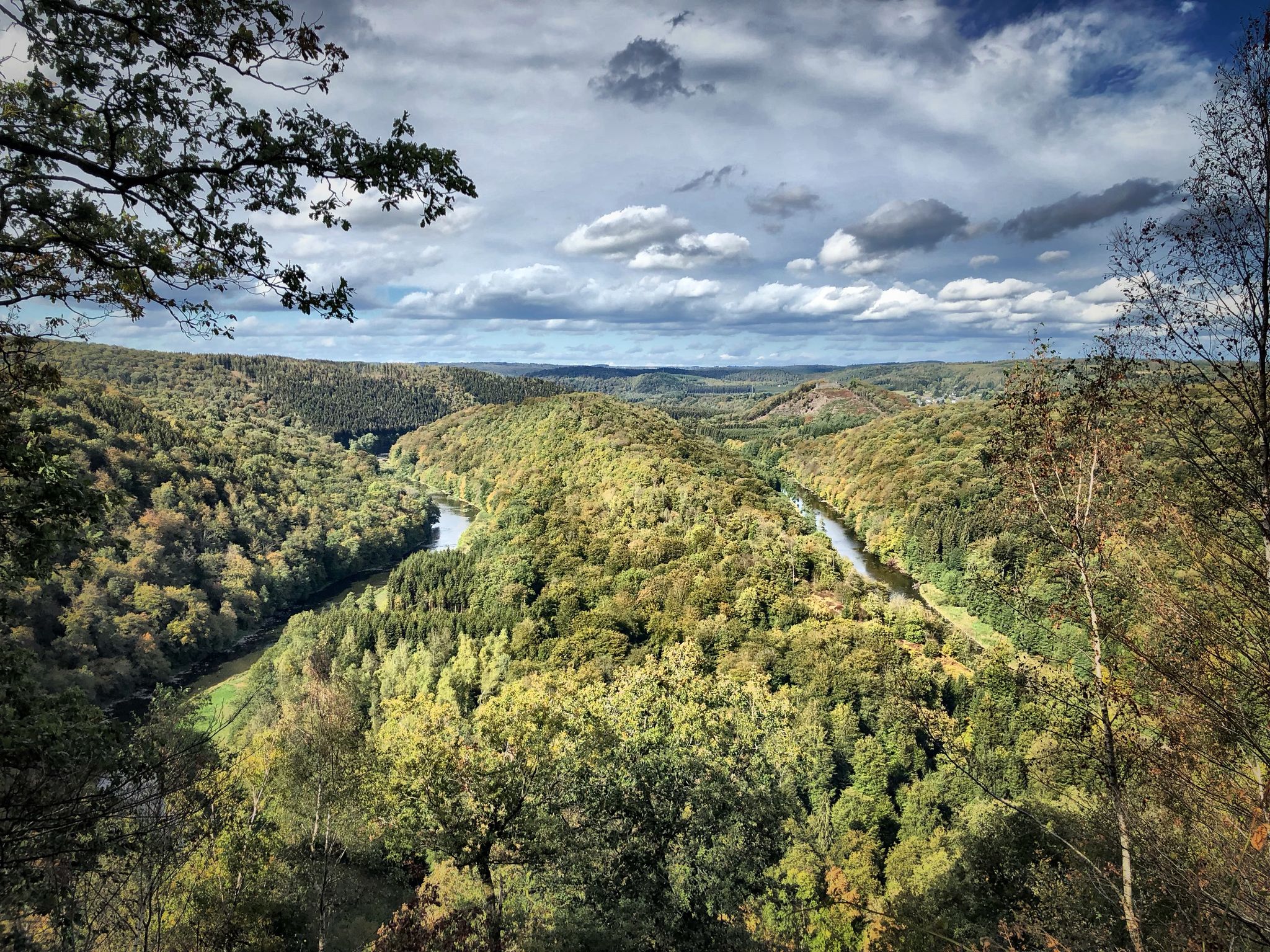
Running an ultra in Belgium – long trails in a small country

Naples to North Cape — Two friends, one purpose and many scoops of ice-cream
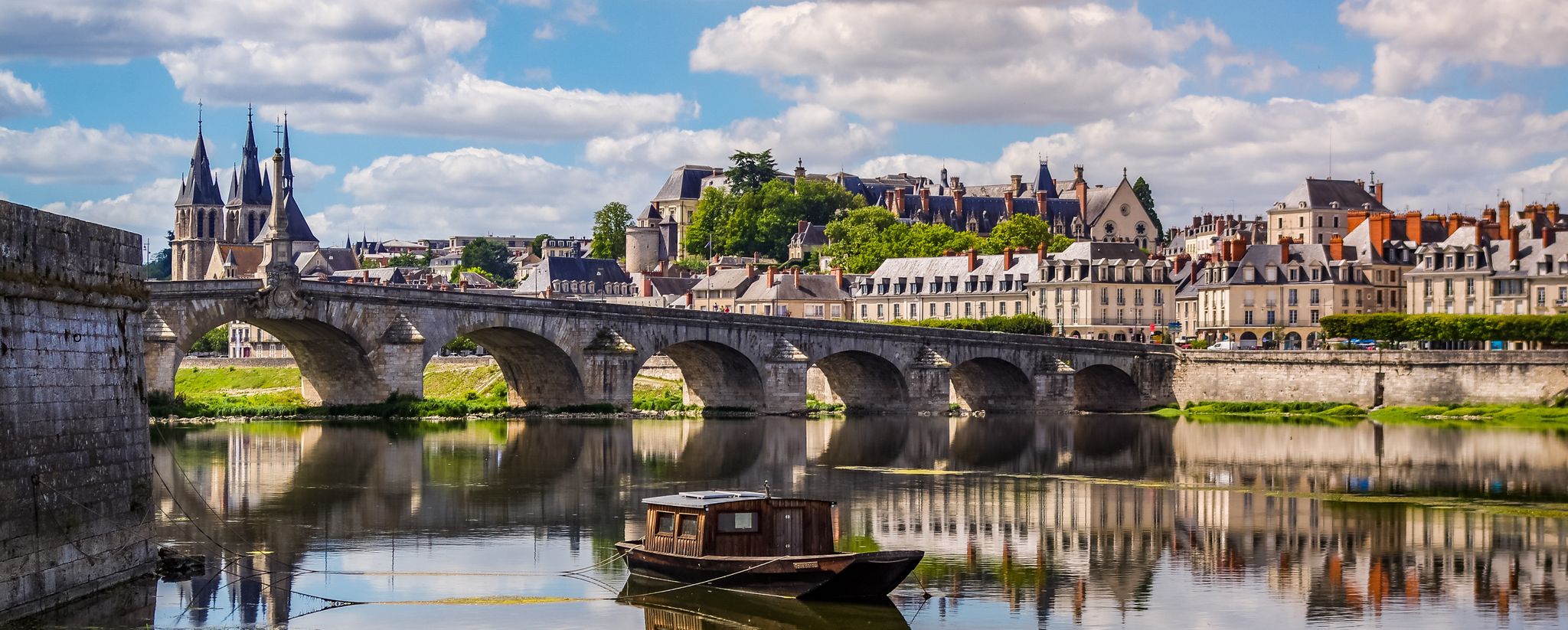
EuroVelo 3 – A cycling pilgrimage from Norway to France
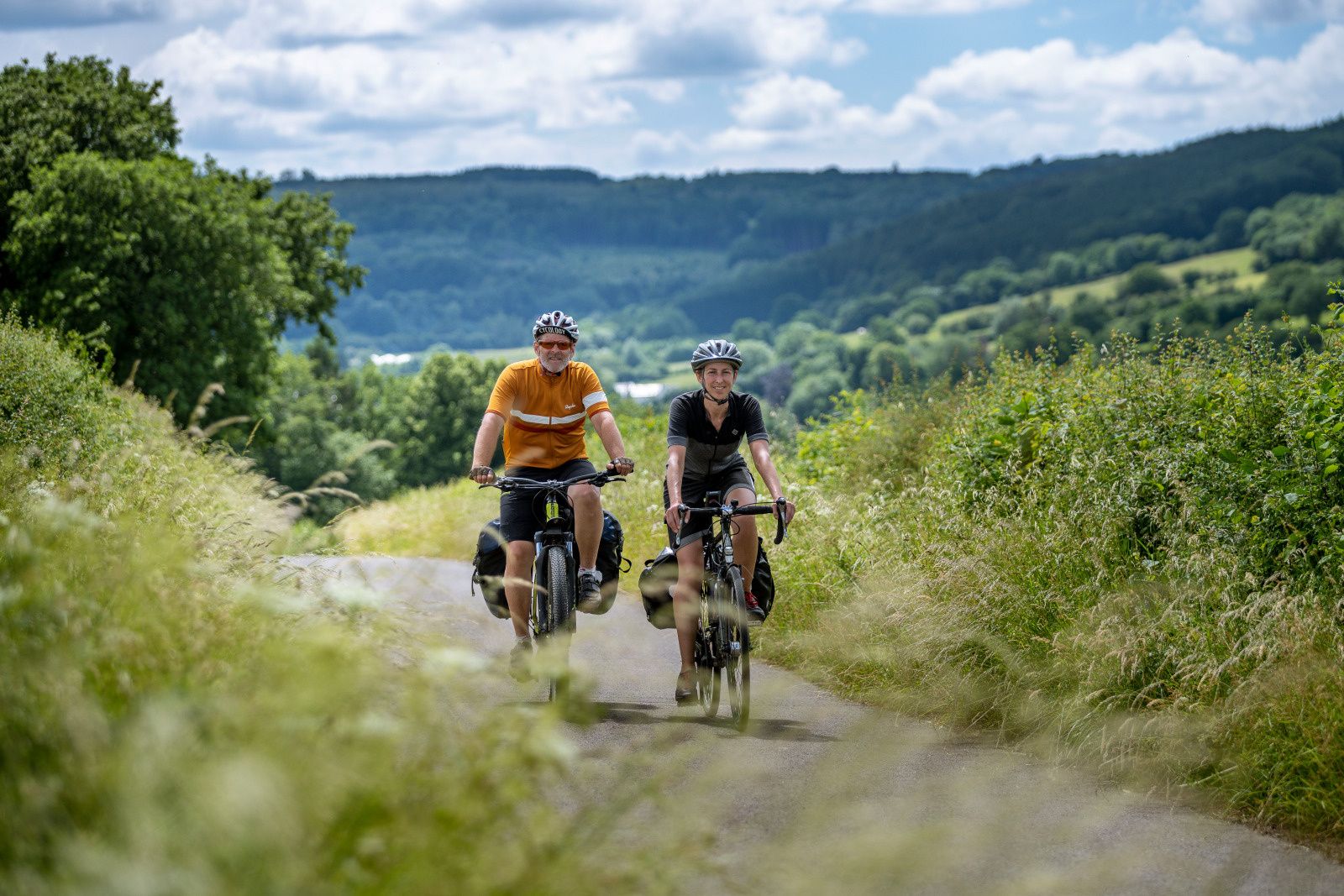
The most beautiful bike rides in Wallonia – pure nature and culture
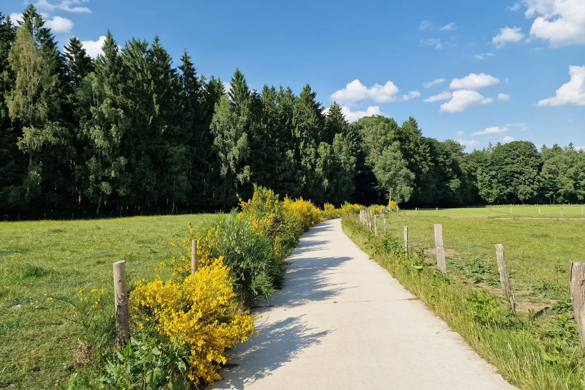
RAVeL W7 — On the road of the Ardennes
Other adventures in Wallonia


Tips from the Community

The MN18 Observation Bunker is part of the first line of defense of the Position Fortifiée de Liège (PFL), a network of bunkers built in the 1930s to defend Belgium against a German invasion. MN18 was the 18th bunker in the Margarins-Neufchâteau sector and equipped with an FM turret, recognizable by its tapered shape. During the German attack in May 1940, the bunker was destroyed by a 50 kg shaped charge placed on top of the turret, just where the periscope was located. The damage is still visible, making MN18 a tangible reminder of World War II. Right next to the bunker is the Knuppelstock orientation table, an impressive work of blue limestone with a diameter of 1.5 meters and weighing approximately one ton. The relief of the surrounding landscape is engraved on it based on data from the National Geographic Institute, with bronze details indicating the visible points. The table is also accessible for the visually impaired thanks to its tactile elements. The project, carried out by local organizations such as Qualité-Village-Wallonie and the municipality of Aubel, is unique in Belgium.
11
0

At this point, history and landscape converge. The MN18 observation bunker, a silent witness to the Second World War, still stands as a reminder of a turbulent period. From the bunker, you also have a unique view of the surrounding hilly landscape. Next to the bunker is the Knuppelstock orientation table, a platform that indicates the names and directions of villages, hills, and landmarks in the area. It's an ideal spot to get to know the region better and to enjoy a panoramic view of the border area between the Netherlands and Belgium.
4
0

The Tombeau du Géant is a hill formed by a meander of the Semois River. The hill is located on the left bank of the Semois, a few kilometers downstream from Bouillon. The Tombeau du Géant, a listed Natural Monument, is one of the most famous and most photographed locations in the Belgian Ardennes and the Semois Valley. The most popular viewpoint is near the village of Botassart, about 450 meters as the crow flies from the Semois and about 140 meters above the river. It offers a view of the river's meander around a well-preserved wooded hill that ends at an altitude of 250 meters. (Wikipedia)
12
0

Beautiful panorama and quite a bit of elevation. 😅 😉
9
0

Mont-Saint-Aubert is the name of the small town and the hill on which it is located. Two roads lead to the summit, but there is a whole network of cool trails for running in the great outdoors.
6
0

nice goal 3 countries point! coffee and on
2
0

Church and hotel, with a beautiful view if the weather is good. 144 m, finally a climb of 10%
8
0

This is called 'the climb' from the Netherlands, but this segment on Komoot is in the direction of descent. Not a big deal, but you should see it when you are creating a route.
3
0
Frequently Asked Questions
Which mountain peaks in Wallonia offer the best panoramic views?
For breathtaking panoramic views, consider visiting Croix Scaille, home to the 42-meter high Tour du Millénaire observation tower, which offers expansive 30-kilometer vistas over the Belgian and French Ardennes forests. Another excellent spot is the View of the High Fens from the Signal de Botrange, where you can see the unique moorland and peat bogs. The Tombeau du Géant viewpoint also provides a spectacular view of a bend in the Semois river, classified as 'exceptional heritage of Wallonia'.
Are there family-friendly mountain peaks or trails in Wallonia?
Yes, several peaks and areas are suitable for families. The Signal de Botrange, as the highest point in Belgium, is located within the High Fens nature reserve and features many hiking trails with wooden boardwalks, making them accessible for families. The Signal de Botrange – Highest Point of Belgium highlight itself is family-friendly. Additionally, the Vaalserberg Three-Country Point is a popular family destination with amenities and an observation tower.
What kind of outdoor activities can I do near Wallonia's mountain peaks?
Wallonia's mountain peaks offer a wide range of outdoor activities. You can enjoy extensive hiking, cycling, and even winter sports. For hiking, explore routes in the High Fens near Signal de Botrange, or discover the 'walk of the Fagne Sacrawe' near Baraque de Fraiture. Cycling enthusiasts can find routes like the 'High Fens route' or the 'RAVeL Eau d'Heure Lakes Tour'. For more ideas, check out the Hiking in Wallonia and Cycling in Wallonia guides.
Which mountain peaks are best for winter sports in Wallonia?
Baraque de Fraiture is particularly renowned for its ski slopes, making it a popular winter sports destination for skiing, snowboarding, sledding, and cross-country skiing when snow conditions permit. The Signal de Botrange area also transforms into a snowy landscape in winter, popular for cross-country skiing and winter walks.
Are there any historical sites or landmarks associated with Wallonia's mountain peaks?
Yes, several peaks have historical significance. Croix Scaille holds historical importance as a hotbed for Maquis resistance fighters during World War II, with trails allowing visitors to explore the region's wartime past. The Vaalserberg Three-Country Point is a historical border meeting point for Belgium, Germany, and the Netherlands. The Baltia Hill – Highest Point of Belgium also has historical context related to its observation tower.
What natural features can I expect to see when visiting Wallonia's peaks?
You can expect to see diverse natural features. The Signal de Botrange is situated in the vast High Fens nature reserve, featuring unique moorland, peat bogs, and pine forests, as well as the Bayehon waterfall on some routes. Near Croix Scaille, you can explore peaty moors in the 'Fange de l'Abîme' nature reserve. The region also offers panoramic viewpoints and river valleys, such as the one seen from the Tombeau du Géant viewpoint overlooking the Semois.
Where can I find challenging hiking routes near Wallonia's mountain peaks?
For challenging hikes, consider routes in the High Fens area, especially those that explore the diverse terrain around Signal de Botrange. The Waterfall hikes in Wallonia guide includes routes like 'Panoramic views, rocks and torrents in Xhoffraix - Belgian Ardennes' which is rated as difficult. The Mont-Saint-Aubert also offers challenging climbs and beautiful panoramas.
Are there cafes or facilities available near the mountain peaks?
Yes, some peaks offer facilities. Signal de Botrange has an adjacent café right at the summit. Baraque Michel, while a hut, also provides restaurant services and parking, making it a convenient stop for visitors exploring the High Fens area.
What is the highest point in Wallonia and Belgium?
The highest point in both Wallonia and Belgium is the Signal de Botrange, which stands at 694 meters. A distinctive feature is the Butte Baltia, an observation tower that allows visitors to reach an symbolic altitude of 700 meters and offers panoramic views over the unique moorland.
What makes the Vaalserberg a notable peak in the Wallonia region?
The Vaalserberg Three-Country Point is notable as the meeting point of Belgium, Germany, and the Netherlands, and it is also the highest point in the Netherlands. It features an observation tower providing unobstructed views of the three countries and is a popular destination for its unique geographical significance.
Can I find circular hiking routes around Wallonia's mountain peaks?
Yes, circular routes are available. For instance, near Signal de Botrange, you can find 'Botrange's great fen loop,' which is a moderate 8.5 km hike. The 'Hoëgne and Statte Valleys Loop' is another moderate circular route of about 14.6 km, offering diverse scenery. Many trails in the region are designed as loops to allow for comprehensive exploration.
Most popular routes in Wallonia
Most popular attractions in Wallonia

Get inspired with the komoot mobile app


Explore more
See even more amazing summits in Wallonia with these guides:
