Easy hikes and walks around Hürtgenwald
4.5
(11006)
38,399
hikers
399
hikes
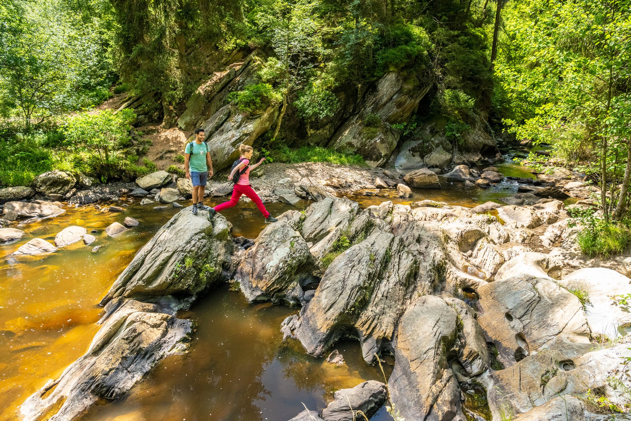
Easy hiking trails around Hürtgenwald traverse a landscape characterized by dense forests, rolling hills, and deep valleys. The region, situated at the northern edge of the Eifel mountains, features varied terrain including the narrow, forested Kall Valley and the banks of the Rur River. Hikers can also find routes offering views of reservoirs such as the Wehebachtalsperre and Obermaubach Reservoir. This diverse environment provides numerous options for accessible outdoor exploration.
Best easy hiking trails around Hürtgenwald
- The most popular easy…
Last updated: July 6, 2026
4.6
(346)
1,148
hikers
7.10km
01:59
140m
140m
Easy hike. Great for any fitness level. Easily-accessible paths. Suitable for all skill levels.
4.6
(117)
422
hikers
Easy hike. Great for any fitness level. Easily-accessible paths. Suitable for all skill levels.

Sign up for free
4.7
(135)
416
hikers
6.12km
01:41
100m
100m
Easy hike. Great for any fitness level. Easily-accessible paths. Suitable for all skill levels.
4.8
(69)
323
hikers
Easy hike. Great for any fitness level. Easily-accessible paths. Suitable for all skill levels.
4.6
(71)
246
hikers
3.77km
01:04
80m
80m
Easy hike. Great for any fitness level. Easily-accessible paths. Suitable for all skill levels.
Get access to more routes and recommendations from other explorers.
Sign up for free
Already have an account?
Our route recommendations are based on thousands of hikes, rides, and runs completed by other people on komoot.
Start today with a free account
Your next adventure awaits.
Login or Signup
Popular around Hürtgenwald

Other adventures around Hürtgenwald


Tips from the Community


Here are popular paths and hiking routes in and around the Schlangenberg nature reserve (Germany North Rhine-Westphalia) including various options for distance and difficulty: 🌲 1. Schlangenberg Nature Reserve – round tours • Round tour from Vicht: ±7.9 km, approx. 2 hr 10 min. average level. Beautiful paths through the reserve with slight elevation changes. • Round tour from Zweifall: ±9.9 km, approx. 2 hr 40 min, average level. Longer hike with views of streams, ponds, and forest landscape. • Vichter forest path – shorter loop: ±5.6 km, easy to walk, suitable for a relaxing stroll. 👉 These routes partly run over well-maintained unpaved paths and gravel paths that wind through nature. 🌼 2. Breinig Hike (BR2) • Breinig Circular Route BR2: ±6.9 km, average level. Beautiful loop through the reserve and surrounding nature with slight elevation changes. 🌳 3. Small loop – Small Forest Loop • Small forest walk near Schlangenberg: ±1.8 km (1.1 miles), easy and ideal for a short nature walk, suitable for everyone and lovely for a half-hour to an hour's walk. 📍 Tips for hikes ✔ The paths in the Schlangenberg nature reserve are generally marked and well-maintained with both short and longer options. ✔ Check GPX tracks or maps in advance via hiking sites/apps like Komoot or RouteYou if you want to follow the exact route. ✔ As Schlangenberg is located in a protected nature area (Naturpark Hohes Venn-Eifel), it is important to stay on the paths and respect any rules.
1
0
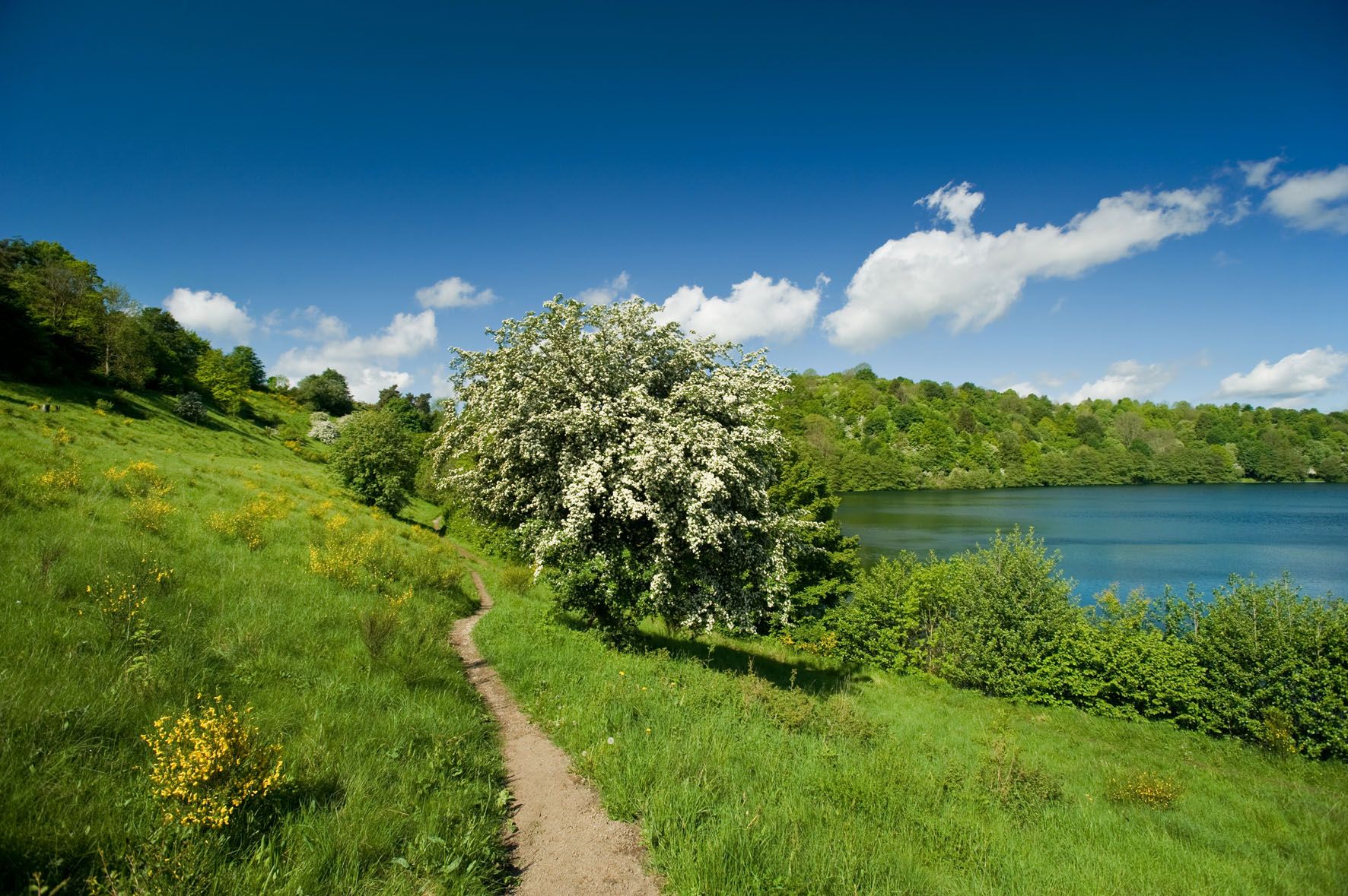
The Schlangenberg is a unique section of the Copper Route, where walking is not only a journey through the landscape but also through history. As the path winds slowly across the open slopes, you literally walk on soil shaped by centuries of mining. It is precisely this industrial legacy that has created a unique nature reserve here. The Schlangenberg is best known for its rare calamine flora, a plant world adapted to soils with high concentrations of heavy metals. Along the Copper Route, you will see how this delicate vegetation gives the terrain its own unique character: low-growing vegetation, subtle colors, and a strikingly open landscape that contrasts sharply with the surrounding forests. During the flowering season, small, specialized plants color the slopes and illustrate why this area is strictly protected. The route itself is peaceful and uncluttered, with wide views of the Eifel foothills and Stolberg in the distance. The absence of tall vegetation creates an almost rugged, steppe-like feel, where wind and light have free rein. Information signs along the way connect nature and mining, adding depth to the walk. The Schlangenberg on the Copper Route isn't a place for spectacle, but for attention. A section where you slow down and appreciate how nature manages to survive even under extreme conditions, making it one of the route's most distinctive sections.
0
0

I still find it amazing that these bunkers are still so well preserved after all these years. The writing on the exterior of many of them is still visible. The Buhlert is definitely worth a visit.
0
0
Well preserved and located almost directly on the hiking trail
0
0

A rather lush insect hotel :)
0
0

The heath at Struffelt is beautiful at any time of the year
0
0
Frequently Asked Questions
How many easy hiking trails are available in Hürtgenwald?
Hürtgenwald offers a wide selection of easy hiking trails, with over 230 routes specifically categorized as easy. In total, there are more than 400 hiking tours available in the region, catering to various fitness levels.
What kind of landscapes can I expect on easy hikes in Hürtgenwald?
Easy hikes in Hürtgenwald traverse a diverse landscape characterized by dense forests, rolling hills, and deep valleys. You can expect tranquil paths along the Kall River and its tributaries, scenic routes along the Rur River, and breathtaking views of reservoirs like the Wehebachtalsperre and Obermaubach Reservoir. The region also features areas like the Struffelt Heath and Moor Nature Reserve.
What is the best time of year for easy hiking in Hürtgenwald?
The best seasons for easy hiking in Hürtgenwald are spring and autumn. During spring, the weather is mild and wildflowers are in bloom, while autumn offers spectacular leaf colors. These seasons provide comfortable temperatures and vibrant natural scenery for your walks.
Are there easy trails that pass by historical sites or landmarks?
Yes, Hürtgenwald's easy trails offer opportunities to explore historical sites. For instance, the Buhlert Bunkers – Bunker 132 (Westwall) loop from Senkelbachquellen leads through wooded terrain with historical points of interest related to World War II. The region itself was the site of the Battle of Hürtgen Forest, and you can find attractions like the Hürtgenwald 1944/1945 Documentation Centre/Museum nearby. Other historical landmarks in the broader area include Merode Castle and the Marienbildchen Monastery Church.
What do other hikers say about the easy trails in Hürtgenwald?
The easy trails in Hürtgenwald are highly regarded by the komoot community, holding an average rating of 4.5 stars from over 9,000 reviews. More than 35,000 hikers have explored the varied terrain, often praising the well-maintained paths, the peaceful forest environments, and the scenic views of the valleys and reservoirs.
Are there easy circular routes in Hürtgenwald?
Yes, many of the easy hiking trails in Hürtgenwald are designed as circular routes, allowing you to start and end at the same point. A popular option is the Schleebachgraben Trail – Bridge over the Dreilägerbach loop from Roetgen, which is a 7.4 km (4.6 miles) loop featuring gentle elevation changes through forested areas.
Are the easy hiking trails in Hürtgenwald suitable for families with children?
Absolutely. The easy hiking trails in Hürtgenwald are generally well-suited for families with children due to their gentle elevation changes and well-maintained paths. Routes like the Struffelt Boardwalk – Struffelt Heath loop from Roetgen offer shorter distances and interesting natural features that can keep younger hikers engaged.
Can I bring my dog on easy hikes in Hürtgenwald?
Most easy hiking trails in Hürtgenwald are dog-friendly, allowing you to enjoy the natural beauty with your canine companion. It's generally recommended to keep dogs on a leash, especially in nature reserve areas or when encountering wildlife, to ensure the safety and enjoyment of all trail users and local fauna.
Are there easy trails with viewpoints or scenic spots?
Yes, Hürtgenwald offers several easy trails with rewarding viewpoints. You can find routes that provide expansive views over the Wehebachtalsperre and Obermaubach Reservoir. Additionally, the Krawutschketurm observation tower offers breathtaking panoramic views of the countryside, and highlights like the Kaiserfelsen (Emperor Rock) provide scenic vistas.
Are there easy trails that pass by water features like lakes or rivers?
Many easy trails in Hürtgenwald feature beautiful water elements. The Kall Valley offers paths along the Kall River and its idyllic tributaries. You can also find routes that lead to or around reservoirs such as the Wehebachtalsperre and Obermaubach Reservoir. Highlights like Struffelt Pond, Forebay of the Dreilägerbach Reservoir, and Kall Reservoir are accessible via various trails.
Are there easy trails that lead through nature reserves?
Yes, Hürtgenwald is home to nature reserves that are accessible via easy trails. For example, the Vichter Forest Path – Schlangenberg Nature Reserve loop from Schlangenberg is a 5.6 km (3.5 miles) trail that takes you through forest and nature reserve areas, offering a chance to experience the region's protected flora and fauna.
Are there places to stop for a break or find shelter along the easy trails?
While hiking in Hürtgenwald, you can find various huts and shelters that offer a place to rest. Highlights include the Smugglers' Shelter Schilsbachtal, Waldesruh Cabin, and Andreashütte. These provide convenient spots for a break, especially during longer walks.
Most popular routes around Hürtgenwald
Most popular attractions around Hürtgenwald

Get inspired with the komoot mobile app


Explore more
Browse the best Hikes in other regions.
