Easy hikes and walks around Großer Müllroser Lake
4.7
(2013)
6,608
hikers
220
hikes
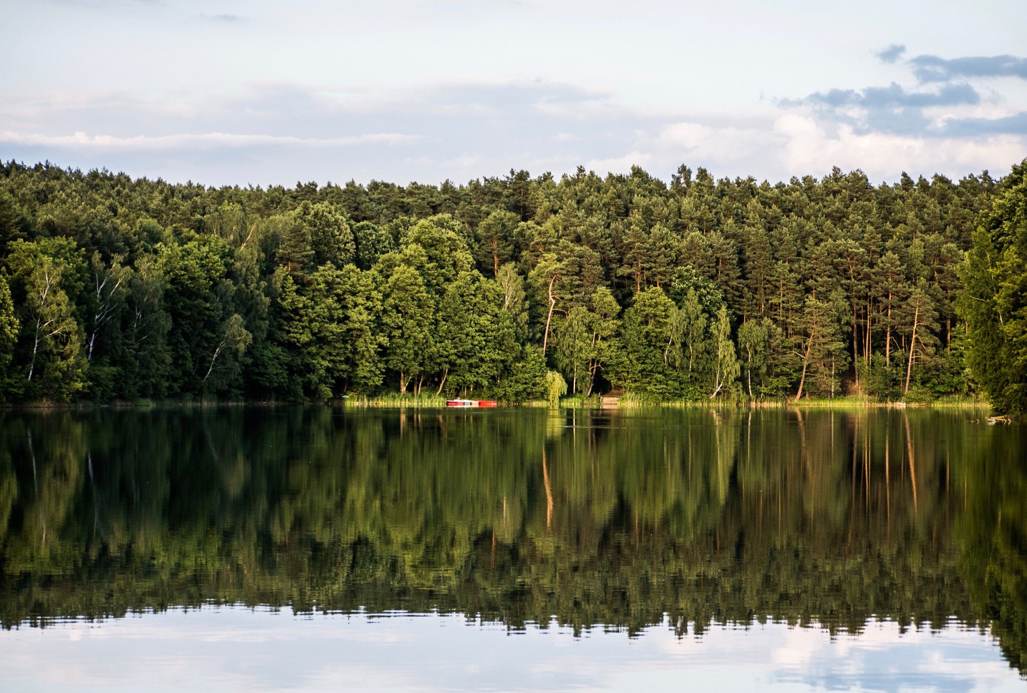
Easy hiking trails around Großer Müllroser Lake traverse a landscape shaped by the last glacial period, featuring the lake itself as the largest body of water in the Schlaube Valley Nature Park. The area is characterized by dense forests, open fields, and smaller lakes, with the Schlaube River flowing through a scenic tunnel valley. Gentle hills and clear streams contribute to the region's natural harmony, offering varied terrain for hikers.
Best easy hiking trails around Großer Müllroser Lake
- The most…
Last updated: June 30, 2026
3.5
(2)
21
hikers
Easy hike. Great for any fitness level. Easily-accessible paths. Suitable for all skill levels.
4.0
(1)
20
hikers
Easy hike. Great for any fitness level. Easily-accessible paths. Suitable for all skill levels.

Sign up for free
4.0
(2)
15
hikers
5.47km
01:23
10m
10m
Easy hike. Great for any fitness level. Easily-accessible paths. Suitable for all skill levels.
4.3
(3)
15
hikers
Easy hike. Great for any fitness level. Easily-accessible paths. Suitable for all skill levels.
5.0
(2)
12
hikers
Easy hike. Great for any fitness level. Easily-accessible paths. Suitable for all skill levels.
Get access to more routes and recommendations from other explorers.
Sign up for free
Already have an account?
Our route recommendations are based on thousands of hikes, rides, and runs completed by other people on komoot.
Start today with a free account
Your next adventure awaits.
Login or Signup
Popular around Großer Müllroser Lake
Other adventures around Großer Müllroser Lake

Tips from the Community

Well-maintained promenade by the lake with benches.
1
0

Beautiful photo opportunity right on the lake.
0
0

A view of Lake Katharinensee, surrounded by an old legend about a heartless lady of the manor who sank into the lake. The lake is connected to the Oder-Spree Canal via the Katharinengraben canal and is a popular destination for paddlers.
1
0

Very nice old building and a nice path (gravel bike)
1
0

Saturn in Berlin Köpenick is quite good 👍
0
0
Unfortunately it is dismantled in winter, but you don't drink coffee on the bench when it's minus 7 degrees.
0
0


On the Müllrose Planet Trail, you can explore the solar system. Due to the scale of 1:1 billion, you move through the solar system at four times the speed of light. The path through the solar system is marked with an information sign. The scaled distances between the individual objects refer to the straight line distance, not the distance traveled on foot. At each location, you will find information about the respective celestial body, shown to scale. Further information can be obtained using the QR code on the information boards. The sun in the Müllrose town hall courtyard, as the central star of the solar system, is also the starting point of the Planet Trail. Leave the town hall courtyard through the rear gate and first turn left onto the educational and hiking trail. The planets Mercury, Venus, Earth (with the moon), and Mars can also be found in the Müllrose urban area. The dwarf planet Ceres can also be found in the Schützenpark. The Müllroser Planet Trail is approximately 8 km long and ends at the Ragow Mill cultural barn. More information: https://www.seenland-oderspree.de/tour/muellroser-planetenweg
1
0
Frequently Asked Questions
How many easy hiking trails are available around Großer Müllroser Lake?
The region around Großer Müllroser Lake offers a wide selection of routes, with over 110 easy hiking trails to explore. In total, there are more than 220 routes available, catering to various preferences and skill levels.
What natural features or landmarks can I see on easy hikes around Großer Müllroser Lake?
Easy hikes around Großer Müllroser Lake offer views of the lake itself, which is the largest body of water in the Schlaube Valley Nature Park. You'll encounter dense forests, open fields, and smaller idyllic lakes. The Schlaube River flows through the scenic Schlaube Valley, a unique tunnel valley formed during the last glacial period. You might also spot the small island of Fischerwerdel, also known as "Liebesinsel," a resting spot for water birds. For a specific route that highlights the lake's shores, consider the Beach at Großer Müllroser See – Great Müllroser Lake loop from Müllrose.
Are there easy circular hiking routes around Großer Müllroser Lake?
Yes, there are several easy circular routes. A popular option is the 9-kilometer circular trail around Großer Müllroser Lake, offering magnificent views. Another great choice is the Water wheel in Müllrose – Katharinengraben loop from Müllrose, which takes you through the Müllrose area and along the Katharinengraben. The Great Müllroser Lake – Lakeside Path at Schlaubetal loop from Müllrose also provides a pleasant circular experience along the lake.
Are the easy hiking trails around Großer Müllroser Lake suitable for families?
Many of the easy hiking trails are well-suited for families, featuring gentle terrain and scenic views. The 9-kilometer circular path around Großer Müllroser Lake is generally suitable for all skill levels. Additionally, the Beach at Großer Müllroser See – Great Müllroser Lake loop from Müllrose is a shorter, easy option that passes by sandy areas, which can be enjoyable for children. The western beach of Großer Müllroser Lake is particularly family-friendly with a shallow area and a water slide.
Can I bring my dog on the easy hiking trails around Großer Müllroser Lake?
Generally, dogs are welcome on many of the hiking trails around Großer Müllroser Lake. However, it's always advisable to keep your dog on a leash, especially in nature reserve areas or near wildlife. Be mindful of local regulations and other hikers. The varied terrain of forests and open paths provides a good environment for walks with your canine companion.
What do other hikers enjoy the most about hiking in Großer Müllroser Lake?
The area is highly rated by the komoot community, with an average score of 4.7 stars from over 2,200 reviews. Hikers often praise the sparkling water, reed-lined shores, and dense forests within the glacial tunnel valley. The tranquility and natural harmony of the landscape, combined with well-maintained paths, are frequently highlighted as key attractions.
Are there any historical sites or points of interest along the easy trails?
Yes, the area offers several points of interest. The historic Müllrose Mill, first documented in 1275, is located on the northern shore of the lake and is still in use today. Portions of the Müllroser Planetenweg (Planet Path) also run along the lake, offering an educational experience. The town of Müllrose itself has historic charm and was a popular summer retreat.
What is the best time of year to hike around Großer Müllroser Lake?
Großer Müllroser Lake is beautiful year-round, but the best time for hiking is typically from spring to autumn. During these seasons, the weather is generally mild, and the natural landscape is vibrant. Summer offers opportunities for swimming at the lake's beaches, while autumn provides stunning foliage. Even in winter, the trails can be enjoyed, though conditions may vary.
Is parking available near the easy hiking trails?
Yes, parking is generally available in and around Müllrose, which serves as a common starting point for many trails. Specific parking areas are often located near popular trailheads or attractions like the Müllrose market or the lake's lidos. It's recommended to check local signage for any parking fees or restrictions.
How can I reach the easy hiking trails around Großer Müllroser Lake by public transport?
Müllrose is accessible by public transport, making it convenient to reach the easy hiking trails. The town has bus connections that can link you to nearby train stations. Once in Müllrose, many trails, including the circular path around the lake, are easily accessible on foot from the town center. For example, the Abandoned FAUN Crane Truck – View of the Schlaube River loop from Müllrose starts directly from Müllrose.
Are there places to swim or relax near the easy hiking trails?
Absolutely. Großer Müllroser Lake features public lidos and sandy beaches on both its eastern and western shores, providing excellent opportunities for swimming and relaxation, especially during warmer months. The western beach is particularly family-friendly. Many easy trails, such as the Old Wooden Dock, Schlaubetal – Beach at Großer Müllroser See loop from Müllrose, will bring you close to these amenities.
Most popular routes around Großer Müllroser Lake
Most popular attractions around Großer Müllroser Lake

Get inspired with the komoot mobile app


Explore more
Browse the best Hikes in other regions.
