Easy hikes and walks around Geiseltalsee
4.6
(2486)
9,588
hikers
494
hikes
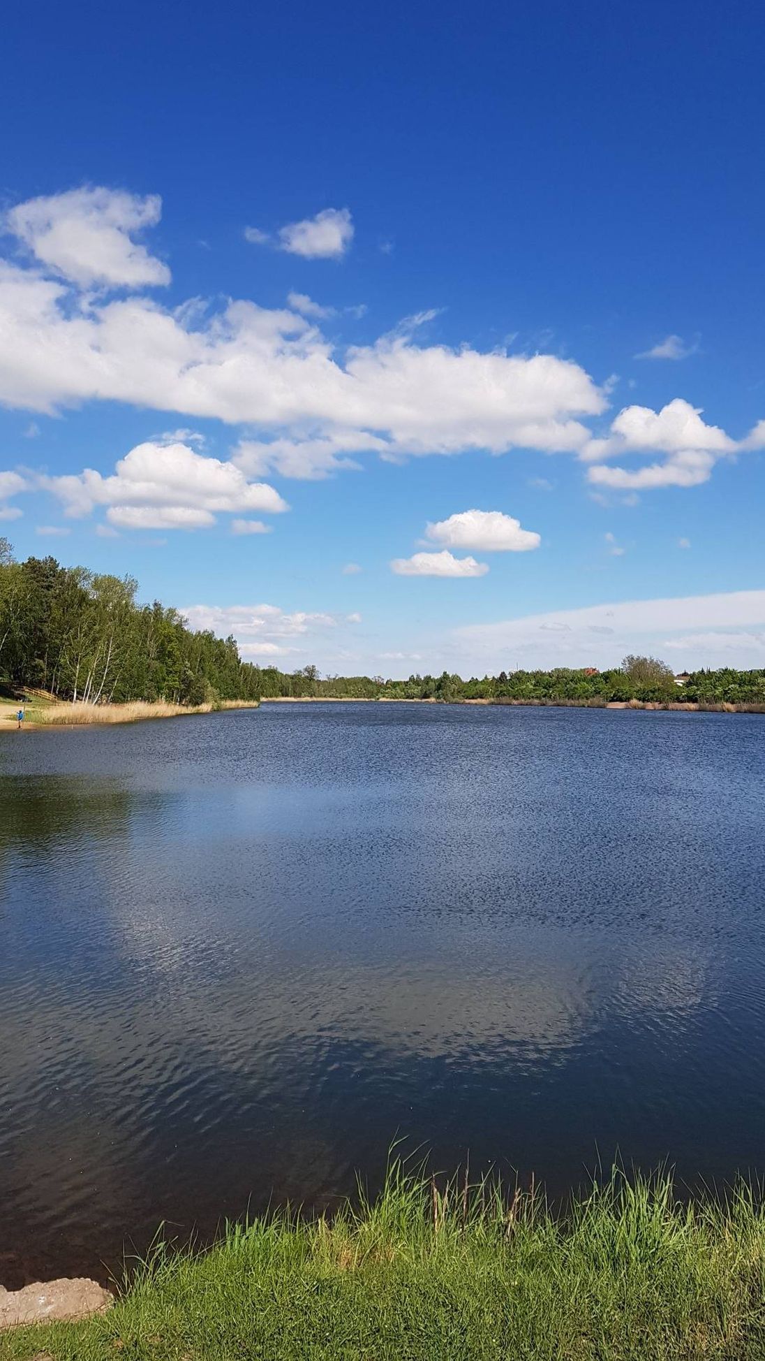
Easy hiking trails around Geiseltalsee explore Germany's largest artificial lake, formed from a former lignite opencast mine. The landscape features a unique post-mining topography, including dump forests, loess escarpments, grasslands, and reedbeds. Hikers will find expansive waters, sandbanks, and a vineyard on the slopes, offering diverse natural habitats and scenic views. The area is also designated as a nature reserve, providing opportunities to experience a regenerated ecosystem.
Best easy hiking trails around Geiseltalsee
- The most popular easy hiking route is Vineyard – Halde Klobikau loop from KM 5,0, a 4.0 miles (6.4 km) trail that takes 1 hour 44 minutes to complete. This route offers views of the vineyard and the surrounding post-mining landscape.
- Another top favourite among local hikers is Geiseltal Lake – Lakeside promenade at Geiseltalsee loop from Stöbnitz, an easy 2.7 miles (4.4 km) path. This trail follows the lakeside promenade, providing continuous views across the water.
- Local hikers also love the Lakeside promenade at Geiseltalsee – Pauline Lookout Tower loop from Mücheln (Geiseltal), a 2.9 miles (4.7 km) trail leading through lakeside areas and to an observation point, often completed in about 1 hour 14 minutes.
- Hiking around Geiseltalsee is defined by its expansive lake views, regenerated post-mining landscapes, and vineyard slopes. The network offers options for different ability levels, including an extensive circular path around the lake.
- The routes in Geiseltalsee are highly rated by the komoot community with an average score of 4.6 stars from over 2300 reviews. More than 9000 hikers have used komoot to explore Geiseltalsee's varied terrain.
Last updated: June 30, 2026
4.5
(76)
267
hikers
6.14km
01:40
90m
90m
Easy hike. Great for any fitness level. Easily-accessible paths. Suitable for all skill levels.
4.6
(25)
160
hikers
Easy hike. Great for any fitness level. Easily-accessible paths. Suitable for all skill levels.

Sign up for free
4.6
(26)
164
hikers
Easy hike. Great for any fitness level. Easily-accessible paths. Suitable for all skill levels.
4.9
(10)
68
hikers
7.40km
01:54
30m
30m
Easy hike. Great for any fitness level. Easily-accessible paths. Suitable for all skill levels.
4.3
(6)
53
hikers
Easy hike. Great for any fitness level. Easily-accessible paths. Suitable for all skill levels.
Get access to more routes and recommendations from other explorers.
Sign up for free
Already have an account?
Our route recommendations are based on thousands of hikes, rides, and runs completed by other people on komoot.
Start today with a free account
Your next adventure awaits.
Login or Signup


Tips from the Community

Highly recommended for relaxation
2
0

Good wine and beautiful view from the vineyard at Geiseltalsee.
0
0

Very nice corner for cycling or walking
0
0

Rest areas for pilgrims on the Via Regia.
1
0

what a beautiful landscape
0
0
You are welcome to stop here
0
0

A lovely place to stop for a break along the lakeside path. Wine and snacks are available.
0
0

Unfortunately still blocked.
0
0
Frequently Asked Questions
How many easy hiking trails are available around Geiseltalsee?
Geiseltalsee offers a wide selection of easy hiking trails, with over 350 routes specifically categorized as easy. This makes it an ideal destination for relaxed walks and exploring the regenerated landscape.
What kind of terrain can I expect on easy hikes around Geiseltalsee?
The easy trails around Geiseltalsee feature a unique post-mining topography that has evolved into a diverse landscape. You'll find a mix of dump forests, loess escarpments, grasslands, and reedbeds. Many paths, especially the extensive circular path around the lake, are well-maintained and suitable for various fitness levels.
Are there any family-friendly easy hikes at Geiseltalsee?
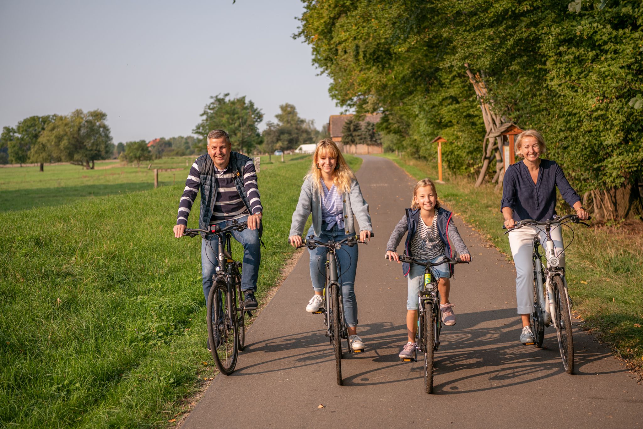
Yes, Geiseltalsee is very family-friendly. Many of the easy trails are suitable for all ages, including those with strollers. The approximately 29-kilometer asphalted circular path around the lake is particularly popular for families, offering continuous scenic views and connecting various points of interest. Attractions like the 'Im Urpferdchen' Maze also add to the family appeal.
Can I bring my dog on the easy hiking trails?
Yes, dogs are generally welcome on the hiking trails around Geiseltalsee. It's always recommended to keep your dog on a leash, especially in nature reserve areas or near wildlife habitats, as the lake is recognized for its exceptional flora and fauna, including 240 bird species.
What are some interesting natural attractions or viewpoints along the easy trails?
The region offers several natural attractions and viewpoints. You can explore the unique vineyard located on the slopes of Geiseltalsee, which provides picturesque scenery. For panoramic vistas, consider visiting the Leonhard Observation Tower or the Pauline Lookout Tower. The lake itself, with its expansive waters and sandbanks, is a significant natural habitat and a great spot for birdwatching. You can also visit the West Shore of Lake Geiseltal or the Geisel Riverbed.
Are there any circular easy walks around Geiseltalsee?
Yes, circular walks are a highlight of Geiseltalsee. The most prominent is the approximately 29-kilometer asphalted circular path that encircles the entire lake, offering continuous scenic views. Shorter circular options include the Vineyard – Halde Klobikau loop from KM 5,0, which is 4.0 miles (6.4 km), or the Geiseltal Lake – Lakeside promenade at Geiseltalsee loop from Stöbnitz, an easy 2.7 miles (4.4 km) path.
What is the best time of year to go easy hiking at Geiseltalsee?
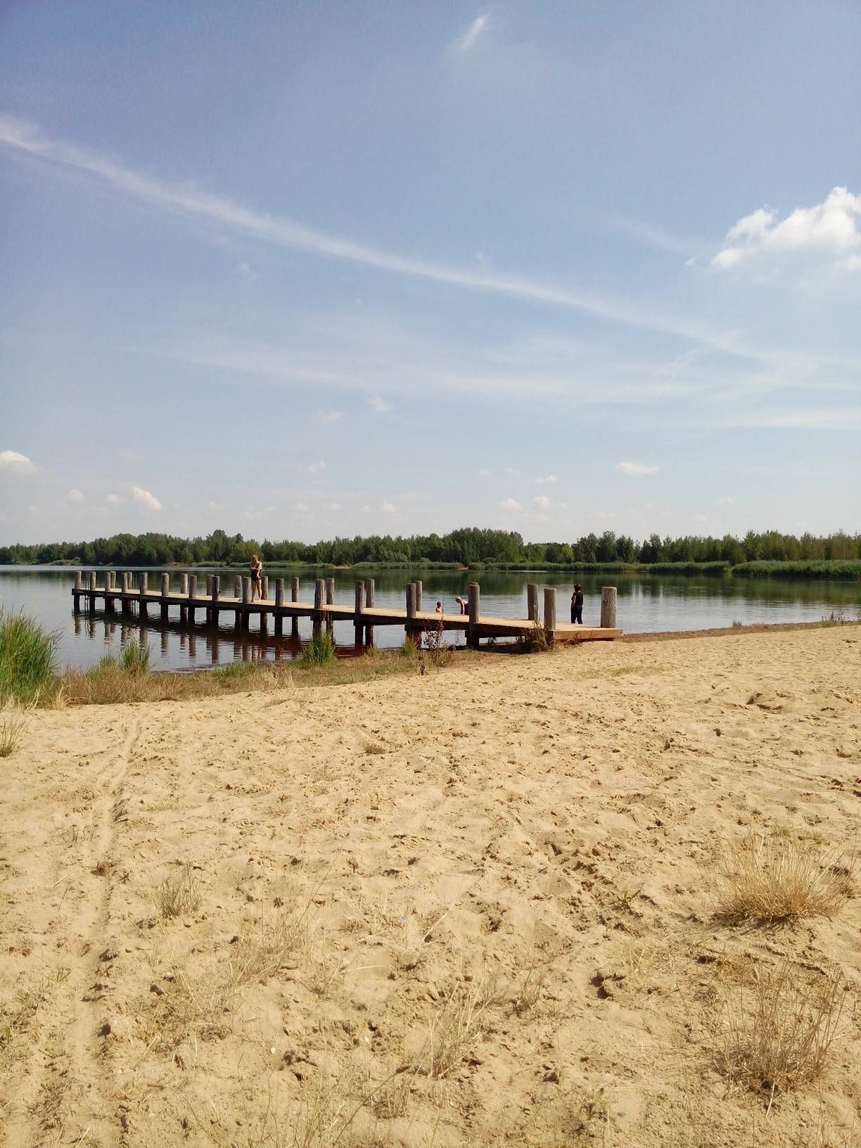
Geiseltalsee is suitable for hiking year-round, with each season offering a different charm. Spring brings blooming nature, while summer allows for combining hikes with water activities at places like Stöbnitz Beach. Autumn provides beautiful foliage, and even in winter, the serene landscape can be enjoyed on a crisp day. The well-maintained paths make it accessible in most conditions.
Where can I find parking for easy hiking trails around Geiseltalsee?
Parking is generally available at various access points around Geiseltalsee, especially in towns like Mücheln and near popular starting points for the circular path. Specific parking information is often detailed on individual route pages on komoot, so check the tour details for the trail you plan to hike.
Are there places to eat or drink near the easy hiking routes?
Yes, you'll find various amenities around Geiseltalsee. Towns like Mücheln, located along the lake, offer cafes, restaurants, and pubs where you can refresh yourself after a hike. The vineyard also provides opportunities to sample local wines, and some routes pass by these establishments.
What do other hikers enjoy most about easy hiking in Geiseltalsee?
The area is highly rated by the komoot community, with an average score of 4.6 stars from over 2300 reviews. Reviewers often praise the expansive lake views, the unique regenerated post-mining landscapes, and the well-maintained paths suitable for all abilities. The peaceful atmosphere and the opportunity for birdwatching are also frequently highlighted.
Are there any less crowded easy trails for a more tranquil experience?
While the main circular path can be popular, especially on weekends, exploring some of the smaller, less-trafficked paths that branch off into the 'dump forests' or loess escarpments can offer a more tranquil experience. Early mornings or weekdays are generally the best times to find quieter sections of any trail.
Can I access Geiseltalsee's easy hiking trails using public transport?
Yes, Geiseltalsee is accessible by public transport. Towns around the lake, such as Mücheln (Geiseltal), have train or bus connections, making it possible to reach various starting points for hikes without a car. The Lakeside promenade at Geiseltalsee – Pauline Lookout Tower loop from Mücheln (Geiseltal) is an example of a route easily accessible from a town center.
Most popular routes around Geiseltalsee
Most popular attractions around Geiseltalsee

Get inspired with the komoot mobile app


Explore more
Browse the best Hikes in other regions.
