The best walks and hikes around Kirchberg am Walde
4.6
(737)
3,971
hikers
286
hikes
Hiking around Kirchberg am Walde, located in the northern Waldviertel region of Lower Austria, offers a diverse landscape for outdoor enthusiasts. The area is characterized by forests, rolling hills, and unique natural features such as the Schrems High Moor. Elevations average around 575 meters above sea level, providing varied terrain for hiking trails. This region provides a tranquil escape with numerous routes suitable for different fitness levels.
Best hiking trails around Kirchberg am Walde
- The most popular hiking route is…
Last updated: July 2, 2026
4.7
(9)
15
hikers
8.45km
02:14
80m
80m
Moderate hike. Good fitness required. Easily-accessible paths. Suitable for all skill levels.
4.0
(5)
12
hikers
9.99km
02:38
90m
90m
Moderate hike. Good fitness required. Easily-accessible paths. Suitable for all skill levels.

Sign up for free
3.0
(1)
6
hikers
11.2km
03:00
130m
130m
Moderate hike. Good fitness required. Easily-accessible paths. Suitable for all skill levels.
5
hikers
Moderate hike. Good fitness required. Easily-accessible paths. Suitable for all skill levels.
5.0
(1)
5
hikers
17.3km
04:39
210m
210m
Moderate hike. Good fitness required. Easily-accessible paths. Suitable for all skill levels.
Get access to more routes and recommendations from other explorers.
Sign up for free
Already have an account?
Our route recommendations are based on thousands of hikes, rides, and runs completed by other people on komoot.
Start today with a free account
Your next adventure awaits.
Login or Signup
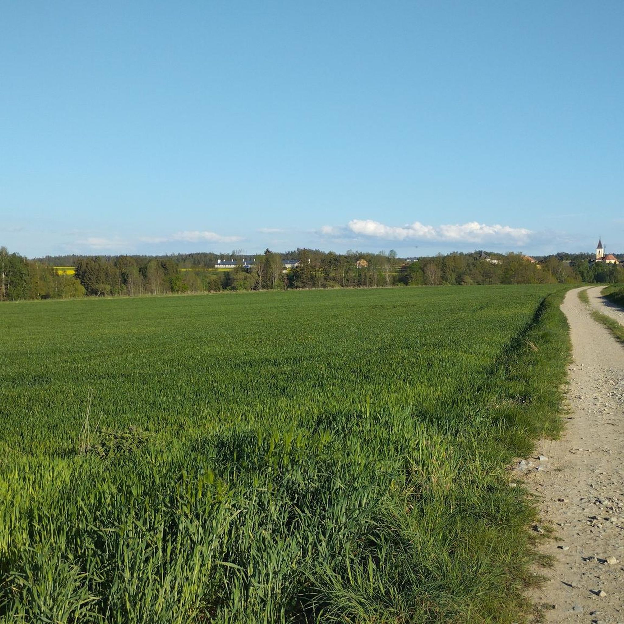
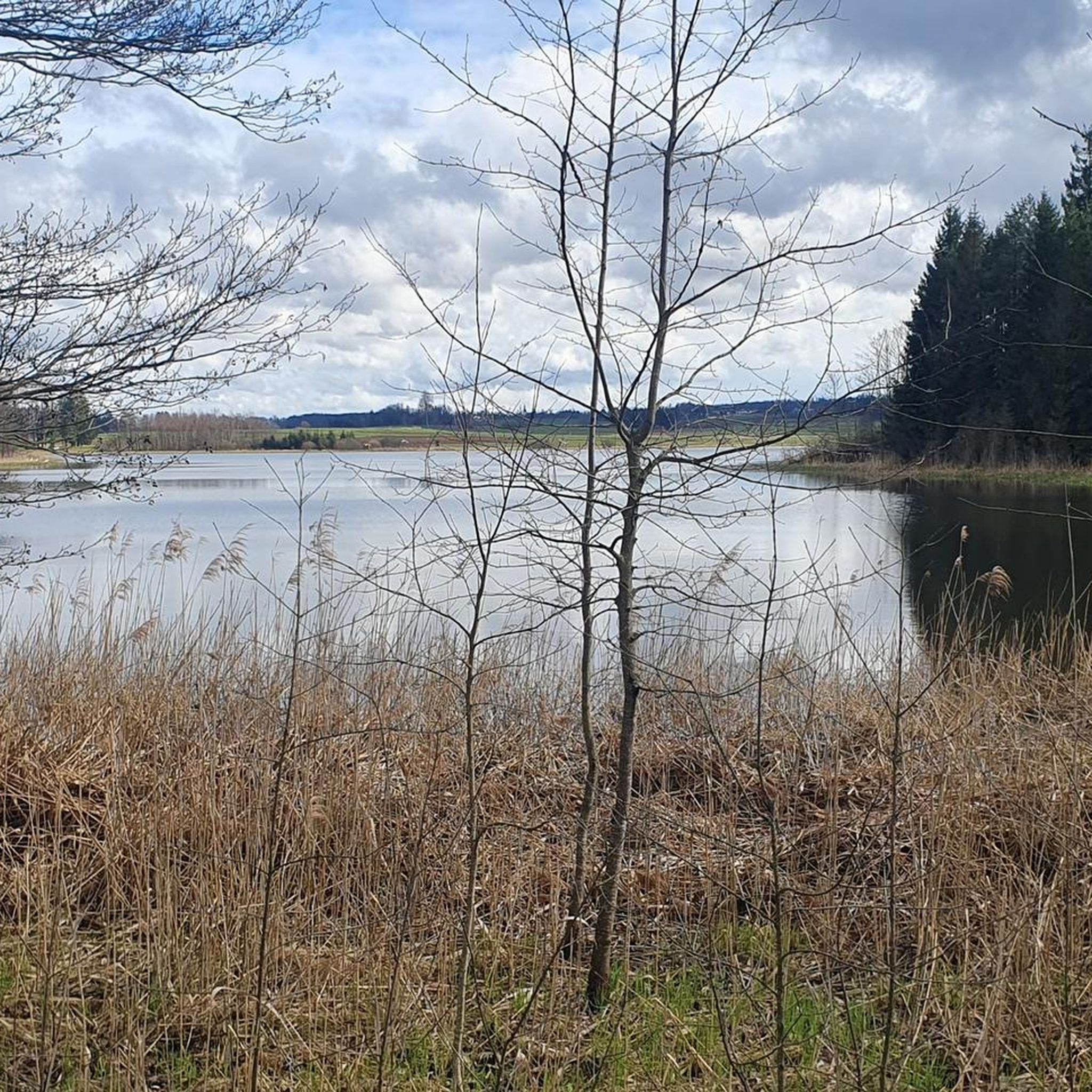
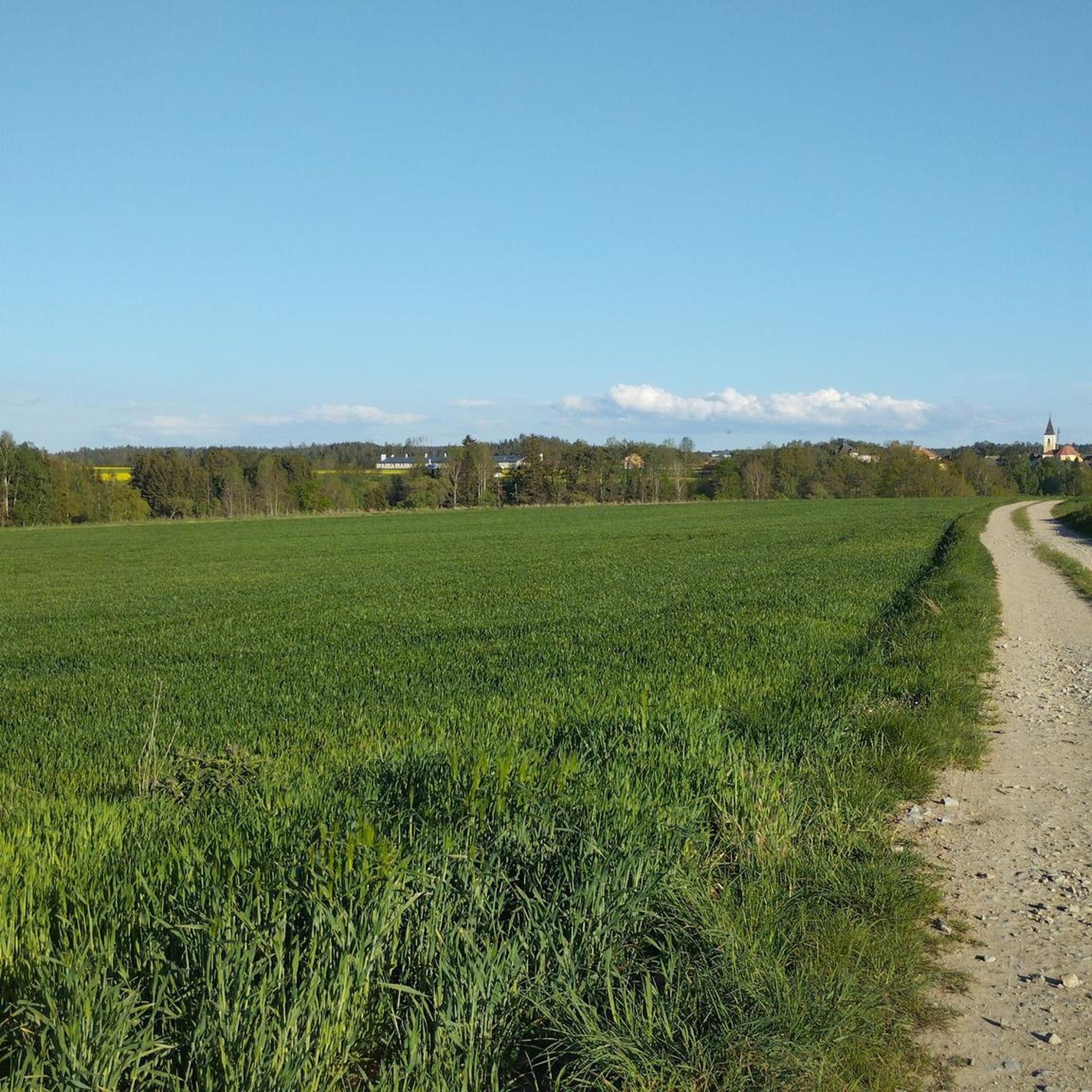
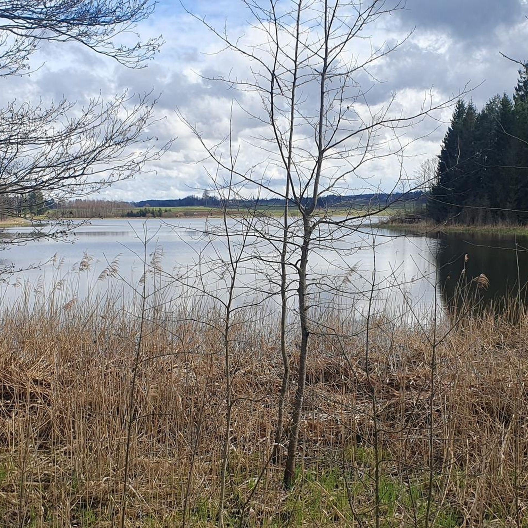
Tips from the Community


One of the famous wobbly stones.
1
0
One of the famous wobbly stones.
0
0

This granite rock in the Blockheide is called the Devil's Loaf of Bread. Apparently the devil once offered the residents of Grillenstein the chance to make bread out of stones.
1
0

Very nice place. Don't miss the turnoff from the path!
1
0
One of many granite blocks in the Blockheide that have been given a name. The devil himself is said to have used this one as a bed. After he couldn't sleep well there, his sleeping place turned to stone...
1
0

The two moon ponds are located in the middle of the forest. It is beautiful here, and not only when the water lilies are in bloom.
3
0
Frequently Asked Questions
How many hiking trails are available around Kirchberg am Walde?
There are nearly 300 hiking routes around Kirchberg am Walde. This includes over 170 easy trails, 111 moderate routes, and a few more challenging options, catering to various fitness levels.
Are there any easy or beginner-friendly hikes in the area?
Yes, Kirchberg am Walde offers a significant number of easy trails, with over 170 routes suitable for beginners or those looking for a relaxed walk. The region's landscape often features minimal elevation changes, making many paths accessible. An easy option mentioned in regional research is the 'Viewing platform in the Todtenau – Todtenau Pond loop'.
What kind of natural landmarks or viewpoints can I expect to see while hiking?
The region is rich in natural features and viewpoints. You can explore the mystical Schrems High Moor, one of Lower Austria's largest bogs. Nearby, the Himmelsleiter Observation Tower offers panoramic views of the moorland. Another prominent attraction is the Blockheide Observation Tower, which provides insights into the region's unique wobbling stones, like the Wackelstein.
Are there any circular hiking routes around Kirchberg am Walde?
Yes, many routes in the area are designed as loops. For example, the Johannahöhe loop from Nondorf is a popular 8.5 km circular trail. Another option is the Beaver Dam – Beaver Activity Area loop from Katastralgemeinde Sallingstadt, which offers a moderate 10.9 km experience.
What do other hikers say about the trails in Kirchberg am Walde?
The hiking trails around Kirchberg am Walde are highly regarded by the komoot community, with an average rating of 4.6 stars from over 660 reviews. Hikers often praise the tranquil atmosphere, diverse landscapes, and well-maintained paths that offer a peaceful escape into nature.
Are there any trails that pass by water features or lakes?
Yes, the region features several water bodies. You can find trails near the Schrems Moor Bath, the Blockheideteich, and the Todtenau Pond, which is mentioned in regional research as part of an easy loop. These offer scenic spots for a break or to observe local wildlife.
Can I hike with my dog in Kirchberg am Walde?
While specific dog rules for every trail are not detailed, the natural and varied terrain of Kirchberg am Walde generally welcomes dogs. It's always advisable to keep dogs on a leash, especially in nature protection areas like the Schrems High Moor, and to be mindful of local regulations and other hikers.
What is the typical duration for a hike in this region?
Hike durations vary depending on the trail length and your pace. Moderate routes like the Johannahöhe – Johannahöhe loop from Nondorf typically take around 2 hours 38 minutes for 10 km. Longer trails, such as the Devil's Bed – Christoph-Stein Rock Formation loop from Nondorf (17.3 km), can take approximately 4 hours 40 minutes.
Is Kirchberg am Walde suitable for family hikes?
Yes, the area is well-suited for family hikes, particularly due to the abundance of easy and moderate trails with minimal elevation changes. The themed trails around the Blockheide Observation Tower, for instance, are designed to be accessible and engaging for many, without requiring increased fitness.
Are there any longer, more challenging hikes for experienced hikers?
While the majority of trails are easy to moderate, there are a few more challenging options available. For instance, the Devil's Bed – Christoph-Stein Rock Formation loop from Nondorf is a longer moderate route at 17.3 km, offering a more extended experience through varied terrain. The region also has 4 trails classified as difficult for those seeking a greater challenge.
What is the best time of year to go hiking in Kirchberg am Walde?
Kirchberg am Walde offers enjoyable hiking experiences throughout much of the year. Spring and autumn are particularly pleasant with mild temperatures and beautiful foliage. The region's forests and diverse landscapes make it appealing across seasons, though winter hiking would require appropriate gear for potentially snowy or icy conditions.
Are there options for public transport to reach hiking trailheads?
Kirchberg am Walde is located in the Waldviertel region. While specific public transport connections to individual trailheads might be limited, regional bus services connect the municipality to larger towns. For detailed information on public transport options, it's best to consult local transport schedules or the official website for Lower Austria tourism at lower-austria.info.
Most popular routes around Kirchberg am Walde
Most popular attractions around Kirchberg am Walde

Get inspired with the komoot mobile app


Explore more
Browse the best Hikes in other regions.
