Easy hikes and walks around Parco Regionale del Monte San Bartolo
4.3
(1519)
10,092
hikers
75
hikes
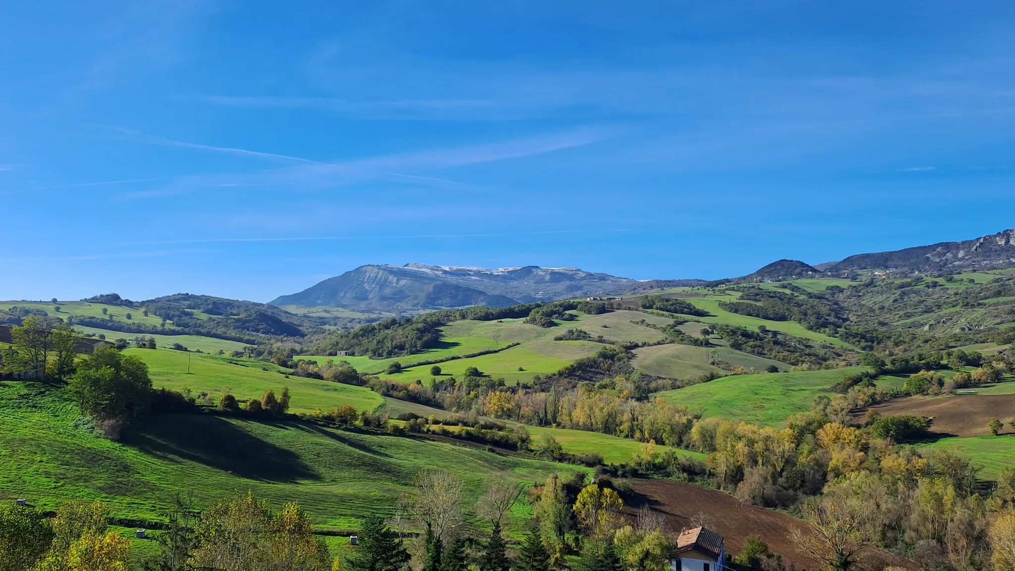
Easy hiking trails around Parco Regionale del Monte San Bartolo are characterized by a unique landscape where steep coastal cliffs meet the Adriatic Sea. The park features a diverse environment, including agricultural fields, vineyards, olive groves, and mixed forests. Hikers can explore paths that offer panoramic sea views and lead through areas rich in flora and fauna. The terrain includes both coastal sections and inland routes, providing varied experiences for those seeking easy walks.
Best easy hiking trails around Parco…
Last updated: August 17, 2026
4.5
(99)
226
hikers
5.03km
01:30
150m
150m
Start your hike on the San Bartolo Trail: La Montagnola Loop, an easy route that takes you through varied terrain. You will encounter sections of unpaved paths, asphalt, and gravel…
4.6
(18)
84
hikers
4.47km
01:21
150m
150m
Easy hike. Great for any fitness level. Easily-accessible paths. Suitable for all skill levels.

Sign up for free
4.6
(7)
72
hikers
5.62km
01:36
120m
120m
Hike the easy 3.5-mile San Bartolo Trail in Parco Naturale Monte San Bartolo, featuring coastal views and historical villages.
5.0
(2)
22
hikers
4.49km
01:27
200m
200m
Hike 2.8 miles (4.5 km) from Siligate to the secluded Fiorenzuola di Focara Beach, an easy route with Adriatic Sea views.
4.7
(42)
122
hikers
4.90km
01:29
170m
170m
Easy hike. Great for any fitness level. Easily-accessible paths. Suitable for all skill levels.
Get access to more routes and recommendations from other explorers.
Sign up for free
Already have an account?
Our route recommendations are based on thousands of hikes, rides, and runs completed by other people on komoot.
Start today with a free account
Your next adventure awaits.
Login or Signup
Popular around Parco Regionale del Monte San Bartolo

Other adventures around Parco Regionale del Monte San Bartolo


Tips from the Community


Casteldimezzo is a small fraction of the city of Pesaro, perched on a hill overlooking the sea: it does not reach high altitudes, but on clear days the panorama stretches far and the gaze manages to touch the profiles of Fano and Ravenna. The name derives from the geographical position of the village, located halfway between the fortifications of Gradara and Fiorenzuola di Focara. Formerly called Castrum Medium, it served as a strategic connection point in the defensive system of the Pesaro coastline.
1
0


A pearl along the coast of San Bartolo Park!
1
0
A beautiful village with an exceptional restaurant
1
0
Beautiful vegetation and beautiful panorama
1
0
Wild beach, very busy in summer, even more magical in other seasons
1
0
Road passable only on foot or by bicycle
1
0
Frequently Asked Questions
How many easy hiking trails are available in Parco Regionale del Monte San Bartolo?
There are over 40 easy hiking trails in Parco Regionale del Monte San Bartolo, offering a variety of landscapes from coastal cliffs to inland forests and agricultural fields. These routes are generally well-suited for a relaxed outdoor experience.
Are there any family-friendly easy walks in Parco Regionale del Monte San Bartolo?
Yes, many of the easy trails are suitable for families. Routes like San Bartolo Trail: La Montagnola Loop offer manageable distances and gentle elevation changes, making them enjoyable for all ages. The diverse scenery, including sea views and natural habitats, provides engaging points of interest for children.
Can I bring my dog on the easy hiking routes in Parco Regionale del Monte San Bartolo?
Generally, dogs are welcome on trails in Parco Regionale del Monte San Bartolo, but it's always best to keep them on a leash, especially in areas with wildlife or near agricultural fields. Please ensure you follow local regulations and clean up after your pet to preserve the park's natural beauty.
What kind of views can I expect on the easy trails in Parco Regionale del Monte San Bartolo?
The easy trails in Parco Regionale del Monte San Bartolo offer stunning panoramic views. You'll encounter breathtaking vistas of the Adriatic Sea from the steep coastal cliffs, as well as scenic outlooks over the sandy beaches of Romagna and Northern Marche. Inland, routes provide views of diverse landscapes, including vineyards, olive groves, and mixed forests. Highlights like View of the Bay of Rimini from Gabicce Monte are easily accessible.
Are there any circular easy hiking routes in the park?
Yes, there are several circular easy hiking routes. A popular option is the San Bartolo Trail: La Montagnola Loop, which allows you to start and end at the same point while enjoying varied scenery. Another great choice is Junction to La Montagnola – View of Gradara loop from Casteldimezzo.
What are some shorter easy hikes in Parco Regionale del Monte San Bartolo?
For shorter easy hikes, consider routes like Sentiero San Bartolo towards Baia di Vallugola, which is approximately 2.8 miles (4.5 km) long. These shorter paths are perfect for a quick stroll while still offering beautiful views and natural immersion.
What is the best time of year to go for an easy hike in this region?
Parco Regionale del Monte San Bartolo is enjoyable for easy hikes throughout much of the year. Spring and autumn offer pleasant temperatures and vibrant natural colors, making them ideal. Even in summer, the coastal breezes can make for comfortable walking, especially during mornings or late afternoons. Winters are generally mild, allowing for year-round exploration.
What interesting historical or cultural sites can I see near the easy hiking trails?
The park is rich in cultural and historical attractions. You can explore charming ancient villages like Casteldimezzo and Fiorenzuola di Focara, often perched along scenic roads. The picturesque port of Baia Vallugola is also nearby. Evidence of Roman history can be found at archaeological sites like Colombarone, which features ancient mosaics.
Is public transport available to reach the easy hiking trails in Parco Regionale del Monte San Bartolo?
While specific public transport routes directly to every trailhead may vary, the park is accessible from nearby towns like Pesaro and Gabicce Mare, which have bus services. From these points, you may be able to reach various entry points to the park's trail network. It's advisable to check local bus schedules for the most current information.
What do other hikers enjoy the most about hiking in Parco Regionale del Monte San Bartolo?
The area is highly rated by the komoot community, with an average score of 4.4 stars from over 700 reviews. Reviewers often praise the unique combination of stunning coastal views and diverse inland landscapes, the well-maintained paths, and the opportunity to discover charming villages and historical sites along the way. The accessibility of easy trails for all skill levels is also frequently highlighted.
Are there any specific viewpoints I should look for on easy hikes?
Absolutely! Many easy trails offer incredible viewpoints. Be sure to look for spots like View of the Bay of Rimini from Gabicce Monte, View from Gabicce Monte, and View of the Adriatic Sea from Parco Regionale del Monte San Bartolo. These provide expansive vistas of the coastline and the sea.
What kind of wildlife might I encounter on an easy hike in Parco Regionale del Monte San Bartolo?
Parco Regionale del Monte San Bartolo is a significant haven for wildlife, especially birds. You might spot various bird species, including peregrine falcons, honey buzzards, and marsh harriers. Mammals like roe deer, foxes, badgers, and porcupines also inhabit the park, though they are often more elusive. Keep an eye out for rare plant species such as maritime flax and shining fragrant broom.
Most popular routes around Parco Regionale del Monte San Bartolo
Most popular attractions around Parco Regionale del Monte San Bartolo

Get inspired with the komoot mobile app


Explore more
Browse the best Hikes in other regions.
