Easy hikes and walks around Nåttarö
4.6
(36)
306
hikers
34
hikes
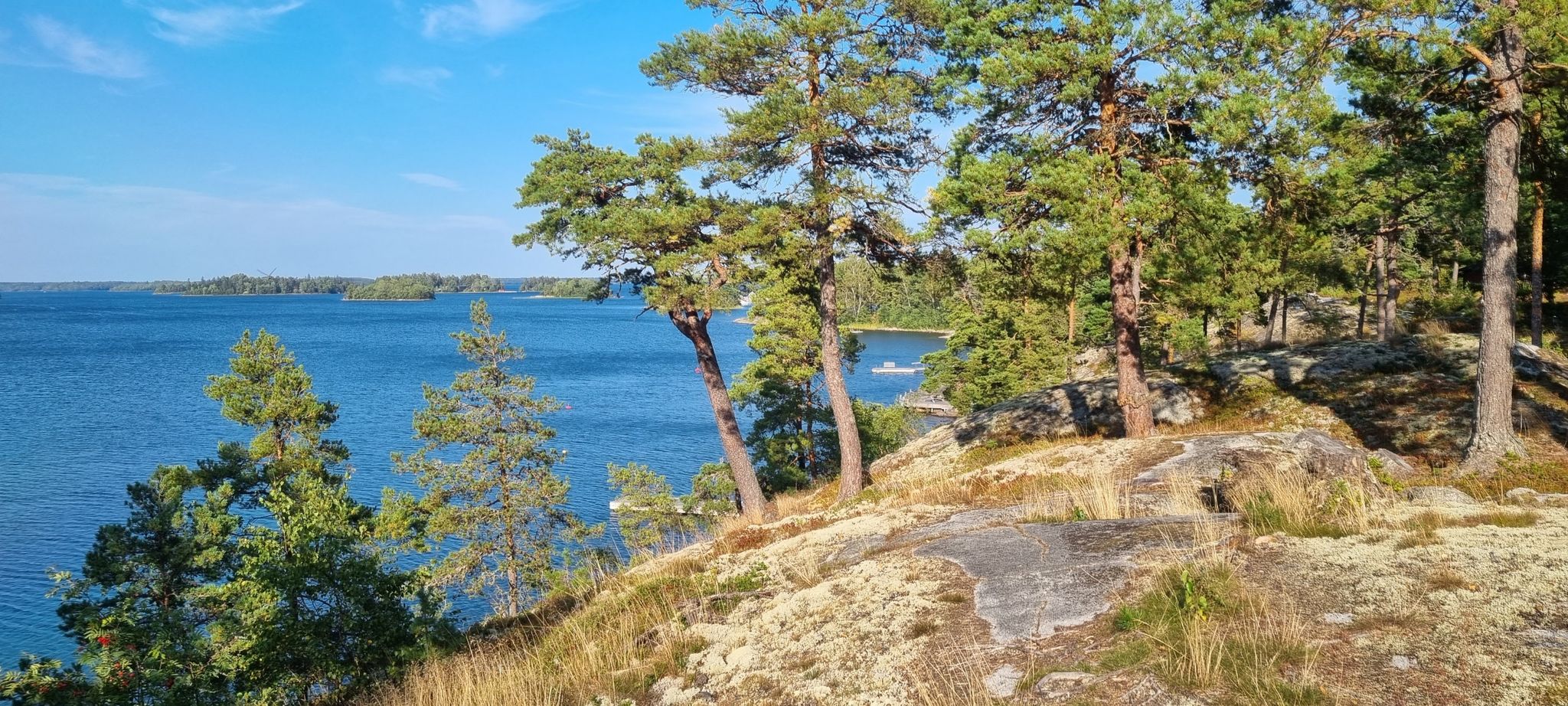
Easy hiking trails around Nåttarö offer a diverse landscape within the southern Stockholm archipelago, designated as a marine nature reserve. The island features extensive pine forests, sandy beaches like Stora Sand, and varied terrain including wetlands and rocky cliffs. Hikers can expect a mix of gravel roads and coastal paths with stones and roots, providing a dynamic experience. The highest point, Bötsudden, offers expansive views over the archipelago.
Best easy hiking trails around Nåttarö
- The most popular easy hiking route…
Last updated: June 30, 2026
6
hikers
4.74km
01:14
40m
40m
Easy hike. Great for any fitness level. Easily-accessible paths. Suitable for all skill levels.
3
hikers
4.60km
01:11
30m
30m
Easy hike. Great for any fitness level. Easily-accessible paths. Suitable for all skill levels.

Sign up for free
3
hikers
3.45km
00:55
30m
30m
Easy hike. Great for any fitness level. Easily-accessible paths. Suitable for all skill levels.
3
hikers
4.39km
01:09
40m
40m
Easy hike. Great for any fitness level. Easily-accessible paths. Suitable for all skill levels.
5.0
(1)
12
hikers
5.67km
01:28
30m
30m
Easy hike. Great for any fitness level. Easily-accessible paths. Suitable for all skill levels.
Get access to more routes and recommendations from other explorers.
Sign up for free
Already have an account?
Our route recommendations are based on thousands of hikes, rides, and runs completed by other people on komoot.
Start today with a free account
Your next adventure awaits.
Login or Signup
Popular around Nåttarö
Other adventures around Nåttarö

Tips from the Community

In addition, the pier is for passenger ferries line 22 to Nåttarö/Ålö and 40 to Norrtälje/Arholma
0
0

Nice spot with fire place, directly at the shore.
0
0


A great way to get to Stockholm (Nynäshamn) by ferry since September 2021 to save many long car kilometers to the north.
1
0
This beach has toilets (dass), fireplaces and during summer a wonderful possibility to take a swim.
1
0
This is the place! Sandy beach and a very nice forest road to get here.
1
0
Frequently Asked Questions
How many easy hiking trails are there on Nåttarö?
Nåttarö offers a good selection of easy hiking trails, with over 20 routes specifically categorized as easy. In total, there are 34 hiking routes available on the island, catering to various preferences.
What kind of terrain can I expect on Nåttarö's easy hiking trails?
The easy trails on Nåttarö feature a diverse landscape. You'll find leisurely strolls on gravel roads, paths through extensive pine forests, and sections with sandy beaches. Some coastal paths may include stones, rocks, and roots, offering a dynamic yet manageable experience.
Are there any circular easy walks on Nåttarö?
Yes, Nåttarö has several enjoyable circular routes. A popular option is the Guldbodasjön – Örnsand loop from Långtarmen, which is 2.9 miles (4.7 km) and explores the island's interior. Another favorite is the Storsand beach loop from Ålö, a 2.9 miles (4.6 km) path leading to one of the island's renowned sandy beaches.
What are some interesting sights or landmarks to see on an easy hike in Nåttarö?
Along Nåttarö's trails, you can discover several points of interest. The historical Drottninggrottan (Queen's Cave) is located between the cabin village and Stora Sand. Near Bötsudden, the island's highest point, you can find remnants of Ryssugnar (Russian Ovens) from 1719. The island also boasts beautiful sandy beaches like Stora Sand and Östermarsfladen, a spacious natural harbor.
Is Nåttarö suitable for family-friendly hikes?
Absolutely. Nåttarö's easy trails, particularly those on gravel roads and through pine forests, are well-suited for families. The island's sandy beaches also provide excellent spots for children to play and relax during a hike. The varied landscape ensures there's something to keep everyone engaged.
Can I bring my dog on the hiking trails in Nåttarö?
Nåttarö is generally dog-friendly, but as a nature reserve, it's important to keep your dog on a leash to protect the local wildlife, especially during nesting seasons. Always check local regulations for specific areas or times of year.
What is the best season to go hiking on Nåttarö?
Nåttarö offers unique experiences throughout the year. Spring and early summer are ideal for enjoying blooming flora and birdwatching. Late summer and early autumn provide pleasant temperatures for hiking and opportunities for foraging berries and mushrooms. The island's diverse landscape is beautiful in any season.
How do I get to Nåttarö for hiking?
Nåttarö is accessible by public transport, primarily ferries from the mainland. It's a significant section of the Stockholm Archipelago Trail, making it a popular destination for those using public boat services to explore the archipelago.
What do other hikers enjoy most about the easy trails on Nåttarö?
The easy trails on Nåttarö are highly rated by the komoot community, with an average score of 4.6 stars from over 20 reviews. Hikers often praise the island's pristine natural beauty, the diverse landscape featuring sandy beaches and pine forests, and the well-maintained paths that make for a relaxing outdoor experience.
Are there any easy trails that lead to a beach for swimming?
Yes, many easy trails on Nåttarö lead to or pass by its renowned sandy beaches. The Storsand beach loop from Ålö is a prime example, taking you directly to one of the finest sandy beaches in the Stockholm archipelago, perfect for a refreshing dip after your hike.
What is the typical length and duration of an easy hike on Nåttarö?
Easy hikes on Nåttarö typically range from 2 to 3.5 miles (3 to 5.5 km) in distance. For example, the Guldbodasjön loop from Muskö naval base is 2.1 miles (3.4 km) and takes about 54 minutes, while the Guldbodasjön – Örnsand loop from Långtarmen is 2.9 miles (4.7 km) and takes around 1 hour 14 minutes.
Are there opportunities for other outdoor activities besides hiking on Nåttarö?
Beyond hiking, Nåttarö offers a variety of outdoor activities. You can enjoy cycling, kayaking, rowing, and stand-up paddleboarding (SUP). The island's many fine beaches are excellent for swimming, and in autumn, you might even find opportunities for surfing.

Get inspired with the komoot mobile app


Explore more
Browse the best Hikes in other regions.
