Easy hikes and walks in Garðabær
4.4
(655)
8,726
hikers
34
hikes
Easy hiking trails in Garðabær traverse a landscape characterized by diverse natural features, including expansive lava fields, tranquil lakes, and coastal paths. The region offers a blend of volcanic geology and green spaces, with well-maintained paths suitable for various fitness levels. Hikers can explore areas with moss-covered volcanic rock, native grasses, and Icelandic birch trees.
Best easy hiking trails in Garðabær
- The most popular easy hiking route is Búrfellsgjá Crater – Búrfellsgjá loop from Búrfell, a 3.6 miles (5.8…
Last updated: October 4, 2026
4.5
(11)
219
hikers
5.64km
01:31
70m
70m
Easy hike. Great for any fitness level. Easily-accessible paths. Suitable for all skill levels.
5.0
(1)
30
hikers
4.39km
01:09
30m
40m
Easy hike. Great for any fitness level. Easily-accessible paths. Suitable for all skill levels.

18
hikers
Easy hike. Great for any fitness level. Easily-accessible paths. Suitable for all skill levels.
5.0
(1)
13
hikers
6.46km
01:41
50m
50m
Easy hike. Great for any fitness level. Easily-accessible paths. Suitable for all skill levels.
8
hikers
6.58km
01:50
120m
130m
Easy hike. Great for any fitness level. Easily-accessible paths. Suitable for all skill levels.
8
hikers
4.37km
01:09
30m
30m
Easy hike. Great for any fitness level. Easily-accessible paths. Suitable for all skill levels.
9
hikers
4.31km
01:07
30m
30m
Easy hike. Great for any fitness level. Easily-accessible paths. Suitable for all skill levels.
5.0
(1)
4
hikers
3.90km
01:08
100m
100m
Easy hike. Great for any fitness level. Easily-accessible paths. Suitable for all skill levels.
8
hikers
4.66km
01:13
40m
40m
Easy hike. Great for any fitness level. Easily-accessible paths. Suitable for all skill levels.
5
hikers
6.03km
01:36
60m
60m
Easy hike. Great for any fitness level. Easily-accessible paths. Suitable for all skill levels.
Get access to more routes and recommendations from other explorers.
Already have an account?
Our route recommendations are based on thousands of hikes, rides, and runs completed by other people on komoot.
Start today with a free account
Your next adventure awaits.

Tips from the Community

As of August 18, 2025: Iceland experienced its twelfth volcanic eruption in just over four years. On the sparsely populated Reykjanes Peninsula, southwest of Reykjavik, the earth opened up again on Wednesday, July 16. Since Tuesday, August 5, no more lava has been escaping from the eruption fissure located approximately seven kilometers northeast of Grindavik. Volcanologists believe it is highly likely that the eruption has ended for the time being. The temporarily closed campsite in the town of Grindavik is now freely accessible again.
1
0
Really impressive in the old lava fields
1
0

The fissure is surrounded by ancient lava flows that have cooled and solidified, forming a rugged, rocky landscape. Despite the volcanic terrain, the area is home to a surprising amount of vegetation adapted to lava soil, as well as birds and other animals typical of Iceland.
2
0
It is a unique geological feature located near Reykjavik in Iceland. It is a canyon formed by a volcanic fissure in the Hafnarfjörður region on the Reykjanes Peninsula. It is a fascinating place for both its geology and natural beauty. Near Búrfellsgjá is the Búrfell crater, which is an impressive volcanic feature in itself. This crater is almost perfectly shaped and offers a closer look at the volcanic activity that formed the region.
2
0

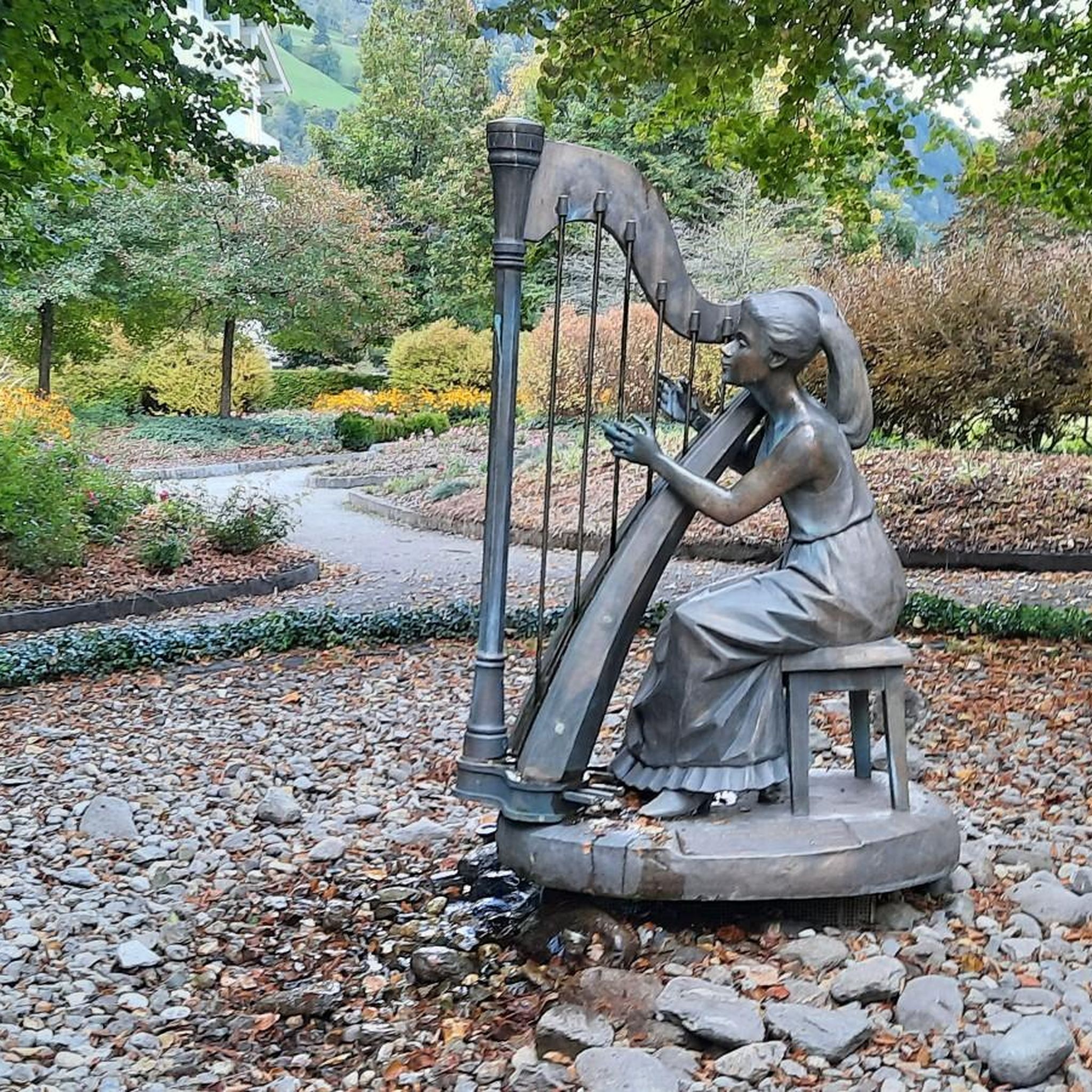
Former site of a longhouse, with interesting information boards and a pair of binoculars that allow you to take a look into the past.
0
0


A well-maintained, approx. 2.5 km long gravel path leads around the lake. There are three parking lots. From the parking lot at the southern end of the lake, a path leads up to the small hill Gunnhildur with a beautiful view.
3
0
Frequently Asked Questions
How many easy hiking trails are available in Garðabær?
Garðabær offers a good selection of easy hiking trails, with 22 routes suitable for various fitness levels. These trails allow you to explore the region's diverse landscapes, from lava fields to tranquil lakes.
What kind of landscapes can I expect on easy hikes in Garðabær?
Easy hikes in Garðabær primarily traverse unique volcanic landscapes, including expansive lava fields often covered in moss, and tranquil areas around lakes. You'll also find green spaces with native grasses and Icelandic birch trees, offering a blend of rugged natural beauty and serene environments.
Are there any easy circular hiking routes in Garðabær?
Yes, many easy trails in Garðabær are circular, allowing you to start and end at the same point. For example, the Búrfellsgjá – Búrfellsgjá Lava Fissure loop from Búrfell is an easy 6.4 km circular route exploring volcanic formations. Another option is the Vífilsstaða Lake loop from Vífilsstaðavatn, a 4.4 km path around the scenic lake.
What are some notable natural attractions I can see on easy hikes in Garðabær?
On easy hikes, you can explore several significant natural attractions. The Búrfellsgjá Lava Fissure is a prominent volcanic feature. You can also hike around Vífilsstaða Lake, a protected nature reserve known for its birdlife. Additionally, the Maríuhellar Caves are accessible via routes like the Arboretum Trail – Maríuhellar Caves loop from Maríuhellar.
What is the typical duration and distance for easy hikes in Garðabær?
Easy hikes in Garðabær generally range from 2.4 to 7.2 kilometers in distance and can typically be completed within 1 to 2 hours. For instance, the Vífilsstaða Lake – Ruins of Gunnhildur Shelter loop from Vífilsstaðavatn is 3.8 km and takes about 1 hour 5 minutes, while the Hiking loop from Kaplakriki is 7.2 km and takes around 1 hour 57 minutes.
What do other hikers say about the easy trails in Garðabær?
The easy trails in Garðabær are highly regarded by the komoot community, with an average rating of 4.6 stars from over 130 reviews. Hikers often praise the well-maintained paths, the unique volcanic scenery, and the peaceful atmosphere around areas like Vífilsstaða Lake.
Is parking available near easy hiking trails in Garðabær?
Yes, parking is generally available near the trailheads for easy hikes in Garðabær. For example, routes exploring the Búrfellsgjá area often start from designated parking spots near Búrfell, and trails around Vífilsstaða Lake have parking facilities at Vífilsstaðavatn.
What are the best seasons for easy hiking in Garðabær?
The best seasons for easy hiking in Garðabær are typically spring, summer, and early autumn. During these months, the weather is milder, and the trails are generally clear. Summer offers long daylight hours, while autumn brings vibrant colors to the landscape. Winter hiking is possible but requires appropriate gear for potentially icy or snowy conditions.
Are there any easy hikes that offer good opportunities for wildlife spotting?
Yes, areas like the Álftanes Peninsula and Vífilsstaða Lake are excellent for wildlife spotting, particularly birdlife. The clear ponds and protected nature reserve around Vífilsstaða Lake provide a sanctuary for various bird species, making it ideal for combining a leisurely hike with bird watching.
Can I find easy trails that include exploring caves in Garðabær?
Absolutely. The Maríuhellar Caves are a unique feature accessible on some easy hiking routes. Consider the Arboretum Trail – Maríuhellar Caves loop from Maríuhellar, which is an easy 4.4 km path that winds past these interesting underground formations.
Are there easy hikes in Garðabær that specifically explore the unique lava fields?
Many easy hikes in Garðabær traverse the region's distinctive lava fields. The Búrfellsgjá Crater – Búrfellsgjá loop from Búrfell is an excellent example, taking you through a landscape characterized by volcanic rock and fissures. These areas are often covered in a soft blanket of moss, creating a unique visual experience.
Most popular routes in Garðabær
Most popular attractions in Garðabær

Get inspired with the komoot mobile app


Didn’t find what you were looking for?
Check out more Hikes throughout Garðabær below and find the perfect route in your destination.
Explore more
Browse the best Hikes in other regions.
