Easy hikes and walks around Wittendörp
4.5
(1968)
7,256
hikers
274
hikes
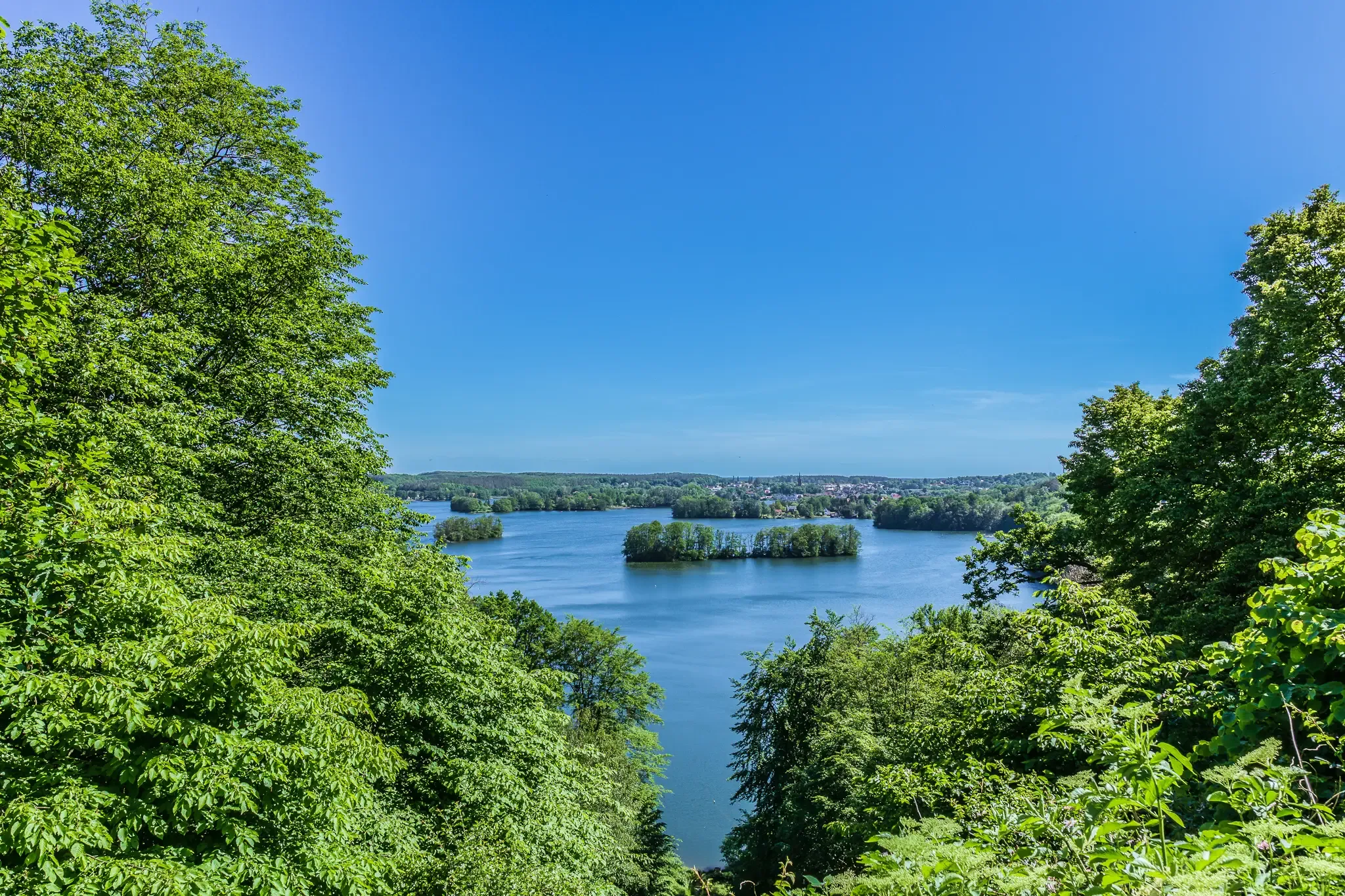
Easy hiking trails around Wittendörp are situated within Mecklenburg-Vorpommern, Germany, offering access to the Schaalsee Biosphere Reserve. The region features a landscape of fields, forests, and wetlands, with the river Schilde flowing through the municipality. Topography generally includes gentle elevations, making for accessible hiking terrain. This area is known for its diverse natural environment, supporting varied flora and fauna.
Best easy hiking trails around Wittendörp
- The most popular easy hiking route is View of Schaalsee – Lake Neuenkirchen loop from…
Last updated: June 30, 2026
4.9
(8)
39
hikers
Easy hike. Great for any fitness level. Easily-accessible paths. Suitable for all skill levels.
5.0
(1)
11
hikers
Easy hike. Great for any fitness level. Easily-accessible paths. Suitable for all skill levels.

Sign up for free
5.0
(4)
11
hikers
7.08km
01:49
30m
30m
Easy hike. Great for any fitness level. Easily-accessible paths. Suitable for all skill levels.
8
hikers
Easy hike. Great for any fitness level. Easily-accessible paths. Suitable for all skill levels.
3.5
(2)
14
hikers
Easy hike. Great for any fitness level. Easily-accessible paths. Suitable for all skill levels.
Get access to more routes and recommendations from other explorers.
Sign up for free
Already have an account?
Our route recommendations are based on thousands of hikes, rides, and runs completed by other people on komoot.
Start today with a free account
Your next adventure awaits.
Login or Signup


Tips from the Community

There are many beautiful thatched-roof houses in the village.
0
0
Ancient, robust pedunculate oak with a remarkable trunk circumference
0
0

Wittenburg Town Hall subway station, unfortunately without trains.
1
0

The subway station is a relic of the 'Great Potemkin Street' project of October 21, 2012. The project was about developing new ideas for the design of ruined small towns in Mecklenburg-Western Pomerania.
0
0

Here you get another interesting perspective on the time of division…
0
0

The Wittenburg Comprehensive School Center (GSZ) in Wittenburg (Mecklenburg-Vorpommern) is located in the building of the former Christian-Ludwig-Liscow-Gymnasium, Lindenstraße 13 / Schulstraße, and in buildings of the neighboring former Hans Franck Regional School. The GSZ is a regional school and a high school.
0
0

The Catholic church of the parish of Saint Edith Stein (Church of Christ the King) in Wittenburg, which is now a listed building, was built in 1932 as a redstone, single-nave hall church with an indented choir and an octagonal roof turret for the bells according to plans by the architect Sonnen at Dreilützower Chaussee 2b. A wooden barrel vault is visible inside. https://de.wikipedia.org/wiki/Christus_K%C3%B6nig_(Wittenburg)
2
0

Very nice view through the bend, which can easily be missed.
0
0
Frequently Asked Questions
How many easy hiking trails are available around Wittendörp?
There are over 150 easy hiking trails around Wittendörp. These routes offer diverse experiences through fields, forests, and wetlands, with gentle elevations suitable for all skill levels.
What kind of landscape can I expect on easy hikes in Wittendörp?
Easy hikes in Wittendörp feature a varied landscape of fields, forests, and wetlands, characteristic of Mecklenburg-Vorpommern. You'll find gentle elevations and routes that often lead through or near the Schaalsee Biosphere Reserve, offering tranquil natural environments.
Are there any circular easy walks in Wittendörp?
Yes, many of the easy hiking trails around Wittendörp are circular routes. For example, the View of Schaalsee – Lake Neuenkirchen loop from Kirche Neuenkirchen is a popular circular option, providing scenic views towards the Schaalsee.
What can I see along the easy hiking trails in Wittendörp?
Along easy hiking trails, you can explore natural features and landmarks. For instance, the Pedunculate Oak, Natural Monument ID 46 – Path Above Stintenburger Mühle loop from Kirche Neuenkirchen passes a notable pedunculate oak. You might also encounter highlights like the Schaalsee lakeside promenade in Zarrentin or the Strangendamm Bridge.
Are there family-friendly easy hikes in Wittendörp?
Yes, the gentle terrain and manageable distances of Wittendörp's easy hikes make them ideal for families. Routes like the Woezer See loop from St. Vitus offer pleasant walks around natural areas, suitable for all ages.
Can I bring my dog on the easy hiking trails?
Most easy hiking trails in Wittendörp are dog-friendly, allowing you to enjoy the natural surroundings with your canine companion. It's always recommended to keep dogs on a leash, especially in nature reserves, and to check local regulations for specific areas.
What is the best time of year to go hiking in Wittendörp?
Wittendörp offers pleasant hiking experiences throughout much of the year. Spring and autumn provide comfortable temperatures and beautiful scenery with blooming flora or vibrant fall colors. Summer is also great, though some trails might be more exposed to the sun. Winter hikes are possible, especially on clear days, offering a different, serene perspective of the landscape.
Are there viewpoints or scenic spots on the easy trails?
Yes, many easy trails offer scenic views, particularly those near lakes or within the Schaalsee Biosphere Reserve. You can find dedicated spots like the Observation deck at Schaalelauf Moor or the Observation Tower Kneese East (Biosphere Reserve Schaalsee) for expansive vistas.
What do other hikers enjoy most about hiking in Wittendörp?
The area is highly rated by the komoot community, with an average score of 4.5 stars from over 1,800 reviews. Hikers often praise the tranquil natural environments, the well-maintained paths, and the accessibility of the trails, making them perfect for a relaxing outdoor experience.
Are there any easy hikes near Wittendörp that explore historical sites?
While Wittendörp's focus is primarily on natural landscapes, some trails might lead near historical points. For example, the Wittenburg Town Center – Amtsbergturm Wittenburg loop from Wittenburg offers a walk around the nearby town of Wittenburg, which has its own historical character.
Are there options for parking at the trailheads for easy hikes?
Parking is generally available near the starting points of many trails in and around Wittendörp, especially in villages or designated recreational areas. It's advisable to check specific route details on komoot for precise parking information for your chosen hike.
Can I access easy hiking trails in Wittendörp using public transport?
While public transport options might be limited directly to every trailhead, Wittendörp is connected by local bus services. Planning your route in advance and checking bus schedules will help you identify accessible starting points for your easy hikes.
Most popular routes around Wittendörp
Most popular attractions around Wittendörp

Get inspired with the komoot mobile app


Explore more
Browse the best Hikes in other regions.
