Easy hikes and walks around Dorstadt
4.6
(4272)
16,449
hikers
845
hikes
Easy hiking trails around Dorstadt are situated between the Oker and Elm rivers, offering a blend of riverine scenery and proximity to the hilly Northern Harz foreland. The landscape is primarily rural, characterized by extensive agricultural areas and significant forest coverage. This geographical setting provides diverse natural features for exploration, including tranquil waterside paths and undulating terrain.
Best easy hiking trails around Dorstadt
- The most popular easy hiking route is Along the Oker River – Footbridge over the Alte Ilse…
Last updated: October 3, 2026
4.8
(46)
109
hikers
Easy hike. Great for any fitness level. Easily-accessible paths. Suitable for all skill levels.
4.8
(5)
27
hikers
5.02km
01:20
50m
50m
Easy hike. Great for any fitness level. Easily-accessible paths. Suitable for all skill levels.

5.0
(4)
28
hikers
3.81km
00:59
20m
20m
Easy hike. Great for any fitness level. Easily-accessible paths. Suitable for all skill levels.
5.0
(5)
17
hikers
Easy hike. Great for any fitness level. Easily-accessible paths. Suitable for all skill levels.
4.3
(4)
15
hikers
4.78km
01:14
30m
30m
Easy hike. Great for any fitness level. Easily-accessible paths. Suitable for all skill levels.
Get access to more routes and recommendations from other explorers.
Already have an account?
Our route recommendations are based on thousands of hikes, rides, and runs completed by other people on komoot.
Start today with a free account
Your next adventure awaits.
Popular around Dorstadt
Other adventures around Dorstadt

Tips from the Community

Very nice stature 👍
0
0

some patience is required and the path is a bit overgrown on the other side
0
0

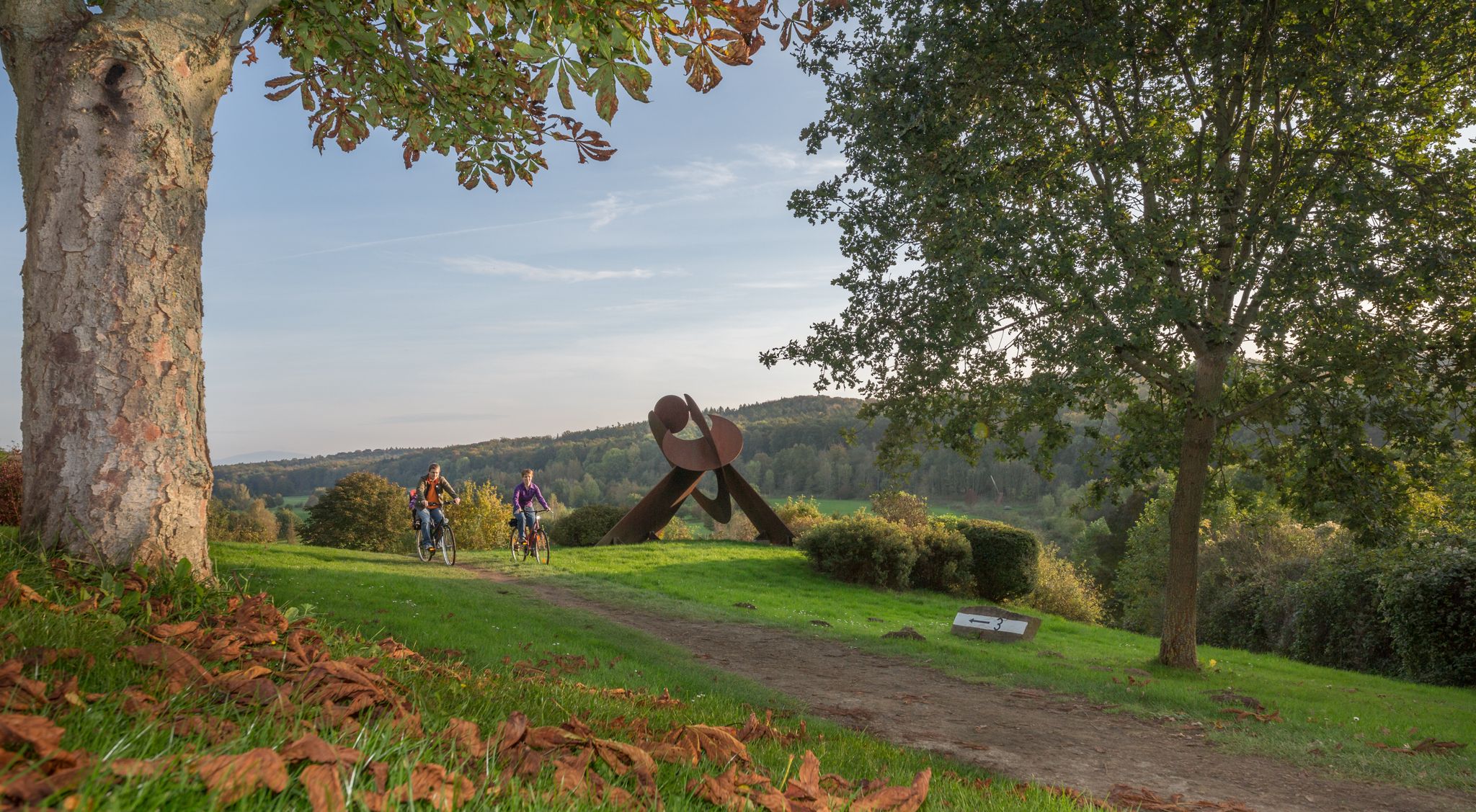
Very imposing statue ,, Woman with Lion ", plus the magnificent tree-lined avenue.
0
0
A small circular hiking trail from Kissenbrück led us along here, a completely different hiking trail for a change.
0
0
What a large, well-kept park, here is the stamp box for the leisure stamp - Pass Nördliches Harzvorland No. 1, you should really take your time here and look at everything calmly. Have fun ;-)
0
0

A significant monument in Ohrum that commemorates the establishment of the German Empire under Kaiser Wilhelm I. The stone also bears the names of those from Ohrum who participated in the campaign against France in 1870-71. An interesting place for a short historical excursion in the middle of the village.
0
0
⛪ Where history was made: The church in Ohrum Anyone cycling past here reaches one of the most historic places in the entire Braunschweiger Land. The church in Ohrum stands on ground that was the focus of world politics over 1200 years ago. A place full of legends: The Baptism of the Saxons: Ohrum is known as one of the oldest places in the region. It was first mentioned in documents as early as 747. It is handed down that Charlemagne had Saxons baptized here at the Oker ford – a turning point in European history. Historic Wehrkirche (Fortified Church): The simple, massive construction of the church testifies to its long past. It looks almost like a small fortress and blends wonderfully into the tranquil village scene directly on the Oker. Significant Oker ford: Long before there were bridges, Ohrum was the strategic point for crossing the river. You can still feel this today in the village's special location. Why you should stop here: Enjoy the silence: The church square radiates incredible tranquility – perfect for a short pause on a tour. Culture & Nature: The combination of ancient sacred architecture and the directly adjacent Oker landscape is unique. Ideal route point: Whether on the way to Wolfenbüttel or further into the Harzvorland – Ohrum is the perfect place for a short cultural stop. My tip: Take a moment to read the information boards in the village. It is fascinating to know that you are traveling exactly where emperors and kings once set the course for the Middle Ages. 🚴♂️📜
0
0

An almost hidden back entrance to the Gut Hedwigsburg castle park! Beautifully situated, but the castle was destroyed in World War II.
0
0
Frequently Asked Questions
How many easy hiking trails are available around Dorstadt?
There are over 540 easy hiking trails around Dorstadt, offering a wide variety of options for leisurely walks and gentle explorations.
What kind of landscape can I expect on easy hikes near Dorstadt?
Easy hikes around Dorstadt feature a blend of serene riverine scenery along the Oker and Elm rivers, tranquil rural agricultural lands, and peaceful forested areas. You'll experience both open fields and shaded woodland paths, with gentle elevation changes as you approach the Northern Harz foreland.
Are there any easy circular hikes in Dorstadt?
Yes, many easy trails in Dorstadt are circular. For example, you can enjoy the Along the Oker River – Footbridge over the Alte Ilse loop from Dorstadt, which offers pleasant waterside views on a 3.0-mile (4.9 km) route.
What do other hikers say about the easy trails in Dorstadt?
The easy trails around Dorstadt are highly rated by the komoot community, with an average score of 4.6 stars from over 1,700 reviews. More than 8,600 hikers have explored the area, often praising the peaceful atmosphere and diverse natural features.
Are the easy trails around Dorstadt suitable for families?
Absolutely. The easy trails in Dorstadt are generally flat or have very gentle inclines, making them ideal for families with children. Routes like the Irish cattle at the manor farm – Tree-Lined Pathway loop from Kissenbrück are short and engaging for all ages.
Can I bring my dog on the easy hiking trails in Dorstadt?
Most easy hiking trails in the Dorstadt area are dog-friendly, offering plenty of open spaces and natural environments for your canine companion. Always ensure your dog is under control and check for any local signage regarding leash requirements.
Are there easy trails with scenic views in Dorstadt?
Yes, you can find easy trails with scenic views. The View of the Brocken loop from Kissenbrück, for instance, leads through open fields and offers distant vistas, including views of the Brocken. You can also find viewpoints like Ösel Viewpoint nearby.
What is the typical length and duration of easy hikes in Dorstadt?
Easy hikes in Dorstadt typically range from 2 to 5 miles (3 to 8 km) in length, with durations from 1 to 2 hours. For example, the Ohrum Church – Parking Lot in Ohrum loop from Ohrum is about 3.1 miles (5.0 km) and takes around 1 hour 15 minutes.
Are there any specific points of interest or landmarks to see on easy hikes?
While hiking, you might encounter natural monuments like the Remlinger Herse Nature Reserve or the Old Brickworks Pond Natural Monument. Many trails also offer views of the surrounding rural landscape and local churches.
What is the best time of year for easy hikes in Dorstadt?
Spring and autumn are particularly pleasant for easy hikes in Dorstadt, with mild temperatures and beautiful natural colors. Summer offers lush green landscapes, while winter can provide tranquil, crisp walks, especially along the river paths.
Where can I find parking for easy hiking trails in Dorstadt?
Many easy trails around Dorstadt, especially those starting from villages like Ohrum or Kissenbrück, have designated parking areas near the trailheads. It's advisable to check the specific tour details on komoot for parking information for your chosen route.
Are there any short, easy walks suitable for beginners in Dorstadt?
Yes, Dorstadt offers several short and easy walks perfect for beginners. The Irish cattle at the manor farm – Tree-Lined Pathway loop from Kissenbrück is a great option, being only 2.7 miles (2.7 km) long and relatively flat.
Most popular routes around Dorstadt
Most popular attractions around Dorstadt

Get inspired with the komoot mobile app


Explore more
Browse the best Hikes in other regions.
