Easy hikes and walks around Rothenburg/Oberlausitz
4.6
(1059)
3,021
hikers
60
hikes
Easy hiking trails around Rothenburg/Oberlausitz traverse a landscape characterized by wide meadows, dense forests, and a distinctive heath and pond environment. The Neisse River is a prominent natural feature, with routes often following its course or exploring the surrounding low-lying terrain. This region offers numerous opportunities for outdoor activities, with trails generally featuring minimal elevation gain, making them suitable for relaxed walks.
Best easy hiking trails around Rothenburg/Oberlausitz
- The most popular easy hiking route is Old railway line loop from Rothenburg/Oberlausitz, a 3.6 miles (5.7 km) trail that takes about 1 hour 26 minutes to complete. This route follows a former railway line, offering a flat and accessible path.
- Another top favourite among local hikers is Great view across the fields – Geheege Watershed loop from Rothenburg/Oberlausitz, an easy 4.3 miles (7.0 km) path. This trail provides expansive views across open fields and through the Geheege Watershed area, with gentle gradients.
- Local hikers also love the Hirsch House – Wolf Bike Route at Frauenteich loop from Am Hirsch, a 3.6 miles (5.8 km) trail leading through forested areas and past the Frauenteich, often completed in about 1 hour 28 minutes.
- Hiking around Rothenburg/Oberlausitz is defined by its dense forests, heath and pond landscapes, and the Neisse River valley. The network of easy hiking trails offers options for various ability levels, including family-friendly and beginner routes.
- The routes in Rothenburg/Oberlausitz are highly rated by the komoot community with an average score of 4.6 stars from over 360 reviews. More than 900 hikers have used komoot to explore Rothenburg/Oberlausitz's varied terrain.
Last updated: October 3, 2026
4.6
(33)
21
hikers
Easy hike. Great for any fitness level. Easily-accessible paths. Suitable for all skill levels.
27
hikers
5.73km
01:27
10m
10m
Easy hike. Great for any fitness level. Easily-accessible paths. Suitable for all skill levels.

4.5
(4)
25
hikers
Easy hike. Great for any fitness level. Easily-accessible paths. Suitable for all skill levels.
5.0
(1)
11
hikers
Easy hike. Great for any fitness level. Easily-accessible paths. Suitable for all skill levels.
4.0
(1)
16
hikers
Easy hike. Great for any fitness level. Easily-accessible paths. Suitable for all skill levels.
Get access to more routes and recommendations from other explorers.
Already have an account?
Our route recommendations are based on thousands of hikes, rides, and runs completed by other people on komoot.
Start today with a free account
Your next adventure awaits.
Popular around Rothenburg/Oberlausitz


Tips from the Community

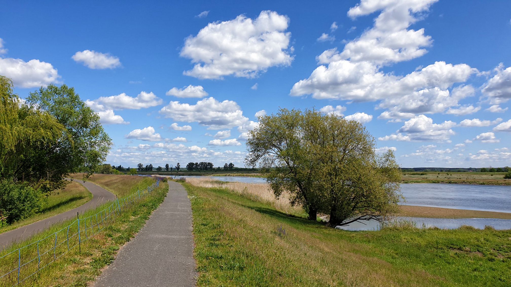
In good weather a wonderful and peaceful view over the field
0
0

Beautiful route along the many ponds - simply wonderful.
1
0

A really beautiful spot on the Neisse: you get close to the river, have a beautiful view of the Rothenburg weir and can take a rest in the hut.
3
0

After the great city fire of 1798, the completely burned-out Gothic predecessor building was demolished. On June 8, 1799, the foundation stone was laid for an initially towerless new building, which was consecrated on April 15, 1805. In 1817 the church received an organ and in 1823 the Nazarene Adolf Zimmermann, who was born in the parish, donated the still existing altarpiece “Jesus with the Disciples in Emmaus”. In 1838, the foundation of the Görlitz merchant and former owner of the Rothenburg manor Christian Friedrich v. Schrickell in the amount of 2000 thalers as well as a gift from the Prussian King Friedrich Wilhelm III. The foundation stone of the tower was laid for 500 thalers. see also:h:https://de.wikipedia.org/wiki/Rothenburg/Oberlausitz
0
0


The church tower, 180 feet high, shaped as an octagon above the church roof, covered with zinc, was built by master bricklayer Kießler from Görlitz between 1838 and 1840. The three bells, weighing 20, 10 and 5 hundredweight, were cast by Pühler in Gnadenberg. The watchmaker Hadank from Hoyerswerda delivered a watch for 390 thalers. The stone image of Barbara von Rabenau, the wife of Heinrich von Nostitz, could still be seen at the Rothenburg church.
3
0

There is a very good Italian ice cream parlor here!
3
0

Approx. 3 km southwest of the city center of Rothenburg, on the outskirts of the Geheege district, is a geographical rarity: the Geheeger watershed. A moat that comes out of the Biehainer peat cut divides into two arms. The discharge is regulated in such a way that half of the amount of water flows through a wedge in the water to the Spreer ponds, Schöps, Spree, Havel, Elbe to the North Sea, the other half to the Neisse, Oder into the Baltic Sea. The Geheeger watercourse thus has the extremely rare European runoff into two different seas.
1
0
Frequently Asked Questions
How many easy hiking trails are available in Rothenburg/Oberlausitz?
Rothenburg/Oberlausitz offers a wide selection of easy hiking trails, with over 35 routes specifically categorized as easy. In total, the region features 68 hiking tours, catering to various preferences and fitness levels.
What kind of terrain can I expect on easy hikes in Rothenburg/Oberlausitz?
Easy hikes in Rothenburg/Oberlausitz typically traverse a gentle landscape characterized by wide meadows, dense forests, and a distinctive heath and pond environment. Trails often follow the course of the Neisse River or explore low-lying terrain, featuring minimal elevation gain, making them suitable for relaxed walks.
Are there any circular routes suitable for easy hiking?
Yes, many easy trails in Rothenburg/Oberlausitz are circular, offering convenient starting and ending points. An example is the Stadtkirche Rothenburg – Flood Memorial loop from Rothenburg (OL.), which is just under 5 km and takes about 1 hour 15 minutes to complete.
What natural features or landmarks can I see on easy hikes?
The region is rich in natural beauty and points of interest. You can explore the Geheege Watershed, enjoy views of the Neisse River bend, or visit the Easternmost Point of Germany. The area also features the Edible Forest Project and various viewpoints offering panoramas of the Königshain Hills.
Are there family-friendly hiking options in Rothenburg/Oberlausitz?
Absolutely. The easy trails with their gentle gradients and diverse landscapes are ideal for families. Many routes lead through forests or past ponds, offering engaging environments for children. The nearby Erlichthof Museumsdorf Rietschen, with its unique scrap wood houses and farm museum, is also a great family destination accessible via the Wolfsradweg, which can be walked.
What do other hikers say about the trails in Rothenburg/Oberlausitz?
The hiking trails in Rothenburg/Oberlausitz are highly regarded by the komoot community, with an average rating of 4.6 out of 5 stars from over 360 reviews. Hikers often praise the quiet woodlands, well-marked paths, and the peaceful atmosphere of the heath and pond landscapes.
Are there any trails that pass by lakes or water bodies?
Yes, the region's distinctive heath and pond landscape means many trails incorporate water features. You can find routes near the Reichendorf sub-reservoir or explore paths around the Quitzdorf Reservoir, such as the Dam Path at Quitzdorfer Lake, which offers scenic views and a beach area.
What is the best time of year to go hiking in Rothenburg/Oberlausitz?
Rothenburg/Oberlausitz offers pleasant hiking experiences throughout much of the year. Spring brings blooming meadows, summer provides lush green forests, and autumn showcases vibrant foliage. The minimal elevation changes make many trails accessible even in milder winter conditions, though checking local weather is always advised.
Are there any historical or cultural trails in the area?
While not directly listed in the easy routes data, the broader region is known for historical paths. The Rothenburg Mills Trail (Taubermühlenweg) allows hikers to discover traditional mills, and the Postbotenweg (Postman's Path) follows a historical route through the Tauber Valley forest. These can often be explored in shorter, easier sections.
Can I find trails that offer expansive views?
Yes, despite the generally low-lying terrain, some easy trails provide excellent vistas. The Geheege Watershed – Great view across the fields loop from Geheege is a prime example, offering expansive views across open fields and through the Geheege Watershed area with gentle gradients.
Are there options for longer easy walks, or are they all short?
While many easy routes are shorter, such as the Hirsch House – Wolf Bike Route at Frauenteich loop from Am Hirsch at just under 6 km, there are also slightly longer easy options. For instance, the Great view across the fields – Geheege Watershed loop from Rothenburg/Oberlausitz extends to 7 km, offering a more extended, yet still easy, experience.
Most popular routes around Rothenburg/Oberlausitz
Most popular attractions around Rothenburg/Oberlausitz

Get inspired with the komoot mobile app


Explore more
Browse the best Hikes in other regions.
