Easy hikes and walks around Flammersfeld
4.6
(5660)
19,020
hikers
33
hikes
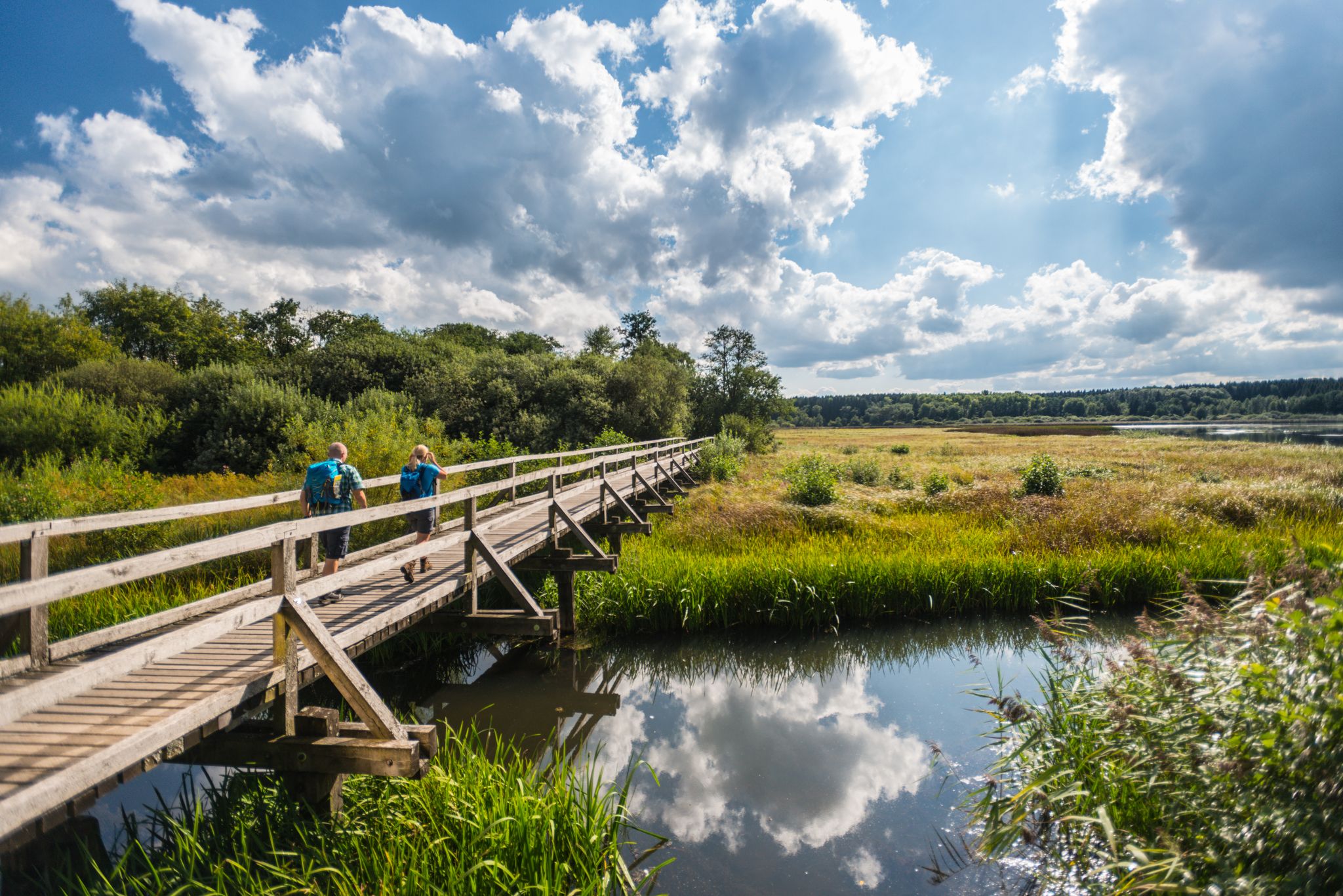
Easy hiking trails around Flammersfeld are found in the Westerwald-Sieg region of Germany, characterized by its diverse natural features. The landscape includes picturesque forests, open meadows, and the scenic Wied Valley. Trails often feature gentle ascents and descents, with some routes passing by wild streams and offering panoramic views of the surrounding countryside. The area provides accessible paths suitable for various fitness levels, focusing on natural exploration.
Best easy hiking trails around Flammersfeld
- The most popular easy hiking route is…
Last updated: May 19, 2026
4.8
(4)
12
hikers
5.94km
01:37
90m
90m
Easy hike. Great for any fitness level. Easily-accessible paths. Suitable for all skill levels.
11
hikers
Easy hike. Great for any fitness level. Easily-accessible paths. Suitable for all skill levels.

Sign up for free
7
hikers
Easy hike. Great for any fitness level. Easily-accessible paths. Suitable for all skill levels.
5.0
(5)
11
hikers
6.46km
01:45
90m
90m
Easy hike. Great for any fitness level. Easily-accessible paths. Suitable for all skill levels.
3.0
(1)
7
hikers
Easy hike. Great for any fitness level. Easily-accessible paths. Suitable for all skill levels.
Get access to more routes and recommendations from other explorers.
Sign up for free
Already have an account?
Our route recommendations are based on thousands of hikes, rides, and runs completed by other people on komoot.
Start today with a free account
Your next adventure awaits.
Login or Signup
Other adventures around Flammersfeld


Tips from the Community

Unfortunately, the old oak had to be felled due to illness. What remains is the large tree stump.
0
0

The path in July 2022 a bit overgrown.
0
0
From a distance it looks like a real house.
0
0
Unfortunately, only a torso about 5 meters high remains of the oak.
4
0
A walk through the garden is worthwhile because there are other buildings here, including a bakery and numerous information boards.
5
0

The house offers interesting guided tours, also for students, about the cooperative idea, which is part of the intangible cultural heritage.
0
0

Very neat half-timbered house
0
0
Frequently Asked Questions
How many easy hiking trails are there in Flammersfeld?
Flammersfeld offers a good selection of easy hiking trails, with 13 routes specifically categorized as easy. In total, there are 33 hiking routes available in the area, catering to various preferences.
What is the typical terrain like on easy hikes around Flammersfeld?
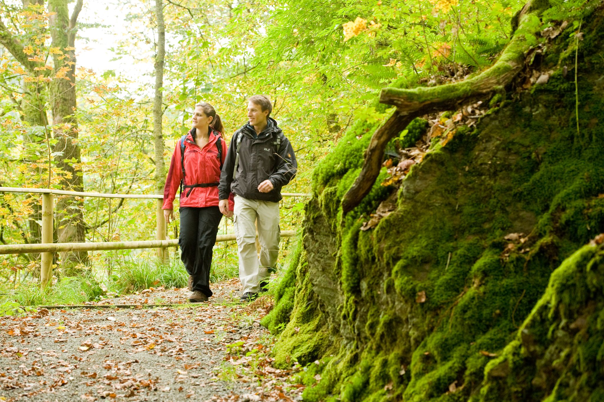
The easy hikes around Flammersfeld feature diverse and picturesque terrain. You can expect to walk through beautiful forests, open meadows, and along the scenic Wied Valley. Trails generally have gentle ascents and descents, making them accessible for various fitness levels. Some routes may pass by wild streams or offer panoramic views of the surrounding countryside.
Are there any circular routes for easy hiking in Flammersfeld?
Yes, many of the easy hiking trails around Flammersfeld are designed as circular routes, allowing you to start and end at the same point. For example, the Hiking loop from Flammersfeld is a popular easy circular trail that takes you through forested areas and open countryside.
What natural features can I expect to see on easy hikes?
On easy hikes around Flammersfeld, you'll encounter a variety of natural beauty. The region is known for its picturesque forests and the scenic Wied Valley. You might also discover wild streams, gentle mountain peaks, and areas with a 'little Allgäu feeling' characterized by large farms and rural scenery. Some routes offer impressive panoramic views.
Are there any cultural or historical sights along the easy trails?
Yes, some easy trails incorporate cultural and historical points of interest. The Brunnenhof Alpaca Walk – Raiffeisen House Flammersfeld loop starts near the Raiffeisen House, offering cultural insights. The village of Flammersfeld itself has a historic old town with charming half-timbered houses, and the St. Anna Chapel from the 18th century is also notable in the region.
Are the easy hiking trails around Flammersfeld suitable for families with children?
Absolutely. The easy hiking trails in Flammersfeld are generally well-suited for families with children due to their accessible paths and gentle elevation changes. Routes like the Brunnenhof Alpaca Walk – Raiffeisen House Flammersfeld loop offer pleasant walks through the local landscape that can be enjoyed by all ages.
Can I bring my dog on the easy hiking trails?
Yes, the natural environment of Flammersfeld is generally dog-friendly. Most easy hiking trails are suitable for dogs, allowing them to enjoy the forests and open spaces with you. Always ensure your dog is under control and check for any specific local regulations or signage on individual trails.
Where can I find parking for easy hikes in Flammersfeld?
Many trailheads in and around Flammersfeld offer convenient parking options. For routes starting directly from the village, such as the Old Oak Tree in Rott – Raiffeisen House Flammersfeld loop, you can often find parking near the Raiffeisen House or other central locations. Specific parking details are usually available on individual route pages.
Are there options to reach the trailheads by public transport?
Flammersfeld is connected by local public transport, which can provide access to some trailheads. While specific bus routes and schedules vary, it's advisable to check local transport information for connections to Flammersfeld and nearby villages that serve as starting points for hikes. The Raiffeisen House in Flammersfeld often serves as a central point for many local routes.
What kind of views can I expect on these easy trails?
The easy trails around Flammersfeld offer a variety of scenic views. You can expect panoramic vistas over the Westerwald-Sieg region, especially from higher points. Many routes provide charming views of the Wied Valley, lush forests, and open meadows, sometimes with glimpses of the region's characteristic large farms and rural scenery.
What do other hikers say about the easy trails in Flammersfeld?
The easy trails in Flammersfeld are highly regarded by the komoot community, holding an impressive average rating of 4.6 stars from over 100 reviews. Hikers frequently praise the well-maintained paths, the peaceful natural surroundings, and the diverse landscapes that make for enjoyable and accessible outdoor experiences.
Are there any shorter easy walks available?
Yes, if you're looking for shorter, easy walks, Flammersfeld has options. For instance, the View of Flammersfeld Church – Raiffeisen House Flammersfeld loop is a shorter trail, typically completed in just over an hour, offering a pleasant and less strenuous option.
Most popular routes around Flammersfeld
Most popular attractions around Flammersfeld

Get inspired with the komoot mobile app


Explore more
Browse the best Hikes in other regions.
