Easy hikes and walks around Schwaigern
4.6
(11436)
48,768
hikers
127
hikes
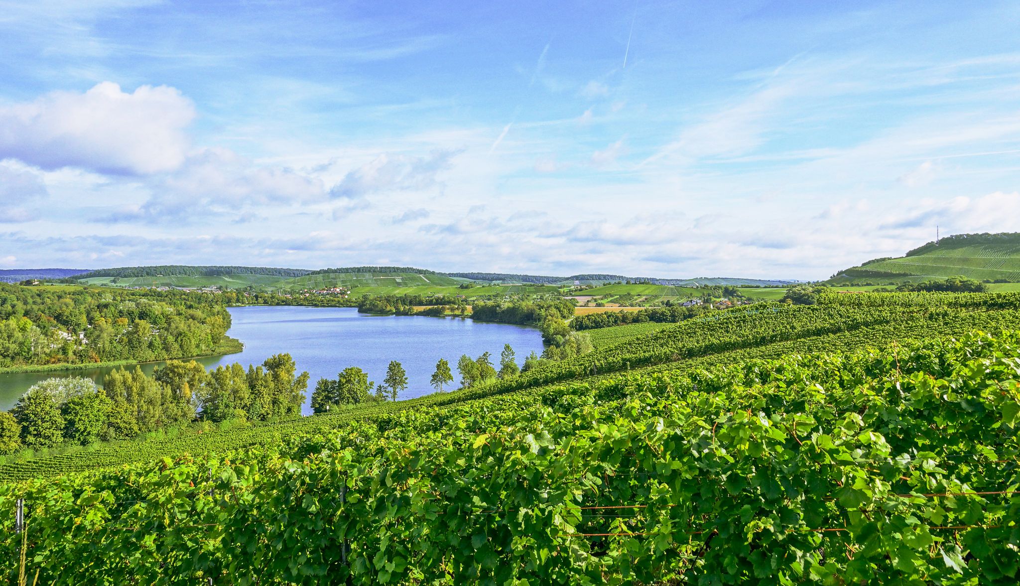
Easy hiking trails around Schwaigern are set within the Heilbronn district, characterized by rolling hills, extensive vineyards, and forest paths. The region is nestled at the foot of the Stromberg and within the Kraichgau, offering varied terrain for outdoor activities. Water bodies like the Katzenbach, Leinbach, Zaber, and Himmelsbach accompany several routes, adding to the natural scenery. The landscape includes prominent features such as the Heuchelberg and areas within the Stromberg Nature Park.
Best easy hiking trails around Schwaigern
- The…
Last updated: June 30, 2026
4.9
(22)
79
hikers
Easy hike. Great for any fitness level. Easily-accessible paths. Suitable for all skill levels.
5.0
(6)
27
hikers
Easy hike. Great for any fitness level. Easily-accessible paths. Suitable for all skill levels.

Sign up for free
4.5
(4)
15
hikers
6.67km
01:51
110m
110m
Easy hike. Great for any fitness level. Easily-accessible paths. Suitable for all skill levels.
4.8
(9)
32
hikers
4.62km
01:16
80m
80m
Easy hike. Great for any fitness level. Easily-accessible paths. Suitable for all skill levels.
5.0
(1)
26
hikers
Easy hike. Great for any fitness level. Easily-accessible paths. Suitable for all skill levels.
Get access to more routes and recommendations from other explorers.
Sign up for free
Already have an account?
Our route recommendations are based on thousands of hikes, rides, and runs completed by other people on komoot.
Start today with a free account
Your next adventure awaits.
Login or Signup
Popular around Schwaigern
Other adventures around Schwaigern

Tips from the Community

This viewing platform is simply ingenious: it offers a view in all directions to the horizon over the vineyards, which shine beautifully in the autumn sun.
3
0
Beautiful viewpoint with seating overlooking the vineyards.
4
0

Historic, quite weathered boundary stone of Schwaigern.
3
0
Beautiful view of the fields at the edge of the forest.
4
0
Historical boundary stone of Schwaigern near a forest clearing.
3
0
A striking three-trunked oak tree at a crossroads. Various hiking signs for all directions have been mounted on the tree.
4
0
Frequently Asked Questions
How many easy hiking trails are there in Schwaigern?
Schwaigern offers a wide selection of easy hiking trails, with over 79 routes specifically categorized as easy. In total, there are more than 120 hiking routes available in the region.
What is the best time of year for easy hikes in Schwaigern?
The most pleasant seasons for easy hiking in Schwaigern are generally spring and autumn. During these times, the weather is mild, and the natural colors of the vineyards and forests are particularly vibrant. Autumn, in particular, offers the beauty of the grape harvest season.
Are there circular easy walks in Schwaigern?
Yes, many easy trails in Schwaigern are designed as circular routes. For example, the Neuer Berg Forest Inn – Zweifelberg Viewing Platform loop from Neuer Berg is an easy 6.3 km circular trail, and the Lochsee – Three Oaks loop from Schwaigern offers a 6.7 km circular path around Lochsee.
What natural features can I see on easy hikes around Schwaigern?
Easy hikes in Schwaigern often lead through picturesque vineyards, rolling hills, and diverse forest paths. You can also find routes accompanied by flowing water bodies like the Katzenbach, Leinbach, Zaber, and Himmelsbach. For specific natural highlights, consider visiting the Ehmetsklinge Reservoir or the Katzenbachsee.
Are there any cultural attractions near the easy hiking trails?
Yes, the region offers cultural points of interest. You can explore the historic old town of Schwaigern or visit Neipperg Castle with its baroque garden. The Gemmingen Castle Park is also a notable attraction, and the St. Ottilien Chapel on the Ottilienberg provides a historical and religious landmark.
What do other hikers say about the easy trails in Schwaigern?
The easy trails in Schwaigern are highly regarded by the komoot community, with an average rating of 4.6 stars from over 470 reviews. Hikers often praise the quiet woodlands, well-maintained paths, and the scenic beauty of the vineyards and rolling hills.
Are there family-friendly easy hikes in Schwaigern?
Yes, Schwaigern offers family-friendly easy hikes. The 'Schwarzkittel-Weg' around Massenbachhausen, for instance, is an approximately five-kilometer circular trail particularly suitable for families, providing an educational experience about nature and animals.
Can I bring my dog on easy hikes in Schwaigern?
Most easy hiking trails in Schwaigern are dog-friendly, allowing you to enjoy the scenic landscapes with your canine companion. It's always recommended to keep dogs on a leash, especially when passing through vineyards or near wildlife, and to respect local regulations.
Are there easy hikes with good viewpoints in Schwaigern?
Absolutely. The region is known for its panoramic views. The Neuer Berg Forest Inn – Zweifelberg Viewing Platform loop from Neuer Berg leads directly to a viewing platform. Additionally, the watchtower at the eastern tip of the Heuchelberg offers breathtaking vistas of the surrounding countryside.
What kind of terrain can I expect on easy hikes in Schwaigern?
Easy hikes in Schwaigern typically feature gentle, rolling terrain. You'll encounter a mix of well-maintained forest paths, trails winding through extensive vineyards, and open sections across hills. The elevation changes are generally mild, making them suitable for all fitness levels.
Where can I find parking for easy hikes in Schwaigern?
Many trailheads for easy hikes in Schwaigern offer convenient parking. For example, the Heuchelberg Hikers' Car Park – Frankenweg Trail Parking Lot loop from Heuchelberg starts near a dedicated hikers' car park, providing easy access to the trails.
Are there any easy trails that pass by waterfalls?
While the region is rich in water bodies, a prominent waterfall directly on an easy hiking trail is less common. However, the Tuff Cliffs and Waterfall on the Neckar Cycle Path is a notable natural monument nearby that you might consider visiting.
Are there easy hikes accessible by public transport in Schwaigern?
Schwaigern has public transport connections, and some trailheads may be accessible via local buses. While specific routes aren't detailed for public transport access, planning your route in advance using local transport schedules can help you find suitable starting points for easy hikes.
Most popular routes around Schwaigern
Most popular attractions around Schwaigern

Get inspired with the komoot mobile app


Explore more
Browse the best Hikes in other regions.
