Easy hikes and walks around Bönnigheim
4.5
(15711)
69,291
hikers
81
hikes
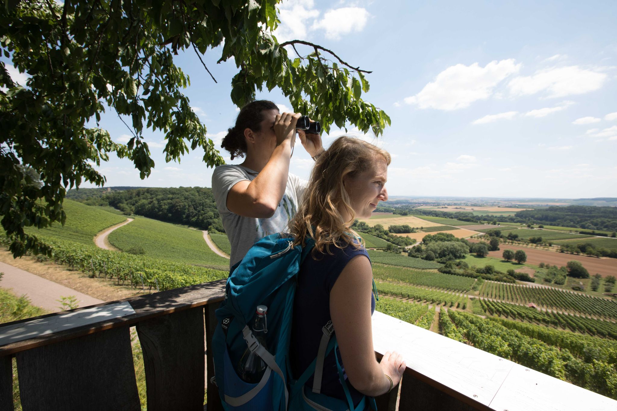
Easy hiking trails around Bönnigheim traverse a landscape characterized by rolling hills, vineyards, and diverse woodlands. The region features paths along the Neckar River and through areas like the Stromberg-Heuchelberg Nature Park. These routes often pass through orchards and offer views of the historic Kirbachtal.
Best easy hiking trails around Bönnigheim
- The most popular easy hiking route is Krappenberg Hiking Car Park – Pfeiferhütte Barbecue Area loop from Freudental, a 4.2 miles (6.8 km) trail that takes 1 hour…
Last updated: May 26, 2026
4.5
(50)
202
hikers
6.69km
01:50
100m
100m
Easy hike. Great for any fitness level. Easily-accessible paths. Suitable for all skill levels.
5.0
(8)
46
hikers
Easy hike. Great for any fitness level. Easily-accessible paths. Suitable for all skill levels.

Sign up for free
4.0
(2)
33
hikers
Easy hike. Great for any fitness level. Easily-accessible paths. Suitable for all skill levels.
4.0
(5)
17
hikers
Easy hike. Great for any fitness level. Easily-accessible paths. Suitable for all skill levels.
5.0
(3)
14
hikers
7.08km
01:55
100m
100m
Easy hike. Great for any fitness level. Easily-accessible paths. Suitable for all skill levels.
Get access to more routes and recommendations from other explorers.
Sign up for free
Already have an account?
Our route recommendations are based on thousands of hikes, rides, and runs completed by other people on komoot.
Start today with a free account
Your next adventure awaits.
Login or Signup
Popular around Bönnigheim
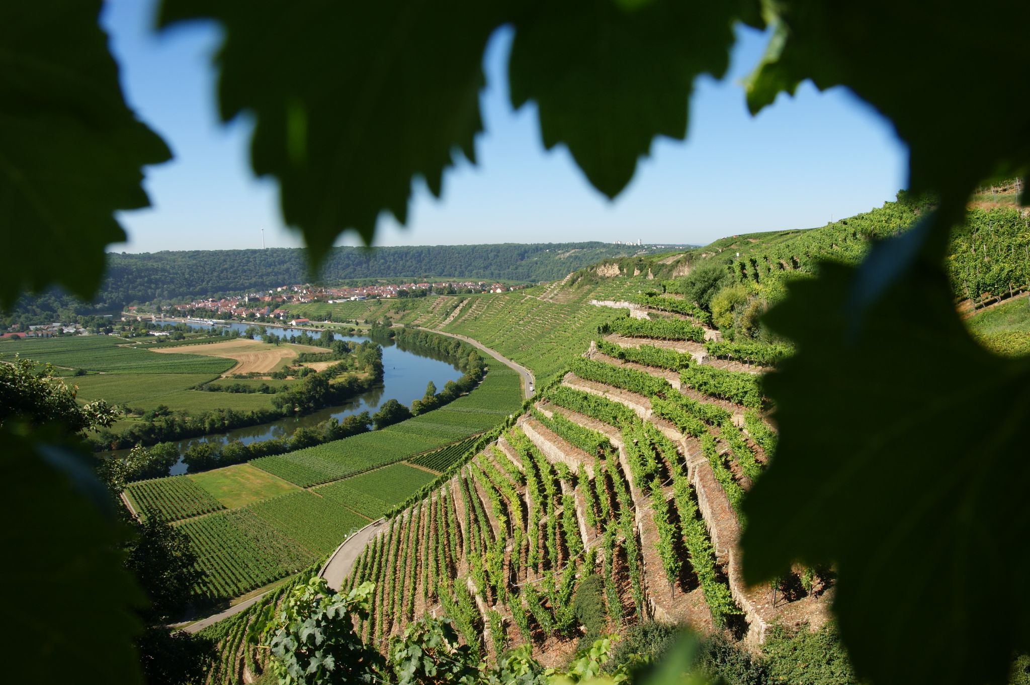
Where the wine grows in loops – hiking in the 3B-Land

Spring in the land of 1,000 hills – Kraichgau-Stromberg in Germany
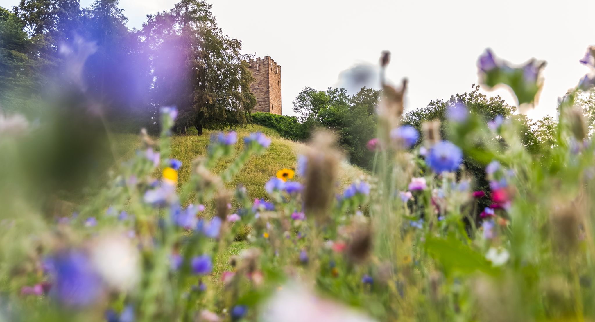
On foot in the nature park Stromberg-Heuchelberg
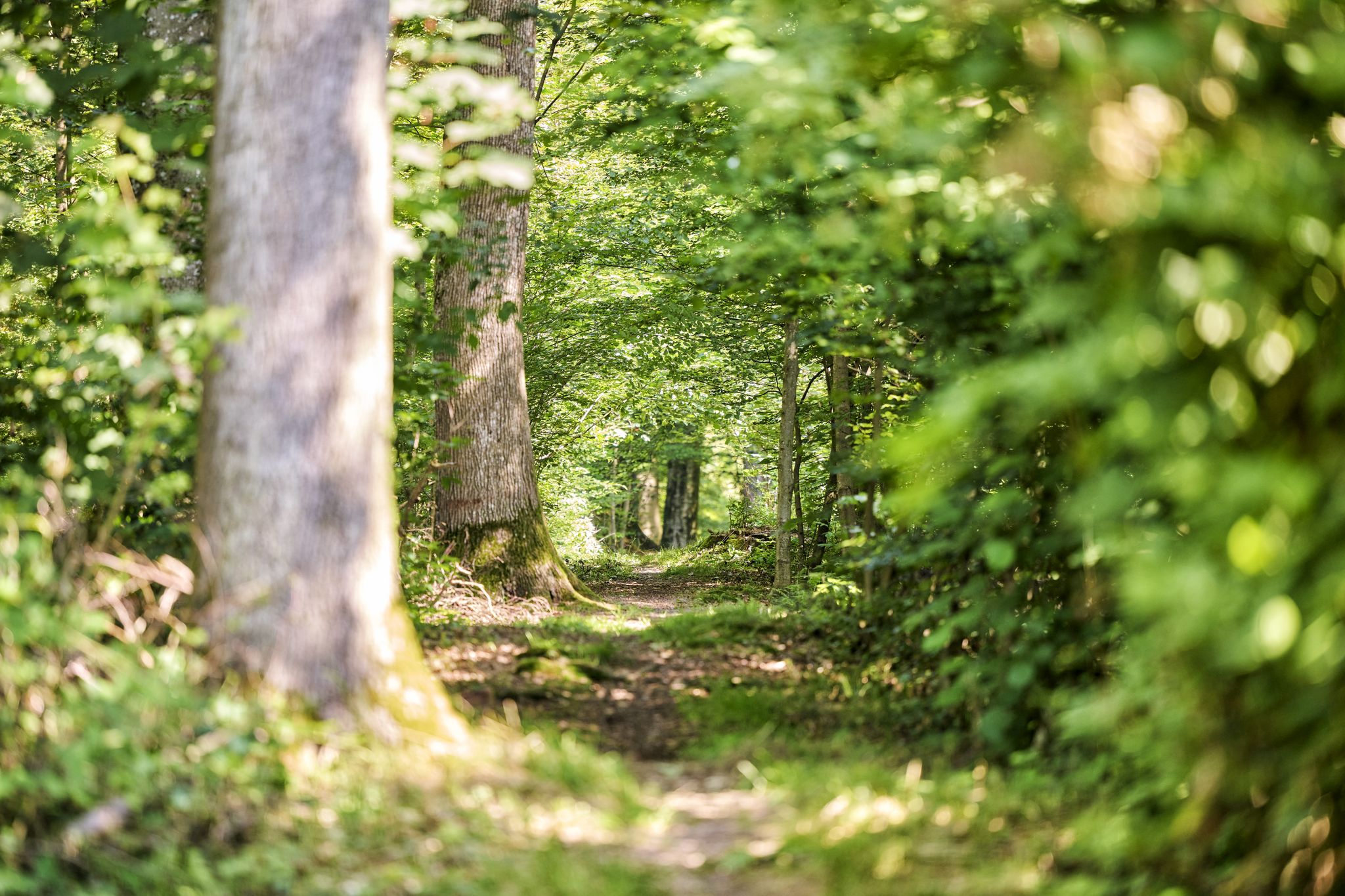
Trail running between woodlands & wine in the Land of 1000 Hills
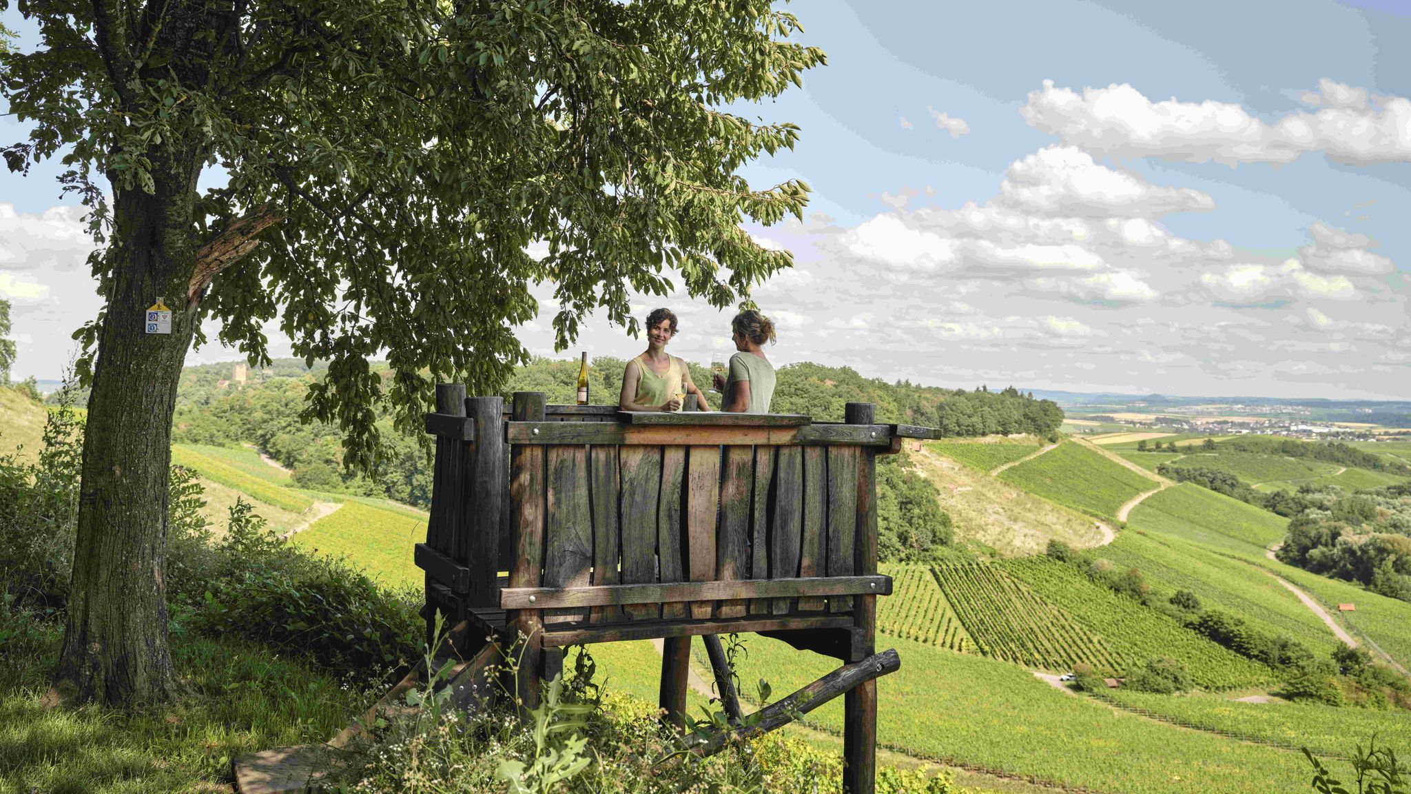
Genusswandern: Auf Wein(wander)wegen durch das Land der 1000 Hügel

Wander3Klänge: Einfach Los Wandern im Naturpark Stromberg-Heuchelberg

Zu Fuß durchs Land der 1000 Hügel
7 aussichtsreiche Wandertouren im Land der 1000 Hügel
Other adventures around Bönnigheim

Tips from the Community

View of the Michaelsberg
0
0
Vineyard land consolidation 2020/21
0
0
Sunny view of the Michaelsberg and the Katharinenplaisir
0
0
View of Neckarwestheim and the Löwenstein Mountains in the background
0
0
View of the pyramid with Michaelsberg in the background
0
0
Schloßberg vineyard consolidation with views of the surrounding communities
0
0
Frequently Asked Questions
How many easy hiking trails are there around Bönnigheim?
Bönnigheim offers a wide selection of easy hiking trails, with over 50 routes specifically categorized as easy. These trails traverse diverse landscapes, including vineyards, forests, and river valleys, providing accessible options for various preferences.
What kind of landscapes can I expect on easy hikes near Bönnigheim?
Easy hikes around Bönnigheim feature a picturesque mix of rolling hills, expansive vineyards, and dense forests. You'll find paths along the Neckar River, through orchards, and within the varied terrain of the Stromberg-Heuchelberg Nature Park. Many routes also offer views of the historic Kirbachtal.
Are there easy circular routes available in Bönnigheim?
Yes, Bönnigheim has several easy circular routes. For example, the Krappenberg Hiking Car Park – Pfeiferhütte Barbecue Area loop from Freudental is a popular 4.2-mile (6.8 km) trail. Another option is the Krappenberg Hiking Car Park – Freudentaler Weg loop from Freudental, which is an easy 3.2-mile (5.1 km) path.
Are the easy hiking trails around Bönnigheim suitable for families?
Absolutely. The easy trails around Bönnigheim are generally well-suited for families, offering gentle terrain and manageable distances. Many routes pass through pleasant forests and open areas, providing a relaxed outdoor experience for all ages. The relatively flat sections along the Neckar River are particularly family-friendly.
Can I bring my dog on easy hikes in Bönnigheim?
Yes, many easy hiking trails in Bönnigheim are dog-friendly. The diverse landscapes, including forests and open paths, provide ample space for dogs to enjoy. Always ensure your dog is on a leash where required and be mindful of local regulations, especially when passing through vineyards or near livestock.
What are some scenic viewpoints or natural attractions along easy trails?
On easy trails, you can discover several natural highlights. The region is known for its picturesque vineyards and the Neckar River. Nearby, you can find the Hessigheim Rock Gardens, which feature rugged shell limestone cliffs offering wonderful views above the Neckar. The View of the Neckar from the Hessigheimer Felsengärten is a particularly notable viewpoint.
Are there any historical or cultural sights to see on easy walks?
Yes, Bönnigheim itself boasts a historic old town with half-timbered houses and an impressive castle complex. Some hiking routes might pass by cultural points of interest like the Michaelsberg or the Jewish Cemetery in Freudental. You can also find the Historical Stone Marker on the Stromberg Swabian Forest Trail, which adds a cultural dimension to your walk.
What is the best time of year for easy hiking in Bönnigheim?
The best seasons for easy hiking in Bönnigheim are spring and autumn. In spring, the landscape comes alive with blooming flowers and plants. Autumn offers a stunning display of golden leaves across the vineyards and forests, creating a picturesque backdrop for your walks.
How can I access the easy hiking trails around Bönnigheim using public transport?
While Bönnigheim is well-connected by road, specific public transport options to trailheads can vary. It's advisable to check local bus schedules for connections from Bönnigheim's town center to nearby villages or specific starting points. Many trails are accessible from the town itself or short bus rides away.
Where can I park when starting an easy hike in Bönnigheim?
Many trailheads for easy hikes around Bönnigheim, especially those starting from areas like Freudental, offer designated parking. For instance, the Krappenberg Hiking Car Park is a common starting point for several popular loops. Look for signs indicating 'Wanderparkplatz' (hiking car park) near trail entrances.
What do other hikers enjoy the most about hiking in Bönnigheim?
The easy hiking trails around Bönnigheim are highly rated by the komoot community, with an average score of 4.5 stars. Reviewers often praise the region's diverse scenery, including the beautiful vineyards and tranquil forests, as well as the well-maintained paths suitable for relaxed walks.
Are there any easy trails that lead to a place for a break or picnic?
Yes, some easy trails incorporate pleasant spots for breaks. The Krappenberg Hiking Car Park – Pfeiferhütte Barbecue Area loop from Freudental, for example, leads to the Pfeiferhütte, a pleasant barbecue area perfect for a picnic or rest during your hike.
Most popular routes around Bönnigheim
Most popular attractions around Bönnigheim

Get inspired with the komoot mobile app


Explore more
Browse the best Hikes in other regions.
