Easy hikes and walks around Obersontheim
4.6
(5245)
21,711
hikers
111
hikes
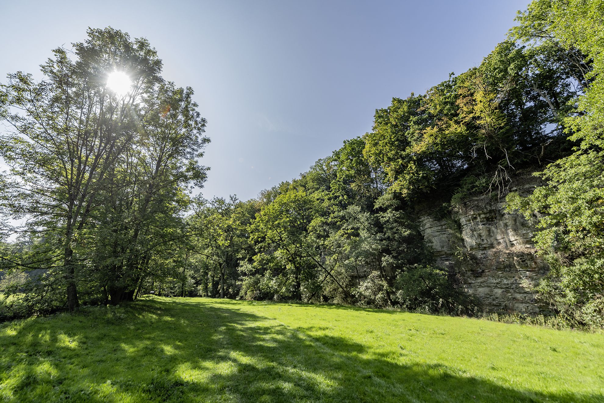
Easy hiking trails around Obersontheim traverse a landscape characterized by rolling hills and the expansive Hohenlohe plain. The region is shaped by the Bühlertal and Fischachtal river valleys, which contribute to a varied terrain with extensive forests. Hikers can explore idyllic forest paths, ponds, and wooded ridges within the Limpurger Mountains, alongside unique open gypsum keuper landscapes.
Best easy hiking trails around Obersontheim
- The most popular easy hiking route is Small Pond – Steinwiesen Brünnele loop from Obersontheim, a…
Last updated: August 24, 2026
3.7
(3)
13
hikers
5.09km
01:20
40m
30m
Easy hike. Great for any fitness level. Easily-accessible paths. Suitable for all skill levels.
4.2
(5)
14
hikers
3.64km
01:00
60m
60m
Easy hike. Great for any fitness level. Easily-accessible paths. Suitable for all skill levels.

Sign up for free
3.0
(3)
16
hikers
3.11km
00:49
20m
20m
Easy hike. Great for any fitness level. Easily-accessible paths. Suitable for all skill levels.
5.0
(3)
11
hikers
Easy hike. Great for any fitness level. Easily-accessible paths. Suitable for all skill levels.
3.0
(3)
13
hikers
6.58km
01:45
70m
70m
Easy hike. Great for any fitness level. Easily-accessible paths. Suitable for all skill levels.
Get access to more routes and recommendations from other explorers.
Sign up for free
Already have an account?
Our route recommendations are based on thousands of hikes, rides, and runs completed by other people on komoot.
Start today with a free account
Your next adventure awaits.
Login or Signup
Popular around Obersontheim
Other adventures around Obersontheim

Tips from the Community

It is a pleasure to look out over the vastness.
1
0

Starting point parking lot at the dog club
0
0

Mega beautiful landscape with vision!
2
0

Wonderful landscape with a beautiful view.
2
0

Great landscape! After the steep climb you have a great view.
2
0
Frequently Asked Questions
How many easy hiking trails are available in Obersontheim?
Obersontheim offers a wide selection of easy hiking trails, with over 60 routes specifically categorized as easy. In total, the region features more than 120 hiking routes, catering to various preferences and fitness levels.
What kind of landscape can I expect on easy hikes around Obersontheim?
Easy hikes around Obersontheim traverse a diverse landscape characterized by rolling hills and the expansive Hohenlohe plain. You'll find idyllic forest paths, ponds, and wooded ridges within the Limpurger Mountains, alongside unique open gypsum keuper landscapes. The region is also shaped by the scenic Bühlertal and Fischachtal river valleys.
Are there any easy circular walks in Obersontheim?
Yes, Obersontheim offers several easy circular walks. For example, the Ernstbach confluence loop from Untersontheim is an easy 3.1 km trail that allows you to explore the local nature in a convenient loop.
What are some natural features or landmarks I can see on easy trails?
Many easy trails will lead you past notable natural features and landmarks. You might encounter the unique Devil's Pulpit, or serene bodies of water like Starkholzbacher Lake and Haspel Lake. The region's river valleys, such as the Bühlertal and Fischachtal, also offer picturesque views.
Are the easy hiking trails in Obersontheim suitable for families with children?
Yes, many of the easy hiking trails in Obersontheim are well-suited for families. The gentle terrain and shorter distances make them ideal for children. Routes that explore the extensive forests or pass by ponds can be particularly engaging for younger hikers.
Can I bring my dog on the easy hiking trails?
Generally, dogs are welcome on the hiking trails in Obersontheim. The region's diverse landscapes, including forest paths and open areas, provide a great environment for walks with your canine companion. Always remember to keep your dog on a leash where required and clean up after them.
When is the best time of year to go easy hiking in Obersontheim?
Obersontheim is beautiful year-round. Spring offers blossoming orchards, summer provides warm temperatures for outdoor pursuits, and autumn transforms the forests into a colorful spectacle. Even winter, with its snowy environment, can be enchanting for easy walks. The well-developed trail network ensures accessibility in most seasons.
Are there any easy trails that offer good viewpoints?
While many easy trails focus on the valley floors and forests, the region does offer viewpoints accessible from various routes. For instance, the Sequoias loop from Hagenbusch, though not directly a viewpoint trail, offers varied terrain that can lead to elevated sections with glimpses of the surrounding area. For panoramic views, you might need to combine an easy walk with a short ascent to locations like Schlossberg or Kirchberg Lookout Point.
What do other hikers say about the easy trails in Obersontheim?
The easy hiking trails in Obersontheim are highly rated by the komoot community, with an average score of 4.4 stars from over 190 reviews. Hikers often praise the quiet woodlands, the well-marked paths, and the diverse natural scenery that makes for a relaxing outdoor experience.
Is parking available near the easy hiking trailheads?
Yes, parking is generally available near the trailheads of many easy hiking routes in Obersontheim. As the region is well-equipped for outdoor activities, you will typically find designated parking areas in villages or at popular starting points for trails.
Are there any historical sites or towns near the easy hiking routes?
Yes, the region around Obersontheim is rich in history. You can find historical sites like Gaildorf — Old Town and Castle or the charming Vellberg Old Town. While not directly on every easy trail, these are often a short drive away and can be combined with a hike for a full day of exploration.
How long do easy hikes in Obersontheim typically take?
Easy hikes in Obersontheim vary in length, but many can be completed within 1 to 2 hours. For example, the Ernstbach confluence loop from Untersontheim is about 3.1 km and takes approximately 50 minutes, making it perfect for a leisurely stroll.
Most popular routes around Obersontheim
Most popular attractions around Obersontheim

Get inspired with the komoot mobile app


Explore more
Browse the best Hikes in other regions.
