Easy hikes and walks around Münnerstadt
4.5
(9609)
37,616
hikers
215
hikes
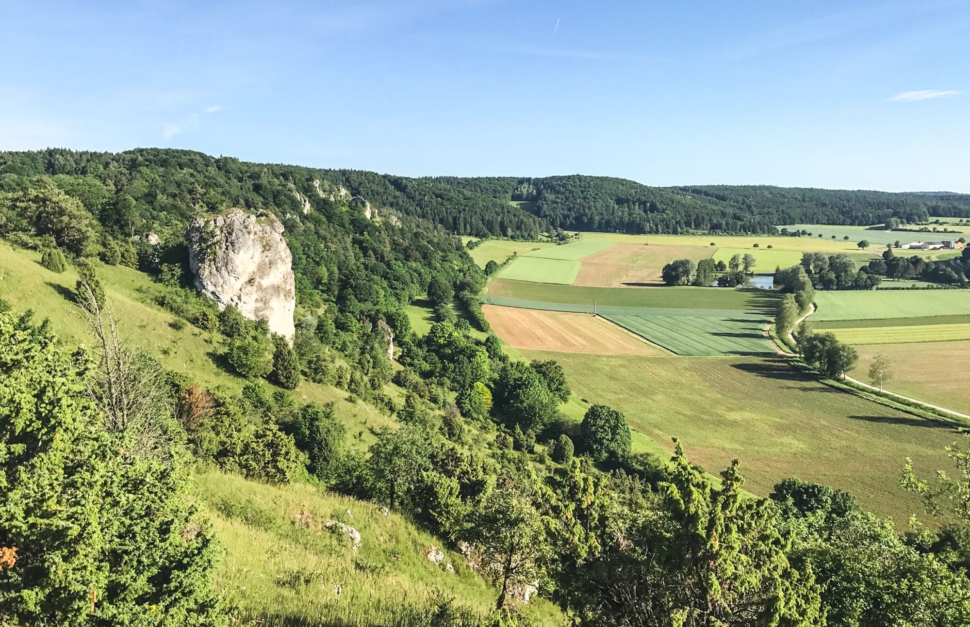
Easy hiking trails around Münnerstadt offer access to the varied landscapes of the region. The area is characterized by gentle hills, river valleys, and open countryside, providing accessible routes for all skill levels. These trails often feature scenic viewpoints and pass through local landmarks. The terrain is generally mild, making it suitable for relaxed walks and family outings.
Best easy hiking trails around Münnerstadt
- The most popular easy hiking route is Hainberg Tower – picture oak loop from Wurmberg-Possenberg,…
Last updated: July 5, 2026
4.9
(17)
35
hikers
6.54km
01:48
110m
110m
Easy hike. Great for any fitness level. Easily-accessible paths. Suitable for all skill levels.
4.6
(8)
49
hikers
Easy hike. Great for any fitness level. Easily-accessible paths. Suitable for all skill levels.

Sign up for free
4.8
(13)
49
hikers
Easy hike. Great for any fitness level. Easily-accessible paths. Suitable for all skill levels.
4.7
(6)
39
hikers
Easy hike. Great for any fitness level. Easily-accessible paths. Suitable for all skill levels.
4.8
(20)
39
hikers
7.14km
02:00
140m
140m
Easy hike. Great for any fitness level. Easily-accessible paths. Suitable for all skill levels.
Get access to more routes and recommendations from other explorers.
Sign up for free
Already have an account?
Our route recommendations are based on thousands of hikes, rides, and runs completed by other people on komoot.
Start today with a free account
Your next adventure awaits.
Login or Signup



Other adventures around Münnerstadt


Tips from the Community

A walk along the town wall of Münnerstadt is like a little journey into history. As early as 1251, the town was surrounded by a mighty fortification with four large gate towers. Parts of this medieval town wall are still preserved today.
0
0

A pleasant companion on the edge of the forest
0
0

Very beautiful hiking trails through the juniper heath near Münnerstadt
1
0
Very nice wide view
1
0
New rest bench in front of the information board
1
0
A decorated shrub on the Michelsberg
1
0
Frequently Asked Questions
How many easy hiking trails are available in Münnerstadt?
Münnerstadt offers a wide selection of easy hiking trails, with over 110 routes specifically categorized as easy. The region features gentle hills, river valleys, and open countryside, making it accessible for all skill levels.
What is the typical duration for easy hikes in Münnerstadt?
Easy hikes in Münnerstadt vary in length, but many can be completed within 1.5 to 2.5 hours. For example, the Hainberg Tower – picture oak loop from Wurmberg-Possenberg takes about 1 hour 48 minutes, while the Upper Gate, Münnerstadt – Münnerstadt Market Square loop from Münnerstadt is around 1 hour 56 minutes.
Are there family-friendly easy hikes in Münnerstadt?
Yes, many easy trails in Münnerstadt are suitable for families. The mild terrain and scenic paths are ideal for relaxed walks with children. Routes like the Münnerstadt Panorama Viewpoint – Münnerstadt Panorama loop from Münnerstadt offer manageable distances and rewarding views.
Are dogs allowed on the easy hiking trails around Münnerstadt?
Generally, dogs are welcome on the hiking trails around Münnerstadt, provided they are kept on a leash, especially in nature protection areas or near livestock. It's always advisable to carry water for your dog and dispose of waste properly.
What interesting sights can I see along easy hiking trails in Münnerstadt?
Many easy trails pass by significant landmarks and natural attractions. You can explore historical sites like the Ruins of Botenlauben Castle or Aschach Castle. Some routes also offer views of local lakes such as Ellertshäuser Lake or Sulzfelder Lake.
Are there circular easy hiking routes in Münnerstadt?
Yes, many easy trails in Münnerstadt are designed as circular routes, allowing you to start and end at the same point. Examples include the Hainberg Tower – picture oak loop from Wurmberg-Possenberg and the Weir on the Lauer – Auwiesen in the Lauertal loop from Althausen.
What is the best time of year for easy hikes in Münnerstadt?
The best time for easy hikes in Münnerstadt is typically from spring to autumn (April to October), when the weather is mild and the landscapes are vibrant. However, with appropriate gear, some trails are also enjoyable for winter walks.
Which easy hikes offer the best viewpoints in Münnerstadt?
For panoramic views, consider the Münnerstadt Panorama Viewpoint – Münnerstadt Panorama loop from Münnerstadt. Another excellent option is the Hainberg Tower – picture oak loop from Wurmberg-Possenberg, which leads to Hainberg Tower, offering expansive vistas of the surrounding area.
Is parking available near the easy hiking trails in Münnerstadt?
Yes, parking is generally available at the starting points of many easy hiking trails, especially in and around Münnerstadt's villages and popular trailheads. Specific parking information can often be found on individual route pages.
Can I reach easy hiking trails in Münnerstadt by public transport?
Münnerstadt and its surrounding areas are served by local bus routes, which can provide access to some trailheads. For specific routes, it's recommended to check local public transport schedules to plan your journey to the starting point of your chosen hike.
What do other hikers say about the easy trails in Münnerstadt?
The easy trails in Münnerstadt are highly rated by the komoot community, with an average score of 4.6 stars from over 1,000 reviews. Hikers often praise the well-maintained paths, the peaceful natural surroundings, and the scenic viewpoints that make these routes enjoyable for all.
Are there cafes or places to eat near the easy hiking trails?
Yes, you can often find cafes or traditional Bavarian eateries in Münnerstadt itself or in the smaller villages along some of the routes. For example, the Beer Garden at Sulzfeld Bathing Lake is a popular spot near some trails.
Most popular routes around Münnerstadt
Most popular attractions around Münnerstadt

Get inspired with the komoot mobile app


Explore more
Browse the best Hikes in other regions.
