Easy hikes and walks around Wittighausen
4.6
(3021)
11,423
hikers
28
hikes
Easy hiking trails around Wittighausen are characterized by rolling hills, expansive agricultural fields, and dense forest sections. The region, part of the "Liebliches Taubertal," features a gentle topography, offering wide vistas and tranquil environments. Hikers can explore routes along the Wittig and Grünbach rivers, providing pleasant walks through riverine landscapes. The landscape includes wooded areas that offer shade and opportunities to observe local wildlife.
Best easy hiking trails around Wittighausen
- The most popular easy hiking route is Wayside shrine from…
Last updated: May 24, 2026
5.0
(5)
8
hikers
Easy hike. Great for any fitness level. Easily-accessible paths. Suitable for all skill levels.
3.7
(3)
9
hikers
Easy hike. Great for any fitness level. Easily-accessible paths. Suitable for all skill levels.

Sign up for free
3.0
(1)
9
hikers
2.83km
00:49
70m
70m
Easy hike. Great for any fitness level. Easily-accessible paths. Suitable for all skill levels.
6
hikers
6.37km
01:44
90m
90m
Easy hike. Great for any fitness level. Easily-accessible paths. Suitable for all skill levels.
5.0
(2)
5
hikers
Easy hike. Great for any fitness level. Easily-accessible paths. Suitable for all skill levels.
Get access to more routes and recommendations from other explorers.
Sign up for free
Already have an account?
Our route recommendations are based on thousands of hikes, rides, and runs completed by other people on komoot.
Start today with a free account
Your next adventure awaits.
Login or Signup

Tips from the Community

The poplars are planted to protect against hawks. This is also called a silvopastoral system, a combination of agriculture and forestry.
1
0

Bench for breaks and shared benches at the hiker's car park.
0
0
Small hiking car park with information board.
0
0
The forest chapel was built in 1840.
0
0
Wikipedia... The Way of the Cross in Wittighausen was commissioned by the Henneberger family in the 19th century and consists of 14 cast-iron station plaques (renovated in 2016), at the end of the path there is a forest chapel built in 1840.
0
0

Old waystone with distance information right next to it is a new "passenger bench"
0
0
all stations of the cross with a small chapel at the end
0
0

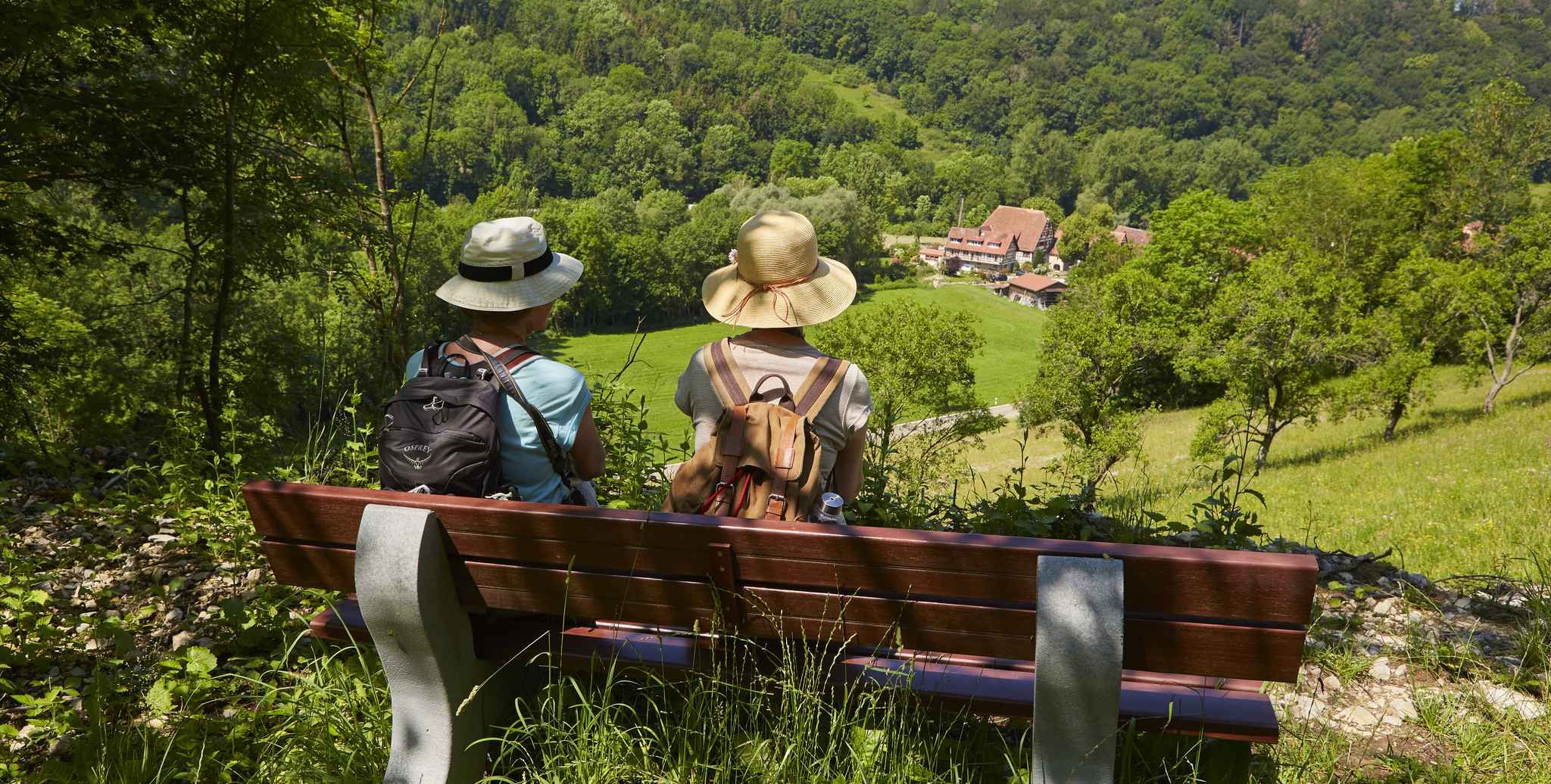
Bench at the edge of the forest with a wide view of the landscape. Nice to watch how the colors change over the course of the year.
0
0
Frequently Asked Questions
How many easy hiking trails are available in Wittighausen?
Wittighausen offers a good selection of easy hiking trails, with over 19 routes specifically categorized as easy. In total, there are more than 30 hiking routes in the area, catering to various preferences.
What kind of landscape can I expect on easy hikes around Wittighausen?
Easy hikes in Wittighausen traverse a diverse landscape characterized by rolling hills, expansive agricultural fields, and dense forest sections. You'll find wide vistas and tranquil environments, with some routes also following the pleasant riverine landscapes of the Wittig and Grünbach valleys.
Are there any historical or cultural landmarks to see on easy trails?
Yes, the region is rich in cultural history. Many trails, like the Kapellen-Rundwanderweg routes, pass numerous historic chapels and wayside shrines (Bildstock). For example, the Hofkapelle Hof Lilach – Wayside shrine from 1456 loop from Wittighausen features a historic wayside shrine. You can also find information about the historic Wittighausen Church along some routes.
Can I find easy circular hiking routes in Wittighausen?
Absolutely. Wittighausen is known for its well-signposted circular hiking trails. Many easy routes, such as the Wayside shrine from 1731 – Christ the Redeemer statue loop from Wittighausen, are designed as loops, bringing you back to your starting point.
Are the easy hiking trails in Wittighausen suitable for families with children?
Yes, the gentle topography and focus on accessible paths make many easy trails in Wittighausen suitable for families. Routes with minimal inclines and varied scenery, like the Hiking loop from Wittighausen, are ideal for outings with children.
Are dogs allowed on the easy hiking trails in Wittighausen?
Generally, dogs are welcome on hiking trails in Wittighausen. It's always recommended to keep your dog on a leash, especially when passing through agricultural fields or near wildlife, and to respect local regulations.
What is the best time of year to go hiking on easy trails in Wittighausen?
The 'Liebliches Taubertal' region, including Wittighausen, offers pleasant hiking experiences throughout much of the year. Spring and autumn provide comfortable temperatures and beautiful scenery, while summer offers shaded forest sections for cooler walks. Even winter can be enjoyable on easy, well-maintained paths.
Are there shaded routes for summer hikes in Wittighausen?
Yes, the landscape around Wittighausen includes dense forest areas that provide excellent shade for summer hikes. Routes that traverse these wooded sections offer a cooler alternative during warmer months, allowing you to observe local wildlife in comfort.
How can I reach the easy hiking trails in Wittighausen using public transport?
Wittighausen and Gaubüttelbrunn train stations serve as access points for some of the hiking trails. Informative signs and flyers detailing routes are often available at these stations, making it convenient to start your hike upon arrival.
Is parking available near the easy hiking trailheads?
Yes, information about specific hiking routes, including parking availability, is often provided at various points such as the town centers of Unterwittighausen and Vilchband, and near key chapels like the Sigismund Chapel. These points often serve as starting locations for circular trails.
What do other hikers say about the easy trails in Wittighausen?
The easy trails in Wittighausen are highly rated by the komoot community, with an average score of 4.6 stars from over 1000 reviews. Hikers often praise the tranquil environments, varied scenery, and well-marked paths that make for enjoyable and accessible outings.
Are there any easy routes that follow rivers or valleys?
Yes, Wittighausen features routes that lead along the Wittig and Grünbach rivers. These trails offer pleasant walks through riverine landscapes, providing a different scenic experience compared to the rolling hills and forests.
Can I combine an easy hike with a visit to a nearby castle?
While Wittighausen itself is known for its chapels and shrines, the broader region offers opportunities to combine easy hikes with visits to historical sites. For example, you could explore the Tauberbischofsheim Old Town or the Deutschordensschloss Bad Mergentheim, which are within reasonable distance and can be part of a day trip.
Are there any short, easy hikes for a quick outing?
Yes, for a quick and easy outing, you can find shorter routes. The Hiking loop from Wittighausen is a good option, being only 1.8 miles (2.8 km) long and typically completed in about 50 minutes, leading through local hills.
Most popular routes around Wittighausen
Most popular attractions around Wittighausen

Get inspired with the komoot mobile app


Explore more
Browse the best Hikes in other regions.
