Easy hikes and walks around Gehlberg
4.6
(3453)
11,370
hikers
131
hikes
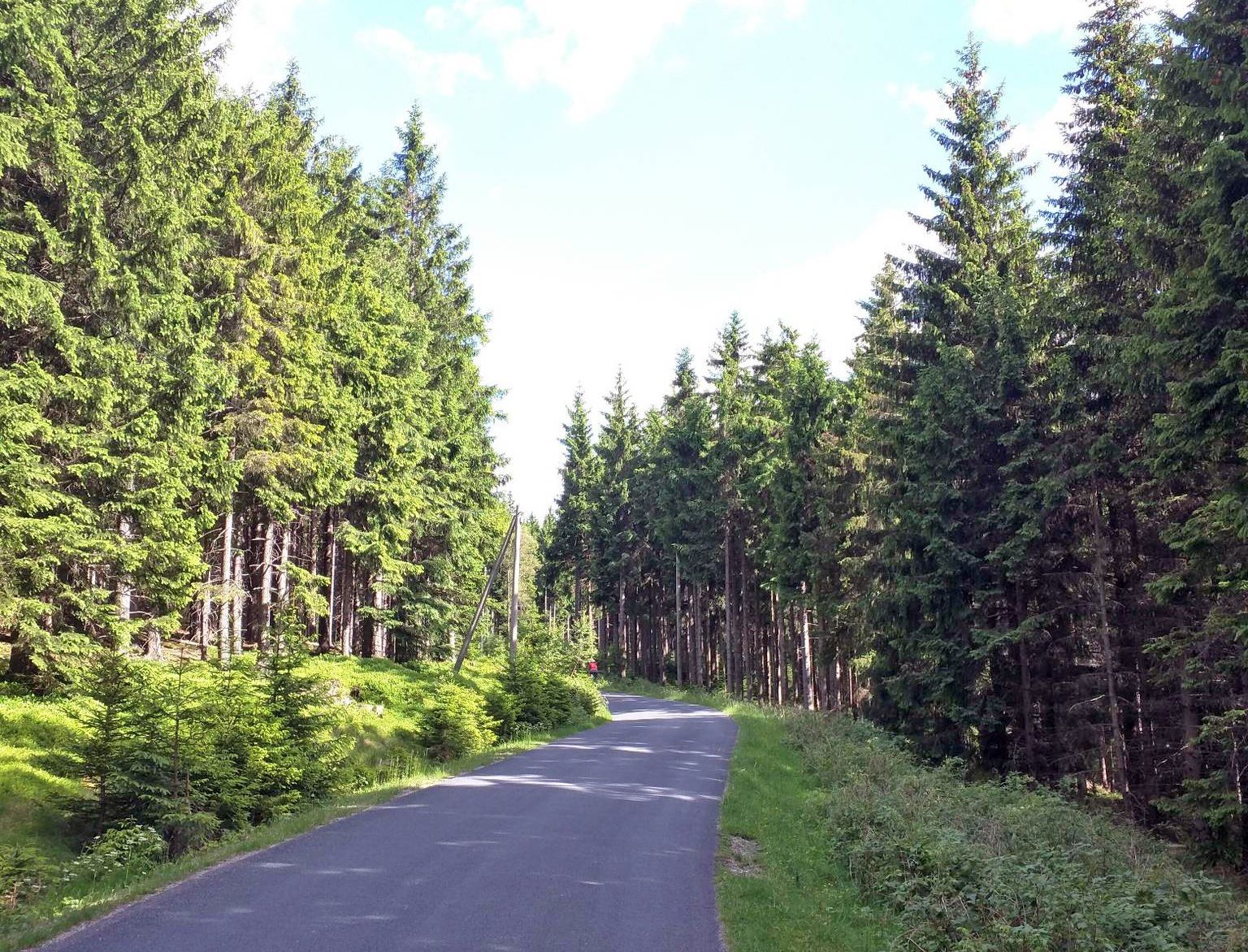
Easy hiking trails around Gehlberg are situated within the UNESCO Biosphere Reserve Thuringian Forest, a region characterized by mountainous terrain and elevations between 760 and 800 meters. The landscape features dark mountain forests, moist meadows, and graceful valleys, offering varied scenery for outdoor activities. Notable surrounding peaks include Schneekopf (978 m) and Großer Beerberg (983 m). This area provides a comprehensive network of trails suitable for exploring its natural beauty.
Best easy hiking trails around Gehlberg
- The most popular easy…
Last updated: October 3, 2026
4.8
(247)
762
hikers
Easy hike. Great for any fitness level. Easily-accessible paths. Suitable for all skill levels.
4.8
(258)
762
hikers
Easy hike. Great for any fitness level. Easily-accessible paths. Suitable for all skill levels.

4.7
(81)
271
hikers
Easy hike. Great for any fitness level. Easily-accessible paths. Suitable for all skill levels.
4.7
(91)
490
hikers
Easy hike. Great for any fitness level. Easily-accessible paths. Suitable for all skill levels.
4.8
(32)
66
hikers
6.22km
01:45
130m
130m
Easy hike. Great for any fitness level. Easily-accessible paths. Suitable for all skill levels.
Get access to more routes and recommendations from other explorers.
Already have an account?
Our route recommendations are based on thousands of hikes, rides, and runs completed by other people on komoot.
Start today with a free account
Your next adventure awaits.




Tips from the Community

Definitely worth seeing
0
0


Bruno's Rest, a lovely spot for a break
0
0

Nice rest area, roughly halfway along the mountain path. Great view towards Ausgebrannter Stein.
0
0

Very nice forest path on the way to Schneekopf
0
0

Delicious food and a beautiful view
1
0
Frequently Asked Questions
How many easy hiking trails are available in Gehlberg?
Gehlberg offers a comprehensive network of trails, with 42 specifically categorized as easy. In total, there are over 140 hiking routes in the area, catering to various skill levels.
What kind of scenery can I expect on easy hikes around Gehlberg?
Easy hikes in Gehlberg traverse diverse landscapes within the UNESCO Biosphere Reserve Thuringian Forest. You'll experience dark mountain forests, moist meadows, and graceful valleys. The region is characterized by mountainous terrain, offering varied and picturesque views.
Are there circular easy walks in Gehlberg?
Yes, many of the easy hiking trails in Gehlberg are circular routes, perfect for exploring without retracing your steps. For example, the Teufelskanzel (Devil's Pulpit) Viewpoint – Gera Valley Viewpoint loop from Kernzone Schneekopfmoor is a popular option, as is the View of Oberhof – Teufelskanzel (Devil's Pulpit) Viewpoint loop from Gehlberg.
What are some notable viewpoints on the easy hiking trails?
Several easy trails lead to stunning viewpoints. The Teufelskanzel (Devil's Pulpit) Viewpoint – Gera Valley Viewpoint loop offers views of the Gera Valley and the Teufelskanzel. Another route, the View of Oberhof – Teufelskanzel (Devil's Pulpit) Viewpoint loop, provides scenic vistas towards Oberhof.
Are the easy hiking trails in Gehlberg suitable for families with children?
Yes, many easy trails in Gehlberg are suitable for families. Routes like the Gera Valley Viewpoint – View of Oberhof loop from Gehlberg are relatively short (around 4.4 km) and have moderate elevation changes, making them enjoyable for younger hikers. The varied terrain and natural beauty provide an engaging experience for all ages.
Can I bring my dog on the easy hiking trails in Gehlberg?
Most easy hiking trails in the Thuringian Forest, including those around Gehlberg, are dog-friendly. It's generally recommended to keep dogs on a leash, especially in forested areas and near wildlife. Always ensure your dog is well-behaved and that you clean up after them.
What natural attractions can I explore near the easy hiking routes?
Beyond the trails themselves, you can explore several natural attractions. The region is home to significant peaks like Schneekopf and Großer Beerberg. Additionally, you can find beautiful lakes such as Lütsche Dam and Upper Sieglitz Pond, which are often accessible via nearby paths.
Are there any historical sites or castles near the easy hiking trails?
While the easy trails focus on natural beauty, the broader region around Gehlberg features historical sites. You can find castles like Elgersburg Castle and the Ruins of the Raubschloss (Old Castle). These can be interesting additions to your visit, though they might require a short drive from the immediate easy hiking areas.
What is the best time of year for easy hikes in Gehlberg?
Gehlberg is suitable for outdoor recreation throughout the year. While spring and autumn offer vibrant colors and pleasant temperatures, the region is also considered snow-sure, making it ideal for winter hiking on groomed trails. Always check local weather conditions before heading out.
Where can I find parking for easy hikes in Gehlberg?
Parking is generally available at various trailheads and central locations in Gehlberg. For instance, the Museumspark has a parking lot that serves as a starting point for several routes. Look for designated parking areas near the village center or at the beginning of specific trails.
What do other hikers enjoy most about hiking in Gehlberg?
The area is highly rated by the komoot community, with an average score of 4.7 stars from over 3,700 reviews. Hikers often praise the quiet woodlands, the well-marked paths, and the diverse natural beauty of the Thuringian Forest Biosphere Reserve. The rewarding viewpoints are also frequently highlighted.
Are there any easy trails that offer views of the surrounding mountains?
Yes, many easy trails provide glimpses of the surrounding peaks. While the trails themselves might not ascend the highest mountains, the elevated position of Gehlberg (760-800 meters) means you'll often have views of prominent mountains like Schneekopf (978 m) and Großer Beerberg (983 m) from various points along the routes, such as the Gera Valley Viewpoint – Gleichberge View loop.
Most popular routes around Gehlberg
Most popular attractions around Gehlberg

Get inspired with the komoot mobile app


Explore more
Browse the best Hikes in other regions.
