Easy hikes and walks around Bieberehren
4.5
(1975)
7,016
hikers
584
hikes
Easy hiking trails around Bieberehren traverse a varied landscape within the picturesque Liebliches Taubertal. The region features mixed forests, open fields, and dry grasslands, providing diverse natural environments. Gentle hills are characteristic of the Tauber Valley, offering scenic views without being overly strenuous. Some routes provide panoramic vistas over Bieberehren and the Gollach Valley from elevated points.
Best easy hiking trails around Bieberehren
- The most popular easy hiking route is Tauber River in Klingen – Creglingen Castle loop from Klingen…
Last updated: October 25, 2026
3.9
(8)
37
hikers
Easy hike. Easily walkable paths.
5.0
(2)
19
hikers
Easy hike. Easily walkable paths.

4.3
(3)
11
hikers
Easy hike. Easily walkable paths.
5.0
(4)
9
hikers
5.38km
01:25
50m
50m
Easy hike. Easily walkable paths.
7
hikers
4.32km
01:12
70m
80m
Easy hike. Easily walkable paths.
Get access to more routes and recommendations from other explorers.
Already have an account?
Our route recommendations are based on thousands of hikes, rides, and runs completed by other people on komoot.
Start today with a free account
Your next adventure awaits.
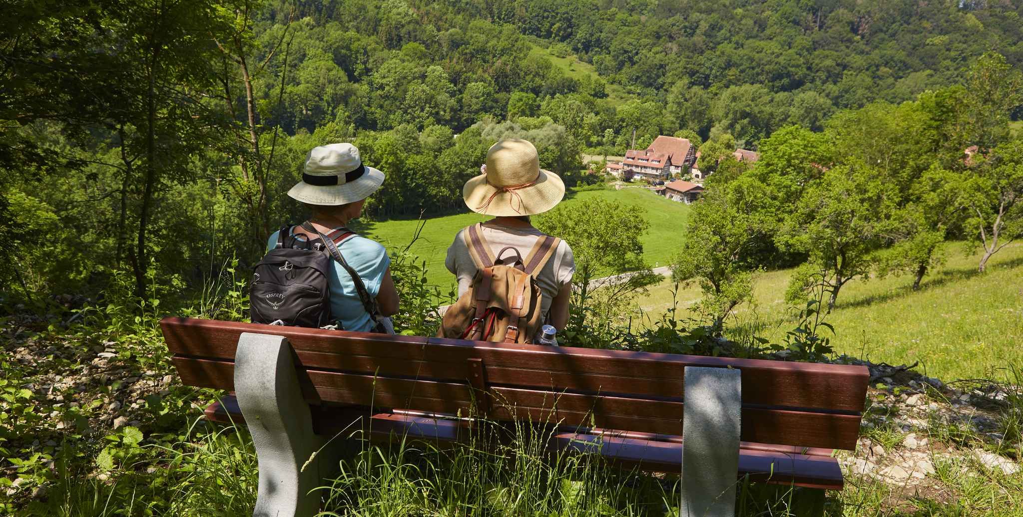
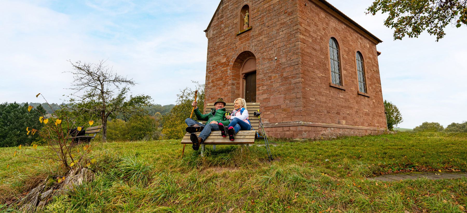
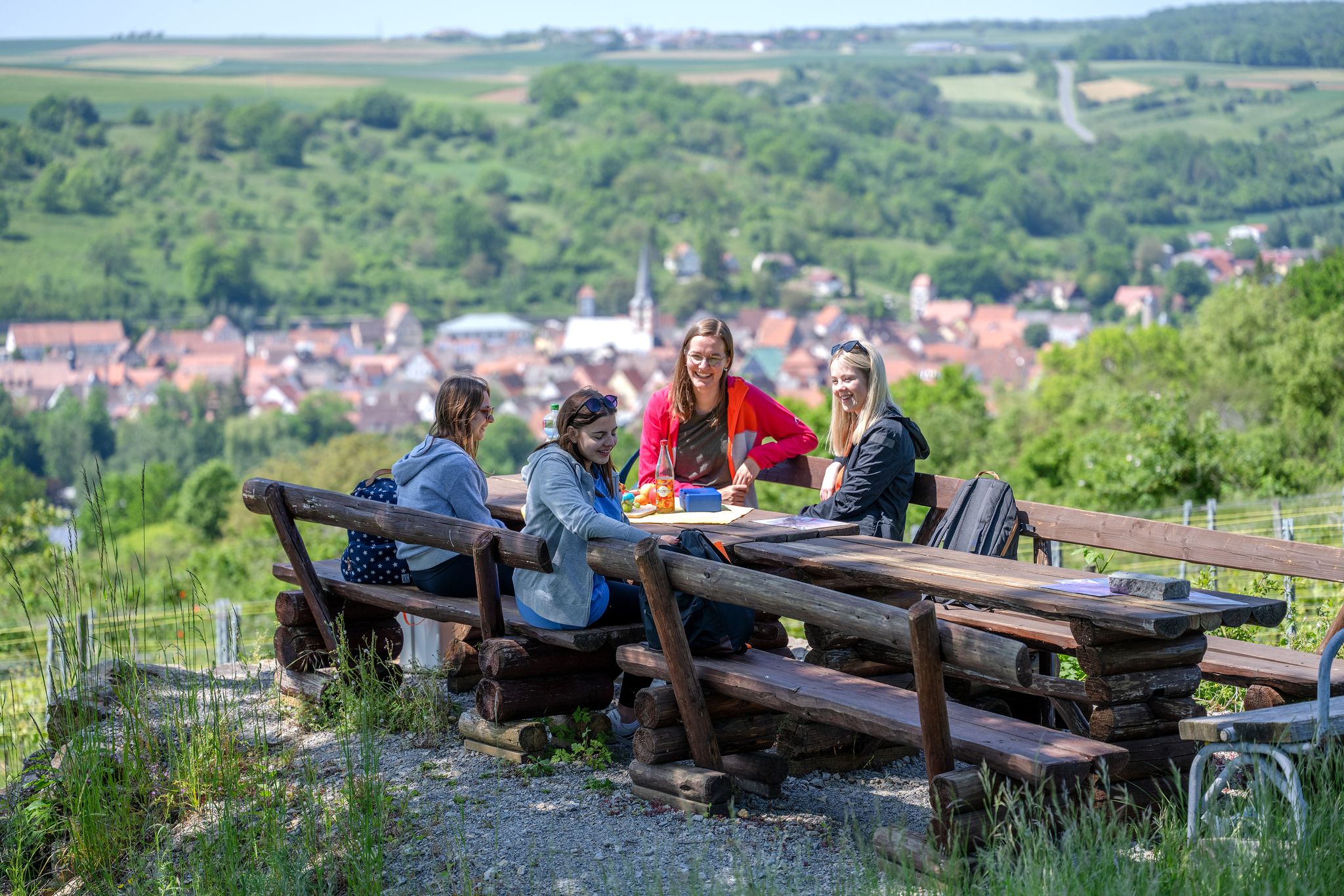
Other adventures around Bieberehren

Tips from the Community

Greglingen is an attractive village.
1
0
That's a wonderful bridge. Not some concrete monstrosity.
0
0
You absolutely have to see this tower! 🤩 #Tower #Sightseeing #Travel
2
0


You can also stay overnight in the digester tower. Bookings can be made through Tauberlodge.
1
1
The castle's architectural style dates back to the Renaissance, but the foundations suggest that the core was built earlier.
0
0
You can stay overnight in the Schlosserturm. Bookings can be made through Tauberlodge.
1
0
Frequently Asked Questions
How many easy hiking trails are available in Bieberehren?
Bieberehren offers a wide selection of easy hiking trails, with over 300 routes specifically categorized as easy. These trails allow you to explore the diverse landscapes of the Tauber Valley at a comfortable pace.
What kind of terrain can I expect on easy hikes around Bieberehren?
The easy hiking trails in Bieberehren feature a varied landscape. You'll encounter mixed forests, open fields, and dry grasslands. The region is characterized by gentle hills, providing scenic views without being overly strenuous. Some paths even highlight a beautiful stone ridge landscape.
What is the best time of year for easy hikes in Bieberehren?
The Tauber Valley, including Bieberehren, is beautiful throughout the year. Spring and autumn offer pleasant temperatures and vibrant colors, while summer provides lush greenery. Even in winter, many paths are accessible for a refreshing walk, though conditions may vary.
Are there any viewpoints on the easy hiking trails in Bieberehren?
Yes, several easy trails offer panoramic views. For instance, the area around the Kunigunden Chapel provides excellent vistas over the Gollach Valley. Elevated points like the 'Käppele' also offer scenic outlooks over Bieberehren and its surroundings.
What historical or natural landmarks can I see on easy hikes around Bieberehren?
You can discover several interesting landmarks. The Kunigunden Chapel on the Altenberg and the nearby Kunigundenstein are notable. Other attractions include the Ottilien Spring in Pfahlenheim and the Nassau Reservoir. For historical interest, consider the Celtic rectangular enclosure of Wermutshausen.
Are there family-friendly easy hikes in Bieberehren?
Many of the easy trails around Bieberehren are suitable for families. Paths are generally well-maintained and accessible, making them ideal for all ages. Shorter loops like the Bieberehren Town Hall loop are particularly good for a less demanding experience with children.
Are the easy hiking trails in Bieberehren dog-friendly?
Generally, the natural trails and open spaces around Bieberehren are welcoming for dogs. However, it's always recommended to keep dogs on a leash, especially near livestock or in nature reserves, and to respect local signage regarding pet regulations.
Are there circular easy walks available in Bieberehren?
Yes, many easy routes in Bieberehren are designed as circular walks. For example, the Kunigunden Chapel on the Altenberg – Ford at the Gollach loop offers a pleasant round trip through gentle hills and valley views.
What do other hikers say about the easy trails in Bieberehren?
The easy trails in Bieberehren are highly rated by the komoot community, with an average score of 4.6 stars from over 500 reviews. Hikers often praise the well-maintained paths, the diverse scenery, and the peaceful atmosphere of the Tauber Valley.
Are there any easy routes that connect to nearby towns?
Yes, some easy routes connect Bieberehren with neighboring communities. For instance, the Sundial at the Tauber Bridge – Kneipp Facility Röttingen loop is an easy option that links to Röttingen, allowing you to explore more of the region.
What are some shorter easy walks around Bieberehren?
For a shorter, gentle experience, consider the Sundial at the Tauber Bridge – Kneipp Facility Röttingen loop, which is about 3.2 km. Another option is the Kunigunden Chapel on the Altenberg – Ford at the Gollach loop, which is around 5.5 km and offers beautiful views.
Where can I find parking for easy hikes in Bieberehren?
Parking is generally available in and around Bieberehren, often near trailheads or in village centers. Specific parking information can usually be found on local tourist information websites or by checking the starting points of individual routes on komoot.
How can I reach the easy hiking trails in Bieberehren by public transport?
Bieberehren is connected by local bus services within the Tauber Valley. While direct access to every trailhead might require some walking, public transport can get you to the village center, from where many easy hiking routes are accessible. It's advisable to check current bus schedules for the most up-to-date information.
Most popular routes around Bieberehren
Most popular attractions around Bieberehren

Get inspired with the komoot mobile app


Explore more
Browse the best Hikes in other regions.
