Easy hikes and walks around Niederkassel
4.4
(31529)
144,594
hikers
126
hikes
Easy hiking trails around Niederkassel offer a serene escape within the Rhein-Sieg district, characterized by its diverse riverine landscapes and extensive floodplains. The region is defined by the Rhine River, which provides a backdrop for many activities, and the Siegaue, where the Sieg River flows into the Rhine. This area includes the Diescholl Oxbow Lake, an old branch of the Sieg River, and the Rheinaue, known for its green floodplains and alluvial forests.
Best easy hiking trails around Niederkassel
- The…
Last updated: October 3, 2026
4.6
(65)
253
hikers
6.42km
01:38
20m
20m
Easy hike. Great for any fitness level. Easily-accessible paths. Suitable for all skill levels.
5.0
(2)
88
hikers
Easy hike. Great for any fitness level. Easily-accessible paths. Suitable for all skill levels.

4.9
(8)
33
hikers
Easy hike. Great for any fitness level. Easily-accessible paths. Suitable for all skill levels.
4.8
(13)
60
hikers
6.93km
01:46
20m
20m
Easy hike. Great for any fitness level. Easily-accessible paths. Suitable for all skill levels.
4.8
(19)
65
hikers
5.44km
01:23
20m
20m
Easy hike. Great for any fitness level. Easily-accessible paths. Suitable for all skill levels.
Get access to more routes and recommendations from other explorers.
Already have an account?
Our route recommendations are based on thousands of hikes, rides, and runs completed by other people on komoot.
Start today with a free account
Your next adventure awaits.
Popular around Niederkassel

Getting into nature by bus, train and bike in the Cologne Bonn Region
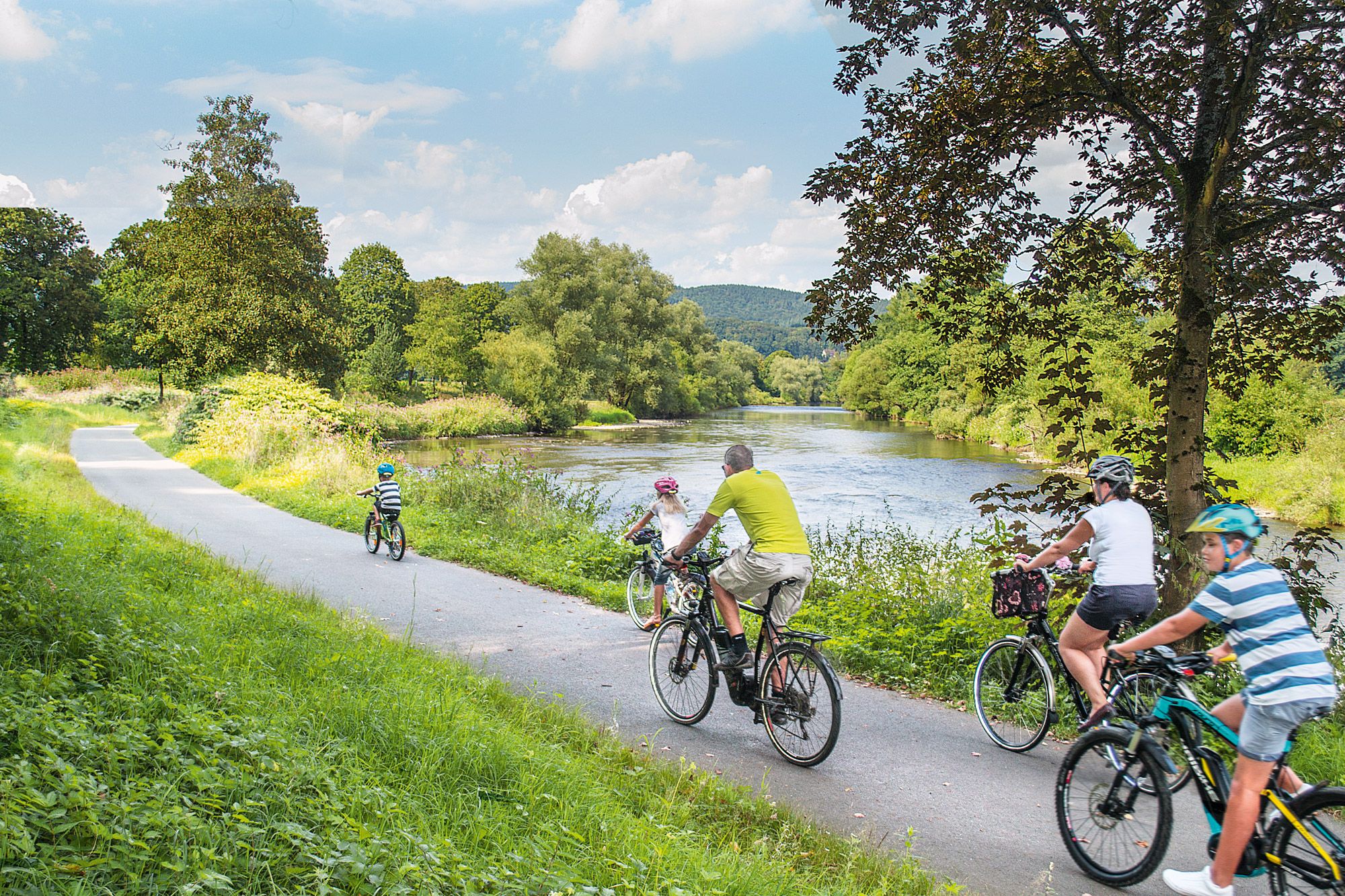
Nature bathing on your bike – beautiful Tours on the Rhine and Sieg

Close to water – cycling in the Rhineland cycling region
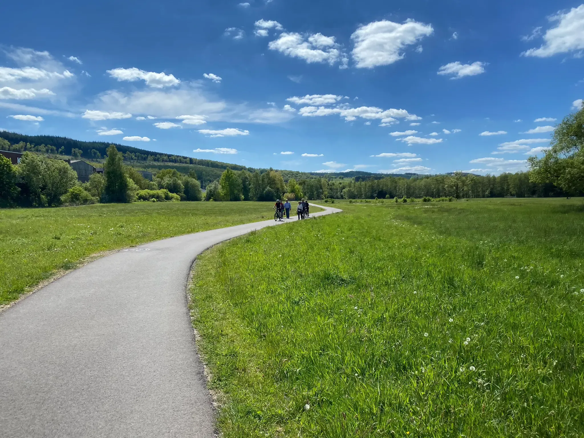
Green floodplains in the Sieg Valley near Bonn – Sieg Cycle Route
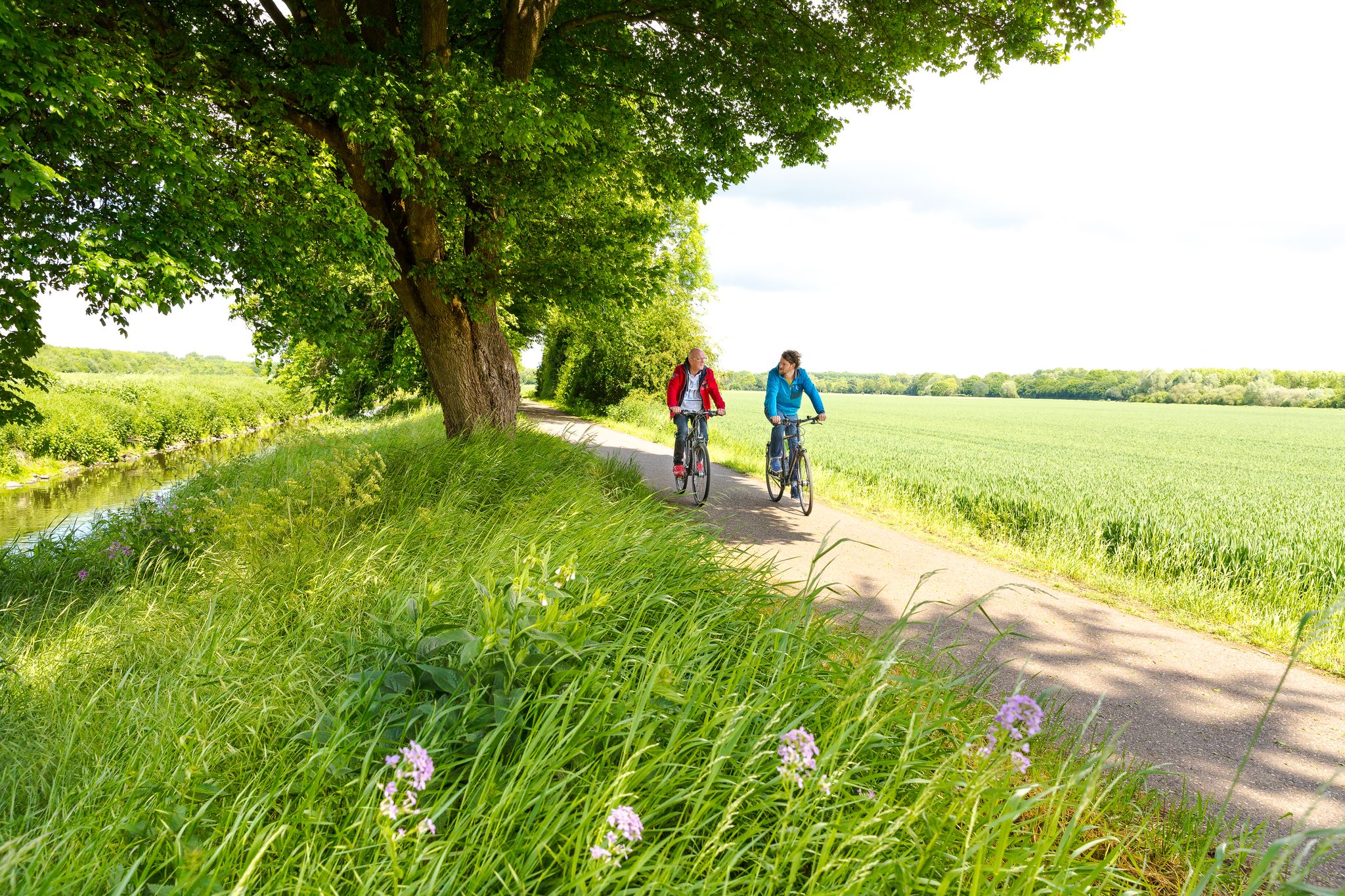
Cycling in the Rhineland – where nature and culture combine
Other adventures around Niederkassel


Tips from the Community

Over the centuries, rivers have repeatedly found new (water) paths for themselves, or they have been diverted or straightened by humans – in the belief in efficiency and progress. Hence the so-called old riverbeds.
0
0


Since the old Rhine arm is no longer cultivated by anglers, nature is gradually reclaiming the area. The original two ponds appear increasingly wild; despite lively bicycle and foot traffic, you can linger and observe the odd animal.
0
0

Location: The refinery is located in the Godorf district of Cologne on the Rhine. Activity: Processing crude oil into products such as gasoline, diesel, heating oil, and raw materials. Significance: A vital part of the regional energy and chemical infrastructure; employs employees and partner companies. Safety and Environment: Refineries are subject to strict environmental and safety regulations; regular reports on emissions, emergency drills, and operational monitoring are conducted.
0
0

Not nice, but rare!!!
0
0

Along the Sieg River's oxbow lake, which once flowed directly below the slope, there are well-maintained paths through shady alluvial forest. The Fishing Museum is located above. Also located here is the nostalgically photogenic Maria Theresia, an eel-fishing boat used for river fishing until the 1950s.
1
0

From the bridge you have a very beautiful view of the mouth of the Sieg into the Rhine.
1
0
When you reach the Mondorf harbor at the end of the Siegtal cycle path, there are many benches around the harbor where you can rest.
4
0
Frequently Asked Questions
How many easy hiking trails are available in Niederkassel?
Niederkassel offers a wide selection of easy hiking trails, with over 90 routes specifically categorized as easy. These trails are perfect for those looking for a relaxed outdoor experience.
What kind of landscapes will I encounter on easy hikes in Niederkassel?
Easy hikes in Niederkassel primarily feature diverse riverine landscapes and extensive floodplains. You'll find scenic paths along the Rhine River, through the natural oasis of the Siegaue floodplains, and alongside the historic Diescholl Oxbow Lake. Many routes also traverse green Rheinaue areas and shady alluvial forests.
Are there family-friendly easy hiking trails in Niederkassel?
Yes, Niederkassel's easy trails are generally very suitable for families. The flat terrain and well-maintained paths along the Rhine and through the floodplains make them ideal for all ages. Consider routes like the Kaplan-Everhard-Richarz-Ufer – Rheinaue Ferry Station loop, which offers accessible riverside views.
Can I bring my dog on easy hikes in Niederkassel?
Most easy hiking trails in Niederkassel are dog-friendly, offering plenty of space for your canine companion to explore. Areas like the Siegaue Nature Reserve and the Rheinaue are popular choices for walks with dogs, but always keep them on a leash, especially in protected areas or near wildlife.
Are there easy circular hiking routes available in Niederkassel?
Yes, many of the easy trails in Niederkassel are designed as circular routes, allowing you to start and end at the same point. An excellent example is the Langeler Weiher – Schneppenhof Estate on the Rhine loop, which offers a pleasant round trip through local landscapes.
What natural attractions can I see on easy hikes in Niederkassel?
On easy hikes, you can explore significant natural features like the Siegaue Nature Reserve, where the Sieg River meets the Rhine, and the Diescholl Oxbow Lake, an old branch of the Sieg River known for its rich biodiversity. You might also encounter the Fountain at the Zündorfer Groov or the expansive Rheinaue Park.
Are there any historical or cultural sights near the easy hiking trails?
While the focus is on nature, some easy trails are close to historical points of interest. You can find several castles in the broader region, such as Augustusburg Palace or Niederpleis Castle, which can be combined with a hike for a cultural experience.
Where can I park when starting an easy hike in Niederkassel?
Parking is generally available at common starting points for hikes, especially near popular areas like Mondorf Marina or along the Rhine promenade in towns like Lülsdorf and Rheidt. Look for designated parking areas near river access points or local amenities.
How can I reach the easy hiking trails in Niederkassel using public transport?
Niederkassel is accessible via public transport, with bus connections linking various districts and nearby cities. You can often find bus stops close to trailheads, particularly in more populated areas along the Rhine. Check local transport schedules for the most convenient access to your chosen starting point.
What do other hikers enjoy most about the easy trails in Niederkassel?
The easy trails in Niederkassel are highly rated by the komoot community, with an average score of 4.6 stars from over 600 reviews. Hikers frequently praise the serene river landscapes, the well-maintained paths, and the peaceful atmosphere of areas like the Siegaue and the Rheinaue, making them perfect for a relaxing walk.
What is the best time of year for easy hikes in Niederkassel?
Niederkassel's easy hikes are enjoyable year-round. Spring brings blooming nature, summer offers pleasant riverside strolls, and autumn provides beautiful foliage. Even in winter, the flat terrain makes for accessible walks, though paths might be damp. Always check local weather conditions before heading out.
Are there places to eat or get refreshments along the easy hiking trails?
Yes, particularly in the more developed areas along the Rhine, such as Mondorf, Lülsdorf, and Rheidt, you'll find cafes and restaurants where you can stop for refreshments or a meal. These are often conveniently located near popular starting points or scenic sections of the trails.
Most popular routes around Niederkassel
Most popular attractions around Niederkassel

Get inspired with the komoot mobile app


Explore more
Browse the best Hikes in other regions.
