Easy hikes and walks around Weißbach bei Lofer
4.6
(39133)
181,004
hikers
729
hikes
Easy hiking trails around Weißbach bei Lofer are set within an alpine landscape, characterized by the dramatic peaks of the Steinernes Meer and the Leogang and Loferer Steinberge Mountains. The region features a mix of harsh rock formations, lush alpine pastures, and dense mixed mountain forests. Notable natural features include the Seisenberg Gorge with its towering rock walls and the presence of "wild water" from the Weißbach stream. This terrain offers varied easy hiking experiences.
Best easy hiking trails around…
Last updated: September 27, 2026
5.0
(6)
17
hikers
2.01km
00:45
210m
Easy hike. Great for any fitness level. Easily-accessible paths. Suitable for all skill levels.
4.7
(38)
124
hikers
5.32km
01:36
170m
170m
Easy hike. Great for any fitness level. Easily-accessible paths. Suitable for all skill levels.

4.8
(54)
330
hikers
Easy hike. Great for any fitness level. Easily-accessible paths. Suitable for all skill levels.
4.3
(3)
22
hikers
6.42km
01:43
70m
70m
Easy hike. Great for any fitness level. Easily-accessible paths. Suitable for all skill levels.
4.0
(5)
26
hikers
Easy hike. Great for any fitness level. Easily-accessible paths. Suitable for all skill levels.
Get access to more routes and recommendations from other explorers.
Already have an account?
Our route recommendations are based on thousands of hikes, rides, and runs completed by other people on komoot.
Start today with a free account
Your next adventure awaits.
Popular around Weißbach bei Lofer

North Alpine Trail 01 – Hike across Austria in 49 days
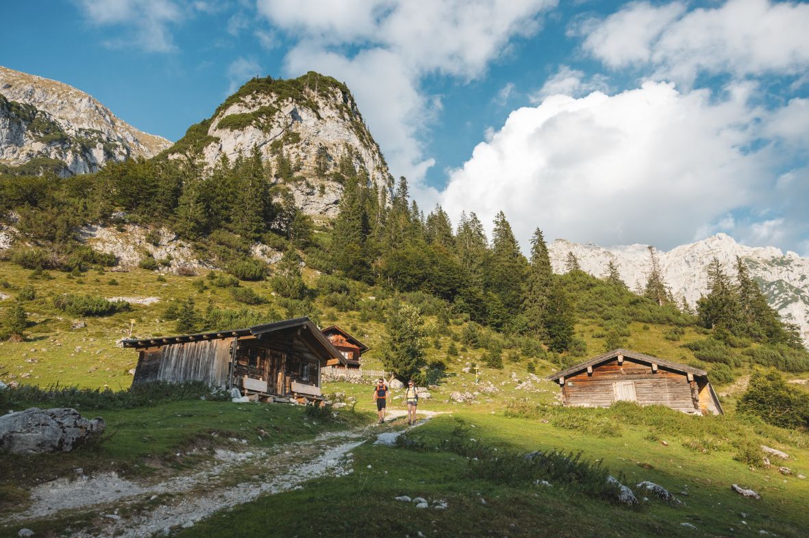
Alpine dreams come true in Austria's Hiking Villages
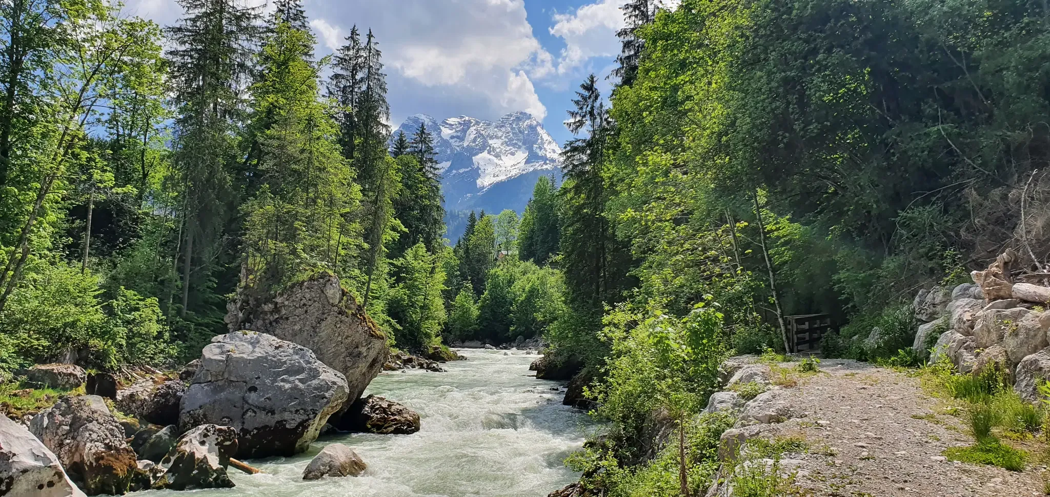
Hiking along the wild waters of the Salzburger Saalachtal
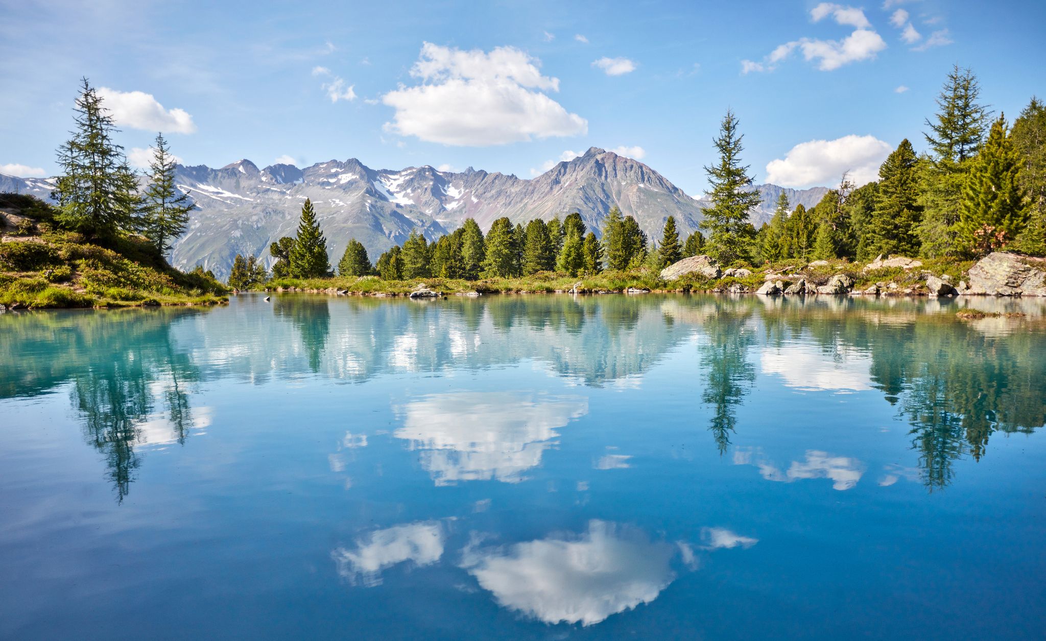
You don't need the sea when you’re Austria – hikes to incredible water spots
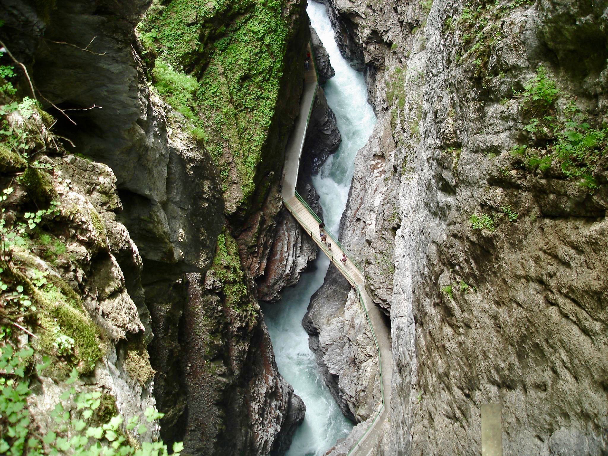
The most beautiful gorges of the Alps
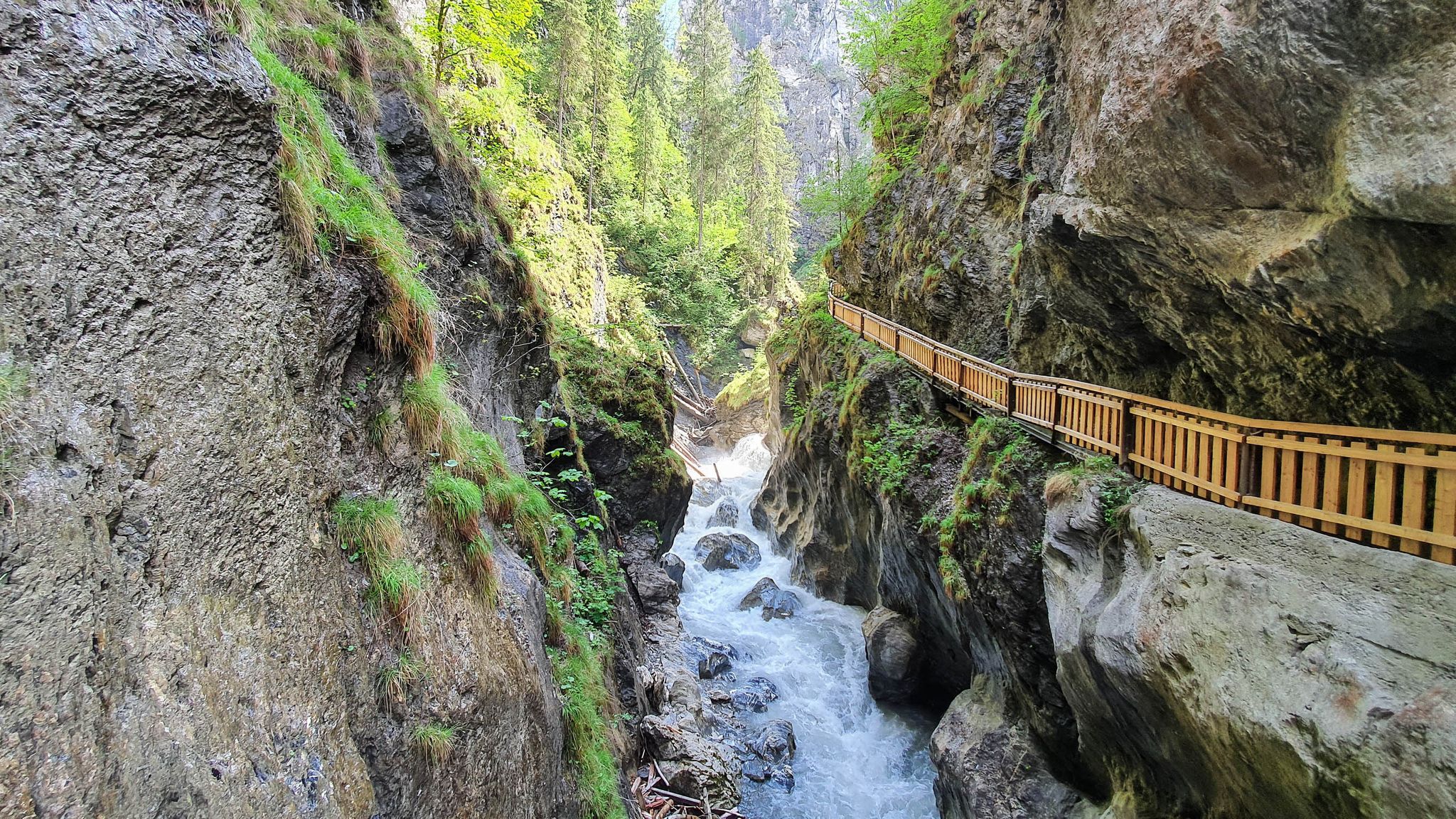
The most beautiful gorges in the Salzburger and Berchtesgadener Land
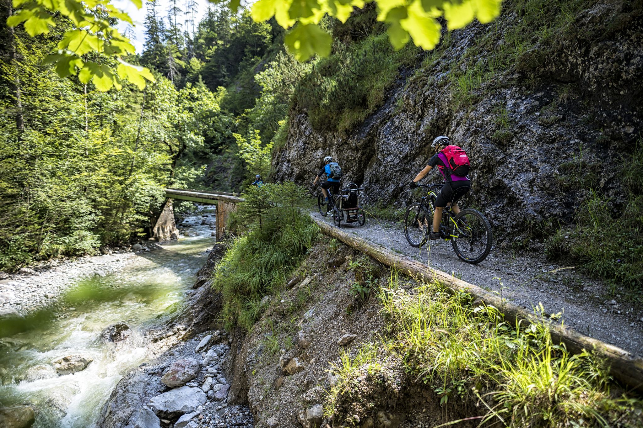
On the (e-)bike to wild water in the Salzburger Saalachtal
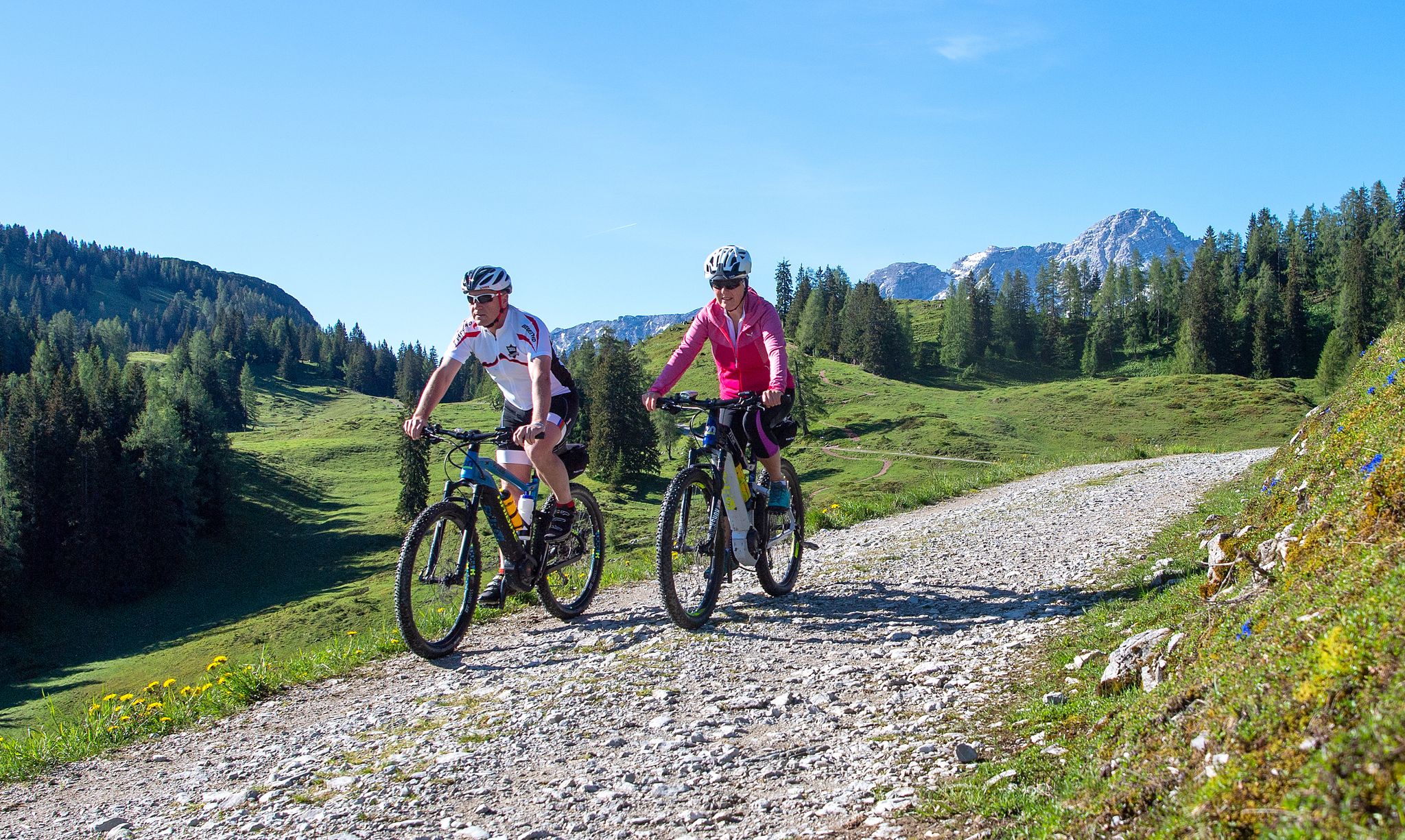
Uphill with a tailwind — e-biking in Salzburg's Saalach Valley
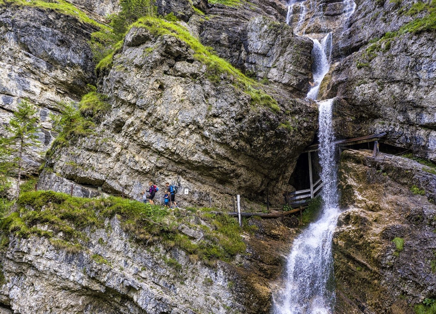
Von Familienwanderungen bis zur ersten Gipfeltour – Salzburger Saalachtal
Other adventures around Weißbach bei Lofer


Tips from the Community

Nice little chapel at Hirschbichl. It is located on the Austrian side. It is worth looking inside.
0
0
Beautifully designed the water inlet into the basin.
0
0

Kitchen is open all day and the last food order is taken at 6:20 PM. The beer garden is quite cozy and the staff is more than accommodating.
0
0

Here you can refill your empty bottles with mountain spring water
1
0

The costs in May 2026: 6€/day
1
0

Box seat for chilling 😎
0
0

Frequently Asked Questions
How many easy hiking trails are available in Weißbach bei Lofer?
Weißbach bei Lofer offers a substantial network of easy hiking trails, with over 260 routes available. These trails cater to various preferences, from leisurely strolls to slightly longer walks through diverse alpine landscapes.
Are there family-friendly easy hikes in Weißbach bei Lofer?
Yes, Weißbach bei Lofer is an excellent destination for families. The Seisenbergklamm exploration is a highly recommended easy route, featuring an interactive adventure trail through the spectacular Seisenberg Gorge, making it engaging for all ages.
Are there any easy circular hiking routes in Weißbach bei Lofer?
Many easy trails in Weißbach bei Lofer are designed as circular routes. For example, the Weissbach River and Waterfall – Logenplatz Schusterzüchl loop from Weißbach bei Lofer offers a scenic loop along the river, featuring a beautiful waterfall and viewpoints.
What natural attractions can I see along the easy hiking trails?
Easy hiking trails in Weißbach bei Lofer often lead to stunning natural attractions. You can explore the dramatic Wimbach Gorge, experience the unique Birnbach Cave, or wander through the Enchanted Forest along the Ramsauer Ache. The region is rich in gorges, waterfalls, and lush forests.
Are dogs allowed on the easy hiking trails in Weißbach bei Lofer?
Generally, dogs are welcome on most hiking trails in Weißbach bei Lofer. However, it's always advisable to keep them on a leash, especially in nature park areas or near grazing livestock on alpine pastures. Be sure to check specific trail regulations if you plan to visit protected areas.
Where can I find parking for easy hikes in Weißbach bei Lofer?
Parking is generally available at trailheads and popular starting points for hikes in Weißbach bei Lofer. For instance, there is designated parking near the entrance to the Seisenberg Gorge, which serves as a starting point for several easy routes. Many villages and attractions offer public parking facilities.
What is the best time of year for easy hikes in Weißbach bei Lofer?
The best time for easy hikes in Weißbach bei Lofer is typically from late spring through early autumn (May to October). During these months, the weather is mild, alpine pastures are green, and trails are clear of snow. The vibrant colors of spring and autumn foliage also add to the scenic beauty.
Are there any caves accessible via easy hikes?
Yes, the region features accessible caves. The Lamprechtshöhle Cave Interior – Lamprechtshöhle (Lamprecht Cave) loop from Weißbach bei Lofer is an easy trail that takes you near the Lamprecht Cave, offering an opportunity to explore this natural wonder.
What do other hikers enjoy most about easy hiking in Weißbach bei Lofer?
The easy hiking trails in Weißbach bei Lofer are highly rated by the komoot community, with an average score of 4.6 stars from over 8,000 reviews. Hikers frequently praise the stunning natural scenery, the well-maintained paths, and the variety of routes that cater to all ability levels, especially the accessible easy options.
Can I reach hiking trailheads using public transport in Weißbach bei Lofer?
Yes, Weißbach bei Lofer offers public transport options that can help you access various hiking areas. The Alm Erlebnis Bus, for example, connects the Weißbach Nature Park with the neighboring Berchtesgaden National Park, providing convenient access to a wider range of hiking possibilities.
Are there places to eat or drink near the easy hiking trails?
Yes, the region is known for its traditional alpine pastures (Almen) like Kallbrunnalm, Kammerlingalm, and Litzlalm, which often feature alpine huts and snack stations. These provide opportunities to enjoy local culinary specialties and refreshments during or after your easy hike.
Are there any waterfalls to see on easy hikes?
Absolutely. The region is characterized by 'wild water,' and you can find beautiful waterfalls on easy routes. The Weissbach River and Waterfall – Lamprecht Cave loop from Weißbach bei Lofer is an easy trail that specifically highlights a waterfall along the Weissbach River.
What kind of terrain can I expect on easy hikes in Weißbach bei Lofer?
Easy hikes in Weißbach bei Lofer feature varied terrain, including lush alpine pastures, dense mixed mountain forests, and paths alongside dramatic rock formations. While generally gentle, some routes, like those through gorges, may include well-built wooden walkways and stairs.
Most popular routes around Weißbach bei Lofer
Most popular attractions around Weißbach bei Lofer

Get inspired with the komoot mobile app


Explore more
Browse the best Hikes in other regions.
