Easy hikes and walks around Stuhlfelden
4.5
(9734)
51,364
hikers
514
hikes
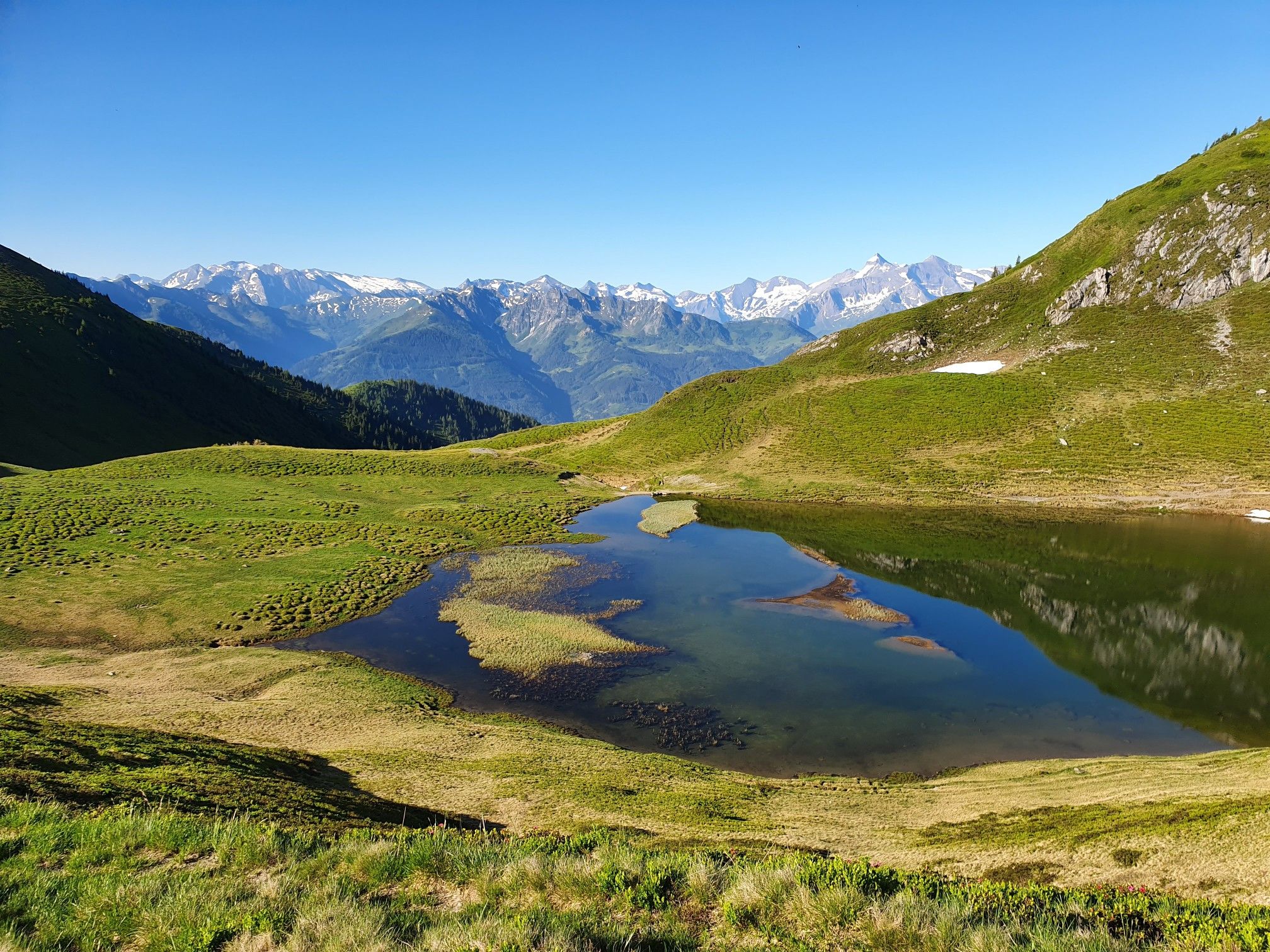
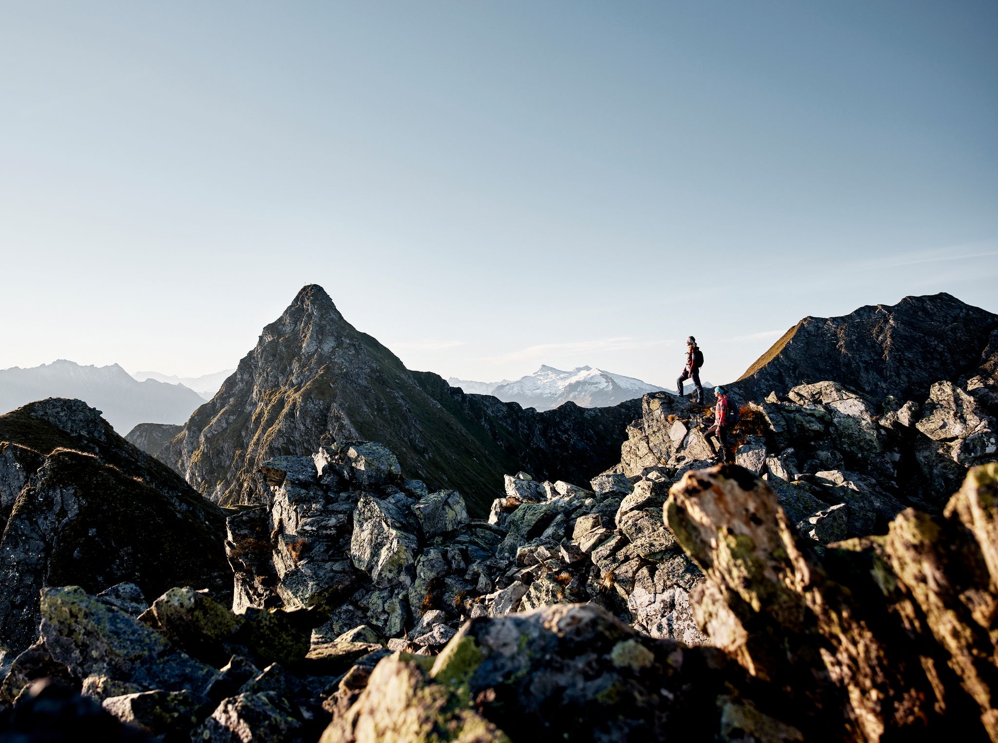
Easy hiking trails around Stuhlfelden offer access to the picturesque Pinzgau Grasberge mountains in Austria's Zell am See district. The region is characterized by diverse landscapes, including alpine meadows, ancient forests, and views towards the Hohe Tauern National Park. Stuhlfelden's location provides a starting point for routes that traverse varied terrain, from gentle riverside paths to trails with moderate elevation changes. The area is known for its natural features and a network of trails suitable for different skill levels.
Best…
Last updated: October 3, 2026
4.0
(3)
15
hikers
5.27km
01:35
170m
170m
Easy hike. Great for any fitness level. Easily-accessible paths. Suitable for all skill levels.
4.7
(7)
33
hikers
Easy hike. Great for any fitness level. Easily-accessible paths. Suitable for all skill levels.

4.6
(5)
18
hikers
Easy hike. Great for any fitness level. Easily-accessible paths. Suitable for all skill levels.
3.0
(1)
18
hikers
Easy hike. Great for any fitness level. Easily-accessible paths. Suitable for all skill levels.
5.0
(1)
17
hikers
Easy hike. Great for any fitness level. Easily-accessible paths. Suitable for all skill levels.
Get access to more routes and recommendations from other explorers.
Already have an account?
Our route recommendations are based on thousands of hikes, rides, and runs completed by other people on komoot.
Start today with a free account
Your next adventure awaits.


Other adventures around Stuhlfelden


Tips from the Community

For a break there is a refreshment station with a large selection of drinks
0
0
A beautiful, exciting course with lovingly presented animals. The miniature figures at the yellow shooting posts are particularly beautiful.
0
0

There are excellent cycle paths along the Salzach river.
0
0

Nice view, but steep climb.
0
0


The cycle path from Kaprun to Mittersill is almost flat. There are 3 somewhat steeper short climbs.
1
0

Frequently Asked Questions
How many easy hiking trails are available around Stuhlfelden?
Stuhlfelden offers a wide selection of easy hiking trails, with over 190 routes suitable for various fitness levels. The region has a total of over 500 hiking tours, providing plenty of options for exploration.
What kind of natural features can I expect on easy hikes in Stuhlfelden?
Easy hikes in Stuhlfelden often lead through picturesque alpine meadows and ancient forests. You'll encounter diverse landscapes, including views of the surrounding Pinzgau Grasberge mountains and glimpses towards the Hohe Tauern National Park. Some routes feature natural highlights like the Uttendorf Waterfall.
Are there any family-friendly easy hikes in Stuhlfelden?
Yes, Stuhlfelden is well-suited for families. The region offers themed trails like "In the Footsteps of the Celts," which provides an engaging way to learn about local history. The "Water. Wonder. World" themed hiking trail is also ideal for family outings, focusing on the element of water.
Can I bring my dog on the easy hiking trails?
Many easy hiking trails in Stuhlfelden are dog-friendly. It's generally recommended to keep dogs on a leash, especially in areas with livestock or wildlife, and to always carry waste bags. Always check specific trail regulations before you go.
What is the best time of year for easy hiking in Stuhlfelden?
The best seasons for easy hiking in Stuhlfelden are spring, summer, and autumn. Spring offers blooming nature, summer provides pleasant temperatures amidst green alpine meadows, and autumn transforms the landscape with colorful foliage. Each season offers a unique experience of the region's beauty.
Are there any circular routes among the easy hikes?
Yes, many easy hikes around Stuhlfelden are circular routes, offering convenient starting and ending points. Examples include the View of Niedernsill – Parish Church of Stuhlfelden loop and the Salzach Riverside Trail loop, which are popular choices for their scenic views and accessibility.
What historical or cultural landmarks can I see on easy trails?
Easy trails in Stuhlfelden can lead you past several historical and cultural landmarks. You might encounter heritage-protected forest chapels, the Saueckkapelle Chapel, or the historically significant Parish Church Maria Assumption in the village center. The View of Niedernsill – Parish Church of Stuhlfelden loop is one such route that passes by the Parish Church.
Where can I find parking for easy hiking trailheads?
Parking is generally available near the starting points of many easy hiking trails in and around Stuhlfelden. Specific parking information can often be found on individual route descriptions. For example, routes starting from Stuhlfelden Ort or Stuhlfelden Siedlung typically have accessible parking options.
Are there any cafes or restaurants near the easy hiking trails?
Stuhlfelden and its surrounding villages offer various cafes, pubs, and restaurants where you can refresh after your hike. While specific establishments vary by trail, the village centers are good places to find dining options. Many routes, like the Meadow Landscape Near Pirten – Parish Church of Stuhlfelden loop, are close to the village amenities.
What do other hikers enjoy most about easy trails in Stuhlfelden?
The easy trails in Stuhlfelden are highly rated by the komoot community, with an average score of 4.4 stars from over 2,300 reviews. Hikers often praise the well-maintained paths, the varied scenery of alpine meadows and forests, and the stunning views of the Pinzgau Grasberge mountains and the Hohe Tauern National Park.
Are there any easy trails that offer views of the Hohe Tauern National Park?
Yes, several easy trails provide views towards the majestic Hohe Tauern National Park. While not directly within the high alpine park, Stuhlfelden's location offers vantage points where you can admire the distant peaks, including the Gaisstein Mountain, which provides magical views stretching across the entire National Park.
What is the typical length and elevation gain for easy hikes in this area?
Easy hikes around Stuhlfelden typically range from 5 to 6 kilometers (3 to 3.7 miles) in length. Elevation gain is generally moderate, often between 10 to 170 meters (30 to 560 feet), making them suitable for beginners or those seeking a relaxed walk. For instance, the Scheibelberg Archery Course loop has about 90 meters of elevation gain over 6 kilometers.
Most popular routes around Stuhlfelden
Most popular attractions around Stuhlfelden

Get inspired with the komoot mobile app


Explore more
Browse the best Hikes in other regions.
