Easy hikes and walks around Sankt Martin am Tennengebirge
4.5
(11281)
55,063
hikers
703
hikes
Easy hiking trails around Sankt Martin am Tennengebirge are set within the Lammertal Valley, at the foot of the Tennengebirge mountain range. This region is characterized by its karstified limestone formations, offering diverse landscapes from forested areas to open alpine views. The terrain includes gentle valleys, the impressive Gerzkopf Nature Reserve with its rich flora, and sections of ancient forests. These features provide a varied backdrop for accessible walking routes.
Best easy hiking trails around Sankt Martin am Tennengebirge
- The…
Last updated: August 24, 2026
4.6
(20)
90
hikers
4.92km
01:37
220m
220m
Easy hike. Great for any fitness level. Easily-accessible paths. Suitable for all skill levels.
4.6
(20)
71
hikers
Easy hike. Great for any fitness level. Easily-accessible paths. Suitable for all skill levels.

Sign up for free
5.0
(4)
24
hikers
3.94km
01:09
110m
110m
Easy hike. Great for any fitness level. Easily-accessible paths. Suitable for all skill levels.
3.6
(5)
22
hikers
4.75km
01:25
130m
130m
Easy hike. Great for any fitness level. Easily-accessible paths. Suitable for all skill levels.
5.0
(1)
12
hikers
4.78km
01:34
230m
230m
Easy hike. Great for any fitness level. Easily-accessible paths. Suitable for all skill levels.
Get access to more routes and recommendations from other explorers.
Sign up for free
Already have an account?
Our route recommendations are based on thousands of hikes, rides, and runs completed by other people on komoot.
Start today with a free account
Your next adventure awaits.
Login or Signup
Popular around Sankt Martin am Tennengebirge
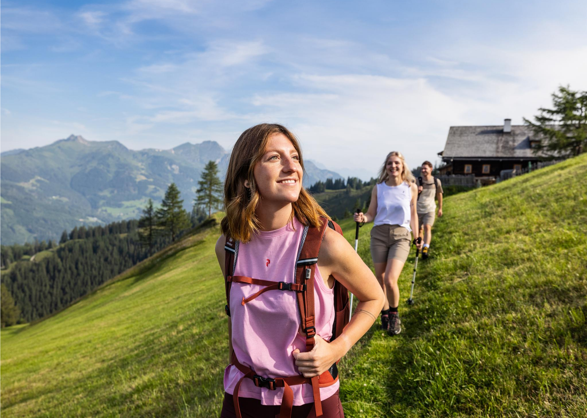
Salzburg’s most beautiful sides – 25 stages on the Salzburger Almenweg

Magnificent mountain biking on Austria's alpine pastures
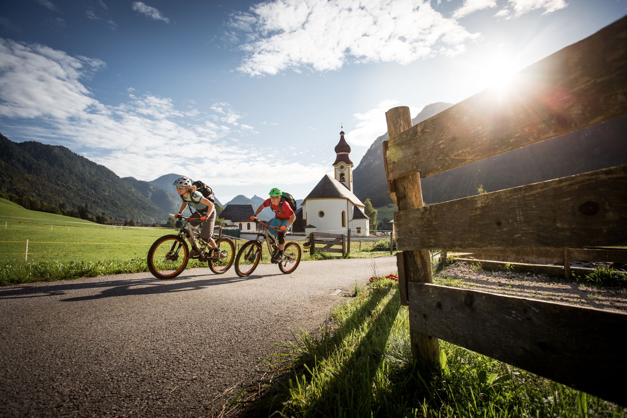
High up on the E-MTB – Watzmann Hochkönig Circuit
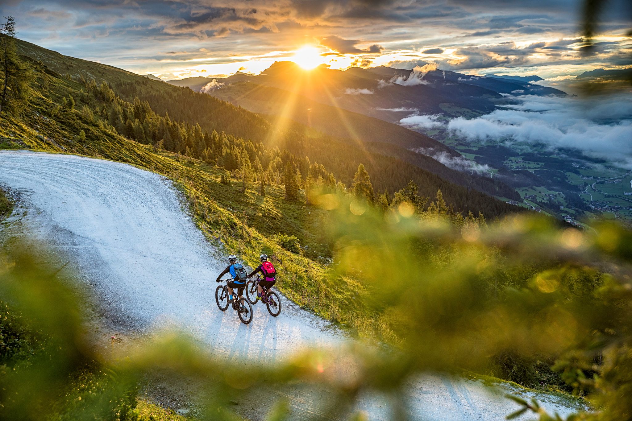
Top tips from bike hotels in southeastern Salzburg
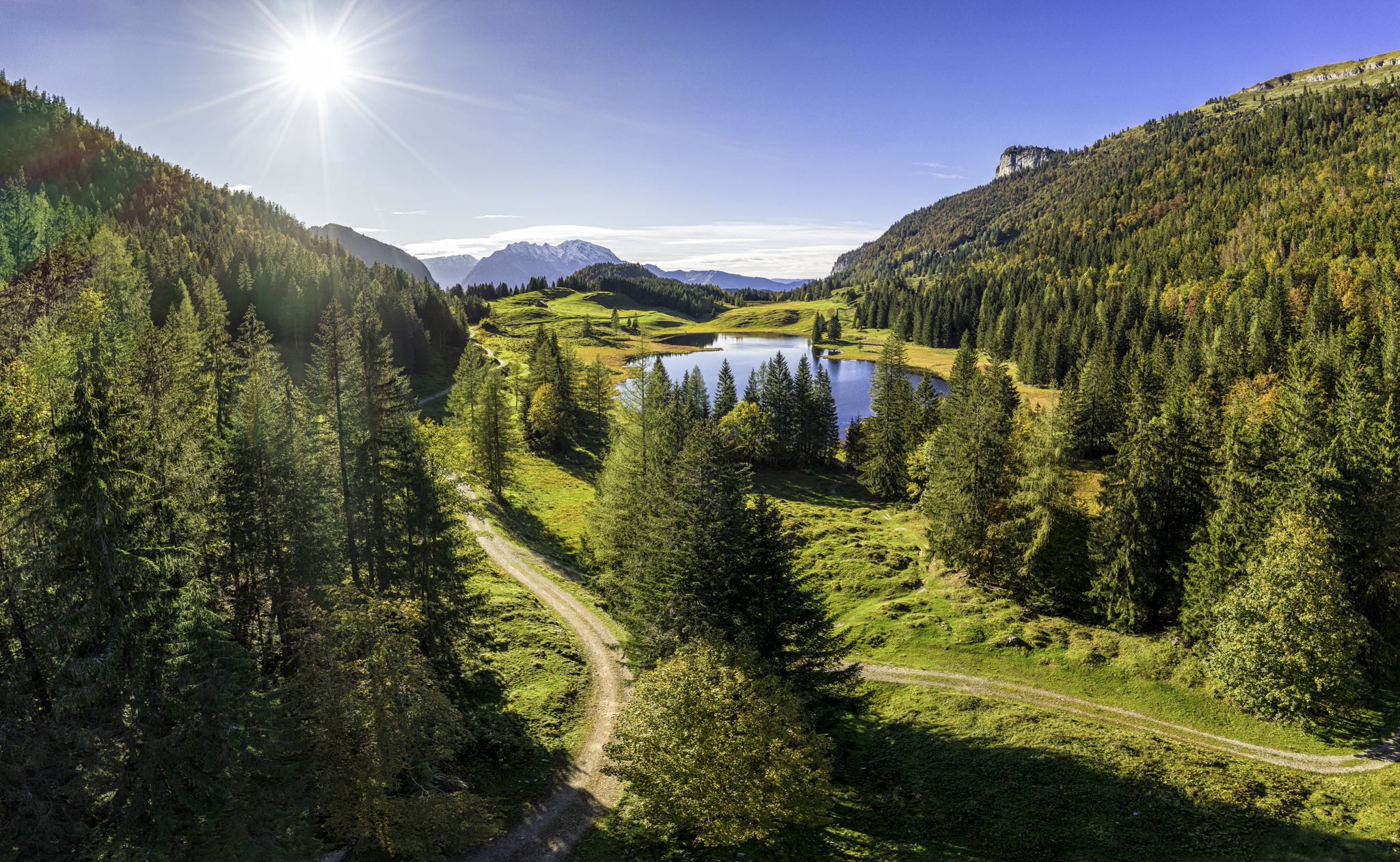
MTB to the most beautiful alpine pastures in Austria’s Tennengau
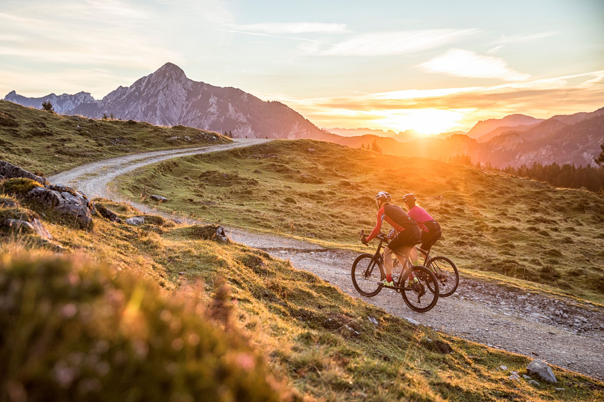
Bike Hotels im Salzburgerland
Other adventures around Sankt Martin am Tennengebirge


Tips from the Community

Very good food, definitely worth a visit 👍🏻
0
0

Unfortunately, the small reservoir was completely empty and had become a construction site. Not recommended.
0
0

The interior invites you to stay right away, it is cozy and tastefully furnished, the food and the Zirben schnapps are great and the hospitality is top-notch. Highly recommended! We will definitely come back.
0
0

View extends over the Tennengebirge to the Hochkönig
0
0

great view in good weather and starting point for paragliders
5
0
A great hut to stop at after the hike... nice, small hut - top service
0
0

One of the most beautiful mountains with a view in the Salzburg region. Accessible via beautiful forest paths and ski slopes. A shorter version via a path is also possible. Paragliders often use it for "hike & fly". There are very good take-off points on the mountain and the large landing area is not far from the lift in Zaglau. Cable car riders only have a few meters to the summit or the restaurant. There is also some play equipment for children in the summit area.
2
1

Frequently Asked Questions
How many easy hiking trails are available in Sankt Martin am Tennengebirge?
Sankt Martin am Tennengebirge offers a wide selection of easy hiking trails, with over 240 routes suitable for various fitness levels. These trails allow you to explore the diverse landscapes of the Lammertal Valley and the foothills of the Tennengebirge mountain range.
What kind of terrain can I expect on easy hikes around Sankt Martin am Tennengebirge?
Easy hikes in this region typically feature gentle paths through the picturesque Lammertal Valley, forested areas, and the lower slopes of the Tennengebirge. You'll encounter karstified limestone formations, rich flora, and often well-maintained trails, making them accessible for a relaxed outdoor experience.
Are there easy circular routes in Sankt Martin am Tennengebirge?
Yes, there are several easy circular routes. For example, the Ikarus Mountain Station – Bischlinghöhe Summit loop from Bischlingshöhe is an easy 3.1-mile (5.0 km) trail offering summit views. Another option is the View of the Tennengebirge – Karalm loop from Sankt Martin am Tennengebirge, which provides scenic vistas of the mountain range.
Can I find easy hikes with scenic views in the area?
Absolutely. Many easy trails offer stunning panoramic views. The Ikarus Mountain Station – Bischlinghöhe Summit loop provides excellent summit views. Hikes towards the Gerzkopf Nature Reserve also offer expansive vistas of the Dachstein, Hochkönig, and Hohe Tauern mountain ranges, even on easier sections.
Are there any family-friendly easy hikes in Sankt Martin am Tennengebirge?
The region is very family-friendly. Many easy trails are suitable for all ages, often passing through forests or along gentle valleys. The St. Martin Lake Park also offers walking paths and play areas for a relaxed family outing. Look for routes with minimal elevation gain and shorter distances.
What is the best time of year for easy hiking in Sankt Martin am Tennengebirge?
Autumn is particularly recommended for hiking in Sankt Martin am Tennengebirge. The air is clear, the landscapes are vibrant with golden colors, and local festivals often take place. Summer also offers pleasant conditions, especially for higher-altitude easy trails, while spring brings blooming flora.
Are there any easy hikes that pass by waterfalls or gorges?
Yes, you can find easy routes that lead to natural water features. The Wengerau Alpine Hut – Small Waterfall loop from Werfenweng is an easy 2.4-mile (3.9 km) trail that includes a small waterfall. Additionally, the nearby Lammer Gorge offers accessible paths with impressive views of the water-carved rock formations.
What are some interesting natural landmarks or attractions I can see on easy hikes?
The region is rich in natural beauty. You can explore the Front Gosau Lake or visit the Lammer Gorge. The Gerzkopf Nature Reserve itself is a significant highlight, known for its unique flora and geological structure, offering beautiful forested paths.
What do other hikers enjoy most about easy hiking in Sankt Martin am Tennengebirge?
The komoot community highly rates the hiking experience in Sankt Martin am Tennengebirge, with an average score of 4.5 stars from over 3200 reviews. Hikers often praise the well-signposted paths, the diverse landscapes ranging from forests to alpine views, and the accessibility of the trails for all skill levels.
Are there opportunities for refreshments or rest stops along easy hiking trails?
Yes, the region is known for its numerous mountain huts and alms. Many trails pass by places like the 400-year-old Spiessalm or the Laufener Hütte, where you can enjoy local specialties and refreshments, providing perfect spots for a break during your hike.
Are there easy hikes accessible by public transport?
While many trails are best accessed by car, Sankt Martin am Tennengebirge has local bus services that connect to various starting points. It's advisable to check local bus schedules for specific routes to see which easy trails are directly accessible via public transport.
Where can I park for easy hikes in Sankt Martin am Tennengebirge?
Parking is generally available at trailheads and in the village of Sankt Martin am Tennengebirge. Many popular starting points for easy hikes, such as those leading towards the Gerzkopf Nature Reserve or the Lammertal Valley, have designated parking areas. Always look for marked parking spaces.
Most popular routes around Sankt Martin am Tennengebirge
Most popular attractions around Sankt Martin am Tennengebirge

Get inspired with the komoot mobile app


Explore more
Browse the best Hikes in other regions.
