Easy hikes and walks around Pill
4.5
(19090)
88,620
hikers
869
hikes
Easy hiking trails around Pill offer access to varied landscapes, including riverbanks and gentle hills. The region is characterized by its proximity to water, providing flat paths alongside the River Avon. While not featuring high peaks, the area includes numerous small hills under 200 meters, contributing to diverse elevation profiles on routes. These easy walking routes provide opportunities for outdoor activity across different terrains.
Best easy hiking trails around Pill
- The most popular easy hiking route is Hiking Car Park…
Last updated: October 8, 2026
4.6
(48)
231
hikers
4.52km
01:21
150m
150m
Easy hike. Great for any fitness level. Easily-accessible paths. Suitable for all skill levels.
4.7
(44)
176
hikers
5.65km
01:43
200m
200m
Easy hike. Great for any fitness level. Easily-accessible paths. Suitable for all skill levels.

4.6
(39)
155
hikers
5.43km
01:40
200m
200m
Easy hike. Great for any fitness level. Easily-accessible paths. Suitable for all skill levels.
4.4
(25)
95
hikers
3.14km
01:04
170m
170m
Easy hike. Great for any fitness level. Easily-accessible paths. Suitable for all skill levels.
4.4
(10)
97
hikers
4.44km
01:23
180m
180m
Easy hike. Great for any fitness level. Easily-accessible paths. Suitable for all skill levels.
Get access to more routes and recommendations from other explorers.
Already have an account?
Our route recommendations are based on thousands of hikes, rides, and runs completed by other people on komoot.
Start today with a free account
Your next adventure awaits.
Popular around Pill
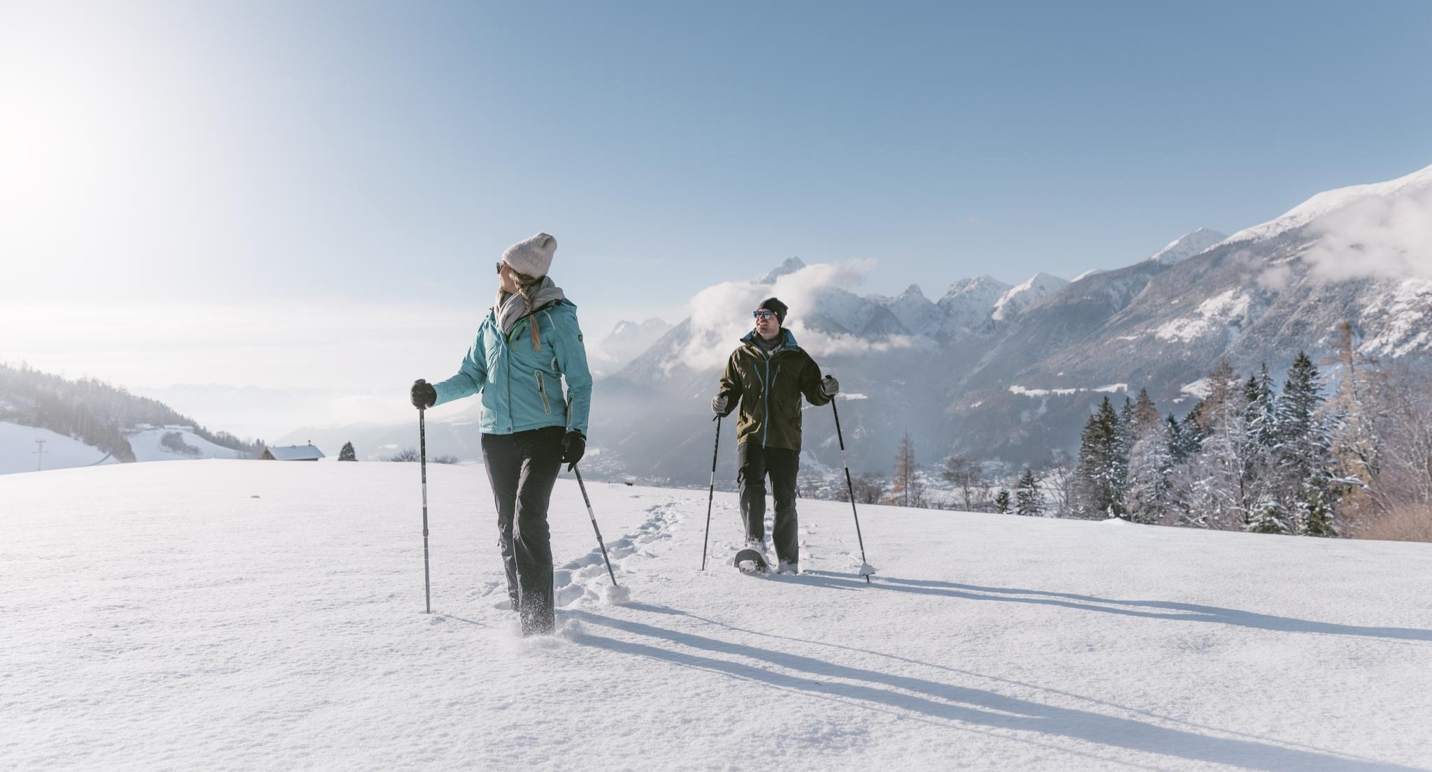
Spuren im Schnee – Schneeschuhabenteuer in der Silberregion Karwendel
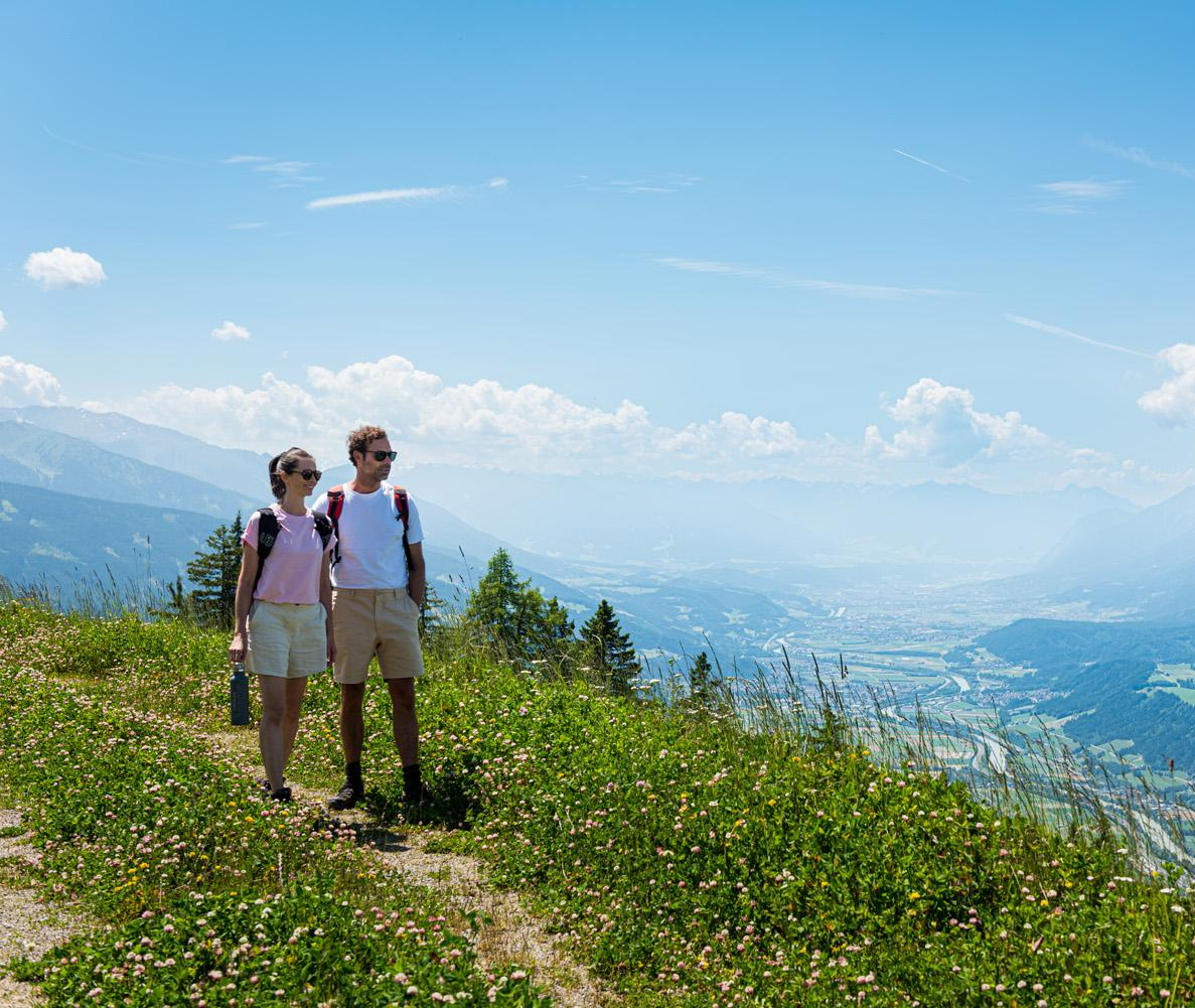
Naturgenuss pur – Wandertouren in der Silberregion Karwendel

Big and small adventures in the mountains of Tyrol
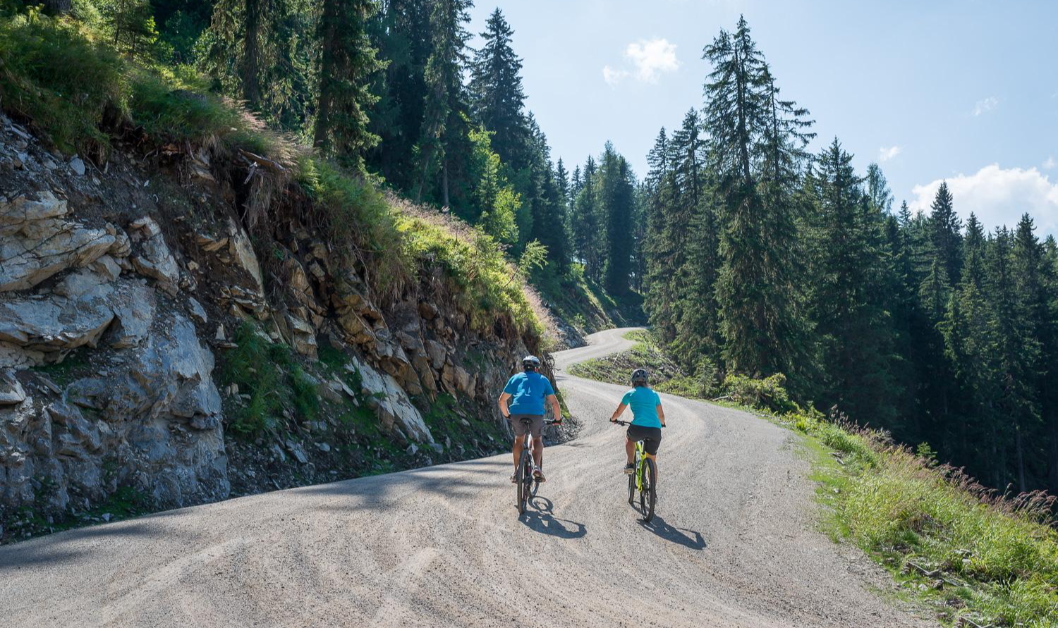
Mountainbiken in der Silberregion Karwendel
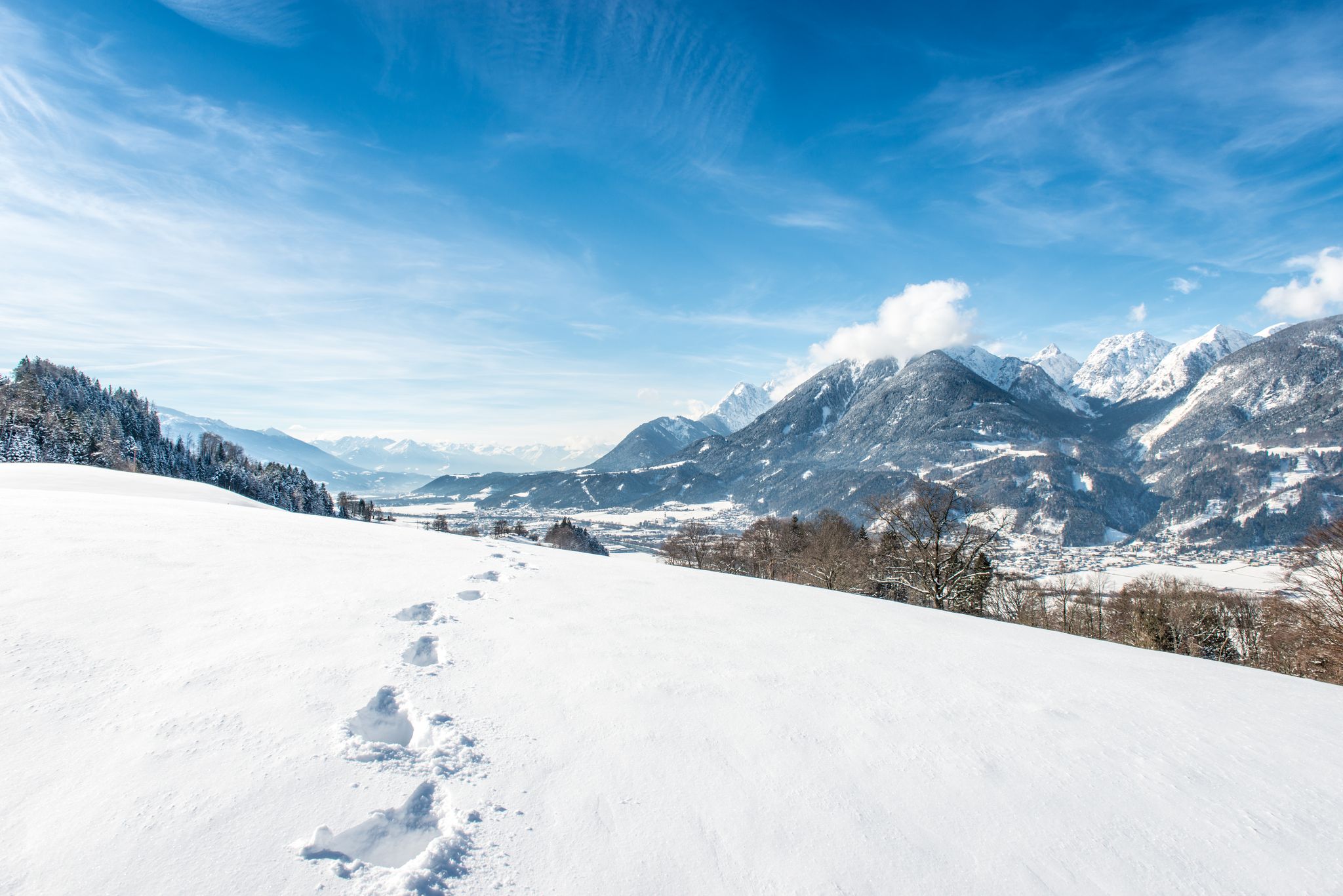
Wintererlebnisse abseits der Piste: Wandern, Rodeln, Langlaufen
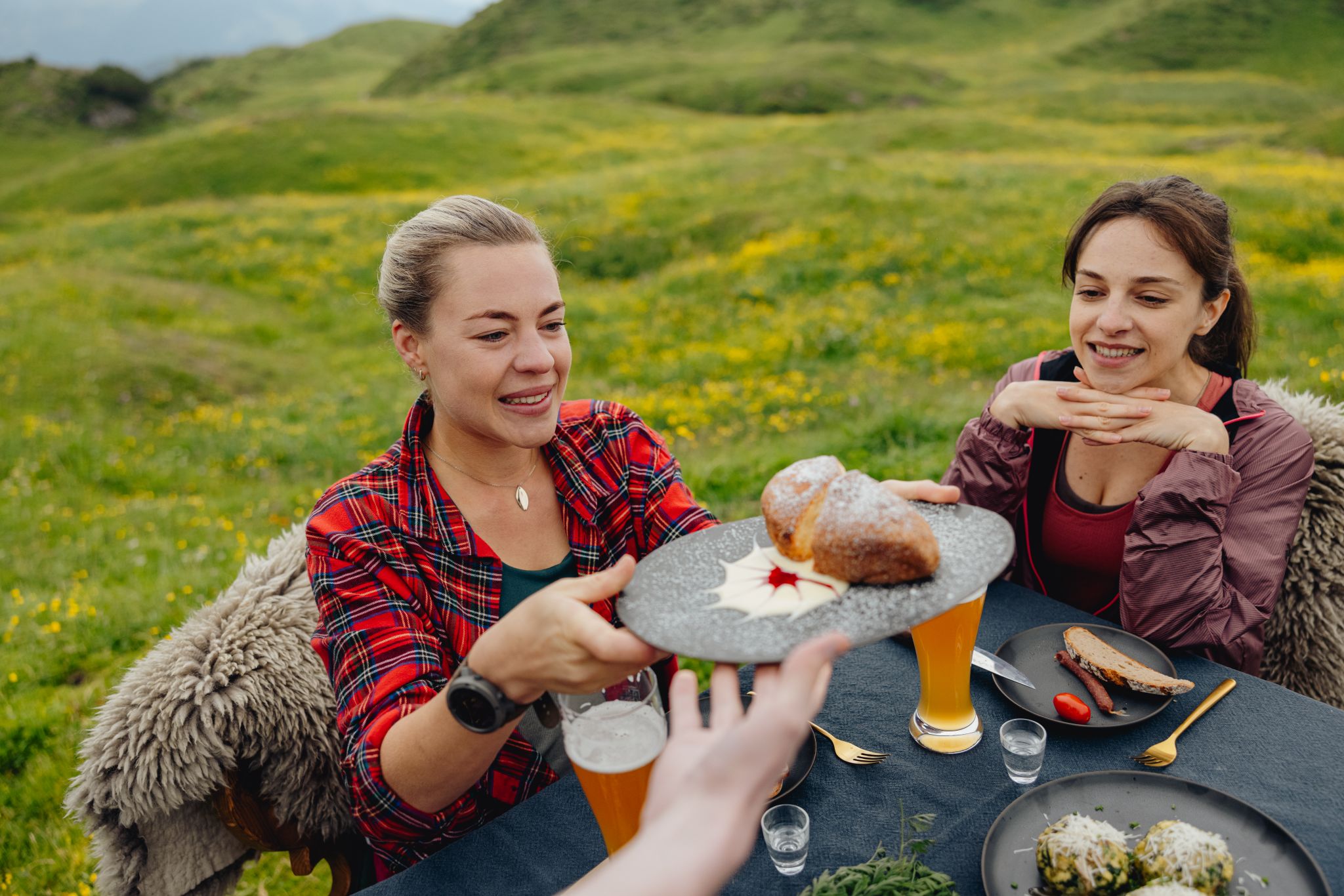
Alles außer gewöhnlich – Tirol für Genießer
Other adventures around Pill


Tips from the Community

Here are old farm and stable for the cows or other animals. However, they are busy making a new farm and installing electricity and sewage.
0
0

The Pfundsalm-Niederleger is located at 1640m.
14
0
For the daring 😃.
15
0
The path leads uphill along the Finsingbach stream.
14
0

The energy stone circle in Pill is definitely worth a short stop.
3
0

The alpine pasture is an absolute highlight! 💚 Known for its hearty specialties and breathtaking views, it invites you to take a leisurely break. If you still have energy, you can explore further towards Hochfügen from here.
0
0

From here you have a good view of the Hochfügen hotel complex.
0
0

A stop at the Aar Wirt and the super friendly service and super good cuisine is a MUST!!
0
0
Frequently Asked Questions
How many easy hiking trails are there around Pill?
Pill offers a wide selection of easy hiking trails, with over 350 routes suitable for various abilities. These paths explore riverbanks, gentle hills, and open countryside.
Are there any easy circular walks in Pill?
Yes, many easy routes around Pill are circular. For example, the Hiking Car Park – Prostata Bründl Water Fountain loop from Grafenast is a popular 2.8-mile loop with a gentle ascent. Another option is the Hochfügen – View of Hochfügen loop from Hochfügen, offering views of the surrounding hills.
What kind of landscapes can I expect on easy hikes in Pill?
Easy hikes in Pill feature varied landscapes, including flat paths alongside the River Avon, gentle hills under 200 meters, and open countryside. You'll find a mix of riverine paths and rolling terrain.
Are there any easy trails with waterfalls near Pill?
Yes, you can find easy trails that lead to waterfalls. Consider the Hammock site Mausawiesl – Piller waterfall loop from Pill, a 1.9-mile route that takes you to the Piller waterfall.
What do other hikers say about the easy trails in Pill?
The easy trails in Pill are highly rated by the komoot community, with an average score of 4.5 stars from over 2,700 reviews. Hikers often praise the diverse terrain, from riverine paths to gentle hills, and the well-maintained routes.
Are there any huts or cabins accessible from easy hiking trails in Pill?
Yes, several huts and cabins are located in the vicinity of Pill. While not directly on every easy trail, you might find places like the Rastkogel Hut or Lamsenjoch hut in the broader region, which can be destinations or points of interest on longer or slightly more challenging routes.
Can I find easy trails that offer scenic viewpoints in Pill?
Many easy trails in Pill provide scenic views, particularly those that ascend gentle hills or traverse open landscapes. For instance, the Huberwinkelalm – Hochfügen loop from Hochfügen offers views of the valley and surrounding countryside.
What should I pack for an easy hike in Pill?
Even on easy hikes, it's advisable to carry water, especially during warmer months, and wear appropriate footwear. Depending on the weather, layers of clothing, sun protection, and a light snack can also be beneficial.
Are there any lakes or swimming opportunities near the easy hiking routes?
While the region is characterized by its proximity to the River Avon, there are also lakes nearby. You could explore areas around the Schlitterer Swimming Lake or Weißlahn Lake, which might have easy paths leading to or around them.
What is the typical duration for easy hikes around Pill?
Easy hikes around Pill typically range from 1 to 2 hours. For example, the Hiking Car Park – Prostata Bründl Water Fountain loop from Grafenast takes about 1 hour 21 minutes, while the Hochfügen – Finsinggrund loop from Hochfügen is around 1 hour 23 minutes.
Are there family-friendly easy walks in Pill?
Yes, many easy walks in Pill are suitable for families. The gentle terrain and varied landscapes, including riverbanks and small hills, make them enjoyable for all ages. Routes with shorter distances and minimal elevation gain are ideal for family outings.
Most popular attractions around Pill

Get inspired with the komoot mobile app


Explore more
Browse the best Hikes in other regions.
