Easy hikes and walks around Sankt Gallenkirch
4.5
(4518)
21,123
hikers
253
hikes
Easy hiking trails around Sankt Gallenkirch are set within Austria's Montafon Valley, characterized by varied natural landscapes including flowering meadows, shady forests, and gentle mountain slopes. The region features limestone cliffs of the Rätikon and the Verwall European nature reserve. An extensive network of paths, including the Illweg along the river Ill, offers routes suitable for different ability levels.
Best easy hiking trails in Sankt Gallenkirch
- The most popular easy hiking route is Maria Hüllet Grotto – Balbier Waterfall loop from St. Gallenkirch, a 3.9 miles (6.3 km) trail that takes about 1 hour 50 minutes to complete. This route features a notable waterfall and a grotto.
- Another top favourite among local hikers is Illweg Loop – Cabinski Tiny Houses loop from St. Gallenkirch, an easy 3.3 miles (5.3 km) path. This trail follows the Ill river and offers views of the surrounding valley.
- Local hikers also love the Gortipohl Parish Church – Balbier Waterfall loop from Gortipohl, a 3.0 miles (4.9 km) trail leading through local villages and past the Balbier Waterfall, often completed in about 1 hour 25 minutes.
- Hiking around Sankt Gallenkirch is defined by gentle mountain slopes, river paths, and forested sections, offering diverse easy hiking trails. The network provides options for various ability levels, from short walks to longer excursions.
- The routes in Sankt Gallenkirch are highly rated by the komoot community with an average score of 4.5 stars from over 4,300 reviews. More than 20,000 hikers have used komoot to explore Sankt Gallenkirch's varied terrain.
Last updated: July 1, 2026
5.0
(2)
7
hikers
5.47km
01:44
230m
230m
Easy hike. Great for any fitness level. Easily-accessible paths. Suitable for all skill levels.
4.5
(32)
118
hikers
4.85km
01:26
140m
140m
Easy hike. Great for any fitness level. Easily-accessible paths. Suitable for all skill levels.

Sign up for free
4.4
(30)
134
hikers
4.39km
01:11
50m
50m
Easy hike. Great for any fitness level. Easily-accessible paths. Suitable for all skill levels.
4.6
(9)
70
hikers
6.39km
01:53
180m
180m
Easy hike. Great for any fitness level. Easily-accessible paths. Suitable for all skill levels.
4.9
(10)
41
hikers
3.98km
01:11
110m
110m
Easy hike. Great for any fitness level. Easily-accessible paths. Suitable for all skill levels.
Get access to more routes and recommendations from other explorers.
Sign up for free
Already have an account?
Our route recommendations are based on thousands of hikes, rides, and runs completed by other people on komoot.
Start today with a free account
Your next adventure awaits.
Login or Signup
Popular around Sankt Gallenkirch

Min Weag long-distance hiking trail – From Lake Constance to the Alps
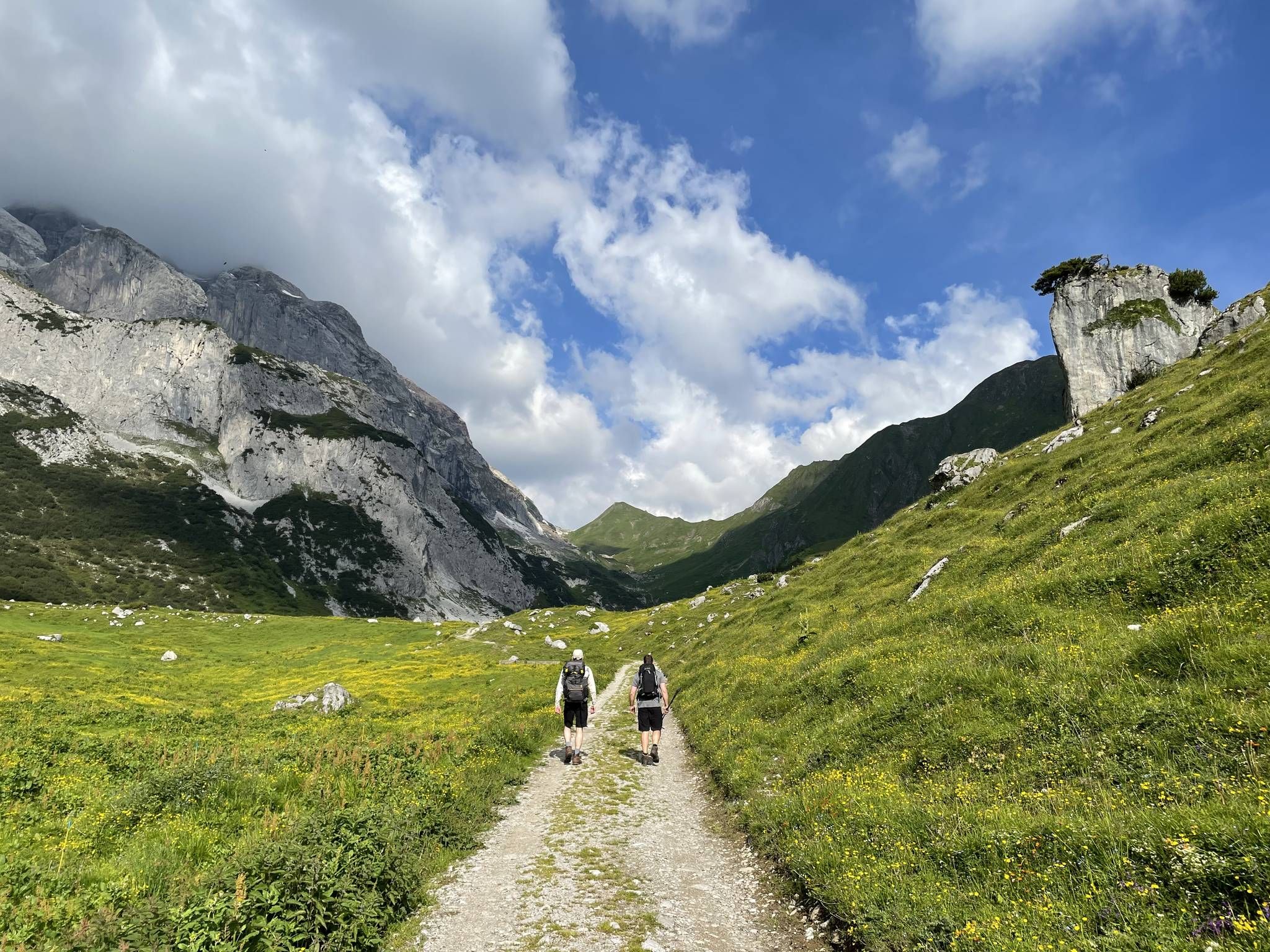
Montafon Hut-to-Hut Hiking Trail – 13 days in Western Austria
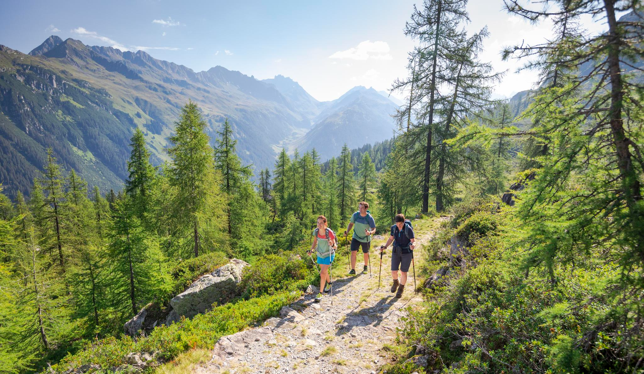
Between Maisäß and Alpe – hiking in Montafon
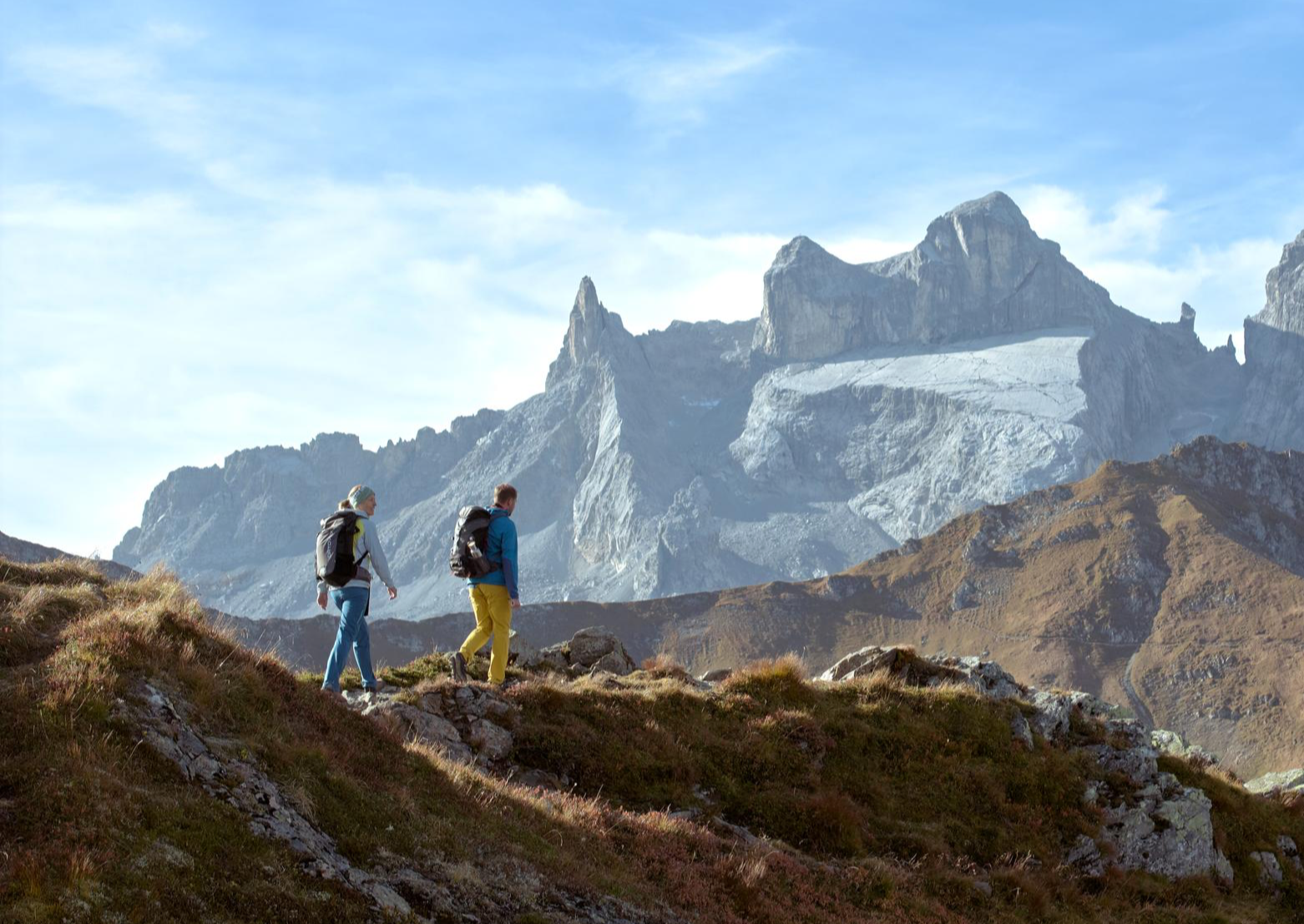
Alpenmosaik Montafon – the most beautiful autumn hikes
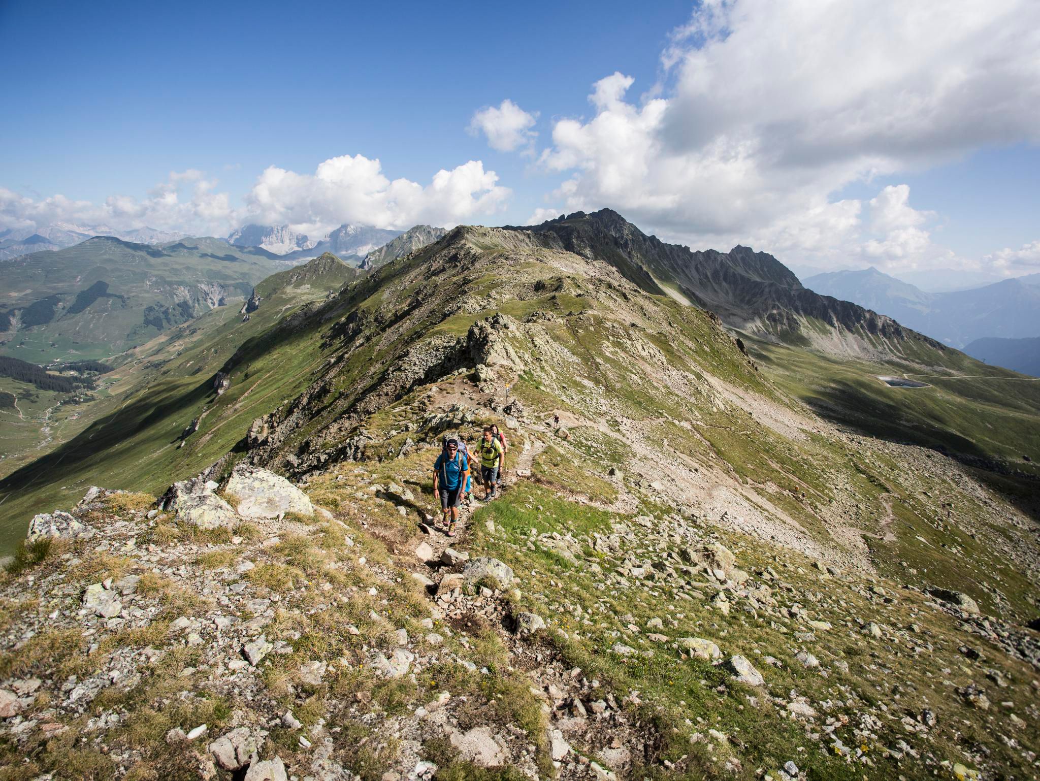
Mountain panoramas and quality trails in Austria's hiking villages
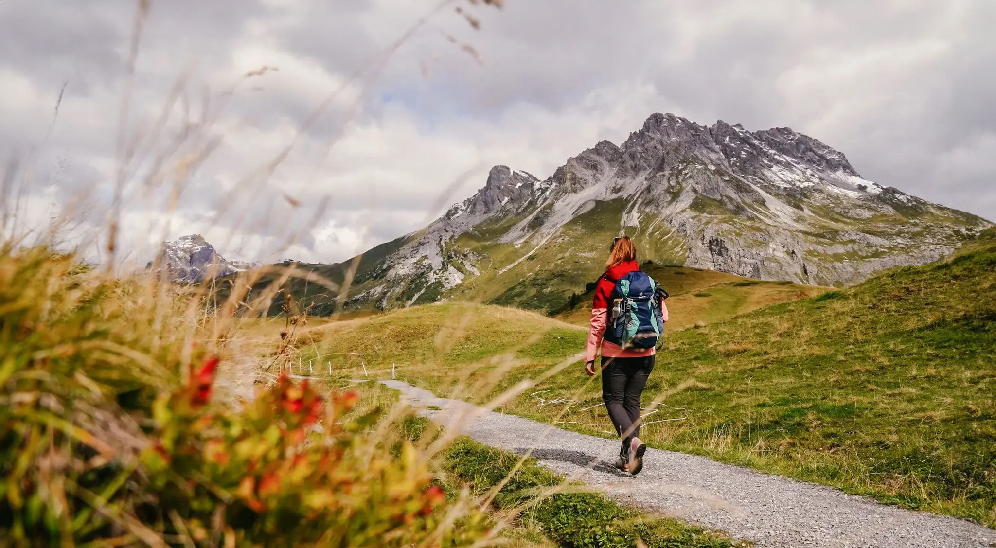
Vorarlberg in autumn – the 6 most beautiful hikes in the golden season
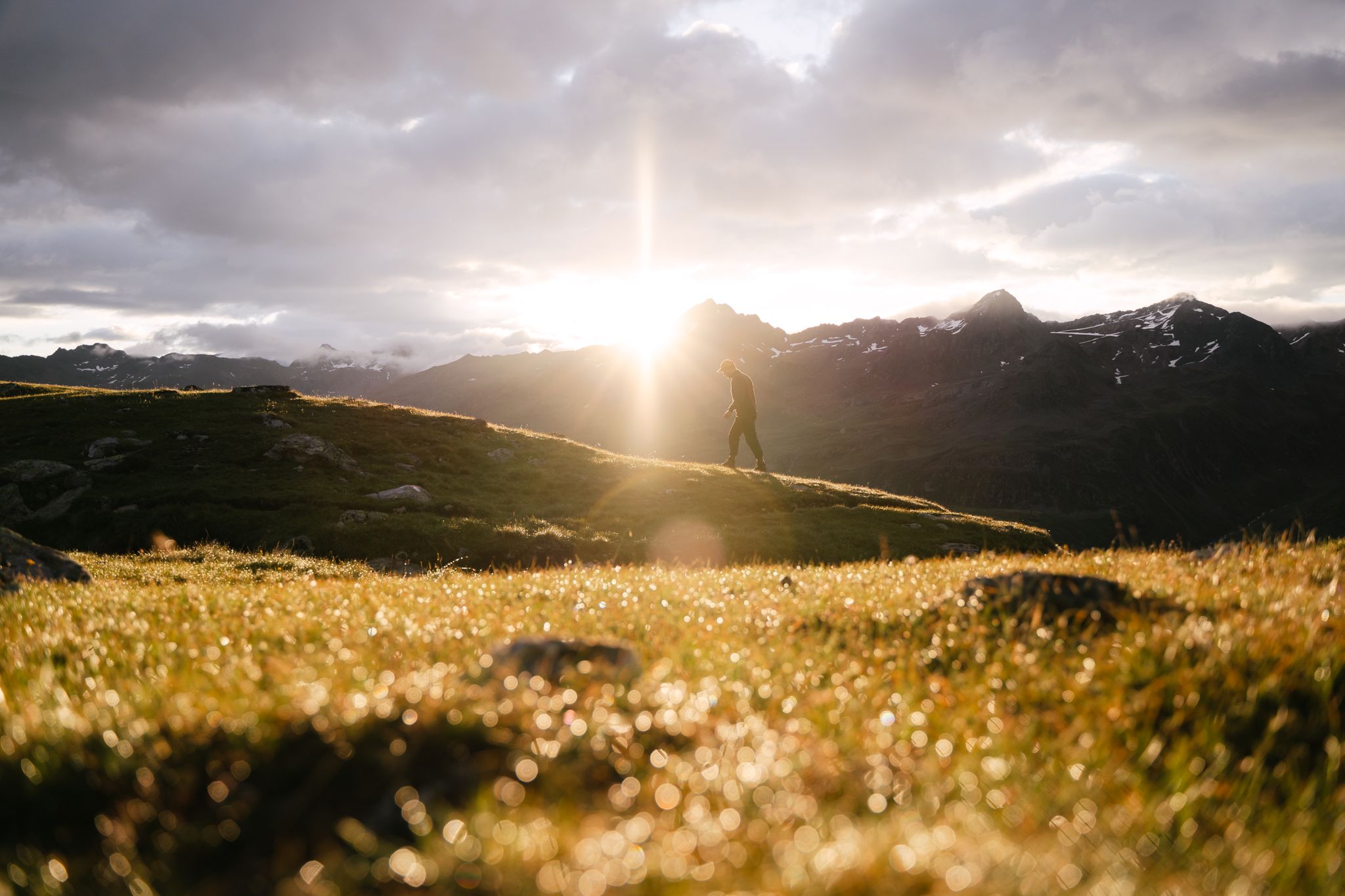
Hike and experience Austrian hospitality
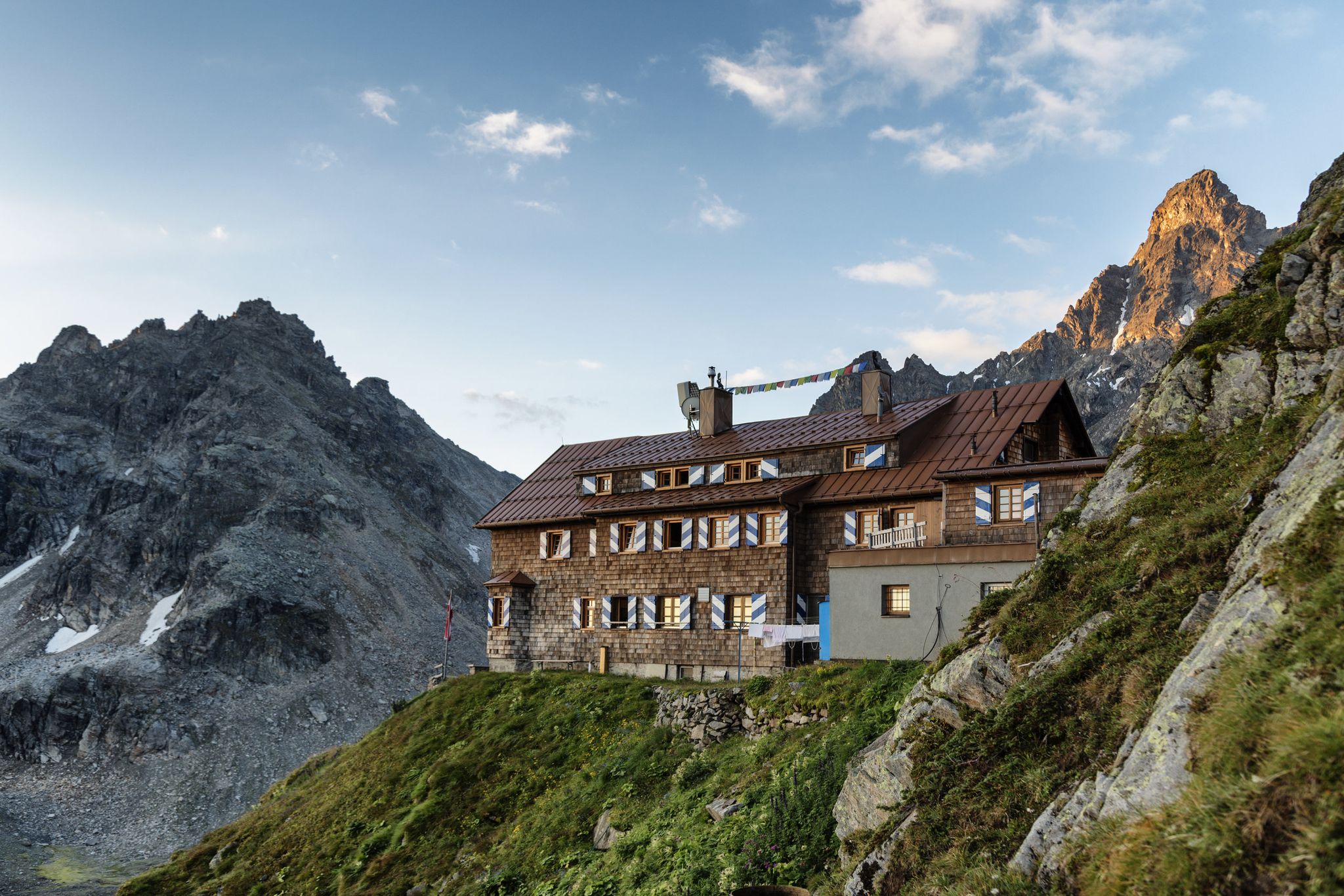
Alpenmosaik Montafon - The Montafoner Hüttenrunde
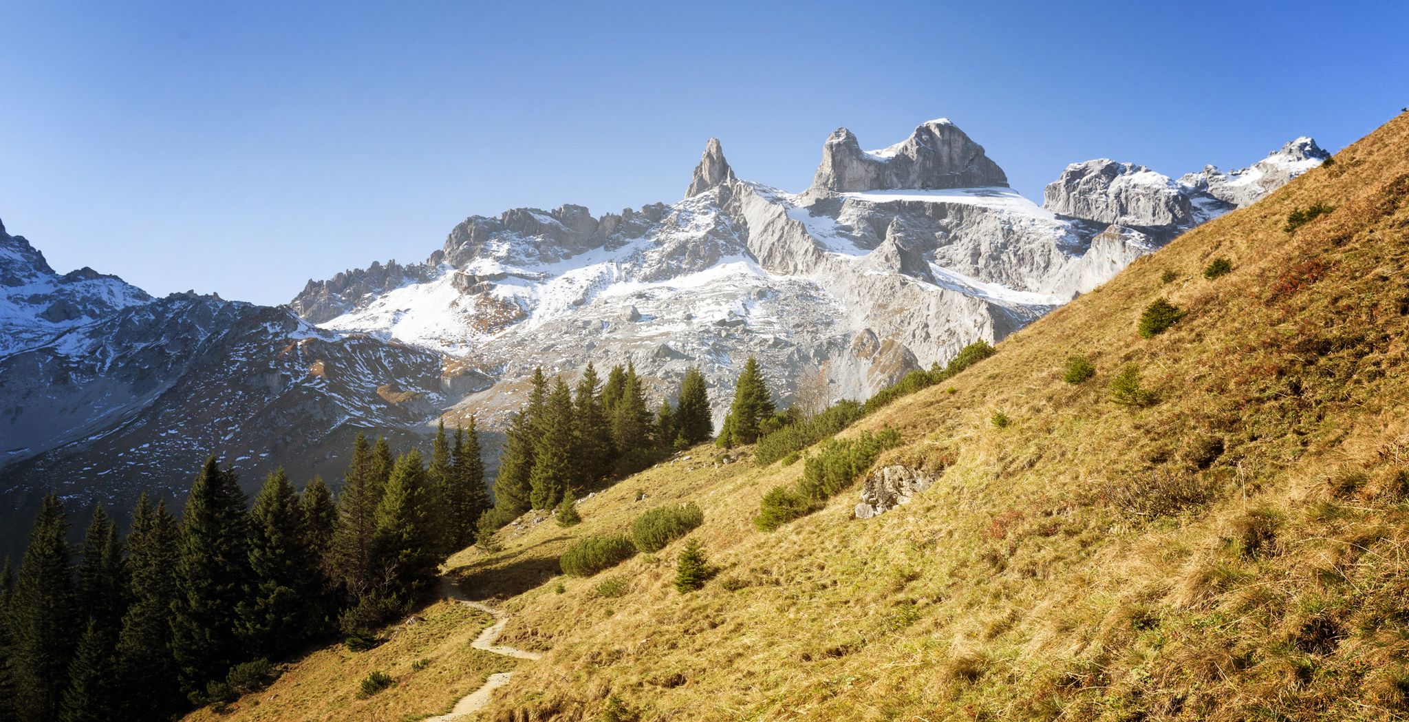
Alpine Mosaic Montafon — Austria’s Rätikon adventure area
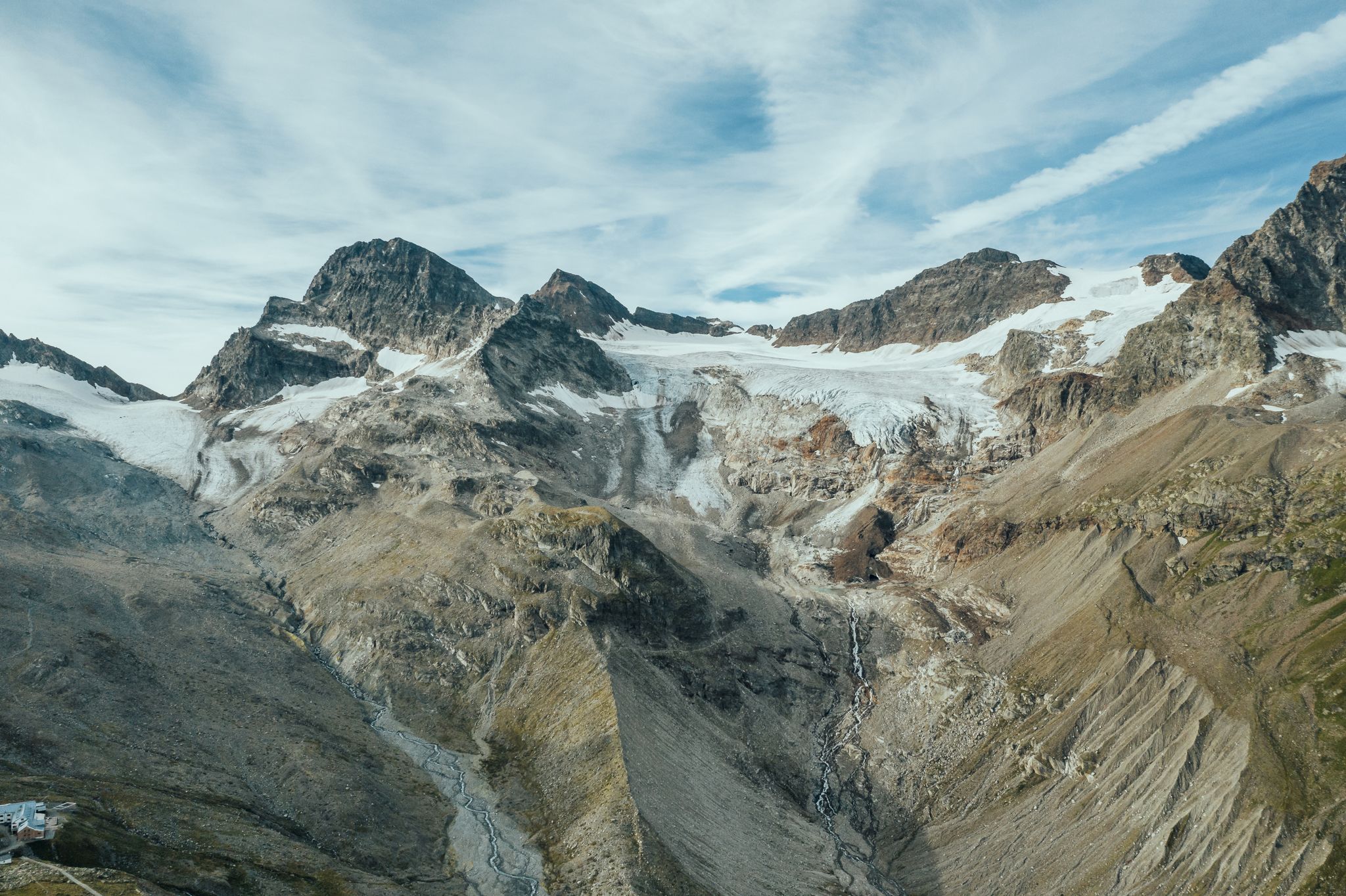
Alpine Mosaic Montafon — Austria’s Silvretta adventure area
Other adventures around Sankt Gallenkirch


Tips from the Community

A beautiful stone bridge takes you over the stream here at the Hüttnertobel.
0
0

Connection between the Silvretta Nova and Hochjoch ski resorts.
0
0

From here you go directly to the Silvretta Nova ski area
0
0

Currently closed due to landslide. Unfortunately. Bypass via parallel, ascending ski slope
1
0
Very beautiful, albeit short, trail hike along the gorge down to the Ill.
0
0
Strenuous path along the crossroads up to the Balbierfall, which turns right just before the waterfall and above the Mariengrotte
0
0
Trail on the Ill towards Gortipohl currently closed due to landslide
0
0

The stone towers of the Balbier waterfall
0
0
Frequently Asked Questions
How many easy hiking trails are there in Sankt Gallenkirch?
Sankt Gallenkirch offers a selection of over 70 easy hiking trails. These routes traverse varied landscapes, including flowering meadows, shady forests, and gentle mountain slopes, providing options for different preferences.
What is the best time of year for easy hikes in Sankt Gallenkirch?
The best seasons for easy hiking in Sankt Gallenkirch are spring, summer, and autumn. During these months, temperatures are pleasant, and the natural scenery, from lush alpine pastures to vibrant forests, is at its most beautiful.
Are there any easy hikes that feature waterfalls in Sankt Gallenkirch?
Yes, several easy hikes in Sankt Gallenkirch lead to impressive waterfalls. For example, the Maria Hüllet Grotto – Balbier Waterfall loop from St. Gallenkirch and the Gortipohl Parish Church – Balbier Waterfall loop from Gortipohl both pass by the notable Balbier Waterfall, which is particularly striking during snowmelt or heavy rain.
What do other hikers enjoy most about the easy trails in Sankt Gallenkirch?
The easy trails in Sankt Gallenkirch are highly rated by the komoot community, with an average score of 4.5 stars from over 4,300 reviews. Hikers often praise the well-marked paths, the diverse natural beauty, and the accessibility of routes that cater to various ability levels.
Are there any easy circular hiking routes in Sankt Gallenkirch?
Yes, Sankt Gallenkirch offers several easy circular routes. A popular option is the Illweg Loop – Cabinski Tiny Houses loop from St. Gallenkirch, which follows the Ill river and provides scenic views of the valley. Another is the Fire pit by the river – Illweg Loop loop from St. Gallenkirch, offering a pleasant riverside stroll.
What kind of terrain can I expect on easy hikes around Sankt Gallenkirch?
Easy hikes in Sankt Gallenkirch typically feature gentle mountain slopes, well-maintained river paths, and forested sections. The terrain is generally not steep, with moderate elevation changes, making it suitable for beginners and those seeking a relaxed outdoor experience.
Are there any specific landmarks or viewpoints on the easy hiking trails?
Many easy trails offer scenic viewpoints and pass by interesting landmarks. The region is known for its natural features like the Balbier Waterfall. You can also find highlights such as the Wiegensee, recognized as Austria's most beautiful place, or the impressive Silvretta Reservoir Dam, which can be reached via various routes in the wider area.
Are the easy hiking trails in Sankt Gallenkirch suitable for families?
Absolutely. Sankt Gallenkirch is an excellent destination for family-friendly hiking. The extensive network of easy paths, including leisurely strolls along the Ill river, is designed to be accessible and enjoyable for all ages, allowing families to explore the natural beauty together.
Can I bring my dog on the easy hiking trails in Sankt Gallenkirch?
Many hiking trails in Sankt Gallenkirch are dog-friendly, allowing you to enjoy the natural surroundings with your canine companion. It's always recommended to keep dogs on a leash, especially in nature reserves or areas with livestock, and to carry waste bags.
Are there options for shorter easy hikes in Sankt Gallenkirch?
Yes, there are several options for shorter easy hikes. For instance, the Gortipohl Parish Church – Balbier Waterfall loop from St. Gallenkirch is a shorter route, approximately 3.9 miles (3.9 km) long, which can be completed in about 1 hour 10 minutes, offering a quick yet rewarding experience.
Where can I find parking or public transport access for easy hikes?
Sankt Gallenkirch is well-equipped with parking facilities near trailheads, particularly in the village center and at popular starting points. The Montafon Valley also has a good public transport network, including buses, which can take you to various starting points for hikes, making it easy to access trails without a car.
Most popular routes around Sankt Gallenkirch
Most popular attractions around Sankt Gallenkirch

Get inspired with the komoot mobile app


Explore more
Browse the best Hikes in other regions.
