Easy hikes and walks around Hinterhornbach
4.6
(26706)
118,810
hikers
424
hikes
Easy hiking trails around Hinterhornbach are set within the idyllic Hornbach Valley, a side valley of the Tyrolean Lechtal in Austria. The region is characterized by dramatic alpine scenery, including the Hornbach chain and the Allgäu Alps. The Hornbach stream carves a natural riverbed through the valley, and hikers can expect extensive flower meadows and magnificent panoramic views.
Best easy hiking trails around Hinterhornbach
- The most popular easy hiking route is Swing at Christlessee – Spielmannsau loop from Spielmannsau,…
Last updated: October 5, 2026
4.5
(22)
96
hikers
5.99km
01:39
100m
100m
Easy hike. Great for any fitness level. Easily-accessible paths. Suitable for all skill levels.
4.6
(31)
125
hikers
5.03km
01:34
190m
190m
Easy hike. Great for any fitness level. Easily-accessible paths. Suitable for all skill levels.

4.6
(25)
103
hikers
Easy hike. Great for any fitness level. Easily-accessible paths. Suitable for all skill levels.
4.5
(14)
59
hikers
Easy hike. Great for any fitness level. Easily-accessible paths. Suitable for all skill levels.
4.5
(8)
94
hikers
2.46km
00:51
130m
130m
Easy hike. Great for any fitness level. Easily-accessible paths. Suitable for all skill levels.
Get access to more routes and recommendations from other explorers.
Already have an account?
Our route recommendations are based on thousands of hikes, rides, and runs completed by other people on komoot.
Start today with a free account
Your next adventure awaits.
Popular around Hinterhornbach

Ibex Tour extended – Crossing the Allgäu Alps

Hiking without borders – mountainous Tours in Germany and Austria
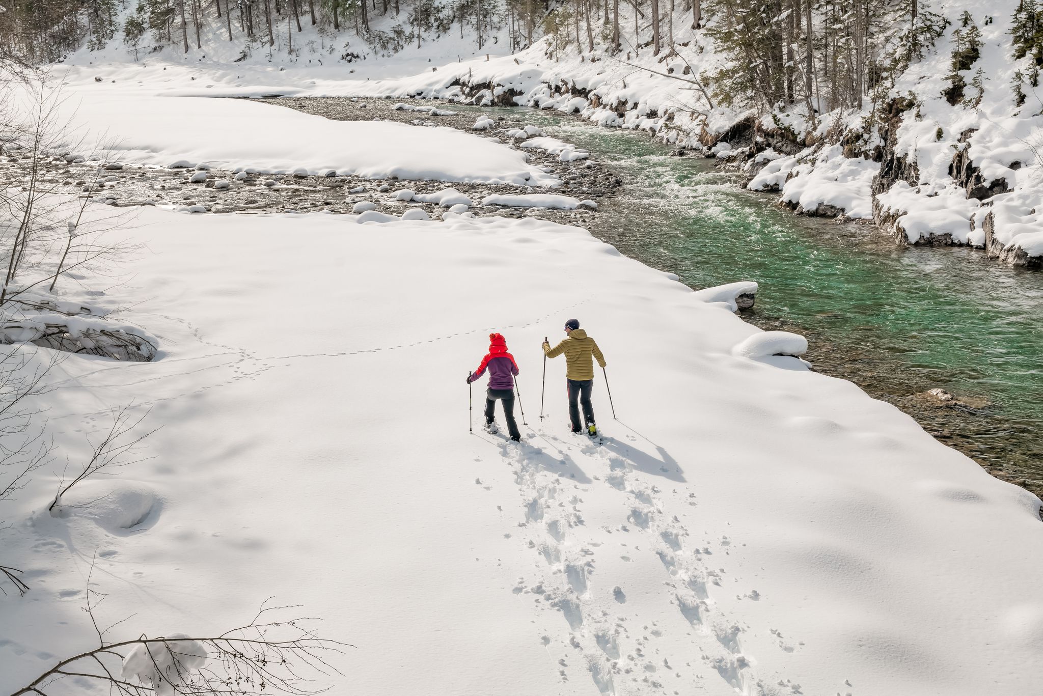
Winter hiking along the last wild river landscape in Europe – Tyrolean Lech Valley
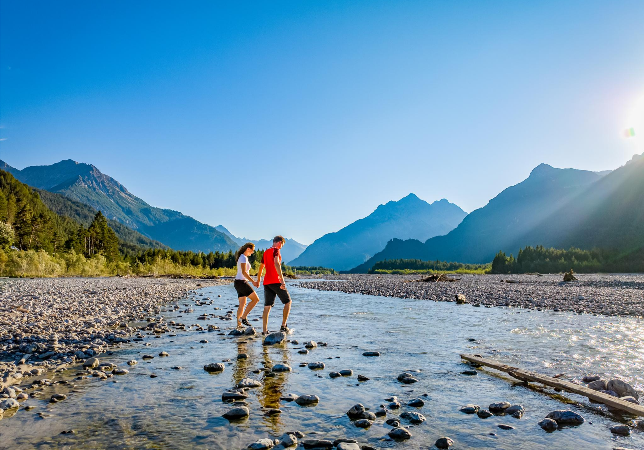
A river that runs wild – hiking in Austria’s Lechtal Valley
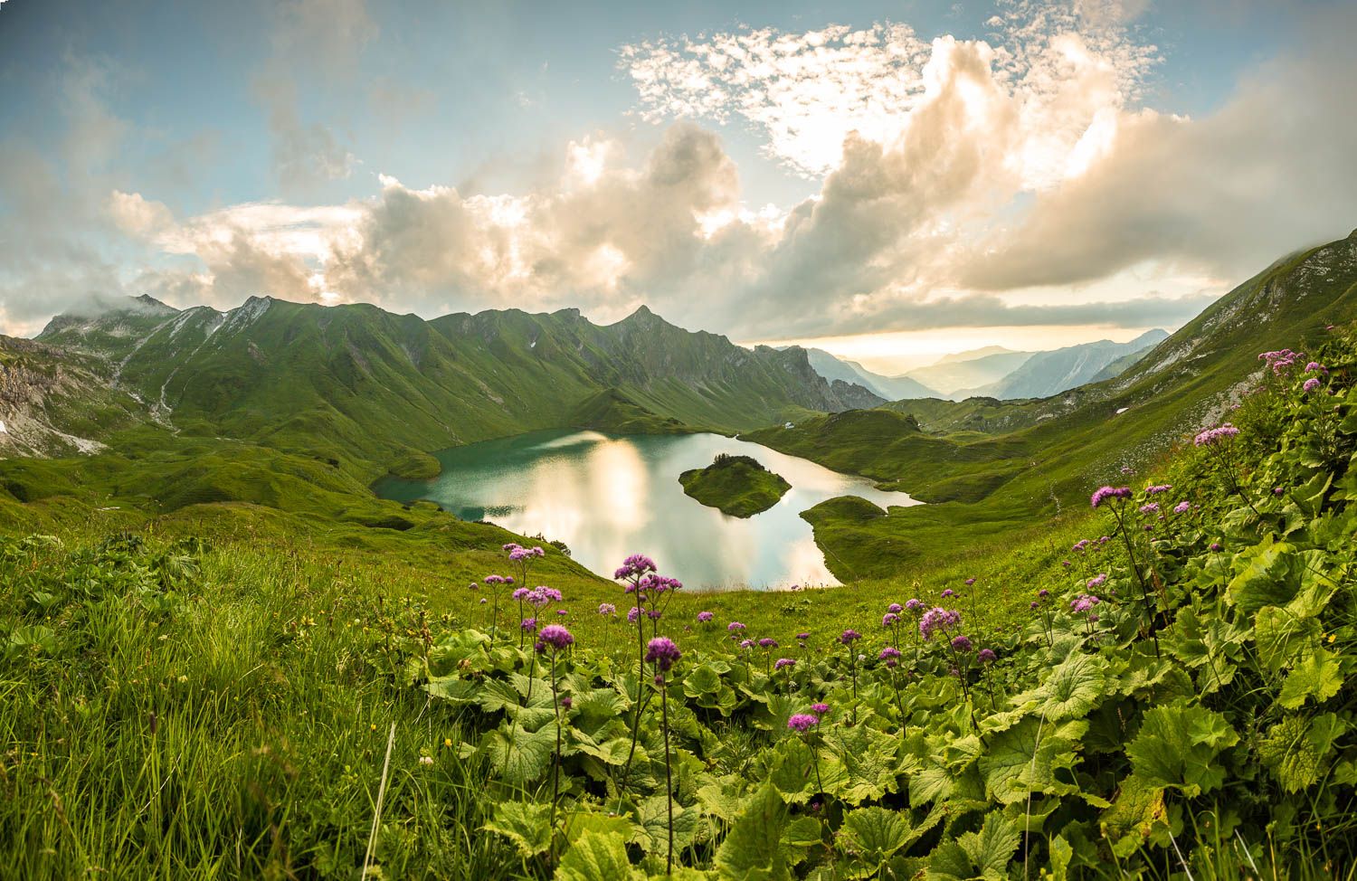
Grenzgänger – 6 Days Long Distance Hiking in Tannheimer Tal
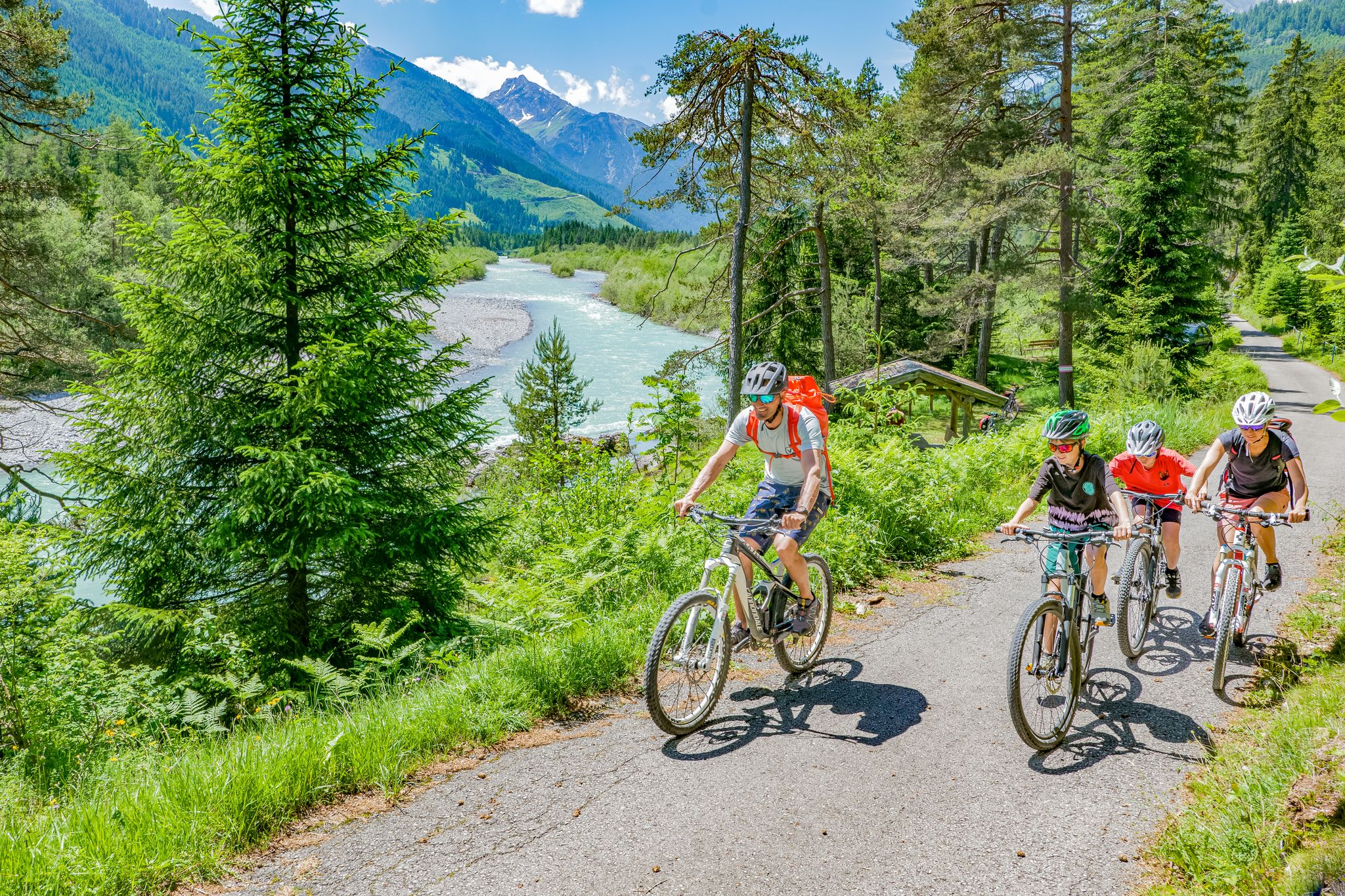
Cycling in the Tyrolean Lech Valley – 10 varied routes along the wild Lech river
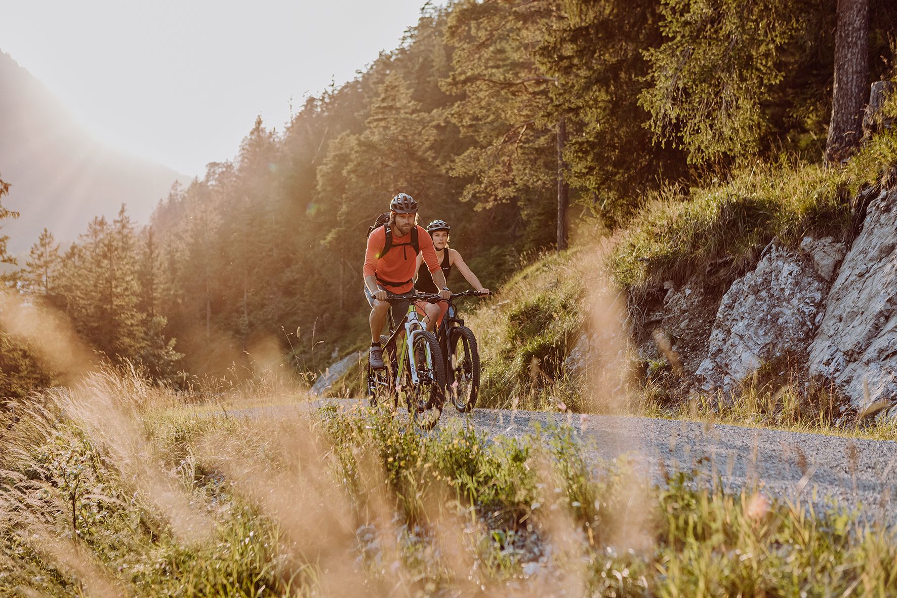
Alpine panorama and mountain huts – nature biking in Germany’s Allgäu
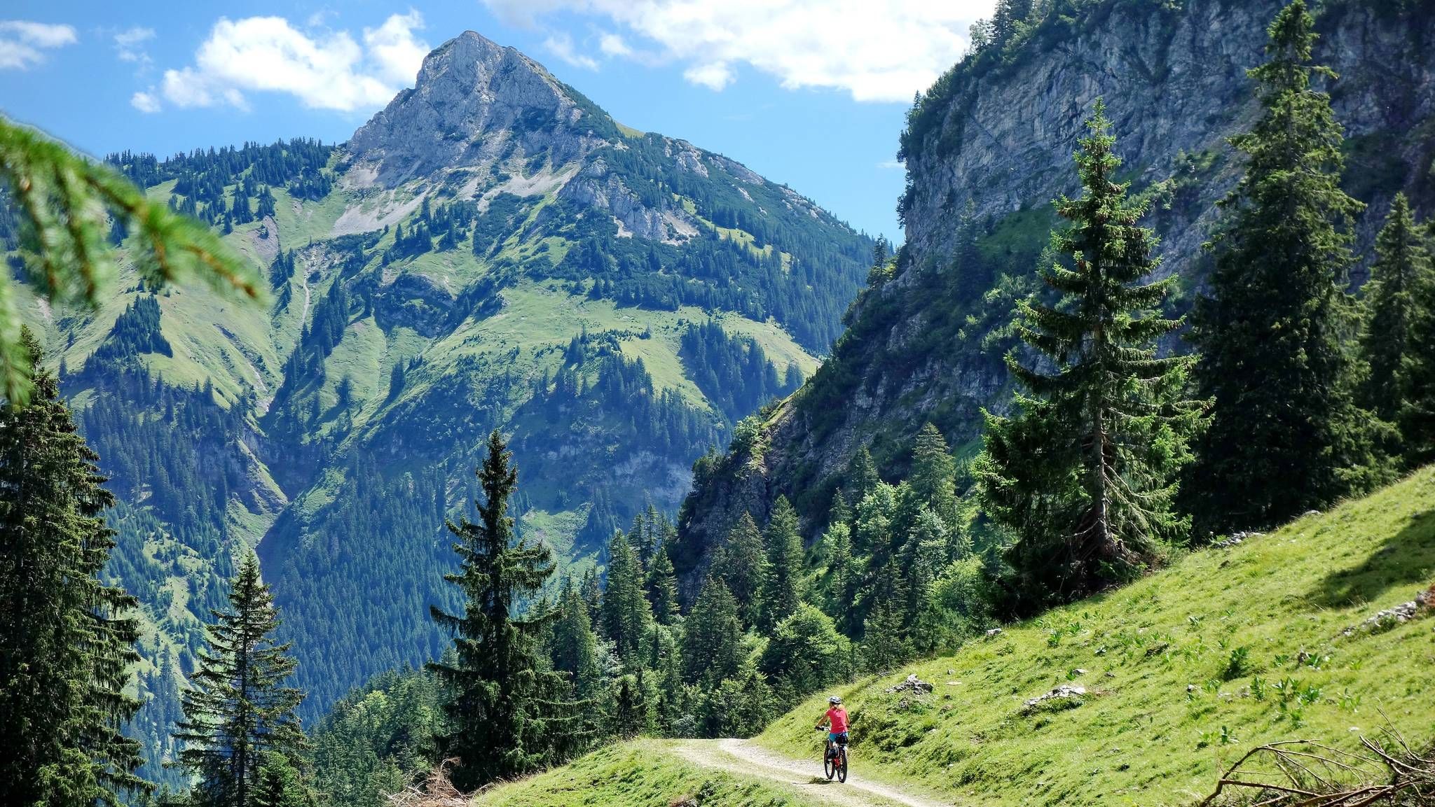
MTB fun around Austria’s Tannheim Valley
Other adventures around Hinterhornbach


Tips from the Community

Der Christlessee ist ein kristallklarer, blau-grüner Gebirgssee auf 916 Metern Höhe im idyllischen Trettachtal im Weiler Gottenried südöstlich von Oberstdorf im Allgäu. Der See wird von Karstquellen gespeist und hat Sommer wie Winter eine konstante Temperatur von 4 bis 6 °C. Deshalb friert er selbst bei extremen Minustemperaturen im Winter niemals zu. Direkt am See beziehungsweise wenige Meter entfernt lädt das Restaurant & Café Christlessee zur Einkehr ein. Öffnungszeiten: von 10.00 bis 17.30 Uhr , Warme Küche: von 11.00 bis 15.30 Uhr , Donnerstag und Freitag sind Ruhetage.
0
0

The Geierwally open-air theatre is nestled in the romantic Bernhardsschlucht gorge in Elbigenalp and offers a unique natural backdrop for emotional theatre and cultural performances. The inspiration is the fate of the historical Lechtal painter Anna Stainer-Knittel, whose courageous life is made tangible here in an impressive setting.
1
0
The Schnitzschule Lechtal in Elbigenalp is the oldest craft training center of its kind in Austria and is deeply rooted in the region's traditional wood carving. Today, the renowned vocational school masterfully combines centuries-old crafts with modern techniques in wood and stone processing.
0
0
The Geisler-Moroder Woodcarving School in Elbigenalp is a fascinating center for traditional and modern woodcraft in the Lechtal valley. In addition to a diverse range of courses, its own gallery surprises with an impressive mix of classical woodcarving and contemporary, modern sculptures. A visit is definitely worthwhile to marvel at first-class craftsmanship or to take home a special wood art piece as a souvenir.
2
0

Very inviting for a relaxing break with a panorama and Lech view
1
0
A beautiful spot to let the Lech and the panorama sink in. But you won't forget the area anyway, it's so wonderful here.
1
0
Very nice and informative center, around the Tyrolean Lech Nature Park.
0
0
Very nice spot for a break with a brilliantly beautiful view.
1
0
Frequently Asked Questions
How many easy hiking trails are available around Hinterhornbach?
Hinterhornbach offers a wide selection of easy hiking trails, with over 130 routes specifically categorized as easy. This ensures plenty of options for relaxed outings amidst the stunning alpine scenery.
Are the easy hiking trails around Hinterhornbach suitable for families or beginners?
Absolutely! The easy trails in Hinterhornbach are perfect for families and beginners, featuring gentle gradients and well-maintained paths. A great option for a relaxed outing is the Rest Area by the Lech River – View of the Lech River loop from Elmen, which offers riverside scenery and is often completed in about 1 hour 16 minutes.
Can I find easy circular hiking routes in the Hinterhornbach area?
Yes, many of the easy trails around Hinterhornbach are circular, allowing you to start and end at the same point. For example, the Nikolaus Bridge – Bernhardsbach Bridge loop from Elbigenalp is an easy 5.2 km (3.2 miles) route that offers beautiful views and a comfortable walking experience.
Are dogs allowed on the easy hiking trails in Hinterhornbach?
Generally, dogs are welcome on the hiking trails around Hinterhornbach. However, it's always recommended to keep them on a leash, especially when passing through pastures or near wildlife. Please be mindful of local regulations and other hikers.
What kind of natural features or viewpoints can I expect on easy hikes?
The easy hikes in Hinterhornbach are rich in natural beauty. You'll encounter the wild and wide natural riverbed of the Hornbach stream, extensive flower meadows, and magnificent panoramic views of the Hornbach chain and the Allgäu Alps. Keep an eye out for picturesque spots like the View of Vilsalpsee from Hintere Schafwanne, which offers stunning vistas.
Are there any places to stop for refreshments or food along the easy trails?
Yes, some trails lead to or pass by traditional alpine huts or guesthouses where you can enjoy local cuisine. The Gaisalpe Mountain Inn is a popular spot mentioned in the region, offering a chance to refuel. The Petersbergalm is also a well-known destination accessible via a moderate route, serving homemade cheese and fresh milk.
What do other hikers enjoy most about the easy trails in Hinterhornbach?
The easy trails in Hinterhornbach are highly regarded by the komoot community, boasting an average rating of 4.6 stars from over 4000 reviews. Hikers frequently praise the dramatic alpine scenery, the peaceful atmosphere of the Hornbach Valley, and the well-maintained paths that make for a relaxing and enjoyable experience.
What is the best time of year for easy hiking in Hinterhornbach?
The warmer months, from late spring to early autumn, are ideal for easy hiking in Hinterhornbach, when the flower meadows are in full bloom and the weather is pleasant. In winter, the area transforms into a paradise for winter hiking, with dedicated trails offering different scenic viewpoints.
Are there any easy routes that offer views of the Hornbach stream?
Yes, the Hornbach stream is a central feature of the valley, and many easy trails follow its course. You can enjoy picturesque riverside trails, such as the easy circular hike along the Hornbach stream to the Drähhütten, which allows you to experience its wild and natural riverbed.
Where can I find parking for easy hikes around Hinterhornbach?
Parking is generally available at the trailheads or in the villages near the starting points of the hikes. For routes originating from Elbigenalp, you can typically find parking facilities there. It's advisable to check local signage for specific parking areas and any potential fees.
Are there any shorter, easy loops for a quick walk?
Yes, if you're looking for a shorter, easy loop, consider the Gibler Alm – View of Bernhardsbach Gorge loop from Elbigenalp. This route is approximately 2.5 km (1.5 miles) long and offers lovely views, making it perfect for a quick, refreshing walk.
Most popular routes around Hinterhornbach
Most popular attractions around Hinterhornbach

Get inspired with the komoot mobile app


Explore more
Browse the best Hikes in other regions.
