Easy hikes and walks around Tamsweg
4.5
(10146)
47,774
hikers
748
hikes
Easy hiking trails around Tamsweg are set within Austria's Lungau region, characterized by diverse natural landscapes. The area features parts of the Nockberge Mountains and Radstädter Tauern, with elevations reaching over 3,000 meters. Hikers encounter vast alpine meadows, dense forests, and valleys shaped by glacial activity. Notable natural features include the tranquil Prebersee Lake and numerous mountain lakes, providing varied terrain for exploration.
Best easy hiking trails around Tamsweg
- The most popular easy hiking route is Gamskogel Hut – Marienkapelle…
Last updated: October 3, 2026
4.3
(27)
250
hikers
3.69km
01:14
180m
180m
Easy hike. Great for any fitness level. Easily-accessible paths. Suitable for all skill levels.
4.7
(28)
125
hikers
6.29km
01:54
210m
210m
Easy hike. Great for any fitness level. Easily-accessible paths. Suitable for all skill levels.

4.8
(59)
237
hikers
Easy hike. Great for any fitness level. Easily-accessible paths. Suitable for all skill levels.
4.4
(34)
96
hikers
Easy hike. Great for any fitness level. Easily-accessible paths. Suitable for all skill levels.
4.7
(199)
1,008
hikers
4.69km
01:27
180m
180m
Easy hike. Great for any fitness level. Easily-accessible paths. Suitable for all skill levels.
4.9
(11)
63
hikers
Easy hike. Great for any fitness level. Easily-accessible paths. Suitable for all skill levels.
4.6
(28)
88
hikers
5.07km
01:27
120m
120m
Easy hike. Great for any fitness level. Easily-accessible paths. Suitable for all skill levels.
4.6
(27)
76
hikers
6.75km
01:54
140m
140m
Easy hike. Great for any fitness level. Easily-accessible paths. Suitable for all skill levels.
4.6
(21)
82
hikers
Easy hike. Great for any fitness level. Easily-accessible paths. Suitable for all skill levels.
4.4
(11)
70
hikers
Easy hike. Great for any fitness level. Easily-accessible paths. Suitable for all skill levels.
Get access to more routes and recommendations from other explorers.
Already have an account?
Our route recommendations are based on thousands of hikes, rides, and runs completed by other people on komoot.
Start today with a free account
Your next adventure awaits.
Popular around Tamsweg

Easy hikes around Biosphere Salzburger Lungau and Kärntner Nockberge

Easy hikes in Riedingtal Nature Park
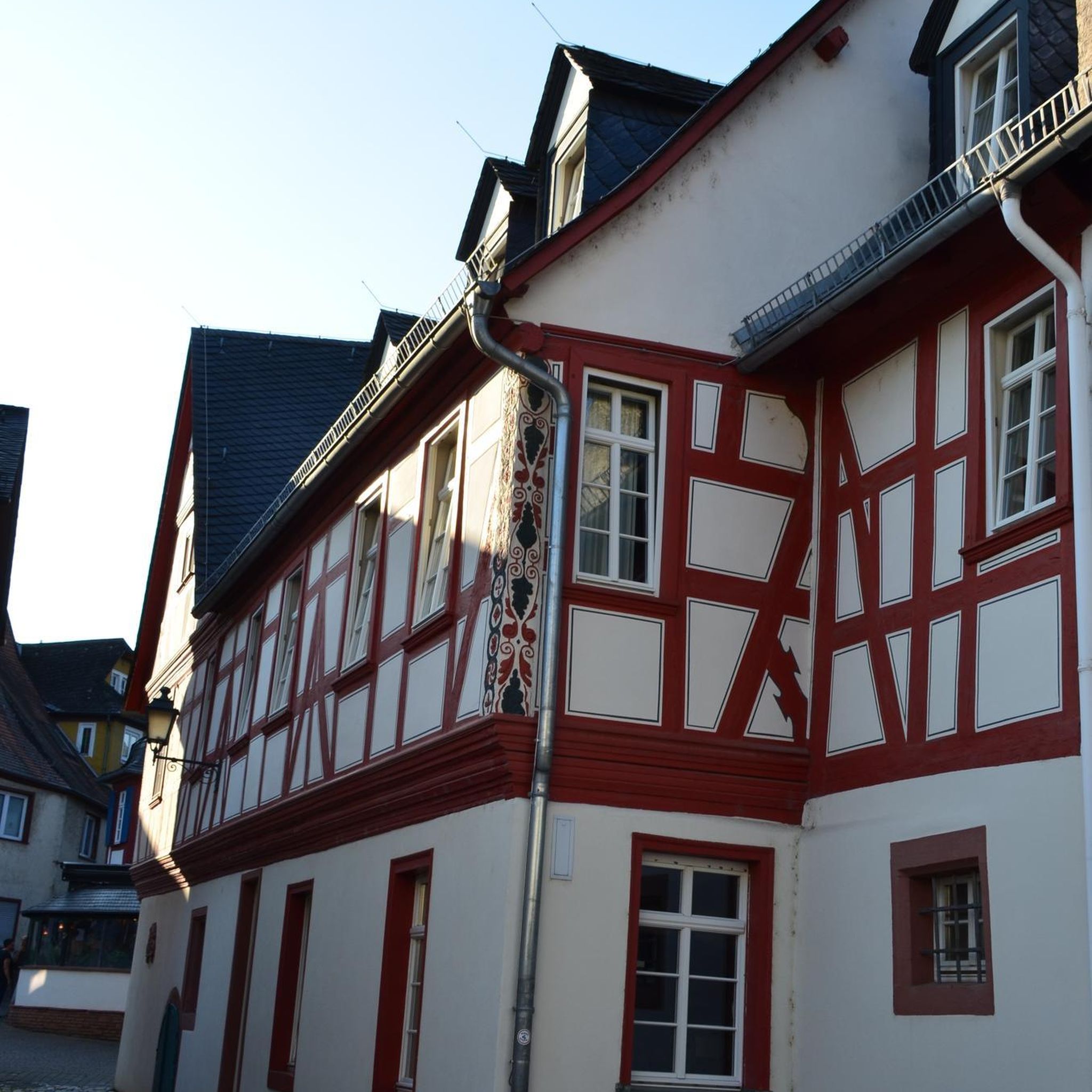
Easy hikes around Muhr

Easy hikes in Zickenbergwald

Easy hikes in Mitterberg
Easy hikes around Weißpriach
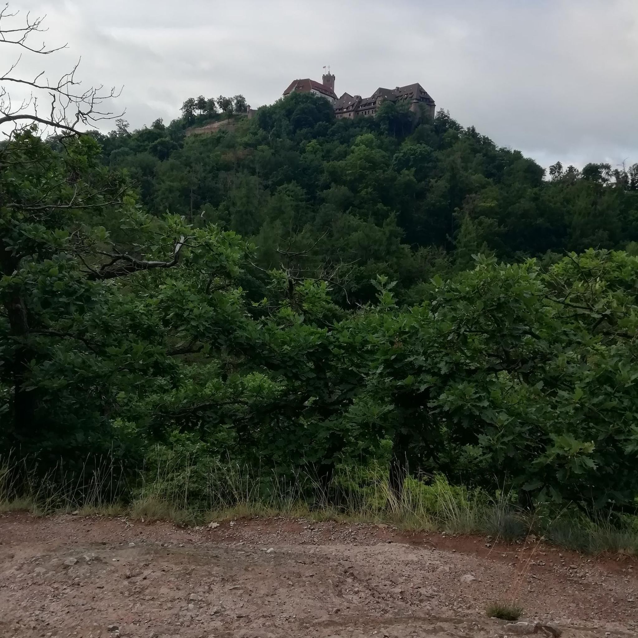
Easy hikes around Ramingstein

Easy hikes around Thomatal

Easy hikes around Tweng
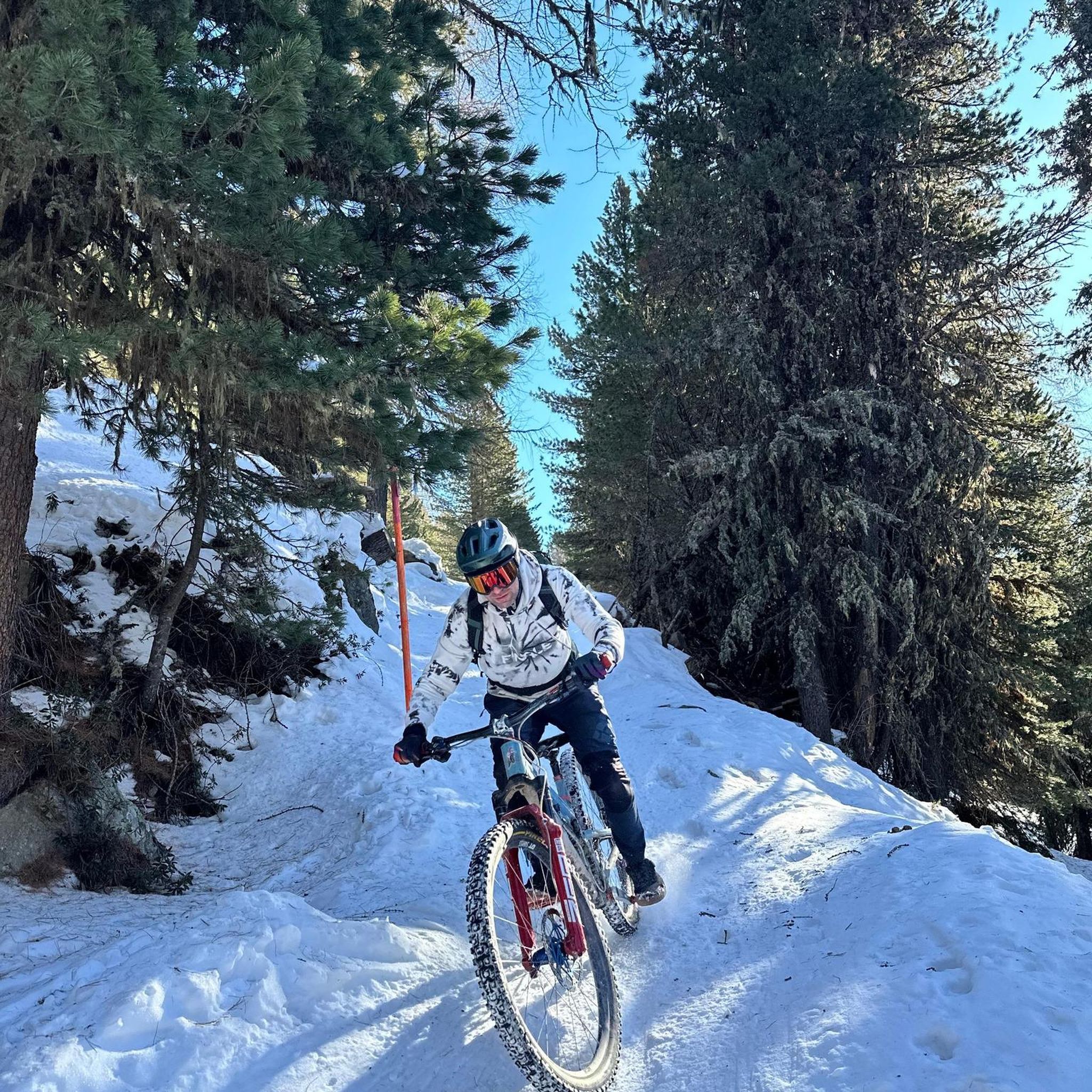
Easy hikes in Hinter-Wöltinger-Berg
Other adventures around Tamsweg


Tips from the Community

The Sonnenbahn is a modern cable car that comfortably transports hikers and skiers from St. Michael to the Großeck-Speiereck adventure mountain area. From the valley station at an altitude of 1000 meters to 1900 meters...
1
0
In Mauterndorf, at an altitude of about 1160 meters, lies the valley station of the Grosseckbahn, which offers space for 6 people. Upon arrival at the top, after about 6-7 minutes, you are 800 meters higher.
3
0
Modern 8-person cabins on the Sonnenbahn, which allow you to quickly ascend from an altitude of 1000 meters in the valley to an altitude of 1900 meters.
3
0
Located at 1960 meters with a nice hut and a large terrace to linger.
3
0
Above the mountain station and directly on the Rote Piste no. 4a at about 2000 meters altitude.
2
0

A fairly well-known ski resort with plenty of opportunities for après-ski and for seeing and being seen.
8
0
Visually, it's a rather unique accommodation... certainly a flagship property of Katschi.
7
0

Beautiful chapel at the end of the valley
0
0
Frequently Asked Questions
How many easy hiking trails are available around Tamsweg?
Tamsweg offers a wide selection of easy hiking trails, with over 300 routes specifically categorized as easy. The region's diverse landscape, from alpine meadows to dense forests, provides numerous accessible options for all skill levels.
Are there family-friendly easy hikes in Tamsweg?
Yes, Tamsweg is excellent for family-friendly hikes. Many easy trails are suitable for all ages, often featuring gentle gradients and interesting points. For example, the Small Forest Stream – Großeckbahn St. Michael loop from St. Michael im Lungau offers a pleasant walk through a forest alongside a stream, perfect for a family outing.
Can I find easy circular hiking routes in the Tamsweg area?
Circular routes are a highlight of easy hiking in Tamsweg. Many trails are designed as loops, bringing you back to your starting point. A popular option is the Gamskogel Hut – Marienkapelle Gamskogel loop from Katschberg, which offers a scenic loop around a mountain hut and chapel.
Are there easy trails that feature waterfalls or lakes?
Absolutely. The Tamsweg region is known for its numerous mountain lakes and natural water features. You can explore trails around the tranquil Prebersee Lake, or discover routes like the View of the Granier Waterfall – Glücksplatzl Waterfall loop from P2 for a chance to see a beautiful waterfall.
What kind of views can I expect on easy hikes around Tamsweg?
Easy hikes in Tamsweg offer diverse and stunning views. You can expect vistas of majestic peaks like the Hafner mountain, vast alpine meadows, lush forests, and serene mountain lakes. The Trogalm Lakes (Speiereck) – Speiereck Sun Lift loop from Großeck, for instance, provides beautiful alpine lake and mountain panoramas.
Are there any historical or cultural landmarks accessible via easy trails?
Yes, the region combines natural beauty with cultural interest. You can find easy trails that lead to or pass by historical sites. The Mauterndorf Castle – Mauterndorf Village and Castle loop from Mauterndorf is a great example, allowing you to explore a historic castle and village on an easy walk.
What is the best time of year for easy hiking in Tamsweg?
The best time for easy hiking in Tamsweg is generally from late spring to early autumn (May to October), when the weather is mild, and trails are clear of snow. During this period, alpine meadows are in bloom, and the mountain lakes are particularly inviting. Some lower-altitude trails may also be accessible in winter for snowshoeing or winter walks.
Are there options for dog-friendly easy trails?
Many easy trails in Tamsweg are dog-friendly, allowing you to enjoy the beautiful scenery with your canine companion. It's always recommended to keep dogs on a leash, especially in nature reserves or near grazing animals. The Mur Island in the Salzburger Lungau – Murinsel Recreation Area loop from St. Michael im Lungau is a pleasant, flat route suitable for walks with dogs.
Are there mountain huts or cafes along easy hiking routes?
Yes, many easy hiking routes in Tamsweg offer opportunities to stop at traditional mountain huts (Almen) or cafes. These provide a chance to rest, enjoy local refreshments, and take in the views. The area around Prebersee Lake, for example, has routes leading to the Preberalm and Grazer Hütte. You can also explore more huts and cabins in the region via the Huts and Cabins around Tamsweg guide.
What do other hikers enjoy most about easy trails in Tamsweg?
The easy trails in Tamsweg are highly rated by the komoot community, with an average score of 4.5 stars from over 8,900 reviews. Hikers often praise the well-maintained paths, the stunning natural beauty of the Lungau region, and the accessibility of routes that offer impressive mountain and lake views without requiring strenuous effort.
Are there easy hikes accessible by public transport?
While many trails are best reached by car, some areas around Tamsweg offer public transport connections. It's advisable to check local bus schedules for routes that serve trailheads or villages near your desired starting point. For instance, trails originating from St. Michael im Lungau or Mauterndorf might have better public transport access.
Where can I find parking for easy hikes near Tamsweg?
Parking is generally available at popular trailheads and in the villages surrounding Tamsweg, such as Katschberg, St. Michael im Lungau, and Mauterndorf. Many routes, like the Source of Life – Marienkapelle Gamskogel loop from Katschberg, start from locations with designated parking areas, making access convenient for hikers.
Are there any easy nature trails or themed paths?
Yes, Tamsweg offers several nature trails and themed paths designed for easy exploration and learning. The area around Prebersee Lake features a moor nature trail, and there are over twenty theme paths in the wider region, such as the 'Executioner's Path' on the Passeggen, which provides a historical context to your walk.
Most popular routes around Tamsweg
Most popular attractions around Tamsweg

Get inspired with the komoot mobile app


Didn’t find what you were looking for?
Check out more Hikes throughout Tamsweg below and find the perfect route in your destination.
Explore more
Browse the best Hikes in other regions.
