Easy hikes and walks around Alland
4.6
(9044)
42,123
hikers
173
hikes
Easy hiking trails around Alland are situated within the Vienna Woods, a region characterized by forests, hills, and river landscapes. The area lies in a valley basin, offering varied elevations and scenic views. This natural setting provides a diverse environment for outdoor activities, with the Schwechat River adding a historical and scenic element to the surroundings.
Best easy hiking trails around Alland
- The most popular easy hiking route is Helenental Trail – View of the Helenental loop from Bezirk Baden…
Last updated: August 10, 2026
4.6
(29)
97
hikers
7.08km
01:58
110m
110m
Easy hike. Great for any fitness level. Easily-accessible paths. Suitable for all skill levels.
4.5
(25)
84
hikers
5.03km
01:25
100m
100m
Easy hike. Great for any fitness level. Easily-accessible paths. Suitable for all skill levels.

Sign up for free
4.9
(20)
40
hikers
Easy hike. Great for any fitness level. Easily-accessible paths. Suitable for all skill levels.
4.8
(13)
33
hikers
Easy hike. Great for any fitness level. Easily-accessible paths. Suitable for all skill levels.
4.8
(9)
36
hikers
Easy hike. Great for any fitness level. Easily-accessible paths. Suitable for all skill levels.
Get access to more routes and recommendations from other explorers.
Sign up for free
Already have an account?
Our route recommendations are based on thousands of hikes, rides, and runs completed by other people on komoot.
Start today with a free account
Your next adventure awaits.
Login or Signup
Popular around Alland
Other adventures around Alland

Tips from the Community

Unfortunately, the ruins are closed, but on the Rainerweg there are beautiful views of the Helenental.
0
0

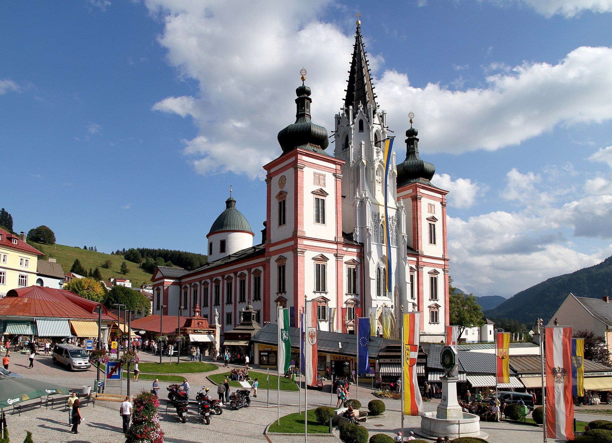
The pilgrimage church of Maria Raisenmarkt dates back to the Middle Ages and was elevated to pilgrimage status only a few decades ago. The right side altar contains a particularly venerated Madonna of Lourdes.
5
0

After the flood, the path and the parallel cycle path are open again.
0
3

Very beautiful panoramic trail, past the Badner climbing school
4
0

The Antonsgrotte opposite the Cholera Chapel in Helenental is a popular destination. The place of worship, always decorated with candles, now has another attraction. Bird feeding is carried out there with particular passion, and indeed: the birds eat a lot and happily. BADEN. Bird feeding at the Antonsgrotte is a tradition. Elisabeth Werkmann - she has been looking after the Antonsgrotte for five years - took over this task last year from her predecessor, who suddenly dropped out. Source: www.meinbezirk.at/baden/c-lokales/kerzerln-vogerln-und-baeume-mit-gesichtern_a7034811
9
1
The network of promenades dates back to Archduke Anton (1779–1835), who had it built in the years up to 1829. The highlight was the Antonsgrotte, which stands roughly opposite the Cholera Chapel, which did not yet exist at the time. The approximately 2.2 km long section of the Helenental from Antonsbrücke to Antonsgrotte is therefore called Antonstal. Source: https://de.m.wikipedia.org/wiki/Helenental
9
0

There is a nice shady spot here with a great view.
1
0
The Helenental valley meanders along the romantic Schwechat on the much-sung path along the Helenental valley. Starting from Baden, hike towards Heiligenkreuz.
1
0
Frequently Asked Questions
How many easy hiking trails are available around Alland?
Alland offers a wide selection of easy hiking trails, with over 45 routes specifically categorized as easy. In total, there are more than 170 hiking routes in the area, catering to various preferences and skill levels within the picturesque Vienna Woods.
What kind of terrain can I expect on easy hikes in Alland?
Easy hikes in Alland typically feature gentle hill landscapes, dense forests, and river valleys. The area is situated in a valley basin, offering varied elevations that provide scenic views without being overly strenuous. You'll find well-maintained paths suitable for relaxed walks.
Are there any family-friendly easy hikes in Alland?
Yes, many of the easy trails are suitable for families. For a pleasant outing, consider the Mayerling Castle – To the Old Hunting Lodge loop from Katastralgemeinde Alland. This 4.5 km route is relatively flat, making it ideal for families with children, and includes a visit to the historic Mayerling Castle area.
Can I bring my dog on the easy hiking trails?
Most easy hiking trails in Alland are dog-friendly. It's generally recommended to keep dogs on a leash, especially in forested areas and near wildlife. Always ensure you carry water for your pet and clean up after them. Specific leash rules may vary by municipality or protected area within the Vienna Woods.
Are there any circular easy hiking routes in Alland?
Yes, Alland has several excellent circular routes perfect for easy hikes. A popular choice is the View of Aland – Alland Circular Walk loop from Katastralgemeinde Alland, which is 5 km long and offers lovely views of the Alland area. Another option is the Wooden Bridge Path – Gentle Hill Landscape loop from Biosphärenpark Wienerwald Kernzone Höherberg, a 6.8 km route through gentle hills.
What natural attractions or landmarks can I see on easy hikes around Alland?
Alland's easy hikes offer access to several interesting natural and historical features. You might encounter the impressive 450-year-old Türkenhasel Tree, or the historic covered footbridge over the Schwechat River. For a unique natural wonder, the Allander stalactite cave on Buchberg is nearby, home to a 10,000-year-old bear skeleton. While not directly on an easy trail, the Seegrotte Hinterbrühl – Europe's Largest Underground Lake is also a notable attraction in the wider region.
Are there any viewpoints on the easy trails in Alland?
While many easy trails offer pleasant views of the valley basin and surrounding forests, for more expansive panoramic views, you might consider trails that lead to slightly higher elevations. The region research mentions the Sina Warte at the summit of the Hoher Lindkogel for fantastic panoramic views, though this might be on a slightly more challenging route. Many easy routes, like the Helenental Trail – View of the Helenental loop from Bezirk Baden, provide beautiful vistas of the Helenental valley.
What is the best time of year for easy hikes in Alland?
Alland is beautiful year-round, but spring, summer, and autumn are particularly pleasant for easy hikes. Spring brings blooming flora, summer offers lush greenery, and autumn showcases vibrant fall colors. Even in winter, with appropriate gear, some trails can be enjoyed, especially after a fresh snowfall, creating a serene landscape.
Are there places to eat or have a coffee near the hiking trails in Alland?
Yes, Alland is a market town with amenities. You'll find cafes and pubs in the town center where you can relax and refuel after your hike. Many local establishments offer traditional Austrian cuisine and refreshments, providing a welcoming stop for hikers.
What do other hikers enjoy most about hiking in Alland?
The area is highly rated by the komoot community, with an average score of 4.5 stars from over 1,100 reviews. Hikers often praise the quiet woodlands, the well-marked paths, and the diverse natural features within the Vienna Woods. The accessibility and variety of easy trails, combined with the scenic beauty, are frequently highlighted as key attractions.
Is parking available near the easy hiking trails in Alland?
Yes, parking is generally available in and around Alland, often near trailheads or in designated parking areas within the town. Many routes, such as the Wooden Bridge Path – Gentle Hill Landscape loop from Katastralgemeinde Mayerling, are easily accessible by car with nearby parking options, making it convenient to start your hike.
Can I reach the easy hiking trails in Alland using public transport?
Alland is accessible by public transport, which can connect you to various starting points for hikes. The Vienna Woods region, in general, has public transport links. For specific routes, it's advisable to check local bus schedules to see which lines serve the trailheads you are interested in. Information on public transport in Lower Austria can be found on the Lower Austria tourism website.
Most popular routes around Alland
Most popular attractions around Alland

Get inspired with the komoot mobile app


Explore more
Browse the best Hikes in other regions.
