Easy hikes and walks around Klingenthal
4.6
(9891)
32,728
hikers
292
hikes
Easy hiking trails around Klingenthal are set within the diverse landscape of the southeastern Vogtland region, part of the Ore Mountains/Vogtland Nature Park. The area features gentle hills, extensive forests, and picturesque valleys, providing varied terrain for outdoor activities. Hikers can explore unique natural features like the Schneckenstein Topaz Rock and enjoy views from various vantage points. The region's network of paths offers accessible options for different fitness levels.
Best easy hiking trails around Klingenthal
- The most popular easy hiking…
Last updated: October 3, 2026
4.6
(34)
165
hikers
7.30km
02:00
110m
110m
Easy hike. Great for any fitness level. Easily-accessible paths. Suitable for all skill levels.
4.8
(32)
105
hikers
5.50km
01:36
150m
140m
Easy hike. Great for any fitness level. Easily-accessible paths. Suitable for all skill levels.

5.0
(13)
38
hikers
4.89km
01:32
180m
180m
Easy hike. Great for any fitness level. Easily-accessible paths. Suitable for all skill levels.
4.5
(19)
70
hikers
Easy hike. Great for any fitness level. Easily-accessible paths. Suitable for all skill levels.
4.3
(8)
43
hikers
6.13km
01:42
110m
110m
Easy hike. Great for any fitness level. Easily-accessible paths. Suitable for all skill levels.
Get access to more routes and recommendations from other explorers.
Already have an account?
Our route recommendations are based on thousands of hikes, rides, and runs completed by other people on komoot.
Start today with a free account
Your next adventure awaits.
Popular around Klingenthal
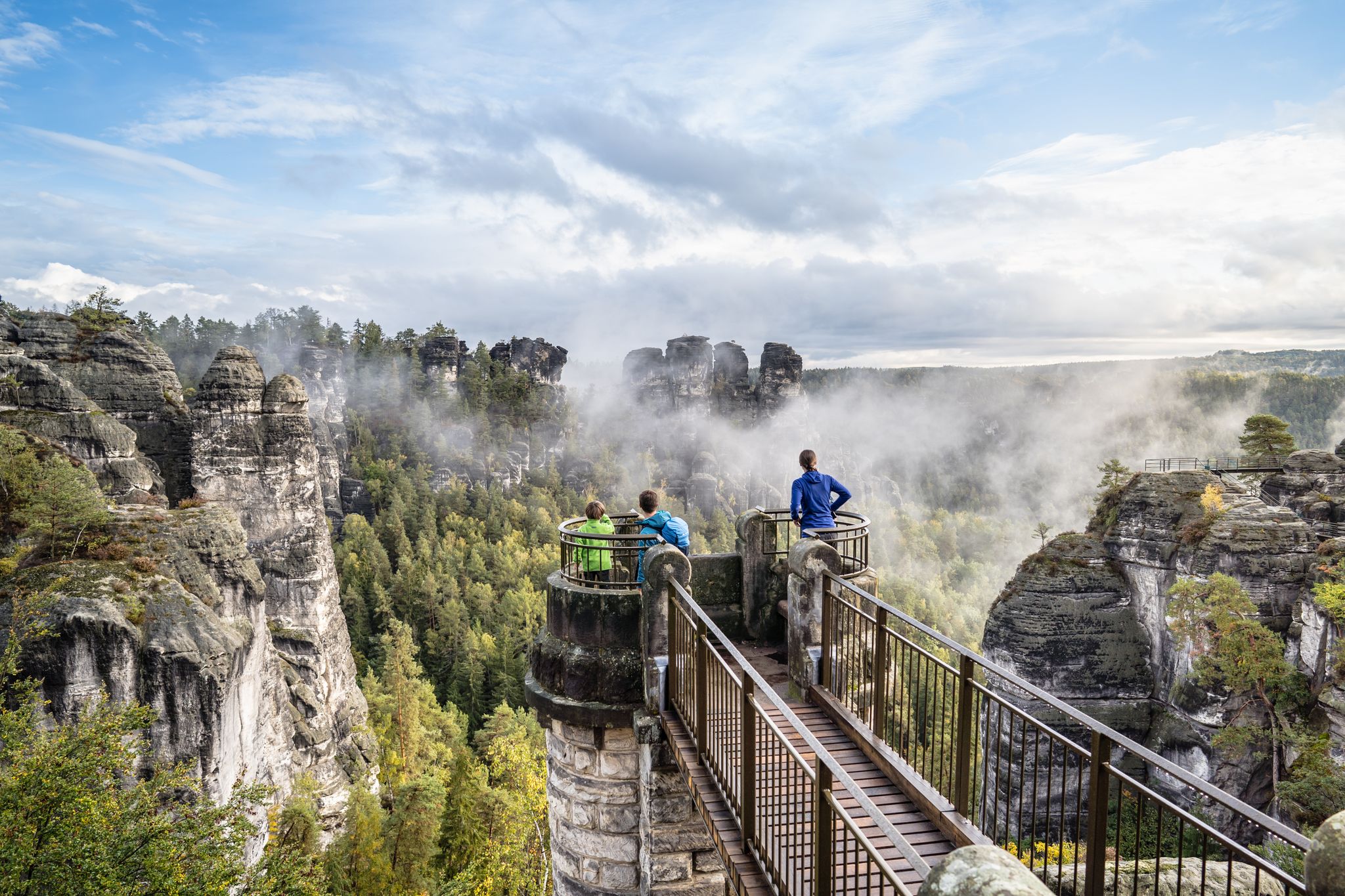
Natural wonders of Saxony – hiking with the wow factor

History meets nature – Erzgebirge-Vogtland Ridge Trail

The Klingenthal Trail & Zeulenroda Dam – Hiking in Vogtland in Germany
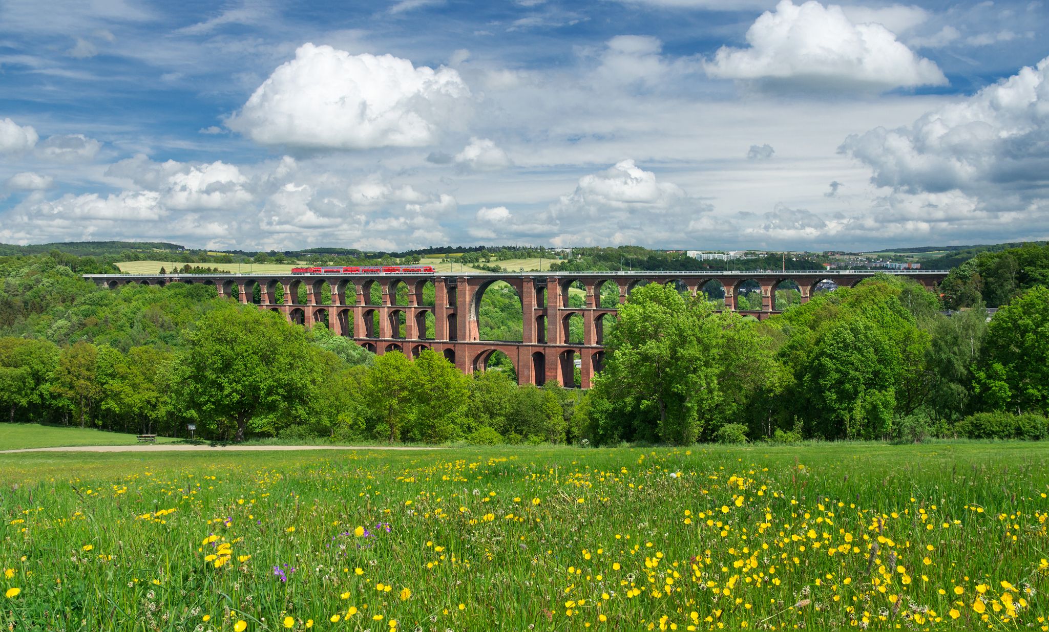
Experience nature’s symphony – Vogtland Panorama Trail

Pure road and gravel riding joy through Saxony

Gravel and road cycling in the Vogtland region

A snowy paradise – winter hiking and cross-country skiing in Germany’s Vogtland
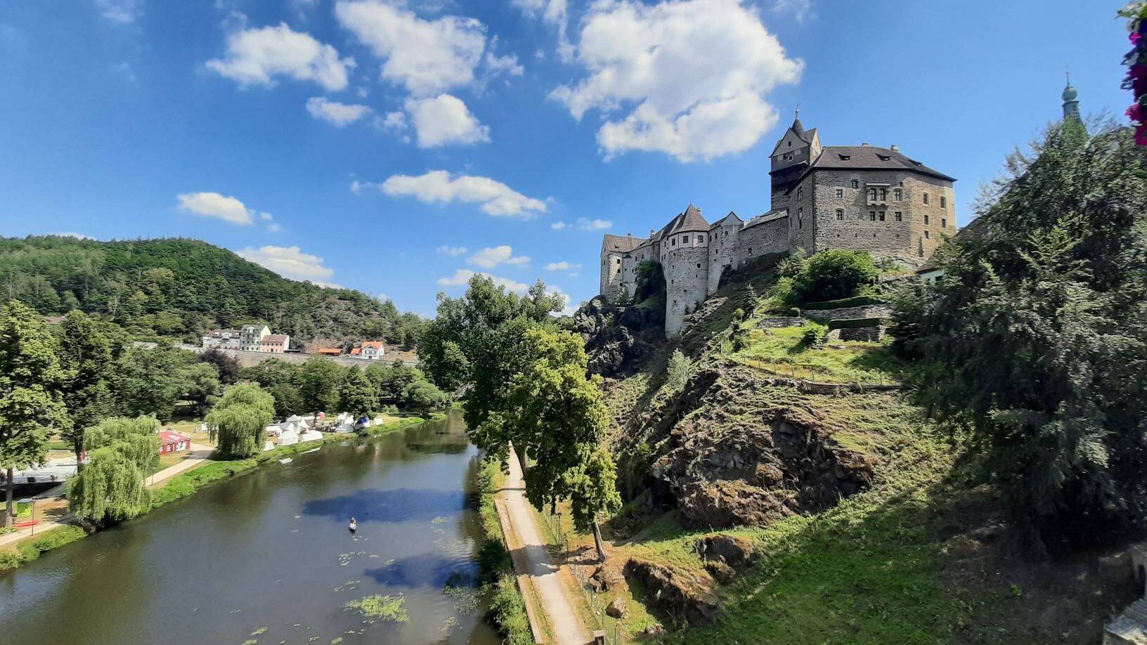
Through the heart of Europe – riding the Euregio Egrensis

Schotterglück und Overnight-Abenteuer – Graveln mit Roeckl Sports
Other adventures around Klingenthal


Tips from the Community

a great place for a break with a view. Unfortunately, it is rather difficult to reach by bike.
0
0


From Alberthöhe, you have a wonderful panoramic view of Klingenthal. From Staffelweg up to Aschberg, Pudelmütze, Mittelberg, Körnerberg, and the new housing development… everything is visible. An information panel about Klingenthal's textile history is also located here. The zoo is also nearby.
1
0

in winter you can go tobogganing here
0
0

Here at the edge of the forest you have a wonderful view of Mühlleithen and the Mühlleithner meadows, once the venue for the international women's ski race.
0
0
The arnica meadows above Winselburg are a beautiful experience, especially in early summer.
0
0

could be better maintained!🙈🤔
0
0

Frequently Asked Questions
How many easy hiking trails are available around Klingenthal?
Klingenthal offers a wide selection of easy hiking trails, with over 120 routes suitable for various fitness levels. These trails wind through the gentle hills, dense forests, and picturesque valleys of the Vogtland region.
What kind of natural landmarks can I see on easy hikes in Klingenthal?
Many easy hikes in Klingenthal feature unique natural landmarks. You can explore the rare Schneckenstein Topaz Rock, one of only two such formations worldwide. Trails also lead past beautiful water features like the Muldenberg Reservoir, Falkenstein Reservoir, and the scenic Rißfälle Waterfalls.
Are there any easy circular hiking routes in Klingenthal?
Yes, Klingenthal has several easy circular routes perfect for a relaxed day out. A popular option is the Aschberg Alm – Aschberg Observation Tower loop from Sternteich, which offers great views. Another is the View of Mühleiten Village – Schneckenstein Topaz Rock loop from Vogtlandschanzen, combining natural beauty with village views.
Which easy trails are suitable for families with children?
Many easy trails in Klingenthal are family-friendly, featuring gentle terrain and interesting sights. The View of Mühleiten Village – Schneckenstein Topaz Rock loop from Vogtlandschanzen is a great choice, as children often enjoy the unique geological formation. Routes around the reservoirs, like those near the Muldenberg Reservoir, also offer pleasant, flat paths.
Can I bring my dog on the easy hiking trails in Klingenthal?
Most easy hiking trails in Klingenthal are dog-friendly, allowing you to enjoy the beautiful scenery with your canine companion. The region's dense forests and open paths provide ample space. Always keep your dog on a leash, especially near wildlife or other hikers, and remember to carry waste bags. The Meisel Pond – Dürrenbach Campground loop from Klingenthal is a good option for a walk with your dog.
What is the best time of year for easy hikes in Klingenthal?
The best seasons for easy hiking in Klingenthal are spring and autumn. In spring, the landscape bursts with new growth and vibrant colors, while autumn offers stunning foliage. Both seasons typically provide pleasant temperatures for walking. While winter hiking is possible, some trails may be covered in snow or ice, requiring appropriate gear.
Are there easy hikes with good viewpoints in Klingenthal?
Absolutely. The region is known for its panoramic views. The Aschberg Alm – Aschberg Observation Tower loop from Sternteich leads directly to the Aschberg Observation Tower, offering spectacular vistas of the surrounding Vogtland and Bohemian Ore Mountains. Another route, the Meisel Pond – View of Klingenthal loop from Klingenthal, provides lovely views of the town and its surroundings.
Where can I find parking for easy hiking trails in Klingenthal?
Many easy hiking trails in Klingenthal have accessible starting points with nearby parking. For example, trails around the Aschberg often have parking available near Sternteich or the Aschberg Alm. Routes starting from Vogtlandschanzen or directly from Klingenthal also typically offer convenient parking options, making it easy to begin your hike.
Are there any easy trails accessible by public transport in Klingenthal?
Klingenthal has a local public transport network that can provide access to various trailheads. While specific bus stops for every easy trail vary, many routes start close to the town center or are reachable via short walks from bus stops. It's advisable to check local bus schedules for the most convenient access to your chosen starting point.
What do other hikers say about the easy trails in Klingenthal?
The easy trails in Klingenthal are highly regarded by the komoot community, boasting an average rating of 4.6 stars from over 2,400 reviews. Hikers frequently praise the region's diverse landscapes, the well-maintained paths, and the peaceful atmosphere. Many appreciate the accessibility of unique natural features like the Schneckenstein Topaz Rock and the rewarding viewpoints.
Are there easy hiking trails that pass by cafes or restaurants in Klingenthal?
Yes, several easy hiking trails in Klingenthal offer opportunities to stop for refreshments. Routes around the Aschberg, for instance, may pass by the Aschberg Alm, which provides a place to eat and drink. In general, trails closer to Klingenthal town center or passing through smaller villages often have cafes or restaurants nearby, perfect for a break.
Are there any cross-border easy hiking options near Klingenthal?
Yes, Klingenthal is located near the Czech border, offering unique cross-border hiking experiences. The Granite Formations – Rest Area with View of Bublava loop from Bublava is an easy trail that takes you into the border region, providing views towards the Czech town of Bublava and showcasing interesting granite formations. The wider region also features the 'Hiking without Limits' trail, symbolizing German-Czech friendship.
Most popular routes around Klingenthal
Most popular attractions around Klingenthal

Get inspired with the komoot mobile app


Explore more
Browse the best Hikes in other regions.
