Easy hikes and walks around Grafenhausen
4.6
(9984)
32,845
hikers
105
hikes
Easy hiking trails around Grafenhausen are found on a sunny high plateau in the Southern Black Forest, characterized by dense forests, rolling hills, and picturesque valleys. The region features significant natural landmarks such as the Schluchsee and Schlüchtsee lakes, along with the impressive Wutach Gorge. This diverse landscape offers a variety of accessible paths and nature discovery trails, with 59 easy hiking routes available for exploration.
Best easy hiking trails around Grafenhausen
- The most popular easy hiking route is Schlühüwanapark…
Last updated: September 26, 2026
4.6
(52)
220
hikers
2.85km
00:47
50m
50m
Easy hike. Great for any fitness level. Easily-accessible paths. Suitable for all skill levels.
4.3
(3)
13
hikers
6.15km
01:41
100m
100m
Easy hike. Great for any fitness level. Easily-accessible paths. Suitable for all skill levels.

4.5
(17)
67
hikers
Easy hike. Great for any fitness level. Easily-accessible paths. Suitable for all skill levels.
4.8
(24)
84
hikers
5.48km
01:28
60m
60m
Easy hike. Great for any fitness level. Easily-accessible paths. Suitable for all skill levels.
4.5
(8)
28
hikers
6.63km
01:47
80m
80m
Easy hike. Great for any fitness level. Easily-accessible paths. Suitable for all skill levels.
Get access to more routes and recommendations from other explorers.
Already have an account?
Our route recommendations are based on thousands of hikes, rides, and runs completed by other people on komoot.
Start today with a free account
Your next adventure awaits.
Popular around Grafenhausen
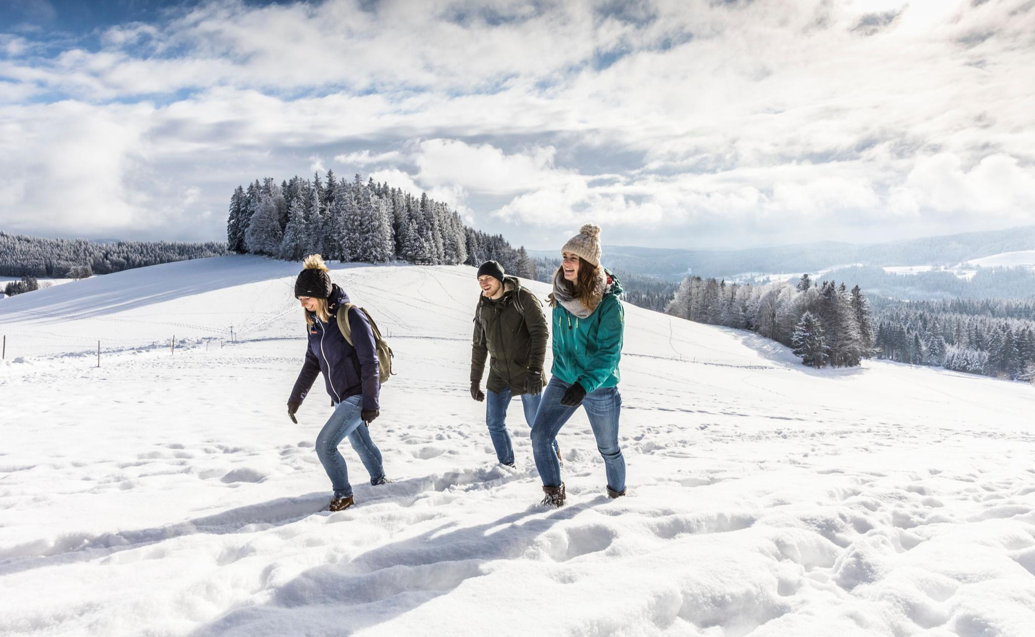
Black Forest Highlands – Winter Hiking with Snow, Silence and Vast Views
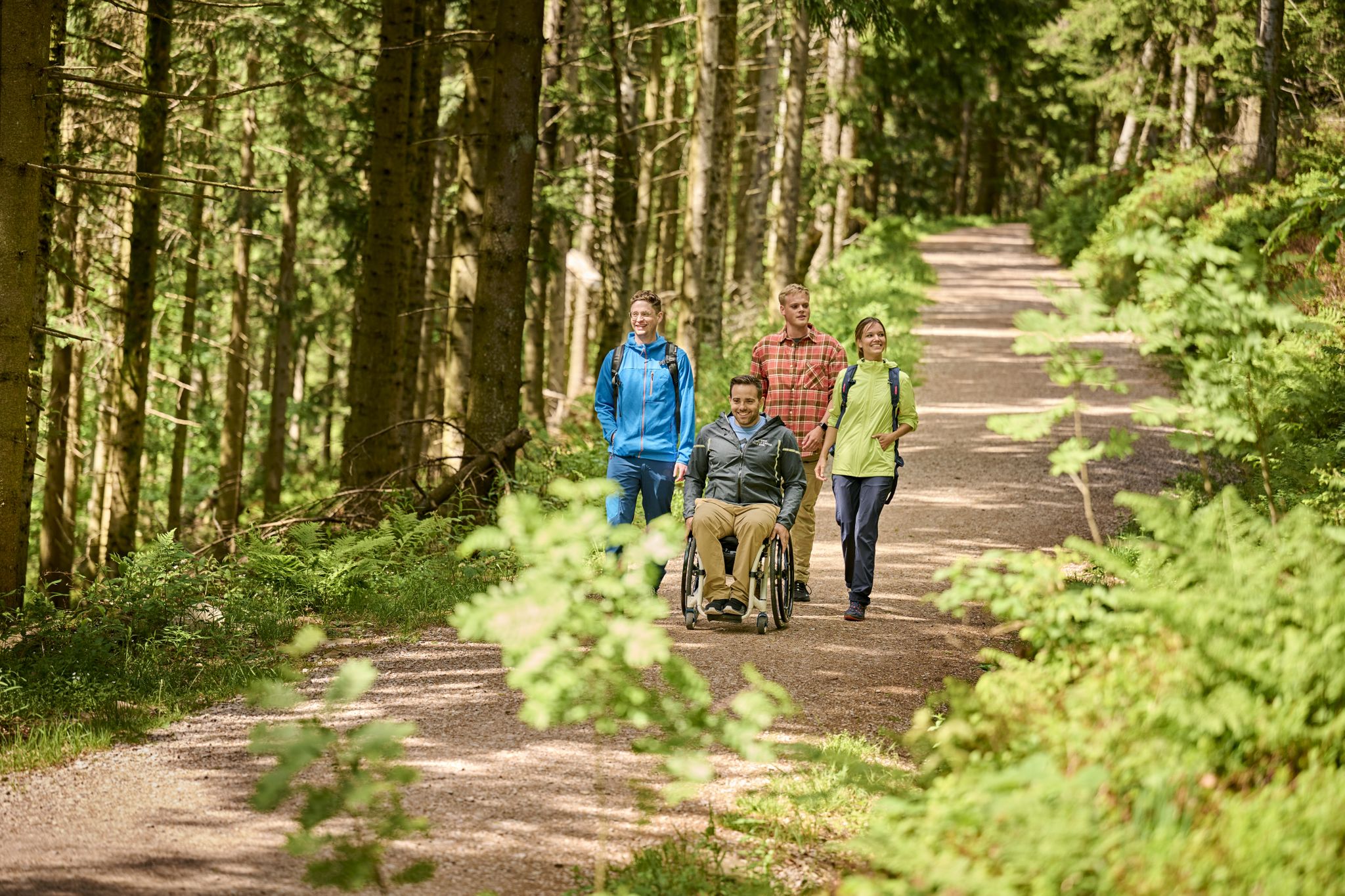
Accessible hiking routes in Baden-Württemberg
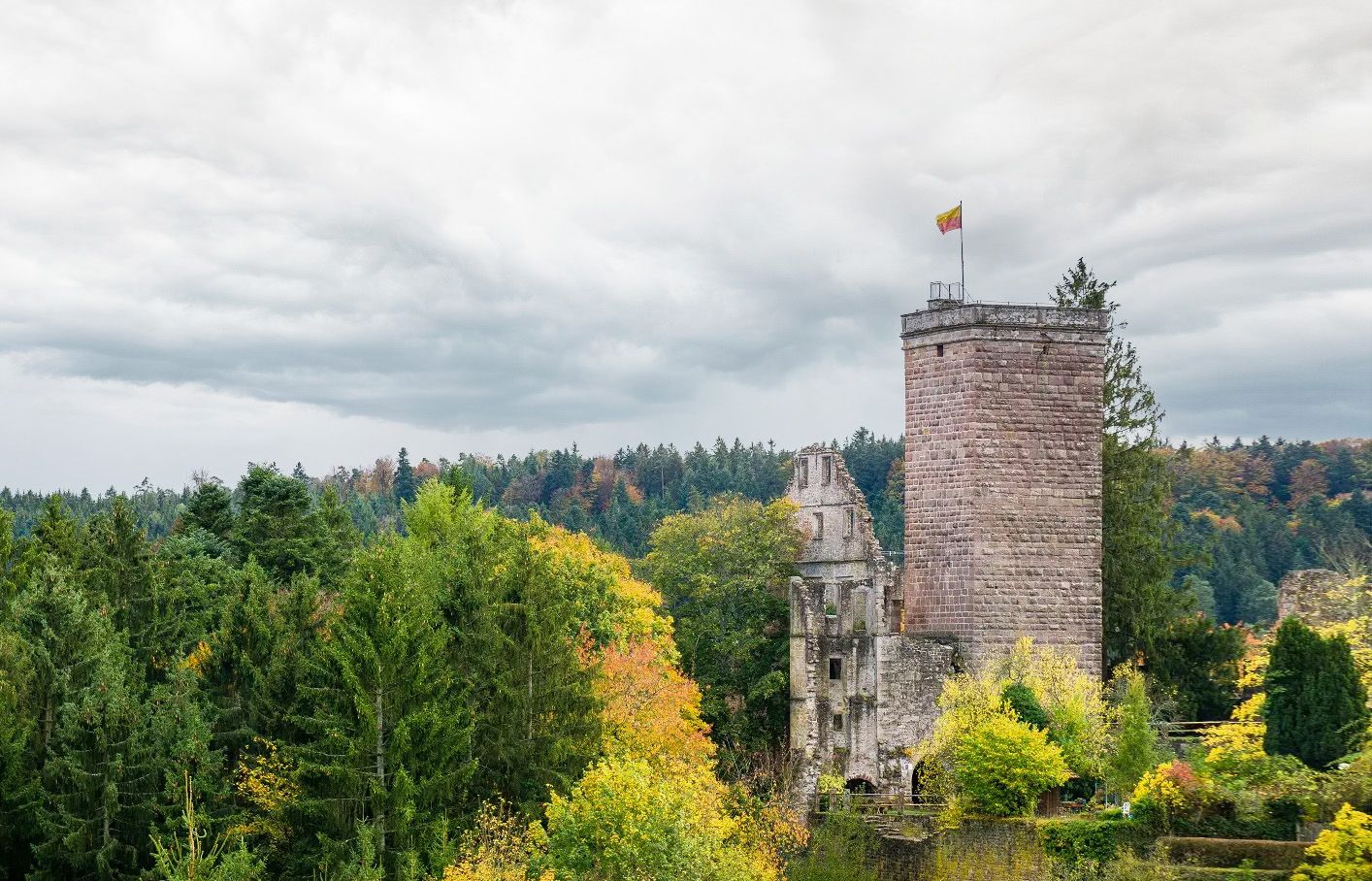
Castles, ghosts and knights – hike in Germany’s Black Forest pleasure trails
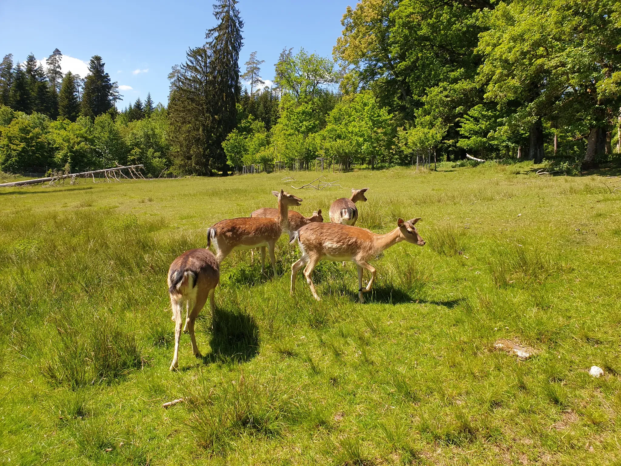
Animals and spectacular landscapes – Black Forest pleasure trails
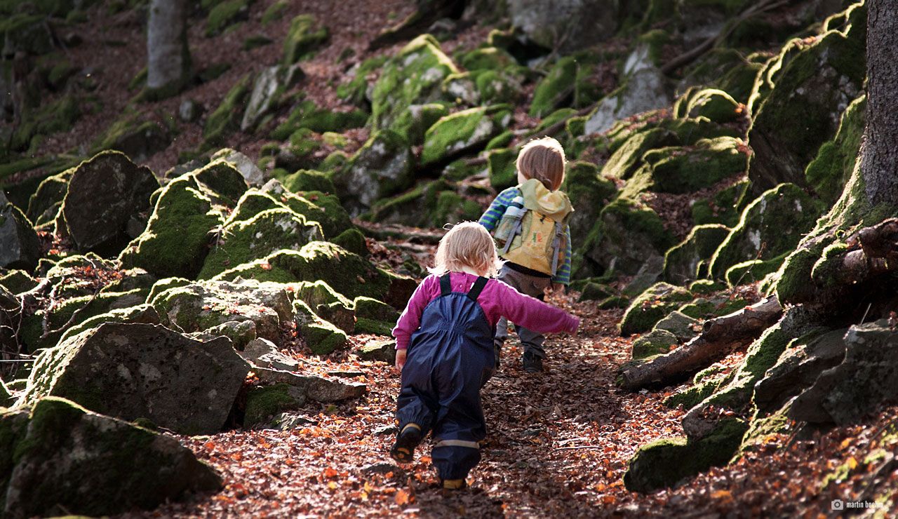
Discover nature through play – adventure trails for kids in the Upper Black Forest
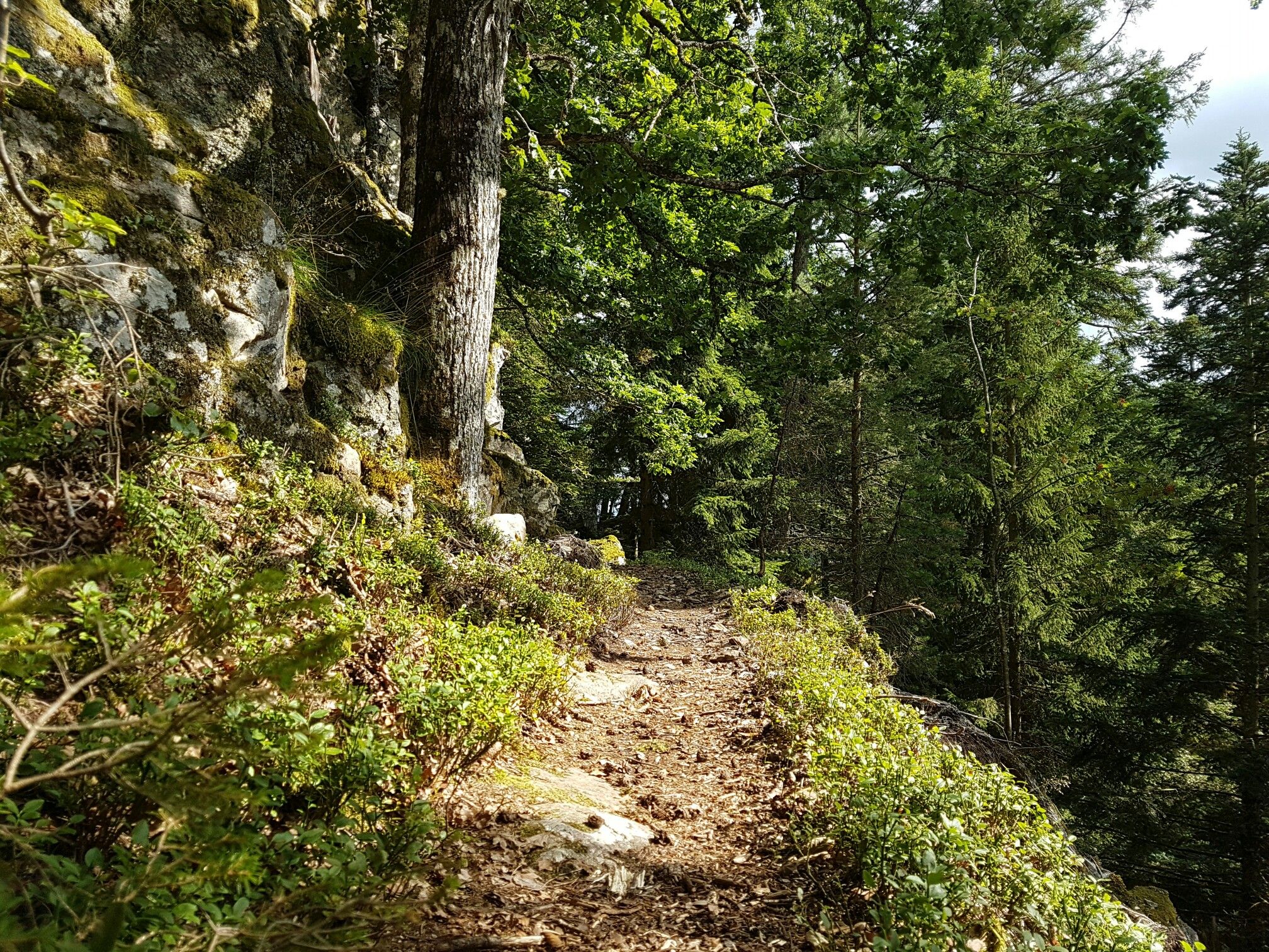
Through gorges on the Black Forest pleasure trails
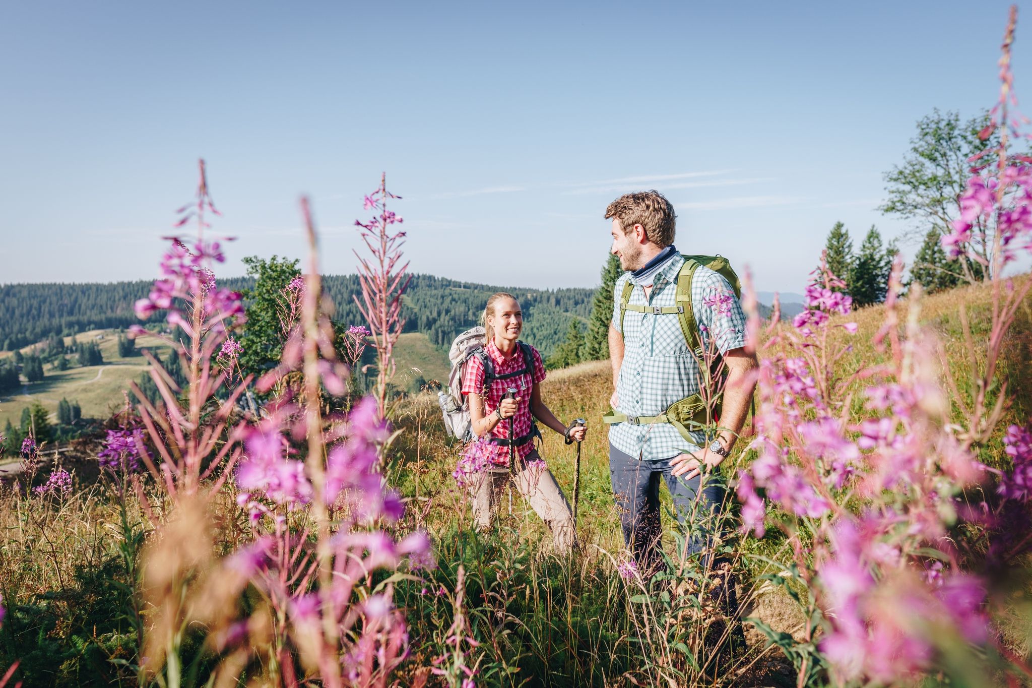
Wonderful hiking – discover the Black Forest’s culture, history, and nature
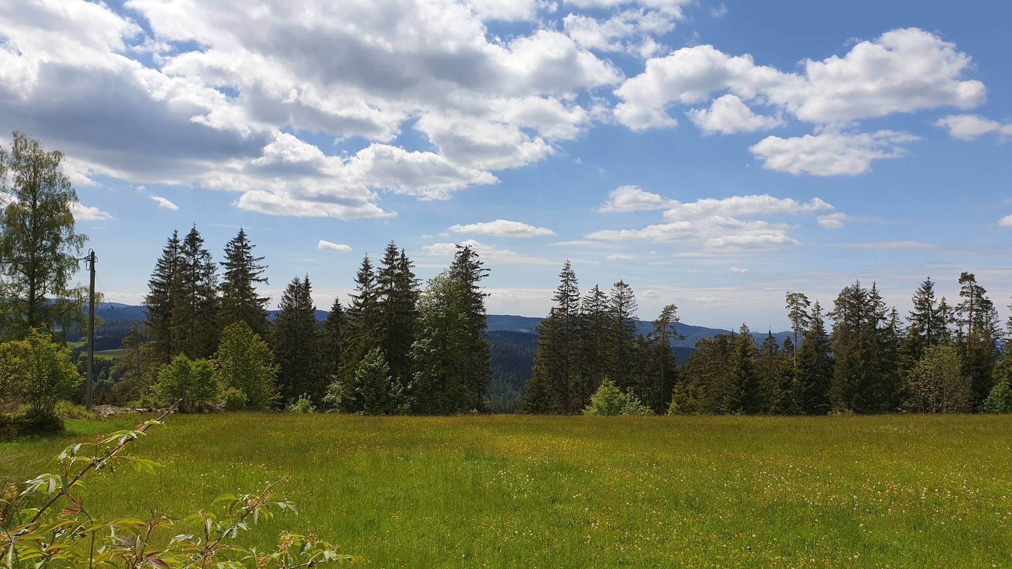
The Mittelweg of the Black Forest Association
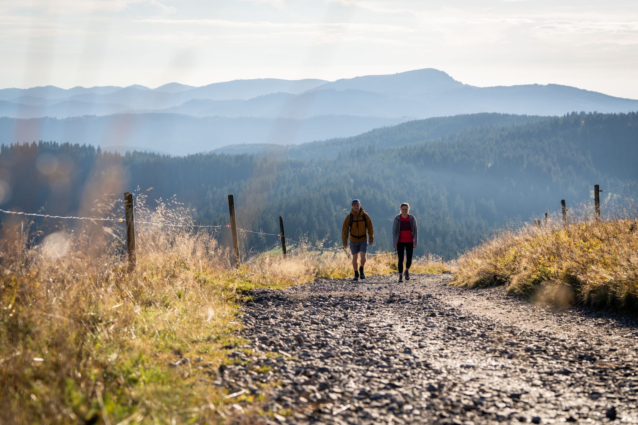
Premium hiking in the Black Forest
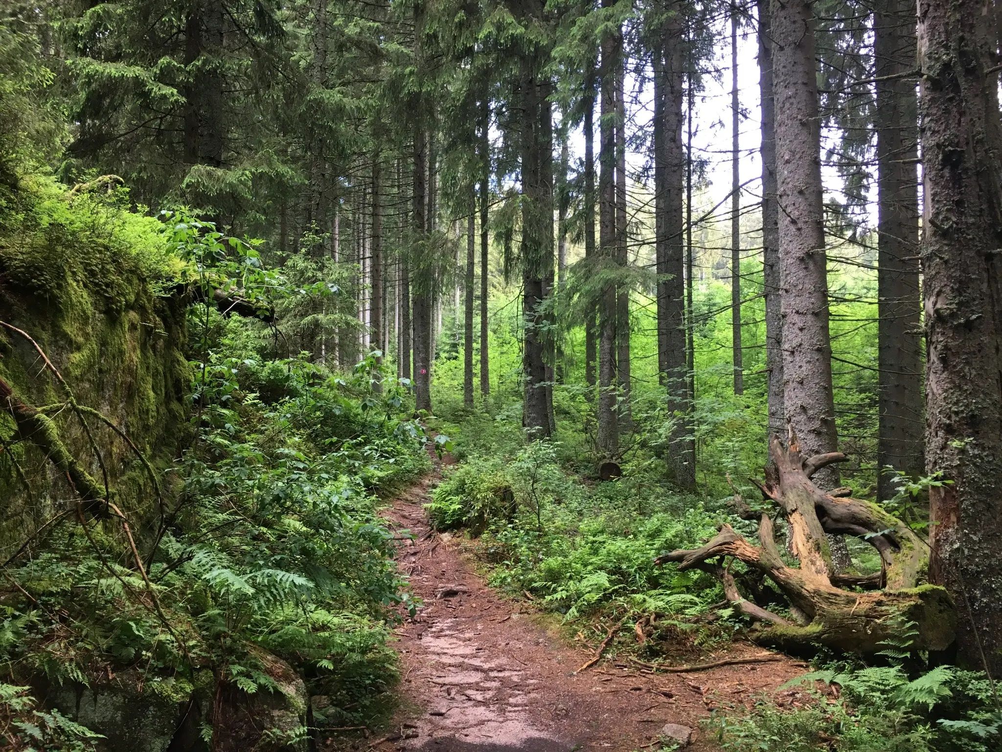
Hiking with a view – day trips in the Hochschwarzwald
Other adventures around Grafenhausen


Tips from the Community

Impressive tree giant - definitely reachable by road bike too, the forest road there is very finely gravelled (05/2026), best approached from Grafenhausen via the sports field.
0
0

Alpine panorama from Allgäu to the Bernese Oberland
0
0

simply a circular route highly recommended
0
0
It is definitely worth spending the night at the tent camp
0
0
All that's missing here are fairy tale characters, then the view would be perfect
0
0

The bright red viewing platform, featuring a stele, invites you to linger with its seating and small tables. On a clear day, you can see the Alps. Looking through the viscoelastic lens, you can see the names of the peaks.
0
0


We tried it. You can even hear and feel the vibration when you walk along the trunk. You don't have to put your ear to the other end of the trunk; the tapping will still be audible. Try placing the flat of your hand on the end and gently tapping the other end. It's amazing how this is transmitted. Nature is fascinating.
0
0
Frequently Asked Questions
How many easy hiking trails can I find around Grafenhausen?
Grafenhausen offers a wide selection of easy hiking trails, with over 50 routes available. These trails are perfect for exploring the Southern Black Forest's dense forests, rolling hills, and picturesque valleys at a relaxed pace.
What makes Grafenhausen a good destination for easy hiking?
Grafenhausen is situated on a sunny high plateau in the Southern Black Forest, providing diverse landscapes and notable natural features like the Schluchsee and Schlüchtsee lakes. The region is characterized by accessible paths and nature discovery trails, making it ideal for easy hikes suitable for various fitness levels.
Are there any easy trails suitable for families with children?
Yes, Grafenhausen is very family-friendly. The Schlühüwanapark – nature discovery trail is an excellent option, offering an accessible path and engaging experience for all skill levels. The circular trail around Schluchsee is also mostly flat and features bathing spots and playgrounds.
Can I bring my dog on the easy hiking trails in Grafenhausen?
Many easy hiking trails in Grafenhausen are dog-friendly, allowing you to enjoy the beautiful Black Forest scenery with your canine companion. Always ensure your dog is on a leash and you clean up after them to preserve the natural environment for everyone.
Are there any accessible or barrier-free hiking options in Grafenhausen?
Absolutely. The Genussweg is specifically designed as a barrier-free hiking option, catering to all fitness levels with easily accessible paths and gentle gradients, winding through the local landscape.
What kind of natural features or viewpoints can I expect on easy hikes?
Easy hikes in Grafenhausen often lead through dense forests and offer views of rolling hills and serene lakes like Schluchsee and Schlüchtsee. You might also encounter impressive natural features such as the Lotenbach Gorge or the Rötenbach Waterfall, providing picturesque scenery.
Which easy circular walks are recommended in Grafenhausen?
For an easy circular walk, consider the Schlühüwanapark – Daniel Fir loop from Brauerei Rothaus. This 4.1-mile trail leads through dense forests and past local landmarks, offering a pleasant experience in about 1 hour 46 minutes.
What is the best time of year for easy hiking in Grafenhausen?
The best seasons for hiking in Grafenhausen are spring and autumn. In spring, you can enjoy wildflowers and fresh greenery, while autumn transforms the dense forests into a vibrant spectacle of colors. Even winter offers serene snow-covered scenery for walks.
Are there easy trails that pass by lakes or water features?
Yes, several easy trails in Grafenhausen feature beautiful lakes and water features. The region is home to the large Schluchsee and the charming Schluchsee Pond, with trails along their banks. The path leading to Schlüchtsee also offers scenic views through the Schlüchttal valley.
Where can I find parking for easy hiking trails in Grafenhausen?
Parking is generally available at popular trailheads and attractions in Grafenhausen, such as near the Rothaus brewery or the Schlühüwanapark. Specific parking information can often be found on individual route pages or local tourism websites.
Are there any easy trails that offer a nature discovery experience?
The Schlühüwanapark – nature discovery trail in Grafenhausen is specifically designed for this, offering easy hikes and accessible paths suitable for all skill levels. It's a great way to engage with the local flora and fauna.
What do other hikers say about the easy trails in Grafenhausen?
The easy trails in Grafenhausen are highly rated by the komoot community, with an average score of 4.6 stars from over 9,000 reviews. Hikers often praise the well-maintained paths, the serene forest environments, and the accessibility for families and beginners.
Can I reach easy hiking trails in Grafenhausen using public transport?
Grafenhausen has public transport connections that can help you access various hiking areas. While some trailheads might require a short walk from a bus stop, the region is generally well-served, allowing for car-free exploration of many easy routes.
Are there any easy trails near the Rothaus brewery?
Yes, the Rothauserland area, home to the famous Rothaus brewery, offers varied circular hikes that blend nature and culture. An example is the Schlühüwanapark – Daniel Fir loop from Brauerei Rothaus, which leads through dense forests and provides opportunities for refreshments at the brewery inn.
Most popular routes around Grafenhausen
Most popular attractions around Grafenhausen

Get inspired with the komoot mobile app


Explore more
Browse the best Hikes in other regions.
