Easy hikes and walks in Naturpark Bayerischer Odenwald
4.6
(7105)
27,830
hikers
1,221
hikes
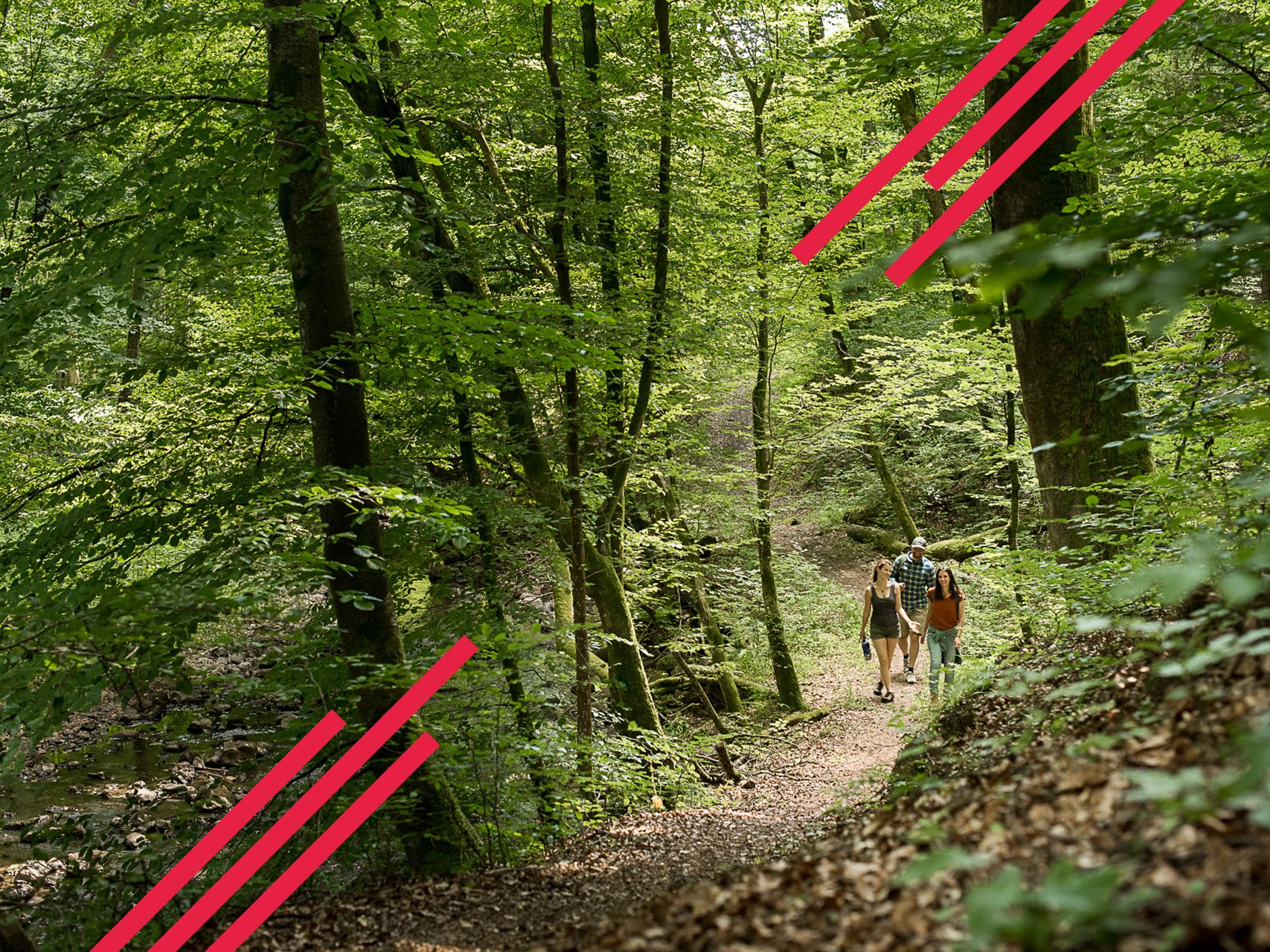
Easy hiking trails in Naturpark Bayerischer Odenwald traverse a landscape characterized by rolling hills and dense forests. The region features wild valleys, notable hills, and unique rock formations. This low mountain range offers varied terrain suitable for easy walks, with elevations generally under 200 meters.
Best easy hiking trails in Naturpark Bayerischer Odenwald
- The most popular easy hiking route is Miltenberg Old Town – Miltenberg Castle Gate loop from Miltenberg, a 4.1 miles (6.6 km) trail that takes about…
Last updated: July 1, 2026
4.7
(62)
298
hikers
6.57km
01:52
150m
150m
Easy hike. Great for any fitness level. Easily-accessible paths. Suitable for all skill levels.
4.8
(42)
165
hikers
Easy hike. Great for any fitness level. Easily-accessible paths. Suitable for all skill levels.

Sign up for free
4.7
(82)
303
hikers
5.35km
01:37
170m
170m
Easy hike. Great for any fitness level. Easily-accessible paths. Suitable for all skill levels.
4.9
(46)
172
hikers
Easy hike. Great for any fitness level. Easily-accessible paths. Suitable for all skill levels.
4.8
(43)
171
hikers
Easy hike. Great for any fitness level. Easily-accessible paths. Suitable for all skill levels.
Get access to more routes and recommendations from other explorers.
Sign up for free
Already have an account?
Our route recommendations are based on thousands of hikes, rides, and runs completed by other people on komoot.
Start today with a free account
Your next adventure awaits.
Login or Signup
Popular around Naturpark Bayerischer Odenwald
Franconian Red Wine Trail — From vineyards to the Main River
The Nibelungensteig in 7 stages – Simply legendary!
Relaxed hiking in the Spessart – short trails of discovery
Give me four! - The Four-Country-Way
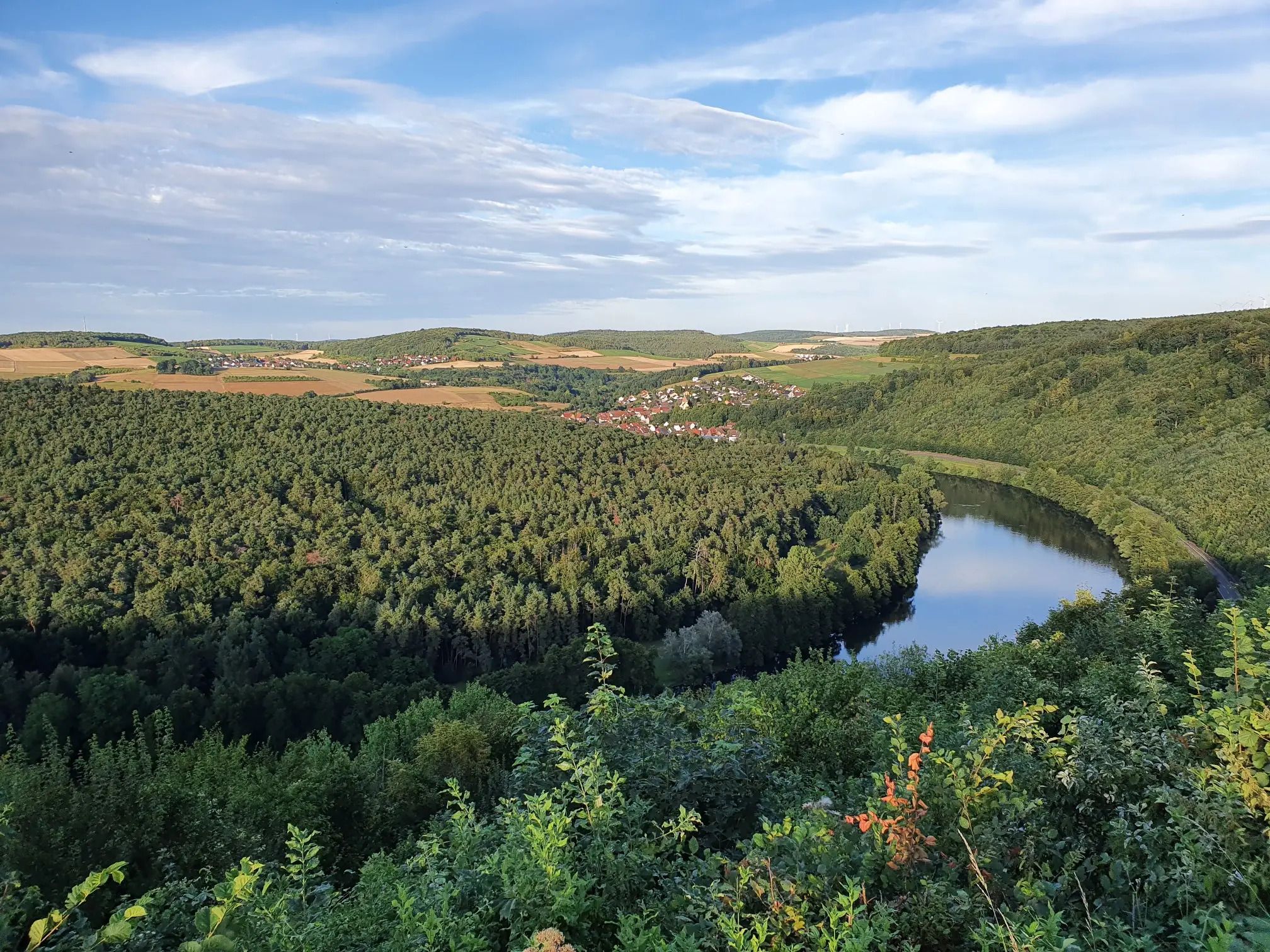
Jakobswanderweg Odenwald-Main-Taubertal
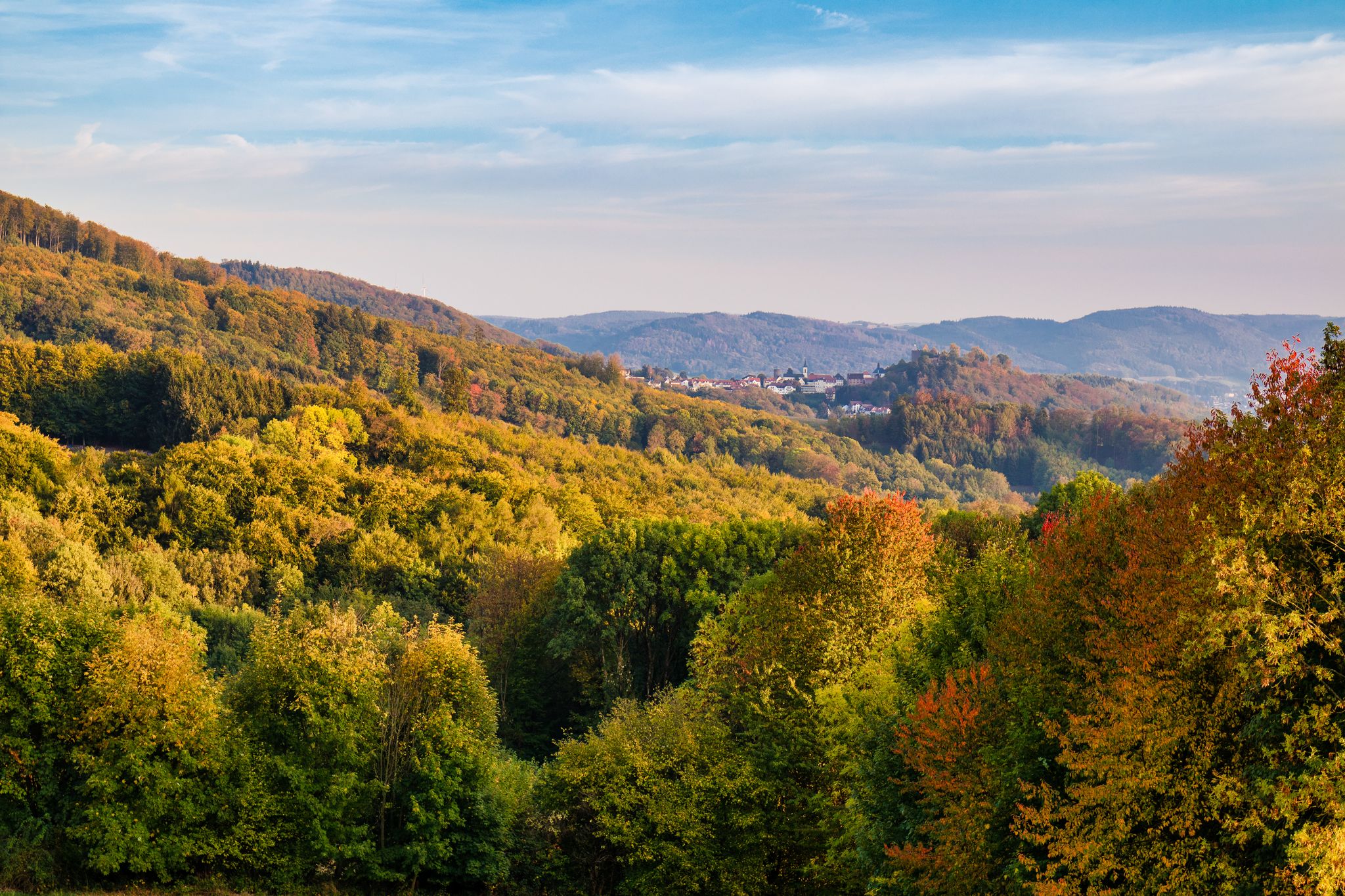
Wine, views, and world heritage – hiking in the Odenwald on the Bergstraße
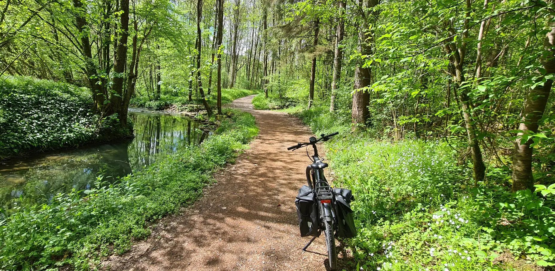
Germany's Main-Tauber-Franconian Radachter – two loops, one experience

German Limes Cycle Path – Riding from the Rhine to the Danube

Beautiful day Tours along the Tauber, Kocher, Jagst and Neckar rivers
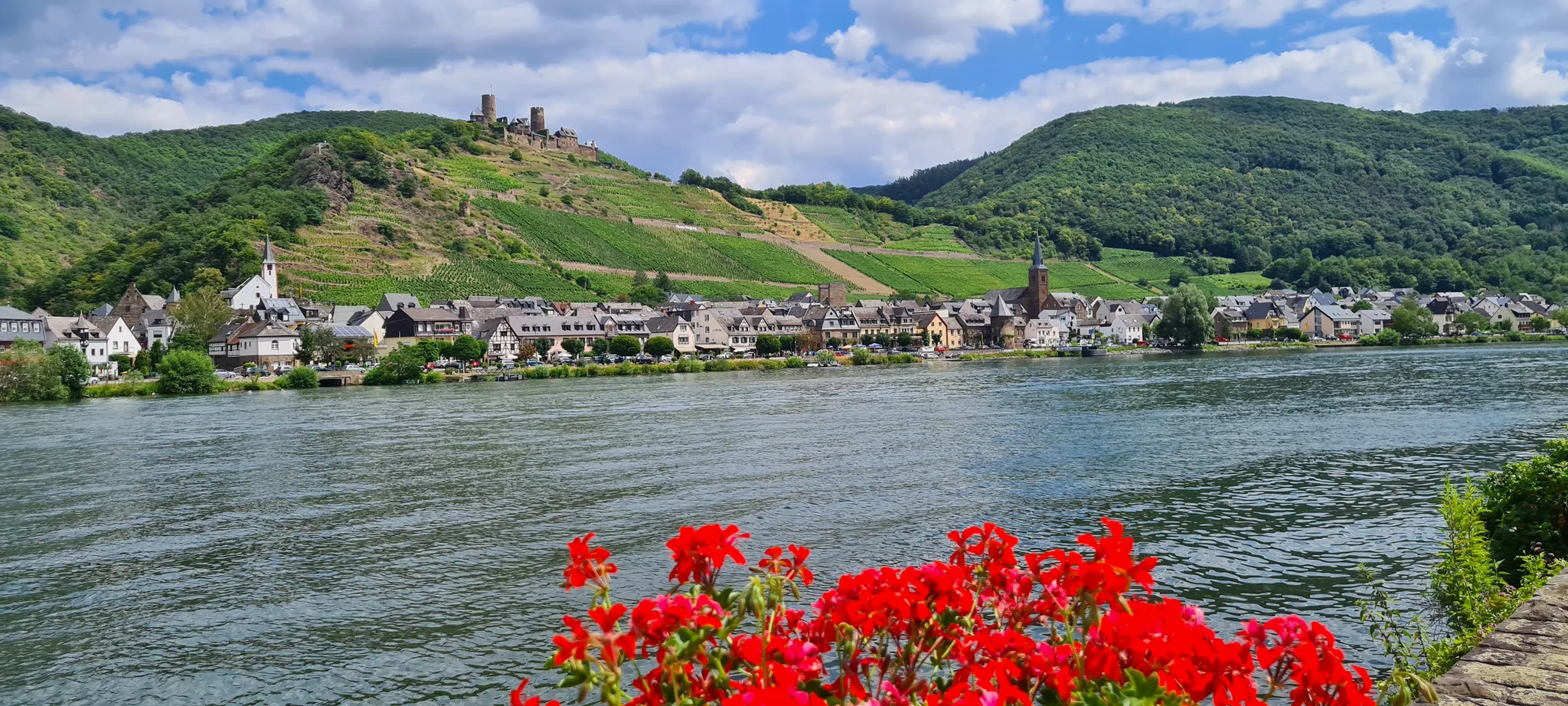
D-Route 5: Saar-Moselle-Main
Other adventures in Naturpark Bayerischer Odenwald


Tips from the Community

The first section of the path from the parking lot to the Smartpfad is difficult to find and poorly passable. The path is practically overgrown with nettles and brambles. Finding the path is very often a guessing game. The second part is marked with Do2, but these are difficult to find in the direction of Wildenburg. The path is also practically overgrown with nettles and brambles. All in all, not necessarily recommended.
0
0

very sporty climb....doable with a short break halfway up
0
0


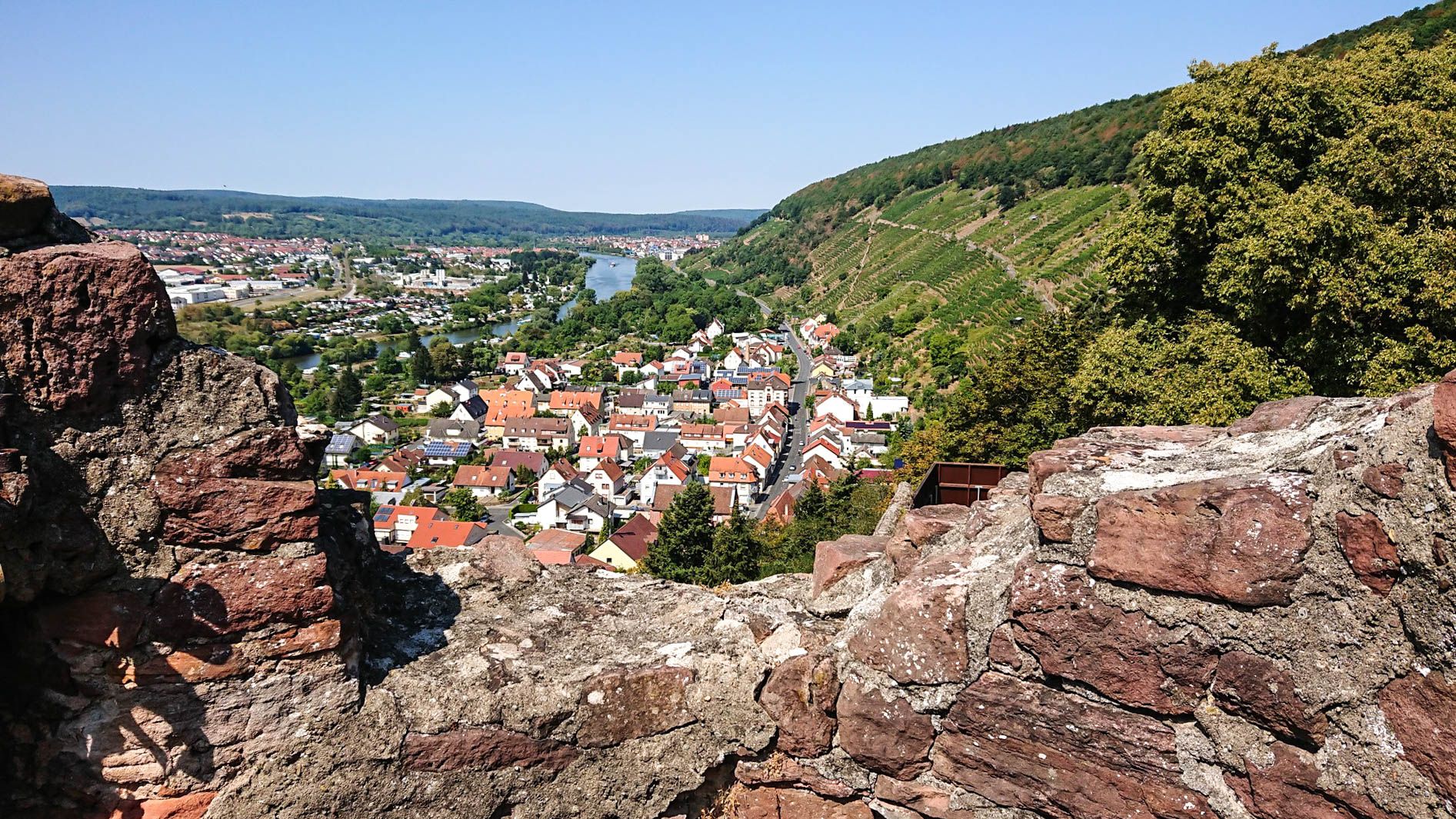
One of the few places from which you can see the old town of Miltenberg from above.
1
0

Always worth a visit.
0
0

A visit to the Faust brewery is a must during a stroll through the city.
0
0
One of many highlights in Miltenberg.
1
0

Take a seat and learn something interesting.
0
0
Frequently Asked Questions
How many easy hiking trails are available in Naturpark Bayerischer Odenwald?
Naturpark Bayerischer Odenwald offers an extensive network of trails, with over 630 easy hiking routes available. This ensures a wide variety of options for all skill levels, focusing on gentle terrain.
What kind of terrain can I expect on easy hikes in Naturpark Bayerischer Odenwald?
Easy hikes in Naturpark Bayerischer Odenwald feature rolling hills and dense, idyllic forests. You'll find varied terrain with gentle ascents and descents, typically under 200 meters of elevation gain, making for engaging yet manageable walks through picturesque landscapes and wild, romantic valleys.
Are there family-friendly easy hikes in Naturpark Bayerischer Odenwald?
Yes, the region is well-suited for family outings. Many easy trails are designed to be accessible for all ages, traversing charming orchards and tranquil forests. The extensive network ensures you can find paths perfect for a leisurely family stroll.
Can I bring my dog on easy trails in Naturpark Bayerischer Odenwald?
Naturpark Bayerischer Odenwald is generally dog-friendly, with many trails welcoming well-behaved dogs on a leash. The varied landscapes of forests and valleys provide ample opportunities for you and your canine companion to enjoy the outdoors together. Always check local signage for specific restrictions in certain areas.
Are there easy circular hiking routes in Naturpark Bayerischer Odenwald?
Yes, the Odenwaldklub has developed and marked numerous quality circular hiking trails. These routes are designed to bring you back to your starting point, offering convenient and enjoyable loops. An example is the View of Brunntalhof – Laudenbach Valley loop from Naturpark Bayerischer Odenwald, which is an easy 3.6 km path.
What are some interesting landmarks or viewpoints I can see on easy hikes?
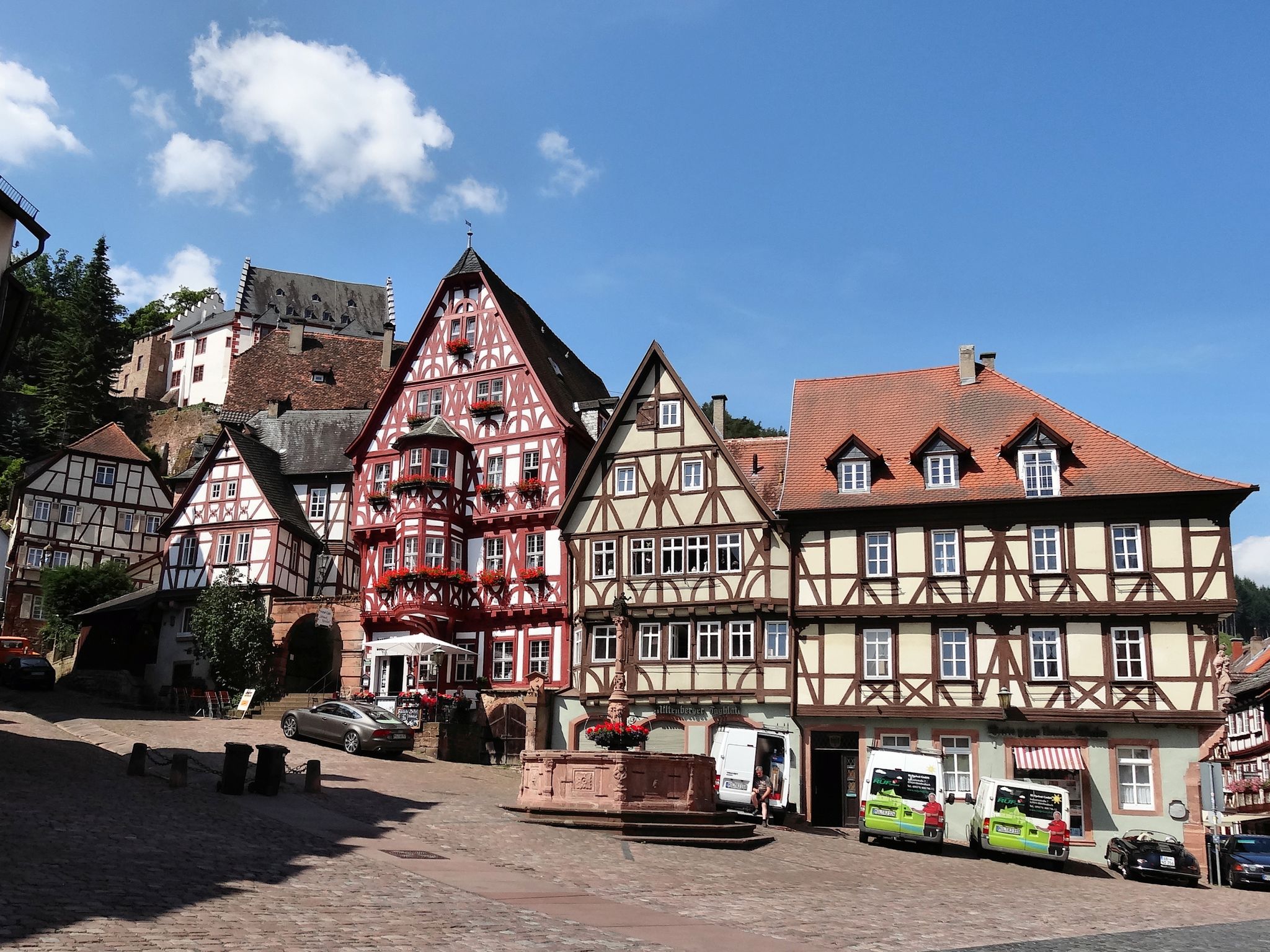
You can discover several notable landmarks and viewpoints. The Miltenberg Old Town and Main Riverside Promenade offers historic charm. For panoramic views, the Gotthard provides expansive vistas of up to seven valleys. The Buchenkopf, the highest point in Wenigumstadt, also features a 'summit cross' with views towards the Hessian border.
Are there any easy hikes that feature unique natural formations or valleys?
Absolutely. The region is known for its wild and romantic valleys, such as the Laudenbach Valley and Breitenbrunn Valley. You can also explore unique geological features like the mysterious Heunensäulen near Miltenberg, which blend natural beauty with ancient history.
What do other hikers say about the easy trails in Naturpark Bayerischer Odenwald?
The easy trails in Naturpark Bayerischer Odenwald are highly rated by the komoot community, with an average score of 4.6 stars from over 6,300 reviews. Hikers often praise the tranquil environment, well-maintained paths, and the diverse blend of forests, valleys, and cultural sites.
When is the best time of year to go on easy hikes in Naturpark Bayerischer Odenwald?
The Naturpark Bayerischer Odenwald is beautiful year-round. Spring brings blooming orchards and fresh greenery, while autumn offers stunning foliage. Summer provides pleasant temperatures for forest walks, and even winter can be charming with snow-dusted landscapes, though some paths might be slippery. Most easy trails are accessible in all seasons.
Are there options for parking near easy hiking trails?
Yes, many easy hiking trails in Naturpark Bayerischer Odenwald have designated parking areas at their starting points. For example, the Wildenburg Parking Lot – Wildenberg Castle Ruins loop from Burg Wildenberg starts directly from a parking area, making access convenient for hikers.
Can I find cafes or places to eat near easy hiking trails?
Yes, the region's charming villages often have cafes and traditional inns where you can enjoy refreshments. Many trails pass through or near these settlements, providing opportunities for a break and a meal. For instance, routes around Miltenberg Old Town offer various dining options.
Are there any historical sites accessible on easy hikes?
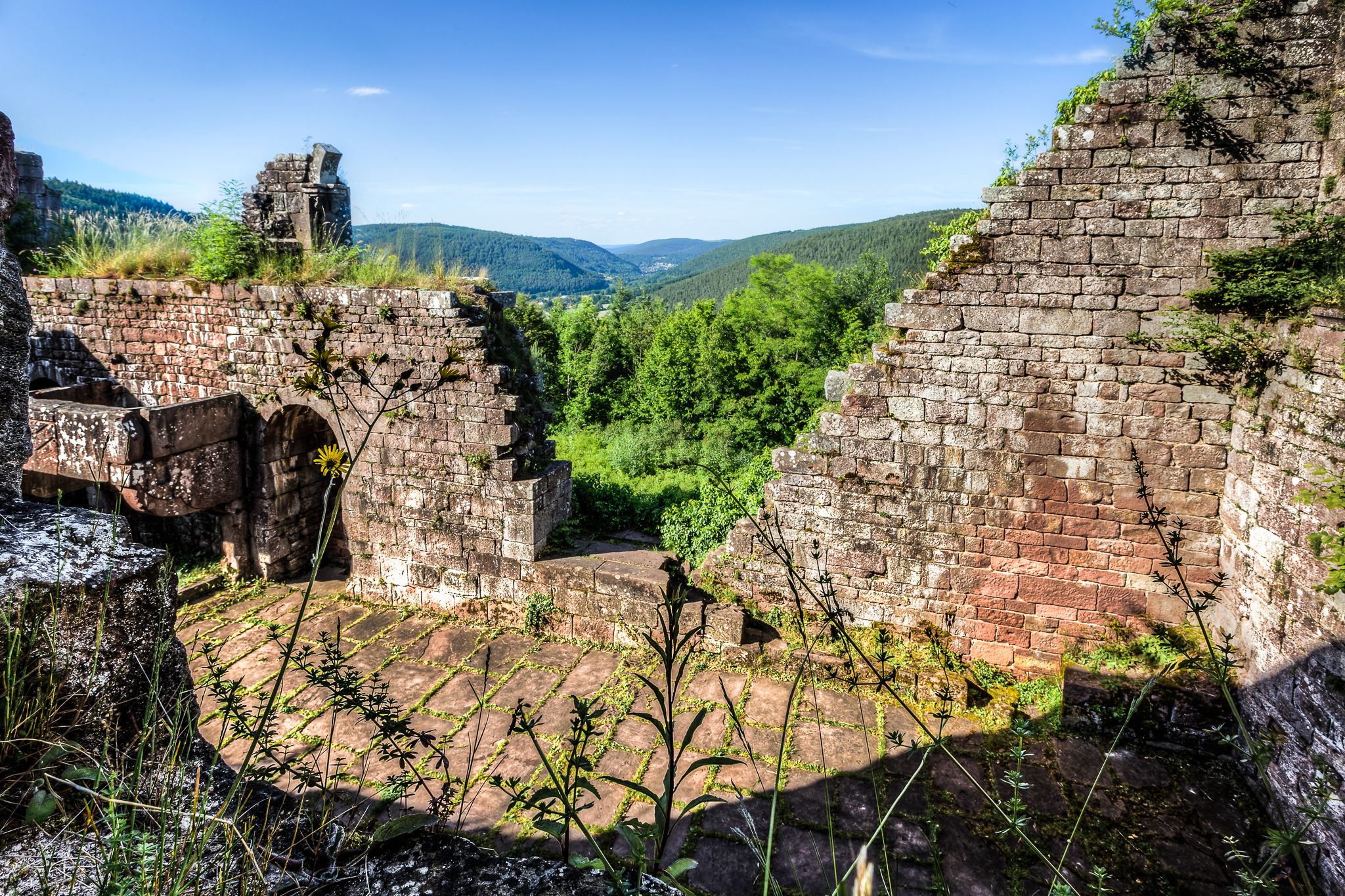
The Odenwald is rich in cultural-historical relics. Easy hikes can lead you to sites like the romantic Wildenburg castle ruins, which offer splendid views, or the Gotthard Ruin and Gotthard Tower Viewpoint, standing on a hill with a history dating back to an 8th-century castle. The Greinberg Summit also hosts a Celtic Ring Fort.
Most popular routes in Naturpark Bayerischer Odenwald
Most popular attractions in Naturpark Bayerischer Odenwald

Get inspired with the komoot mobile app


Explore more
Browse the best Hikes in other regions.
