Easy hikes and walks in Naturpark Rheinland
4.5
(33367)
144,780
hikers
5,131
hikes
Easy hiking trails in Naturpark Rheinland offer diverse landscapes for outdoor activities. The region, spanning over 1,000 square kilometers, features a blend of forests, rivers, lakes, and rolling hills. Notable natural features include the "Ville-Seen-Platte" with over 40 lakes, many originating from former coal mining, and extensive forest areas. The park also encompasses agricultural lands and, in its southern parts, a significant fruit-growing region.
Best easy hiking trails in Naturpark Rheinland
- The most popular easy hiking route is Naturpark Rheinland…
Last updated: August 24, 2026
4.1
(64)
216
hikers
Easy hike. Great for any fitness level. Easily-accessible paths. Suitable for all skill levels.
4.7
(524)
2,357
hikers
5.85km
01:31
40m
40m
Easy hike. Great for any fitness level. Easily-accessible paths. Suitable for all skill levels.

Sign up for free
3.6
(9)
56
hikers
3.19km
00:53
60m
60m
Easy hike. Great for any fitness level. Easily-accessible paths. Suitable for all skill levels.
4.5
(343)
1,373
hikers
6.04km
01:34
40m
40m
Easy hike. Great for any fitness level. Easily-accessible paths. Suitable for all skill levels.
4.7
(235)
827
hikers
Easy hike. Great for any fitness level. Easily-accessible paths. Suitable for all skill levels.
Get access to more routes and recommendations from other explorers.
Sign up for free
Already have an account?
Our route recommendations are based on thousands of hikes, rides, and runs completed by other people on komoot.
Start today with a free account
Your next adventure awaits.
Login or Signup
Popular around Naturpark Rheinland
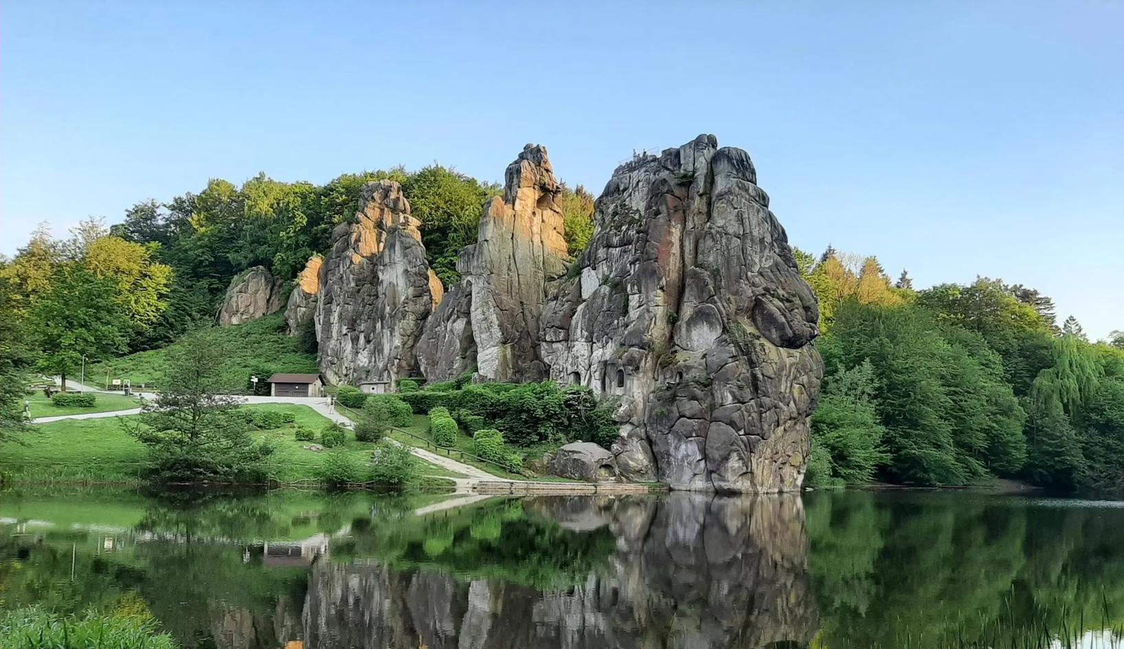
The National Natural Landscapes in Nordrhein-Westfalen
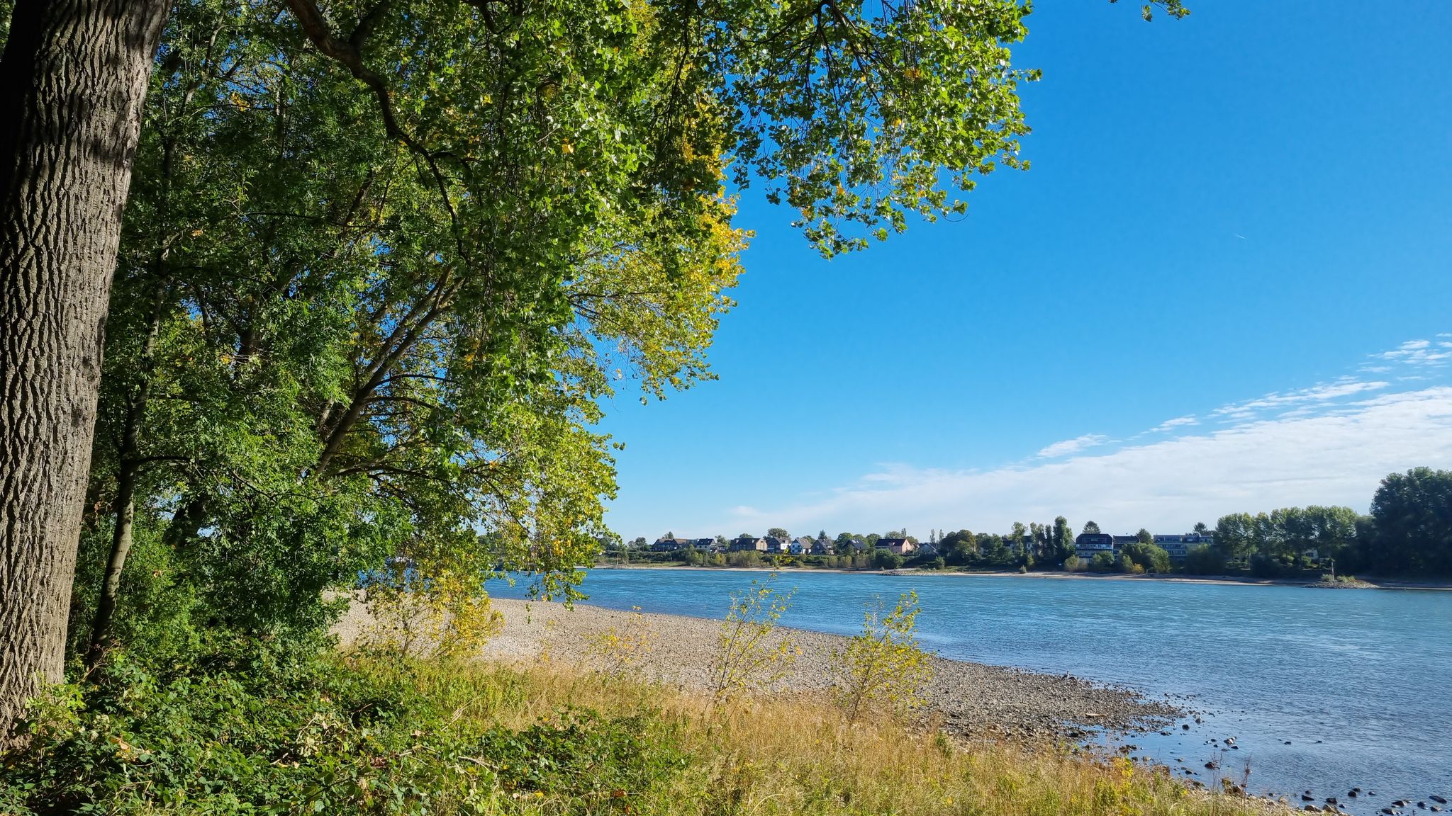
Family-friendly hikes in the south of Cologne
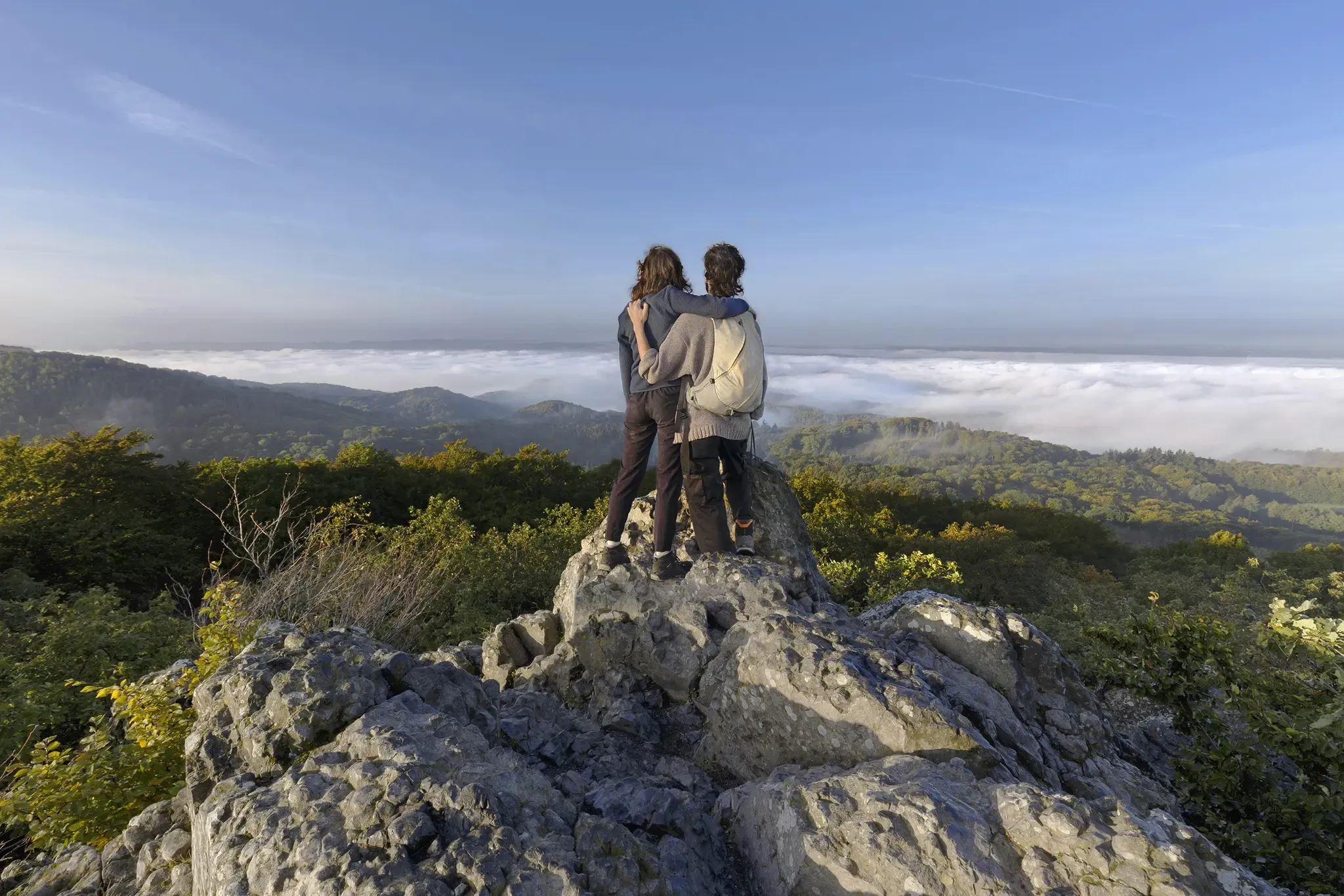
I'm getting outside! – eight adventurous hikes on the Rhine and Sieg
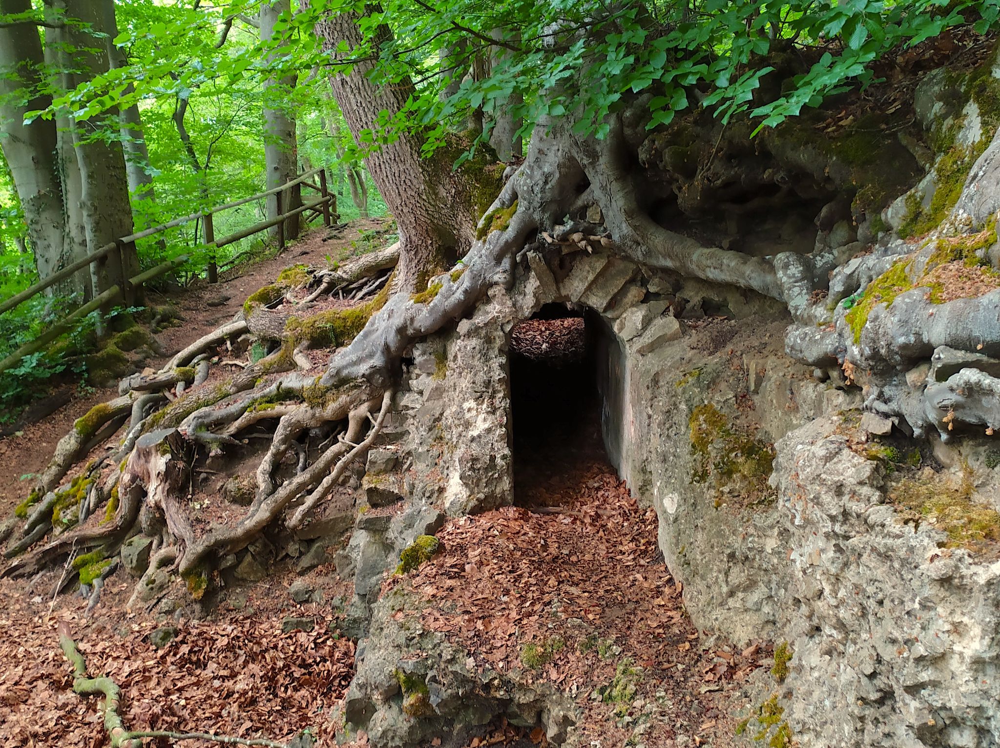
Hike from Cologne to the Eifel – Roman Canal Trail
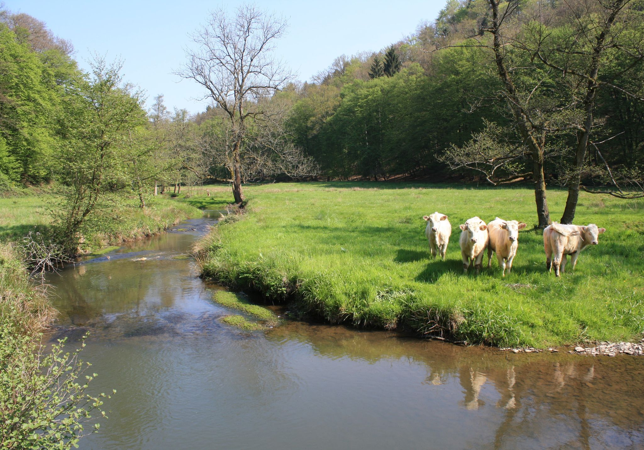
Nature and culture in beautiful landscapes – hikes on the Rhine and Sieg
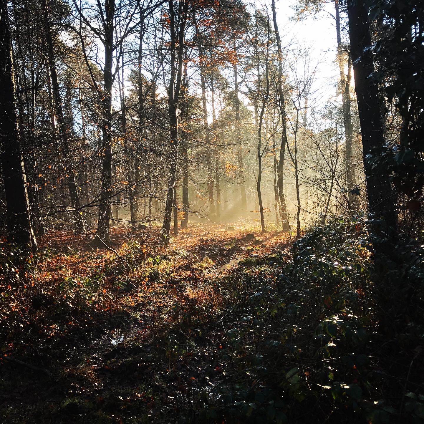
Naturpark Rheinland - Our most beautiful hiking trails
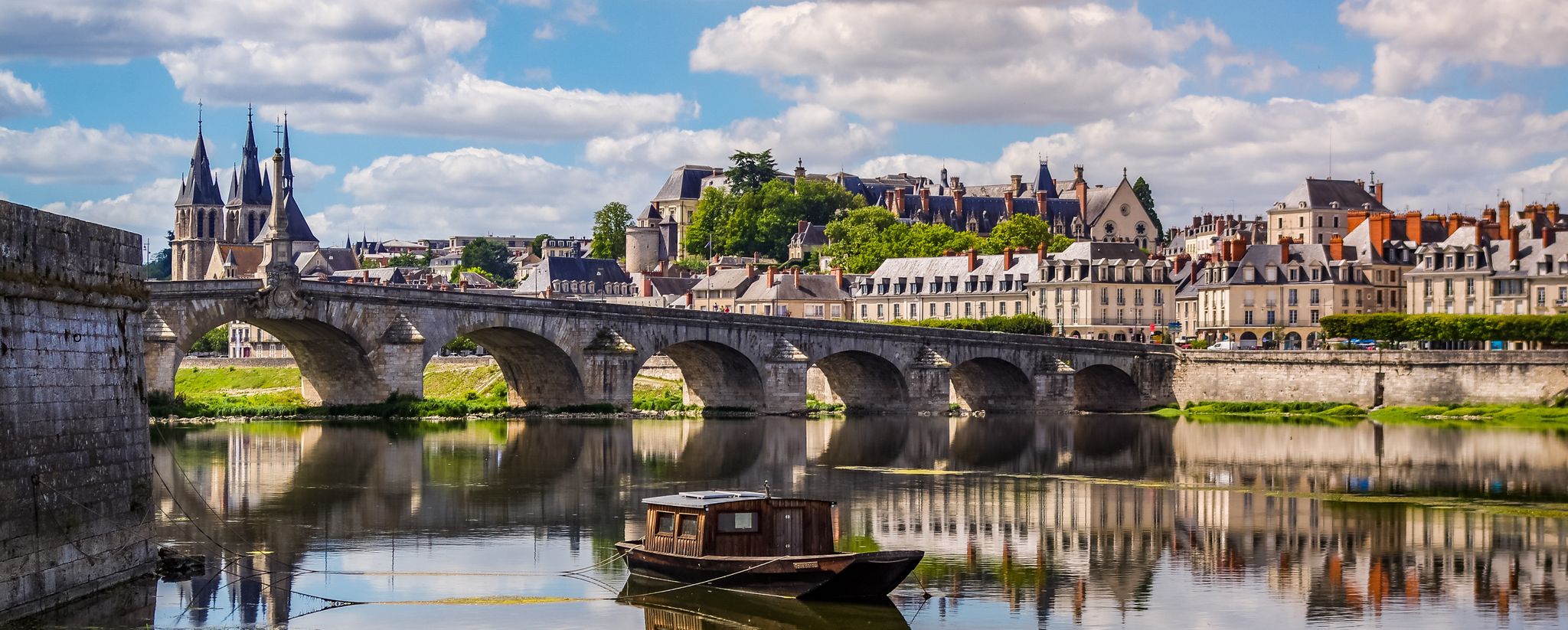
EuroVelo 3 – A cycling pilgrimage from Norway to France
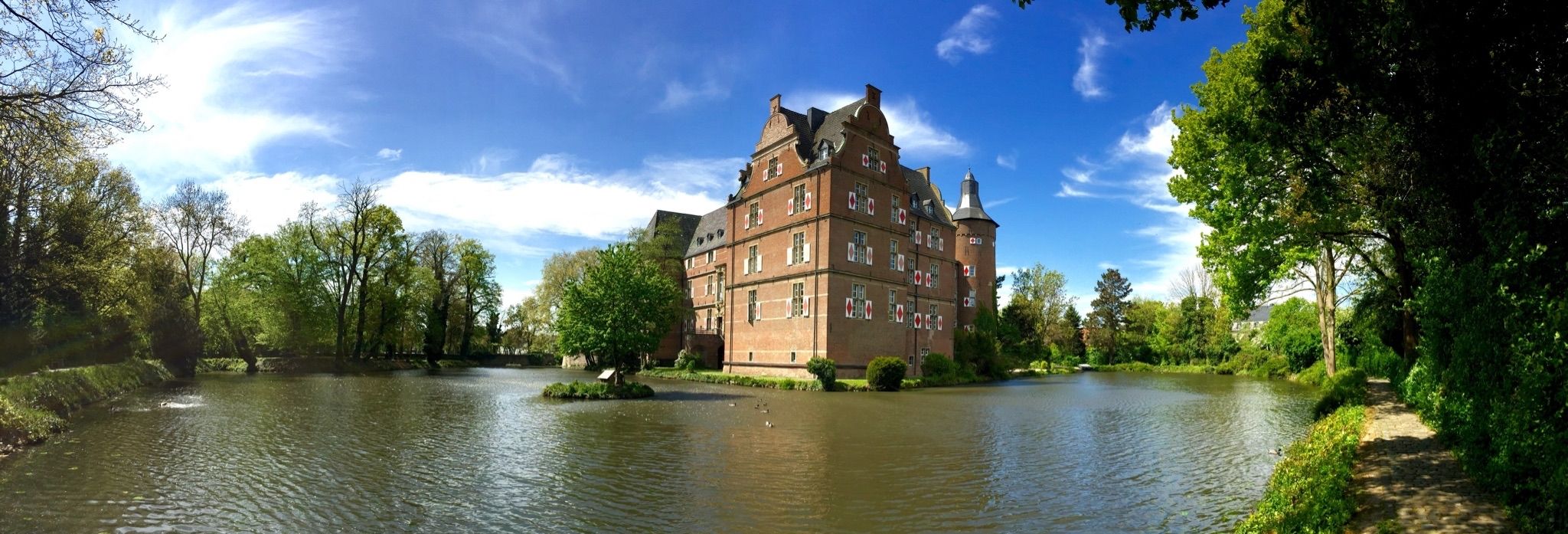
Wasserburgen-Route — A ride through Germany's Castle Country from the Rhine to the Eifel and back
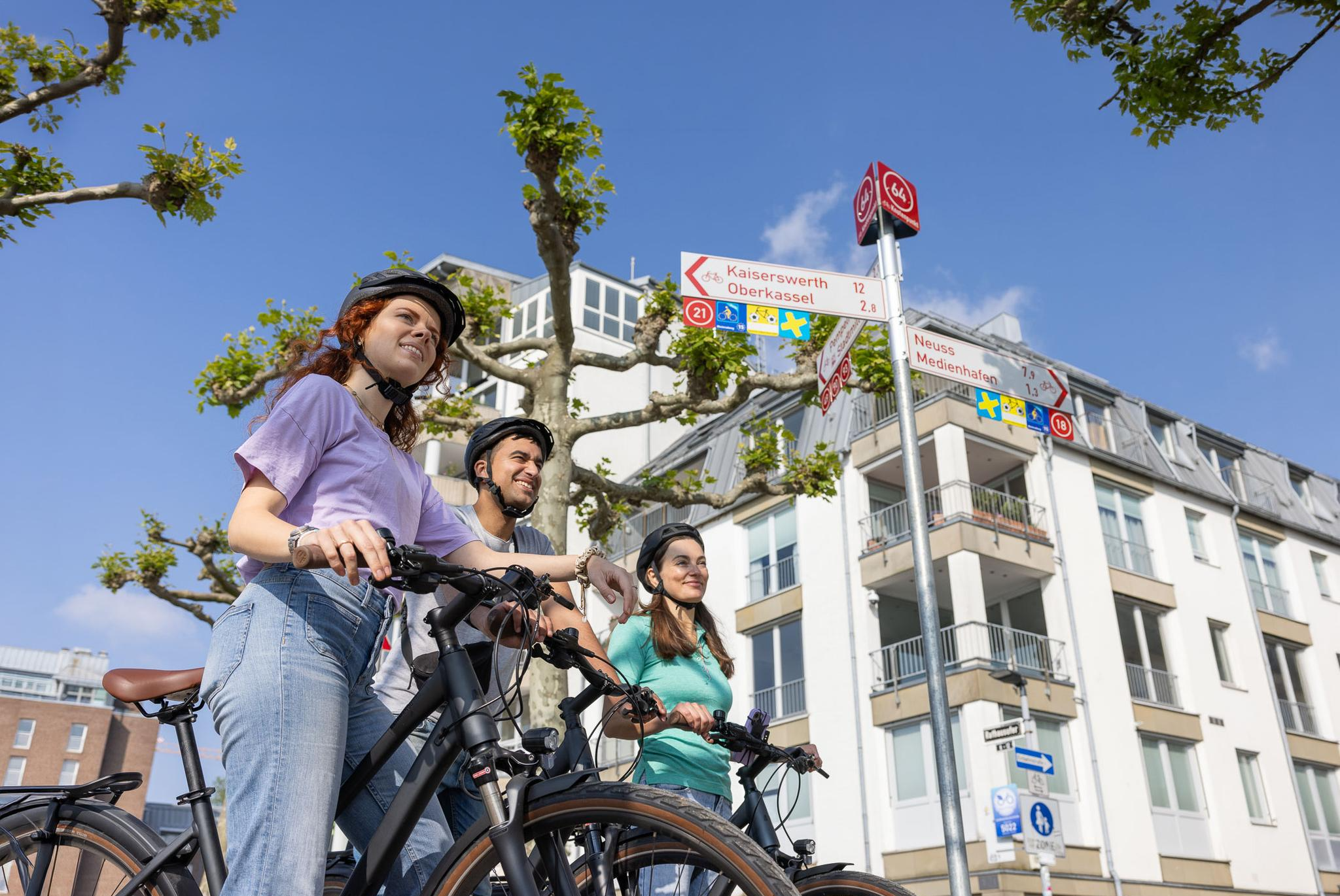
Cycling by Numbers – flexible rides in the Radregion Rheinland
Getting into nature by bus, train and bike in the Cologne Bonn Region
Other adventures in Naturpark Rheinland


Tips from the Community


One of many beautiful lakes in the Ville.
1
0
Great path with a beautiful view
1
0

Very nice tour, you pass by some lakes that always invite you to take a break. You can walk the loop very leisurely as there are very few altitude meters.
0
0

The TIRA space surveillance radar primarily serves as an experimental carrier for the development and investigation of radar methods for the detection and reconnaissance of objects in space. TIRA is also in demand for supporting space missions: Space agencies from all over the world draw on the special capabilities of the Fraunhofer scientists and their facility. The radar is protected by a radome (white shell). The radome has a diameter of 47.5 meters, making it the largest in the world. The building is approximately 56 meters high in total and can be seen as a white "sphere" from a great distance. Inside, there is an antenna with a diameter of 34 meters. It can be rotated 360° in azimuth (horizontal) and 90° in elevation (vertical). The movable part weighs 240 tons and can be rotated at a speed of 24° per second (in azimuth) or one revolution in 15 seconds. The TIRA system includes a tracking radar (Tracking) and an imaging radar (Imaging). The high-power, narrow-band, coherent tracking radar has a transmission frequency in the L-band (1.333 GHz), and the imaging radar has a transmission frequency in the Ku-band (16.7 GHz) and is equipped with high target-resolution bandwidth. ... FURTHER INFORMATION: https://www.fhr.fraunhofer.de/de/das-institut/technische-ausstattung/weltraumbeobachtungsradartira.html
1
0

Very beautiful lake with a nature reserve and good hiking trails.
2
0
There are benches everywhere to relax and look out over the lake. What I miss, as a dog walker, are trash cans, because no one walks around with a dog bag for long.
0
0

Cool lakes, small islands, water lily patches, and diverse fauna. And the numerous small bathing bays for families – fantastic!
1
0
Frequently Asked Questions
How many easy hiking trails are available in Naturpark Rheinland?
Naturpark Rheinland offers a vast network of trails. Specifically for easy hikes, you'll find over 3,600 routes, making it an ideal destination for relaxed outdoor activities.
What kind of landscapes can I expect on easy hikes in Naturpark Rheinland?
The park boasts diverse landscapes, including extensive forests, rivers, and rolling hills. A prominent feature is the "Ville-Seen-Platte," an area with over 40 lakes, many originating from former coal mining. You'll also encounter agricultural lands and picturesque villages, offering varied scenery on your easy walks.
Are there any notable natural features or landmarks to see on easy hikes?
Yes, Naturpark Rheinland is rich in natural and cultural highlights. You can explore many of the park's lakes, such as Obersee (Ville lake chain), Middle Lake, or Lake Liblar. The park also features historical sites like the Hunter's Hut in the Kotten Forest and Hardtburg Castle.
Are there easy circular hiking routes in Naturpark Rheinland?
Many easy trails in Naturpark Rheinland are designed as circular routes, perfect for a relaxed day out. For example, the Naturpark Rheinland | Huemerich-Runde is a popular circular trail with gentle elevation changes. Another great option is the Lake Liblar loop from Erftstadt, offering scenic lakeside views.
What is the best time of year for easy hikes in Naturpark Rheinland?
Naturpark Rheinland is enjoyable year-round. Spring brings blossoming orchards, while summer offers lush greenery around the lakes. Autumn provides beautiful fall foliage, and even winter can be pleasant for a crisp walk. The easy nature of the trails makes them accessible in most conditions.
Are the easy hiking trails in Naturpark Rheinland suitable for families with children?
Yes, the easy hiking trails in Naturpark Rheinland are generally very family-friendly. Many routes feature minimal elevation gain and pass by lakes or through forests, providing engaging environments for children. The Lakeside path at Zülpicher See is a great example, offering scenic views with an easy, flat path.
Are dogs allowed on the easy hiking trails in Naturpark Rheinland?
Most trails in Naturpark Rheinland are dog-friendly, allowing you to enjoy your easy hike with your canine companion. However, it's always recommended to keep dogs on a leash, especially in nature protection areas or near wildlife, and to respect local regulations.
Is parking available at the starting points of easy hikes?
Yes, many of the well-signposted hiking routes in Naturpark Rheinland have designated starting points with access to parking. This makes it convenient to begin your easy hike, whether you're exploring forest paths or lakeside loops.
Can I reach easy hiking trails in Naturpark Rheinland by public transport?
Naturpark Rheinland is well-connected, and many trailheads are accessible via public transportation, particularly from nearby cities like Cologne and Bonn. This allows for convenient access to various easy hiking routes without needing a car.
What do other hikers enjoy most about hiking in Naturpark Rheinland?
The area is highly rated by the komoot community, with an average score of 4.5 stars from over 28,500 reviews. Hikers often praise the varied terrain, the peaceful atmosphere of the forests and lakes, and the well-maintained, easy-to-follow paths that make for a relaxing outdoor experience.
Are there any easy hikes that pass by cafes or places to rest?
While specific cafes directly on every easy trail might vary, many routes pass through or near villages where you can find amenities. The park also has visitor centers, such as those at Gymnicher Mühle or Haus der Natur, which can offer resting spots and information. It's always a good idea to check the route details for specific refreshment points.
What is the typical distance and duration for an easy hike in Naturpark Rheinland?
Easy hikes in Naturpark Rheinland vary in length, but many popular options are between 3 to 7 kilometers (2 to 4.5 miles). These typically take around 1 to 2 hours to complete at a relaxed pace. For instance, the Naturpark Rheinland - Heinrich-Böll-Way is about 3.2 km and takes just over an hour.
Most popular routes in Naturpark Rheinland
Most popular attractions in Naturpark Rheinland

Get inspired with the komoot mobile app


Explore more
Browse the best Hikes in other regions.
