Easy hikes and walks in Fichtelberg
4.6
(8925)
33,697
hikers
37
hikes
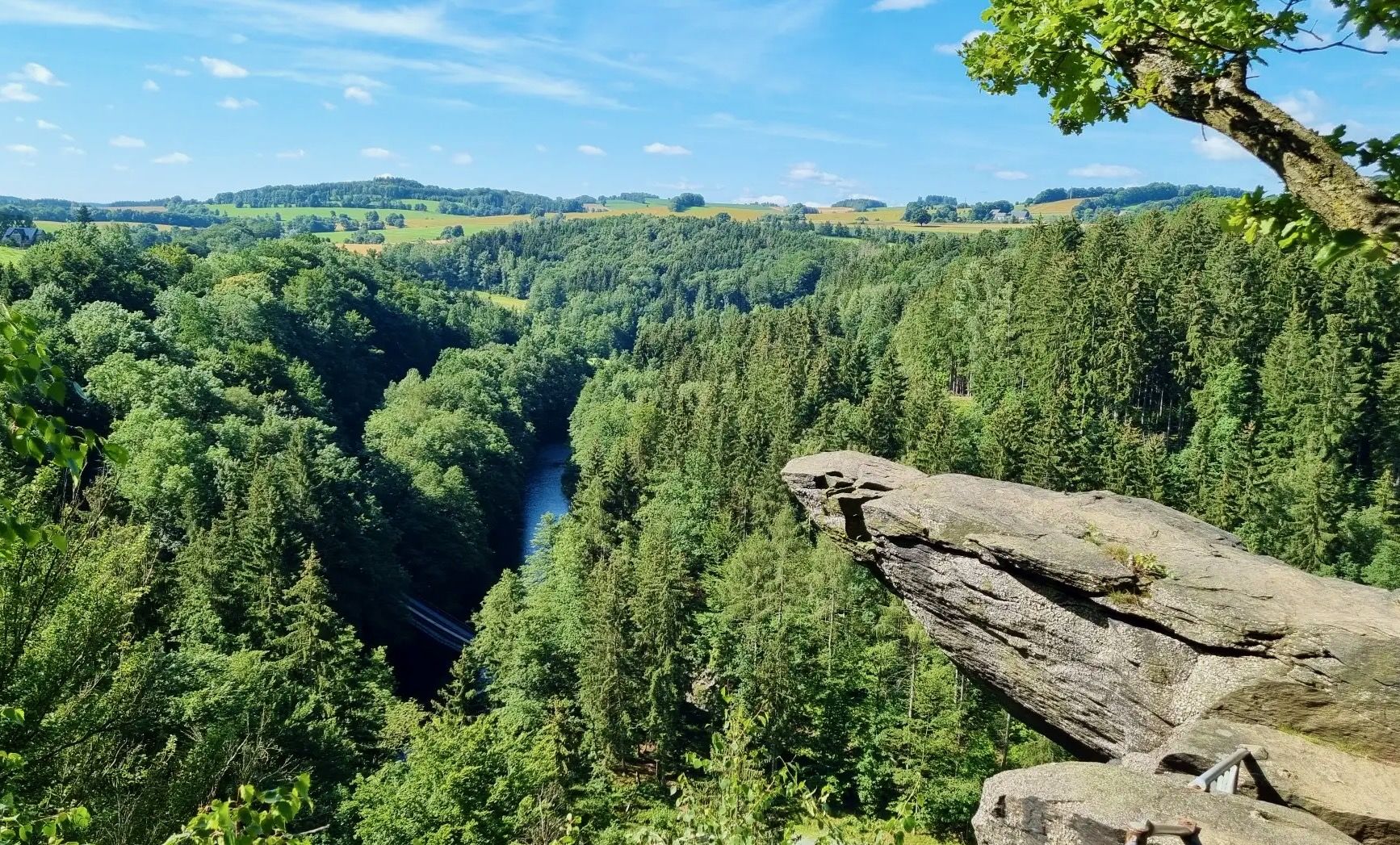
Easy hiking trails in Fichtelberg traverse a diverse landscape characterized by mountains, dense forests, and granite formations. The region is home to Fichtelberg, the highest mountain in Saxony, reaching over 1,200 meters above sea level. Extensive forests provide a network of paths, while the rocky terrain offers insights into the area's geological history.
Best easy hiking trails in Fichtelberg
- The most popular easy hiking route is Fichtelberg Peace Bell – View of Klínovec loop from Oberwiesenthal, a 3.2 miles…
Last updated: May 19, 2026
4.4
(61)
259
hikers
5.40km
01:31
110m
120m
Easy hike. Great for any fitness level. Easily-accessible paths. Suitable for all skill levels.
4.6
(9)
30
hikers
Easy hike. Great for any fitness level. Easily-accessible paths. Suitable for all skill levels.

Sign up for free
3.0
(2)
5
hikers
3.96km
01:08
100m
100m
Easy hike. Great for any fitness level. Easily-accessible paths. Suitable for all skill levels.
3.5
(2)
6
hikers
4.78km
01:24
140m
140m
Easy hike. Great for any fitness level. Easily-accessible paths. Suitable for all skill levels.
10
hikers
Easy hike. Great for any fitness level. Easily-accessible paths. Suitable for all skill levels.
Get access to more routes and recommendations from other explorers.
Sign up for free
Already have an account?
Our route recommendations are based on thousands of hikes, rides, and runs completed by other people on komoot.
Start today with a free account
Your next adventure awaits.
Login or Signup
Popular around Fichtelberg


Tips from the Community


At this location, seven municipalities in the Ore Mountains planted a circle of seven trees to mark the Czech Republic's accession to the EU (30 April/1 May 2004).
1
0

The Fichtelberg in the Ore Mountains, at 1,215 meters, is Saxony's highest mountain and a true highlight for nature and sports enthusiasts. From Oberwiesenthal – Germany's highest town – you can reach the summit via numerous hiking trails, or comfortably by the historic cable car or by car. At the top, an impressive panorama awaits you, stretching across the Ore Mountains and far into the Czech Republic. In summer, the Fichtelberg is an ideal starting point for hikes, mountain bike tours, and excursions into the adjacent nature park. In winter, it transforms into Saxony's largest ski resort with slopes, cross-country trails, and snowboard runs. A visit to the mountain restaurant with its panoramic terrace perfectly rounds off the trip.
7
0

Great view from the station.
0
0


The Fichtelberg is the second-highest peak in the Ore Mountains, after Klínovec (Keilberg, 1244 meters), just four kilometers away. At 1215 meters, it is the highest mountain in Saxony and was also the highest mountain in the GDR. A new summit cross has stood on the summit plateau since May 29, 2024. Erik Schulze, the deputy mayor of Oberwiesenthal, had promised to find a replacement for the old, already rather dilapidated cross that was swept away by hurricane "Fred" on November 5, 2023, with a gust of 106.6 kilometers per hour. He made the new summit cross himself from spruce wood. The crossbeam bears the words "1215 m" and "FICHTELBERG." The inscription on the old cross read "1215 ü M Fichtelberg" on the horizontal bar, and "Glück Auf Sachsen" on the vertical bar.
11
0
Nature served as the model for these wooden sculptures on the Fichtelberg summit. In addition to the bear and squirrel, there's also a fairytale character, the Frog Prince. The penguin warming a chick isn't exactly native to the area. However, at least in winter, it would certainly feel quite at home on the Fichtelberg.
16
0
The large peace bell on the Fichtelberg had to remain silent for six months in 2024. Stone throwing in May 2022 had so badly damaged the bell that its sound suffered. It was decided to stop ringing it and replace it with a new one. The old bell rang for the last time on Easter Monday 2024. Just in time for the mountain service on German Unity Day on October 3, the new bell was officially rung for the first time in the fall of 2024. The idea of using a peace bell to commemorate the peaceful revolution of 1989 in the GDR and German reunification in 1990 came from watchman Gerd Schlesinger and night watchman Jörg Eller from the Ore Mountains town of Schwarzenberg. The bell was also intended to be heard in neighboring Czechia and thus ring for a united Europe. The cast steel bell, already ninety years old at the time, was rung for the first time in 2010. The new bell was cast in Innsbruck by the Grassmayr company. At 2,700 kilograms, it is about 1,100 kilograms heavier than the old bell.
17
1
Frequently Asked Questions
How many easy hiking trails are available in Fichtelberg?
Fichtelberg offers a good selection of easy hiking trails, with 15 routes specifically categorized as easy. In total, there are 48 hiking routes available in the region, catering to various difficulty levels.
What kind of landscape can I expect on easy hikes in Fichtelberg?
Easy hikes in Fichtelberg traverse a diverse landscape featuring mountains, dense forests, and unique granite formations. You'll find picturesque views, especially from higher points like Fichtelberg itself, which is the highest mountain in Saxony. The region is also known for its extensive forests and rocky terrain, hinting at its geological and mining history.
What do other hikers say about the easy trails in Fichtelberg?
The easy hiking trails in Fichtelberg are highly regarded by the komoot community, with an average rating of 4.5 stars from over 600 reviews. Hikers often praise the well-maintained paths, the tranquil forest environments, and the scenic viewpoints that offer expansive vistas of the surrounding Ore Mountains.
What is the best time of year for easy hiking in Fichtelberg?
Spring and autumn are generally considered the ideal seasons for hiking in Fichtelberg. The climate is mild, and the landscapes are particularly vibrant, with blooming flora in spring and colorful foliage in autumn. These seasons offer comfortable temperatures for exploring the trails.
Are there any notable landmarks or viewpoints on the easy hiking trails?
Yes, several easy routes feature significant landmarks and viewpoints. For instance, the Fichtelberg Peace Bell – View of Klínovec loop from Oberwiesenthal passes by the Fichtelberg Peace Bell and offers views towards Klínovec. Another route, the Fichtelberg Weather Station – Fichtelberg Peace Bell loop from Oberwiesenthal, includes the Fichtelberg Weather Station. You can also find viewpoints like the View from the viewing platform.
Can I find easy circular hiking routes in Fichtelberg?
Yes, Fichtelberg offers several easy circular hiking routes. Popular options include the Fichtelberg Peace Bell – View of Klínovec loop from Oberwiesenthal, the Fichtelberg Weather Station – Fichtelberg Peace Bell loop from Oberwiesenthal, and the Fichtelberg Peace Bell – Fichtelberghaus loop from Oberwiesenthal. These routes allow you to start and end in the same location, making them convenient for day trips.
Are there any natural reserves or unique geological features to explore on easy hikes?
The Fichtelberg region is rich in natural features. You can explore areas like the Zechengrund nature reserve, which showcases the region's unique ecology. The broader Fichtel Mountains are known for striking granite formations, including massive rock blocks and labyrinths, which are remnants of the area's significant geological history.
Are the easy hiking trails in Fichtelberg suitable for families with children?
Yes, many easy hiking trails in Fichtelberg are well-suited for families. The region's diverse terrain and well-marked paths provide a safe and enjoyable environment for children. The Fichtelberg-Rundweg, for example, is specifically mentioned as a child-friendly option, allowing families to explore nature together.
Are there any dog-friendly easy hiking trails in Fichtelberg?
The Fichtelberg region generally welcomes dogs on its hiking trails. The extensive network of paths through forests and open landscapes provides ample opportunities for walks with your canine companion. Always ensure your dog is on a leash where required and respect local wildlife and other hikers.
Are there places to eat or rest along the easy hiking routes?
Yes, you can find amenities along or near some easy hiking routes. For example, the Fichtelberg Peace Bell – Fichtelberghaus loop from Oberwiesenthal passes by the Fichtelberghaus, which offers refreshments. Other options include Hotel Sachsenbaude and the Fox farm hut, providing places to rest and refuel.
What are the typical distances and durations for easy hikes in Fichtelberg?
Easy hikes in Fichtelberg typically range from 3 to 6 kilometers (approximately 2 to 4 miles) in distance. The duration for these routes usually falls between 1 hour 20 minutes and 2 hours, depending on your pace and the specific trail. For example, the Fichtelberg Peace Bell – View of Klínovec loop from Oberwiesenthal is 5.1 km and takes about 1 hour 26 minutes.
Is parking available near the easy hiking trails in Fichtelberg?
Yes, parking is generally available in key starting points for hiking trails, particularly in and around Oberwiesenthal, which is a common base for many Fichtelberg routes. It's advisable to check specific trailheads for designated parking areas before your visit.
Can I access the easy hiking trails in Fichtelberg using public transport?
Public transport options are available to reach the Fichtelberg area, particularly to towns like Oberwiesenthal. From there, many easy hiking trails are accessible on foot. For specific routes, it's recommended to check local bus schedules or train connections to plan your journey effectively.
Most popular routes in Fichtelberg
Most popular attractions in Fichtelberg

Get inspired with the komoot mobile app


Explore more
Browse the best Hikes in other regions.
