Easy hikes and walks around North Harris
4.5
(150)
1,181
hikers
25
hikes
Easy hiking trails around North Harris offer access to a diverse and dramatic natural landscape within the Outer Hebrides. The region features a complex of ridges, glens, and lochan-speckled moors, alongside extensive coastal areas. Hikers can explore both mountainous terrain and pristine beaches, with elevations generally under 200m for easy routes. This varied topography provides a range of easy paths suitable for exploring the island's unique environment.
Best easy hiking trails around North Harris
- The most popular easy hiking route is North Harris Eagle Observatory & Loch Scourst — Outer Hebrides, a 4.1 miles (6.6 km) trail that takes 1 hour 45 minutes to complete. This path leads to a prime spot for viewing eagles in Glen Meavaig.
- Another top favourite among local hikers is Scalpay Heritage Trail, an easy 3.4 miles (5.4 km) path. This route offers insights into local history and coastal views on the island of Scalpay.
- Local hikers also love the Laxadale Lochs loop — Isle of Harris, a 1.6 miles (2.6 km) trail leading through lochan-speckled terrain, often completed in about 42 minutes.
- Hiking around North Harris is defined by mountainous terrain, coastal beauty, and remote glens. The network offers options for various ability levels, with a focus on accessible easy hiking trails.
- The routes in North Harris are highly rated by the komoot community with an average score of 4.5 stars from over 100 reviews. More than 800 hikers have used komoot to explore North Harris's varied terrain.
Last updated: June 24, 2026
4.4
(22)
197
hikers
6.65km
01:46
60m
60m
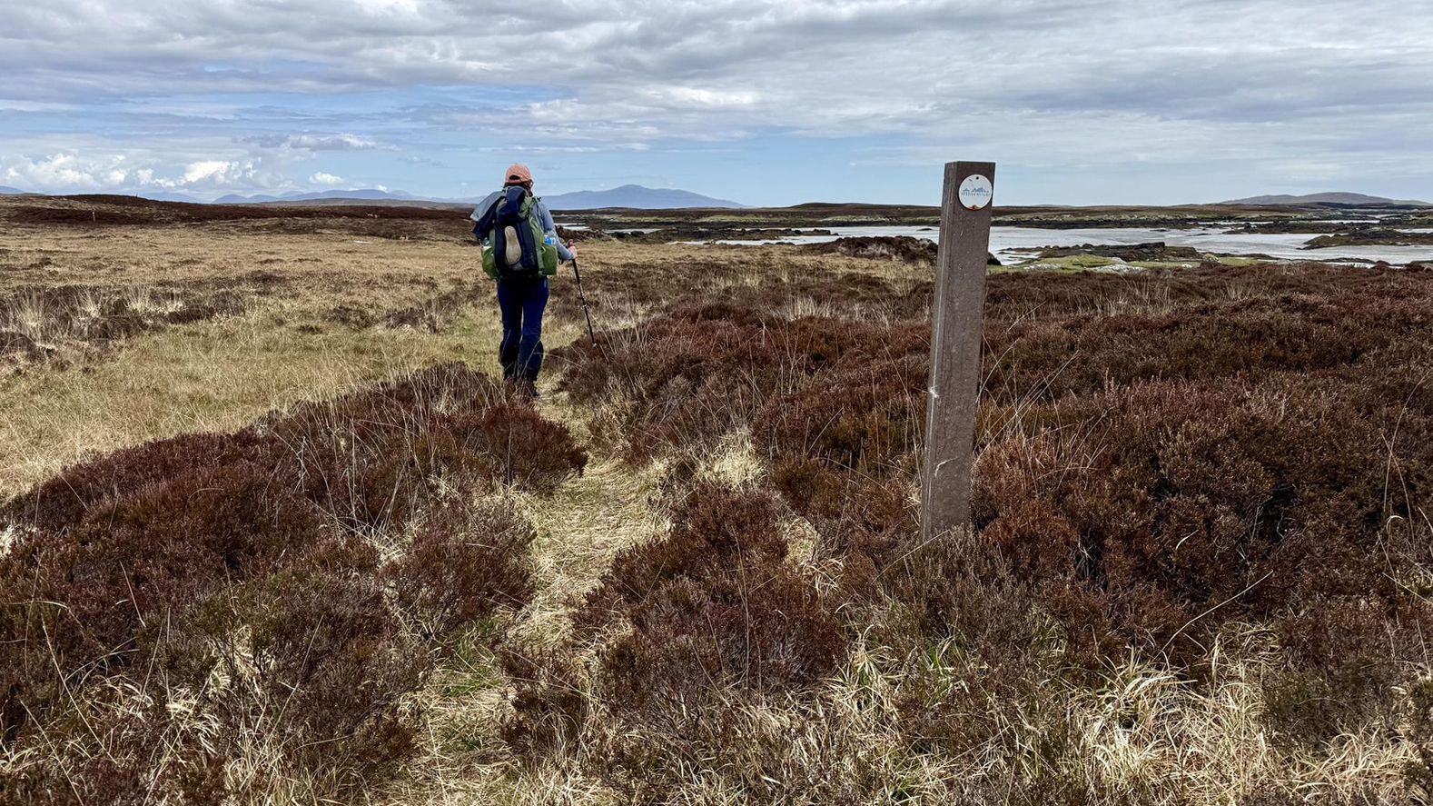
Embark on an easy hike through the stunning landscapes of North Harris, leading you to the renowned Eagle Observatory and further to Loch Scourst. This route covers 4.1 miles (6.6 km) with a gentle elevation gain of 207 feet (63 metres), making it suitable for all fitness levels. You can expect to complete the journey in about 1 hour and 45 minutes, traversing well-maintained tracks that give way to rugged mountains, expansive moorlands, and a dramatic coastline. As you hike, you will encounter a peaty river, dried heather underfoot, and bog cotton, all set against the backdrop of ancient Lewisian Gneiss bedrock forming the peaks and contributing to a largely treeless, remote, and open feel.
To begin your adventure, park at the designated car park; the initial 1.2 miles (2 km) to the Eagle Observatory is a straightforward walk along a track, taking approximately 30 minutes. The path remains well-developed for a significant portion of the route beyond the observatory, ensuring an accessible experience. The Outer Hebrides can experience varied weather, so it is always wise to check forecasts before you set out. This trail is part of the broader Outer Hebrides Bird of Prey Trail, offering excellent opportunities for wildlife spotting throughout the year.
The primary highlight of this trail is the North Harris Eagle Observatory, Scotland's only purpose-built viewing facility for golden eagles. Located in an area with one of Europe's highest densities of breeding golden eagles, the observatory provides an exceptional chance to observe these magnificent birds in their natural habitat. Inside the attractive timber hide, you will find large windows offering commanding views up Glen Meavaig and informational panels. Beyond golden eagles, you might also spot white-tailed sea eagles, merlins, golden plovers, greenshanks, red deer, and unique plants like sundews and butterworts, especially during autumn and winter.
4.7
(28)
171
hikers
5.39km
01:27
70m
70m
Embark on the Scalpay Heritage Trail, an easy hike that guides you through a landscape of rugged coastline and open moorland. You'll cover 3.4 miles (5.4 km) with a gentle elevation gain of 227 feet (69 metres), making it a comfortable journey for most. The route offers expansive views across the Outer Hebrides and towards Skye, providing a sense of island adventure. As you hike, keep an eye out for the historic Eilean Glas Lighthouse, a prominent landmark with its distinctive red and white stripes. This trail promises a refreshing outdoor experience, taking approximately 1 hour and 27 minutes to complete.
Before you set out, be aware that the trail features mixed terrain, including rough tracks and gravel paths. Some sections can be quite wet and boggy, so good waterproof boots are highly recommended for your comfort and safety. Although the route is waymarked, carrying a map or using a GPS device is nearly essential for navigation, especially if you encounter poor weather conditions. This preparation will ensure you have a smooth and enjoyable hike on Scalpay.
Beyond the scenic beauty, the trail offers a chance to spot local wildlife in their natural habitat. Look out for seals basking on the rocks, playful otters near the water's edge, and even eagles soaring overhead. The island's unique ecosystem and the historical significance of landmarks like the Eilean Glas Lighthouse add depth to your outdoor exploration, making this route a memorable part of your visit to the Outer Hebrides.

Sign up for free
4.0
(1)
25
hikers
2.61km
00:42
40m
40m
Embark on the Laxadale Lochs loop on the Isle of Harris, an easy hike that takes you through accessible paths and along the shores of Lochanan Lacasdail. This route, spanning 1.6 miles (2.6 km) with a gentle elevation gain of 117 feet (36 metres), offers a pleasant experience for various fitness levels. You can expect to complete this loop in about 42 minutes, enjoying views of the high moorland and the interconnected freshwater lochs. While much of the trail follows easily-accessible paths, be aware that some sections may involve wet and boggy ground, and parts of the route utilize a landrover track.
This trail is generally considered suitable for most hikers, offering a straightforward and scenic experience. The paths and tracks in North Harris, including this loop, are actively maintained by the North Harris Trust, ensuring good access for both residents and visitors. You will find the trail manageable with minimal gradual ascents, making it a good choice if you are looking for a relaxing outdoor activity without significant physical challenge.
Beyond the picturesque lochs, the area provides a serene environment perfect for observing local wildlife, especially various bird species. The cluster of three interconnected freshwater lochs forms a central feature of the landscape, inviting activities like boating and fishing if you wish to extend your visit. This loop offers a chance to immerse yourself in the natural beauty of the southern coastline of North Harris, highlighting the region's unique blend of moorland and freshwater ecosystems.
4.7
(7)
113
hikers
4.61km
01:16
70m
70m
Easy hike. Great for any fitness level. Easily-accessible paths. Suitable for all skill levels.
4.0
(1)
16
hikers
Easy hike. Great for any fitness level. Easily-accessible paths. Suitable for all skill levels.
Get access to more routes and recommendations from other explorers.
Sign up for free
Already have an account?
Our route recommendations are based on thousands of hikes, rides, and runs completed by other people on komoot.
Start today with a free account
Your next adventure awaits.
Login or Signup
Other adventures around North Harris


Tips from the Community

a resting point where silence will be beneficial
0
0
Pleasant walk, either along the coast (with appropriate walking equipment) or on a passable path.
0
0

Despite the information on the website, the café is open on sundays too. The owner loves to chat and the cakes are yummy. https://www.eileanglas.co.uk/your-visit
0
0

Luskentyre beach is a stunning white sand beach on the west coast of South Harris in the Outer Hebrides of Scotland. It is one of the largest and most spectacular beaches on Harris, with miles of sand and turquoise water. It has been named one of the top beaches in the UK and the world by various media outlets. Luskentyre beach is also a great place to enjoy the scenery of the island of Taransay, the sand dunes, and the mountains of North Harris.
2
0

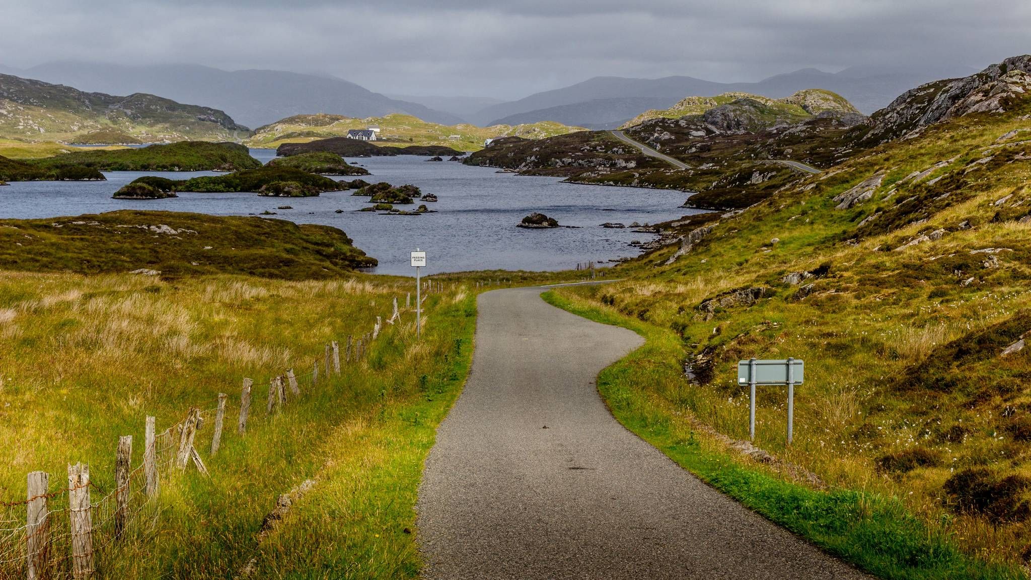
Lochanan Lacasdail is a cluster of three interconnected freshwater lochs located on the southern coastline of North Harris. Surrounded by breathtaking landscapes, these lochs provide the perfect scene for hiking, boating and wildlife observation.
1
0
Ceann a Bai is a small residence situated nearby to Lingerbay and Eilean Collam on the rocky southeast coast of Isle of Harris.
1
0
A small loch remotely located at the head of Glen Meavaig in North Harris. Stunning location for a picnic or to just enjoy the unique landscapes of Scotland's Outer Hebrides.
1
0
Frequently Asked Questions
How many easy hiking trails are available in North Harris?
North Harris offers a good selection of easy hiking trails. There are 9 routes specifically categorized as easy, out of a total of 26 hiking routes in the region. These trails are designed to be accessible and enjoyable for a wide range of abilities.
What kind of terrain can I expect on easy hikes in North Harris?
Easy hikes in North Harris feature diverse terrain, including coastal paths with expansive white sands, remote glens, and lochan-speckled moors. While the region is known for its mountainous areas, the easy routes generally keep elevations under 200m, providing gentle gradients and varied landscapes to explore.
Are there family-friendly easy walks in North Harris?
Yes, many of the easy trails in North Harris are suitable for families. Routes like the Laxadale Lochs loop — Isle of Harris, which is only 1.6 miles, offer shorter distances and gentle terrain, perfect for walks with children. The varied scenery, from lochs to coastal views, keeps younger hikers engaged.
Are dogs allowed on easy hiking trails in North Harris?
Yes, dogs are generally welcome on the easy hiking trails in North Harris. However, it's crucial to keep them under close control, especially in areas with livestock or ground-nesting birds. Always follow the Scottish Outdoor Access Code, which advises keeping dogs on a lead or under close control around farm animals and wildlife.
Are there any circular easy walks in North Harris?
Yes, North Harris features several circular easy walks. A notable example is the Laxadale Lochs loop — Isle of Harris, which offers a pleasant 1.6-mile circuit through lochan-speckled terrain. Another option is the Ceann a' Bhaigh – Eilean Glas Lighthouse loop from Scalpay, providing coastal views on the island of Scalpay.
What natural features or landmarks can I see on easy hikes?
Easy hikes in North Harris offer opportunities to see a variety of natural features and landmarks. You can visit the Huisinis Beach and Gateway, explore the Lochanan Lacasdail, or enjoy the coastal scenery around Scalpay Island. The North Harris Eagle Observatory & Loch Scourst trail also leads to a prime spot for viewing eagles.
Is public transport available to reach trailheads for easy hikes?
Public transport options in North Harris are limited, especially to more remote trailheads. While there are bus services connecting some of the main villages like Tarbert, reaching specific starting points for hikes often requires a car. It's advisable to check local bus timetables in advance if you plan to rely on public transport.
Where can I find parking for easy hiking trails?
Parking is generally available at or near the trailheads for most easy hikes in North Harris. For popular routes like the North Harris Eagle Observatory & Loch Scourst trail, designated parking areas are usually provided. For coastal walks, parking can often be found near beaches or small settlements. Always park responsibly and considerately.
What do other hikers enjoy the most about hiking in North Harris?
The area is highly rated by the komoot community, with an average score of 4.5 stars from over 100 reviews. Hikers frequently praise the stunning, diverse landscapes, from dramatic mountains to pristine beaches, and the sense of wild remoteness. The well-maintained paths and opportunities for wildlife spotting are also often highlighted.
What is the best time of year to visit North Harris for easy walks?
The best time for easy walks in North Harris is typically from late spring to early autumn (May to September). During these months, the weather is generally milder, and daylight hours are longer. However, be aware that midges can be prevalent in summer, especially on still, warm days. Spring and early autumn often offer pleasant temperatures with fewer midges.
Are there any easy coastal walks with beach access?
Yes, North Harris is famous for its stunning coastal scenery and offers easy walks with beach access. The Cake Shed with Honesty Box – Luskentyre Beach Secluded Bay loop from Laxdale River is an excellent example, allowing you to experience the expansive white sands of Luskentyre Beach. Huisinis Beach is another notable coastal attraction accessible via trails.
Can I see wildlife on easy hikes in North Harris?
North Harris is a fantastic place for wildlife viewing, even on easy trails. The North Harris Eagle Observatory & Loch Scourst trail is specifically designed for spotting golden and white-tailed eagles. You might also encounter red deer, otters, and a variety of seabirds along coastal paths and lochs.
Are there any cafes or amenities near the easy hiking trails?
Amenities are generally found in the main settlements like Tarbert. While some remote trailheads might not have facilities directly adjacent, you can often find cafes, small shops, or accommodation within a reasonable driving distance. For example, the Cake Shed with Honesty Box – Luskentyre Beach Secluded Bay loop from Laxdale River route even passes a unique honesty box for refreshments.
Most popular routes around North Harris
Most popular attractions around North Harris

Get inspired with the komoot mobile app


Explore more
Browse the best Hikes in other regions.
