The best walks and hikes around Kesfeld
4.5
(3151)
11,712
hikers
463
hikes
Hiking around Kesfeld offers exploration of the Westeifel region, characterized by rolling hills, lush forests, and agricultural landscapes. Situated on the southern edge of the Eifel, the area features diverse terrain including high plateaus and stream valleys. This natural setting provides varied environments for outdoor activities, with proximity to the borders of Luxembourg and Belgium.
Best hiking trails around Kesfeld
- The most popular hiking route is Wayside Cross with Bench – Reinforced Concrete Obstacle Model 1939 loop from Großkampenberg,…
Last updated: May 14, 2026
4.8
(12)
79
hikers
Easy hike. Great for any fitness level. Easily-accessible paths. Suitable for all skill levels.
3.8
(6)
48
hikers
Moderate hike. Good fitness required. Easily-accessible paths. Suitable for all skill levels.

Sign up for free
4.4
(11)
37
hikers
9.44km
02:33
120m
120m
Moderate hike. Good fitness required. Easily-accessible paths. Suitable for all skill levels.
4.5
(6)
22
hikers
Easy hike. Great for any fitness level. Easily-accessible paths. Suitable for all skill levels.
4.7
(6)
25
hikers
Moderate hike. Good fitness required. Easily-accessible paths. Suitable for all skill levels.
Get access to more routes and recommendations from other explorers.
Sign up for free
Already have an account?
Our route recommendations are based on thousands of hikes, rides, and runs completed by other people on komoot.
Start today with a free account
Your next adventure awaits.
Login or Signup
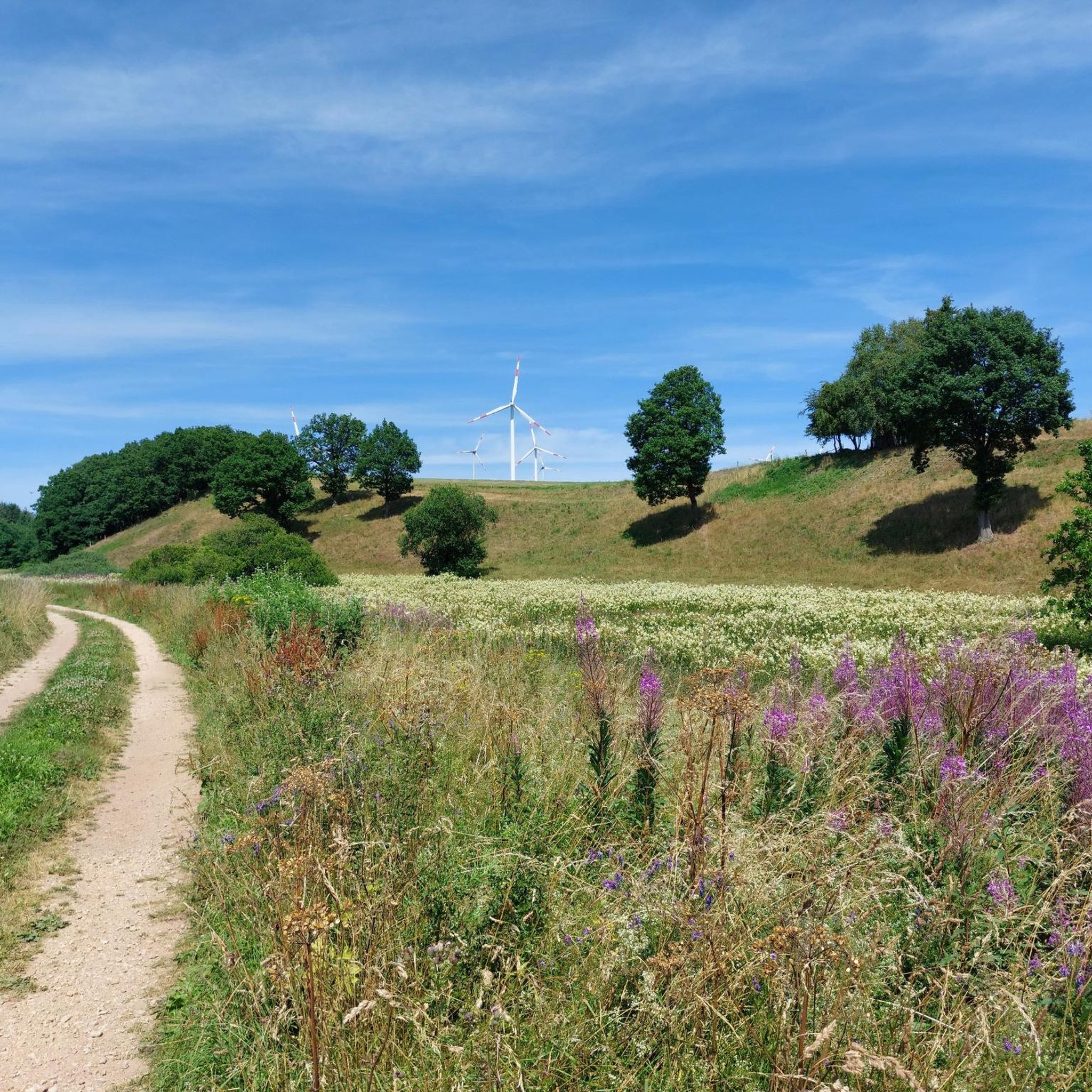
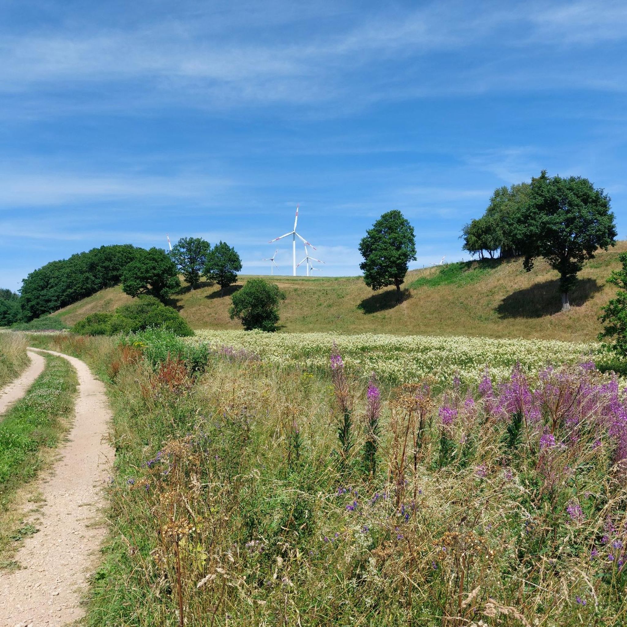
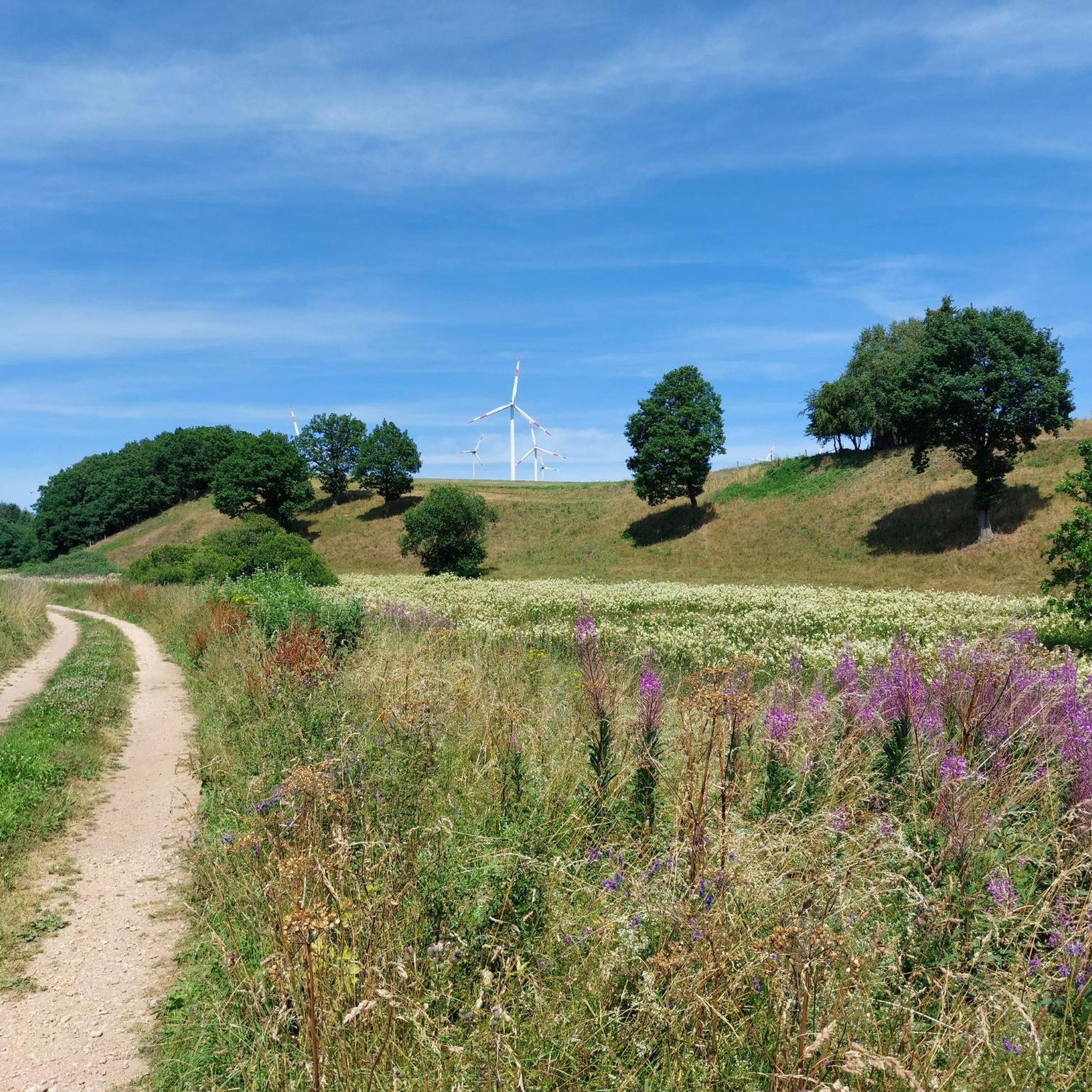
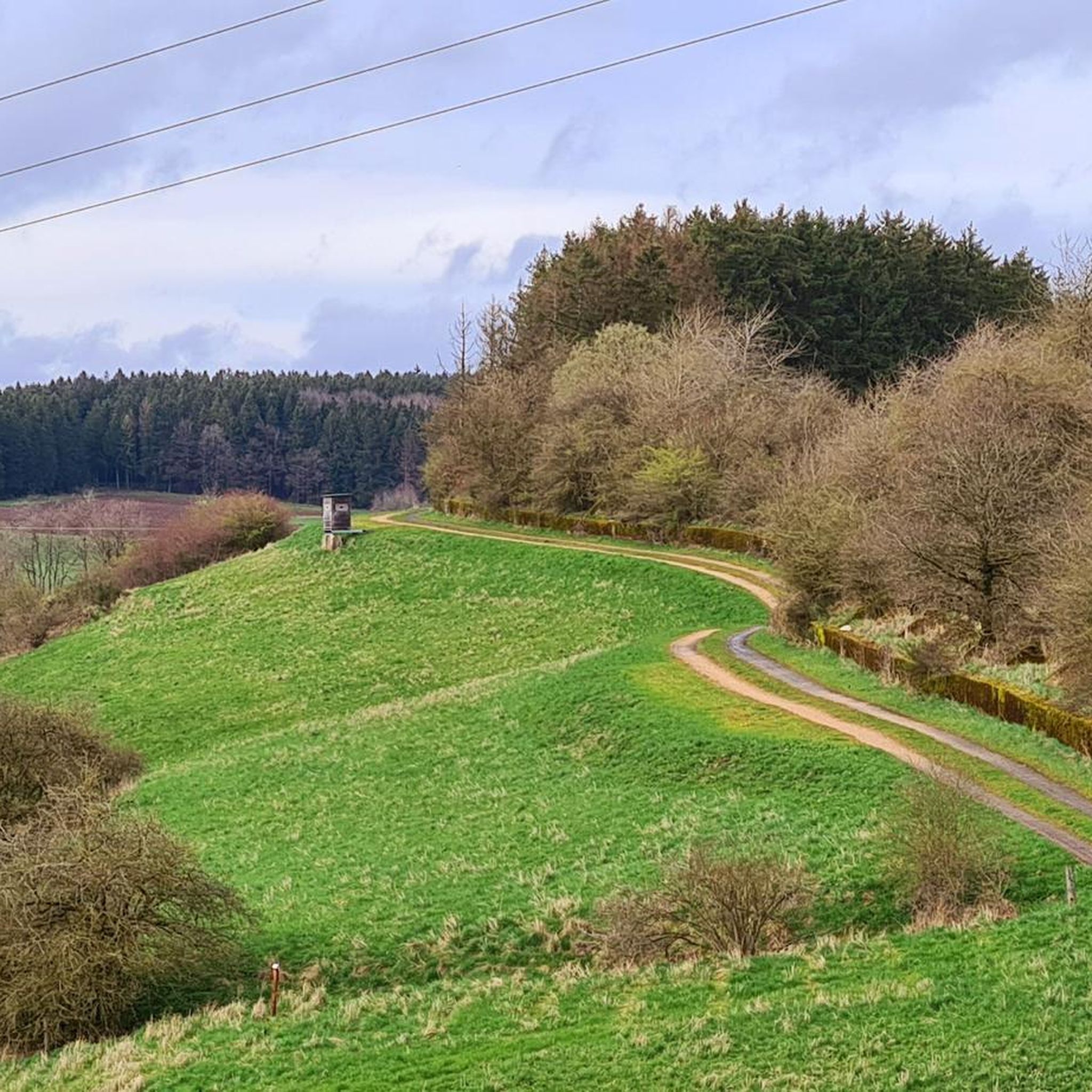

Tips from the Community

Beautiful viewpoint above Pronsfeld
0
0

The artist is called Charlie Benner
1
1
Beautiful small garden with various sculptures
1
1

Many windmills in the area that make disturbing noises.
0
3
Actually, this west wall should be made a hundred meters more visible.
0
0

One of the many West Wall bunkers that were blown up. You can still see a little bit of what it was originally built like.
1
0

Ideal conditions for the friendly rodents
5
0
The Alfbach rises in the Schneifel at an altitude of 631 m above sea level. NHN. The source is on the northern slope of the Schwarzen Mann (697.8 m above sea level, about three kilometers northeast of Halenfeld in the area of the local community of Buchet. The stream initially flows in a southwesterly direction towards Halenfeld, where it takes in its main tributary, the Donsbach, then turns south to Buchet and then continues its course to the southwest through Bleialf. At Großlangenfeld it changes direction again to the south and crosses under the A 60 at the Habscheider Mühle. Flowing mainly further to the southeast, the Alfbach flows west of Pronsfeld at 365 m above sea level. NHN into Prüm coming from the north.
5
0
Frequently Asked Questions
How many hiking trails are available around Kesfeld?
There are over 460 hiking routes around Kesfeld, offering a wide variety of options for all skill levels. These trails explore the diverse landscapes of the Westeifel region, including rolling hills, dense forests, and historical sites.
Are there easy hiking trails suitable for beginners or families in Kesfeld?
Yes, Kesfeld offers nearly 200 easy hiking trails. A great option for an accessible walk is the Wayside Cross with Bench – Reinforced Concrete Obstacle Model 1939 loop from Großkampenberg, which is 3.9 miles (6.2 km) long and takes about 1 hour 40 minutes to complete, exploring historical anti-tank obstacles.
What kind of natural landscapes can I expect to see while hiking in Kesfeld?
Kesfeld is situated on the southern edge of the Eifel region, characterized by rolling hills, lush green forests, and clear rivers. You'll encounter diverse scenery, from agricultural lands to high plateaus and stream valleys, reflecting the natural beauty of the Westeifel.
Are there any longer or more challenging hikes around Kesfeld?
Yes, for those seeking a longer adventure, there are 26 difficult trails and 244 moderate trails. A moderate option is the Biber Valley Nature Reserve – Pronsfeld Railway Museum loop from Habscheid, an 11.4 miles (18.4 km) trail that takes nearly 5 hours to complete, leading through the scenic Biber Valley Nature Reserve.
What historical sites can be explored on hikes near Kesfeld?
Many trails in the Kesfeld area incorporate historical features, particularly from World War II. For instance, the Old Bunker – World War II Bunker loop from Üttfeld is a 5.9-mile (9.4 km) path that leads past World War II bunkers. Another route, the Ruined Westwall Bunker – Dragon's Teeth (Westwall) loop from Lützkampen, explores the 'dragon's teeth' anti-tank obstacles.
Are there circular hiking routes available in Kesfeld?
Yes, many of the hiking routes around Kesfeld are circular, allowing you to start and end at the same point. Examples include the Reinforced Concrete Obstacle Model 1939 – Rocky Escarpment in the Eifel loop from Großkampenberg, which offers a moderate 11.8-mile (19 km) loop.
What do other hikers say about the trails in Kesfeld?
The hiking routes in Kesfeld are highly rated by the komoot community, with an average score of 4.5 stars from nearly 3,000 reviews. Hikers often praise the diverse terrain, the blend of natural beauty with historical elements, and the well-maintained paths.
What is the best time of year to go hiking in Kesfeld?
The Eifel region around Kesfeld offers beautiful hiking experiences throughout the year. Spring brings vibrant meadows, summer provides cool forest shade, autumn showcases rich foliage, and winter allows for activities like snowshoeing or enjoying the serene, snow-covered landscapes.
Are there any notable natural monuments or attractions near the hiking trails?
Yes, the area features several interesting natural monuments and attractions. You can visit the European Monument at the Three-Country Point, explore the scenic Alfbach Valley, or see the Rittersprung Ouren. The Pronsfeld railway station and vintage locomotive is also a unique highlight.
Is public transport available to reach hiking trailheads in Kesfeld?
While specific public transport connections directly to every trailhead might vary, Kesfeld is a municipality in the district of Bitburg-Prüm. It's advisable to check local bus schedules or regional transport options for connections to larger towns near trail starting points. Many hikers opt for personal vehicles to access the more remote trailheads.
Are the hiking trails in Kesfeld dog-friendly?
Generally, the natural trails in the Eifel region are dog-friendly, but it's always recommended to keep dogs on a leash, especially in nature reserves or areas with livestock. Please respect local signage and ensure your dog's waste is properly disposed of.
Where can I find parking for hiking trails in Kesfeld?
Parking availability varies by trailhead. Many routes, especially those starting from villages like Großkampenberg, Üttfeld, Lützkampen, or Habscheid, typically have designated parking areas or roadside parking options. It's best to check the specific route details on komoot for recommended starting points and parking information.
Most popular attractions around Kesfeld

Get inspired with the komoot mobile app


Explore more
Browse the best Hikes in other regions.
